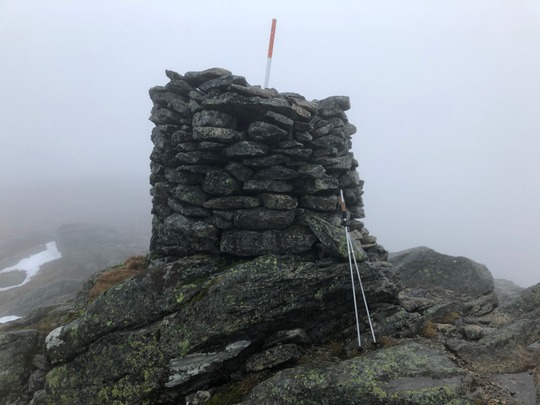
Location: North 60.80678, East 005.41580 (GPS at the summit).
Hordaland, Norway
Difficulty, YDS class 1
Climbed on November 25. 2020
Information:
How to get there:
Drive E-39 north from Bergen. Immediately before the long Eikefet tunnel, turn left
towards Masfjordnes on Hwy. 570. Drive to Masfjordnes (a bit less than 30 kilometer), then
continue along the fjord (do not take the ferry!) to the small community called Totland.
Just after the road turns more north (in Andvika), locate a signed road that forks (slightly) right.
After 1.1 kilometer, this road becomes a toll road.
Stop and pay toll. Next, continue to lake
Storevatnet. Keep right here, the road now turns into the narrow valley Meisdalen.
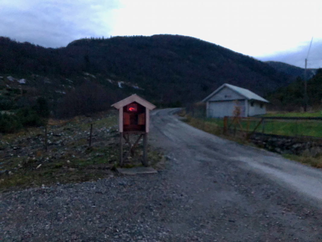
Continue until the road ends with a nice parking area. This is location
N60.81617, E005.42098, elevation about 250 meter.
Route description:
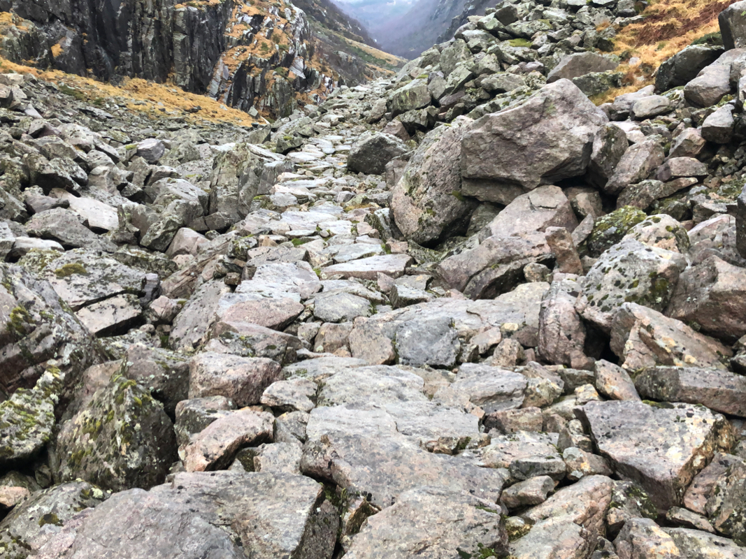
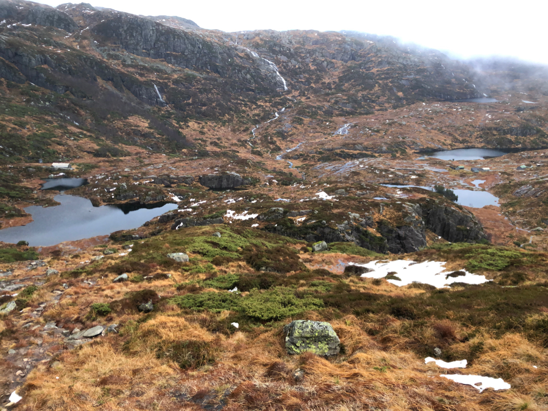
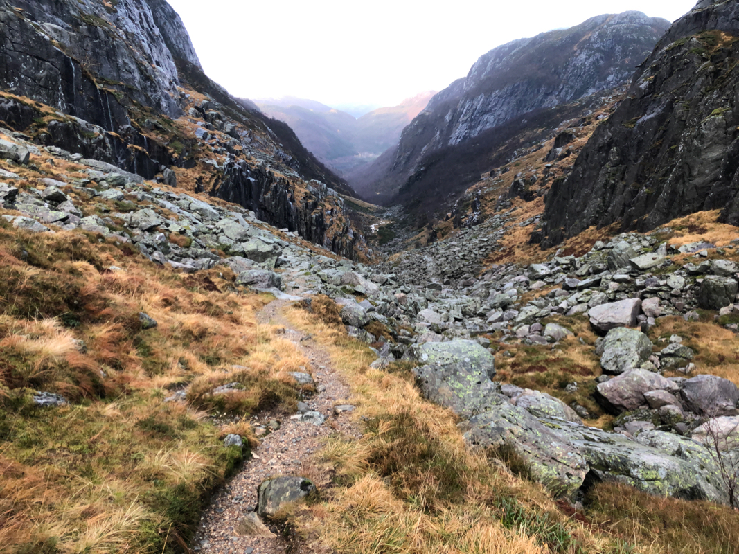
The trail starts on the left near the river. Follow this trail to the col
at the top of the valley. The trail is very nice, one will see how big rocks
have been put in place to form a nice path
across terrain that otherwise would
be cumbersome boulder areas. Obviously, a lot of hard and manual work performed
quite many years ago.
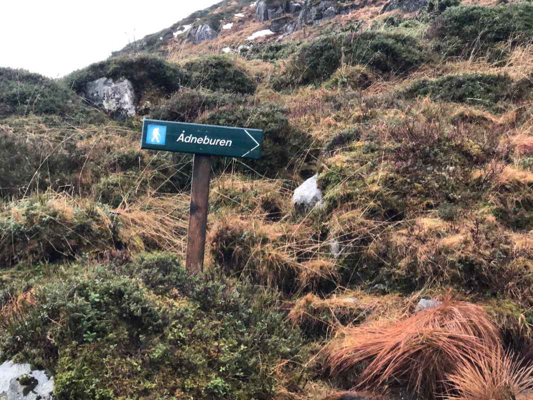
In the col, there is a signed trail fork. This is at location
N60.80232, E005.43191, elevation about 520 meter. Turn right (the signs
says Ådneburen), and continue uphill. Follow this well marked trail
to the summit cairn.
Note that there is terrain a bit more than 100 meter east that may be about
one meter higher than the cairn area.
Comments:
I had a dentist appointment in the morning, then driving north while doing
a few job related phone calls. I arrived at the trailhead around 1215, but
needed 15 minutes to change while staying out of the rain.
Leaving at 1230, I managed to start out uphill instead of along the clear
trail, utterly stupid. I quickly moved back down to the trail and followed
it to the col. A bit slippery and the creek was running big making crossing
slightly harder than under more normal conditions. I arrived at the trail fork
after one hour and at the summit cairn at 1410. A brief stay, the summit was
completely fogged in, no visibility. The return hike went well without any
incidents and I was back at the car by 1535, well ahead of darkness.
