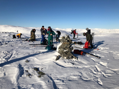
Location: North 60.74982, East 006.67029 (GPS at the summit)
Voss, Norway
Difficulty: (YDS) class 2
Climbed February 7. 2021.
Information:
How to get there:
From Bergen, drive Hwy. E-16 to Voss (about 100 km), then continue past
Vinje (traffic circle) to Oppheim. Continue along the left side of
lake Oppheimsvatnet, still on E-16. From the location where you leave
this lake, drive about 1.5 kilometer more, then look for a road forking
right with a sign reading Brandset. Take this road, continue straight (uphill)
in a couple of road forks as the road climbs higher on the right hand side
of the main valley. About 1.5 kilometer after the last fork, you will find a parking
area on the right hand side of the road. Immediately thereafter, the road
crosses a small creek on a bridge, there is a gate here. Just park at the parking lot,
this is the tarilhead, location N60.77831, E006.70009, elevation about 570 meter.
This area is a military range, if there is military activity, then check the
route with some authorized person in order to avoid conflicts. The military seems
quite friendly and helpful co-existing with outdoor activities.
The larger mountain plateau is named Kaldafjellet, while the highest point is named
Kaldanuten.
Route description: