How to get there:
Drive E-16 to Voss and continue to Oppheim.
Turn left at location 60.78992, 6.56945. Continue to the trailhead
at location 60.79383, 06.56968, A toll road starts here, but there
seems to be no parking that is not private, above. May as well park here.
Route:
Start following the road uphill. Contine uphill to location N60.80681, E006.56534.
Turn right here and continue along this forest road until arriving near the creek
at location N60.80709, E006.58021. Turn uphill here and follow this creek until
you pass just under steeper cliffs on your left, then find a natural and good
access area to the higher terrain. Ski up here and follow the gentle, wide gully
extending uphill (north) to the area between summit 1151m on your right and the summit
straight ahead.
This route is also quite a nice route for (easy) randonee skiing.
Comments:
I did this nice ski climb with my friend Harald.
We left Bergen around 0800 and first explored the forest road above the
trailhead. This is a (private) toll road, however, there was no parking available
uphill, except private spots (for cabins), thus no motivation for paying (2023) NOK 100.
The extra uphill gained by the road is also minimal.
We skied uphill from the car by 1020. The route was quite nice and there are no issues
with skiing up the short, steeper section at the base of the mountain. Unfortunately,
we did ski up into clouds here and the rest of the ascent suffered from white-out
conditions. Route finding still pretty easy and we arrived
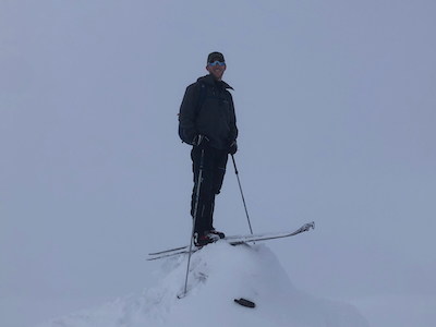
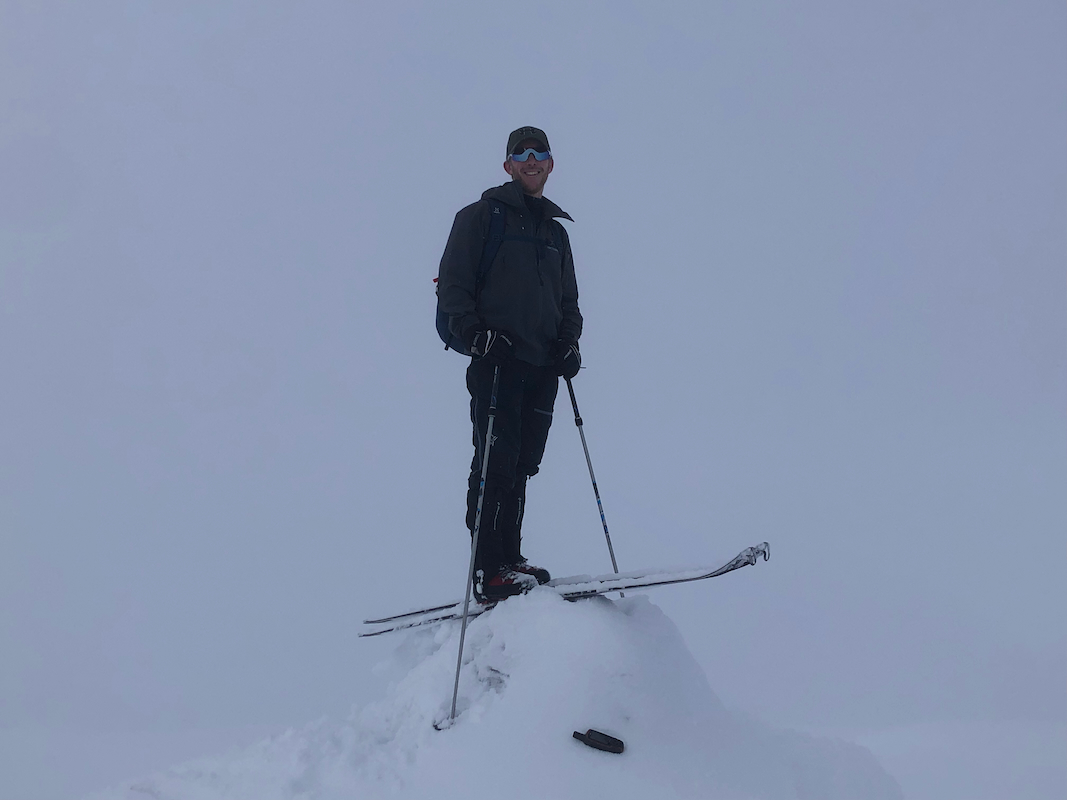
at the snow covered cairn
by 1230. Descending after about 10 minutes, skiing was difficult due to the limited
visibility. The conditions again improved when nearing the slightly steeper lower
section.
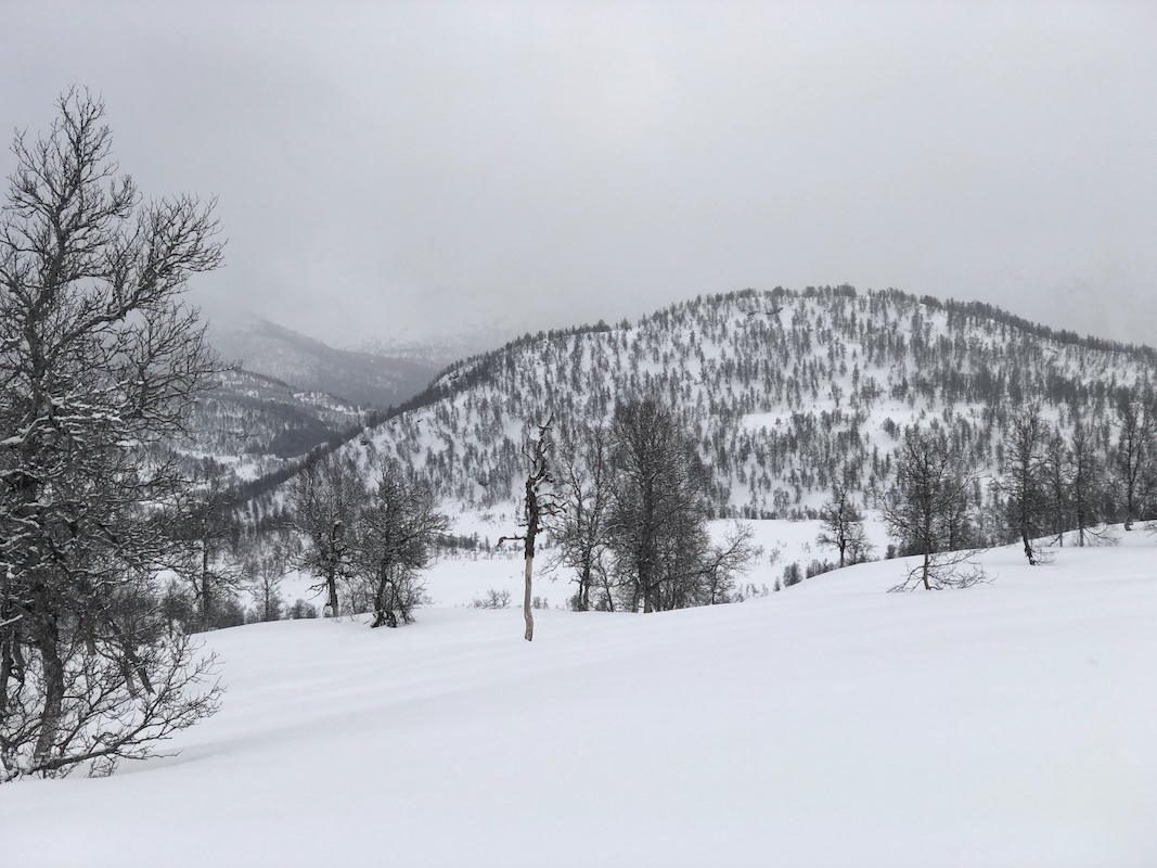
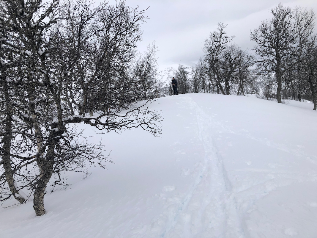
We now skied east just below the steeper part in order to also
visit the forest hill Åsknappen.
This was easy, the snow conditions allowed us to ski the final 100 meter vertical
climb without any wax or skins on the skis. We arrived on top
at 1350. There are two alomost equal summit points quite close together.
Lidar data shows the southermost point to be 40 centimeter higher.
We left around 1400 and skied back to our car by 1500.