How to get there:
Drive E-39 north from Bergen to Romarheim. Make a right turn there, the road
has signs for Dale and Modalen. Measure from here. Drive 15.1 kilometer to the roadfork
with the road going to Dale (through a tunnel) going right. Take the left fork going north
to Steinlandsvatnet. At kilometer 38.0, you are at the north end of this lake. Take the
road going right, a sign says BKK. Shortly, after a bridge, turn left. Continue to
kilometer 46.0, you are just below a large dam, keep left here. The road climbs in several curves.
At kilometer 50.6, the road looks a bit rougher, but one may still easily proceed with
a normal car. Roughly at kilometer 51.4, the road ends. Park here, the location is
N60.99093, E006.04876, elevation about 940 meter.
This trailhead is really far into the mountains, normally this hike would have been quite
a bit longer. The activity caused by the hydro electric power plants may be blamed or
thanked for this situation (take your pick).
Route description:
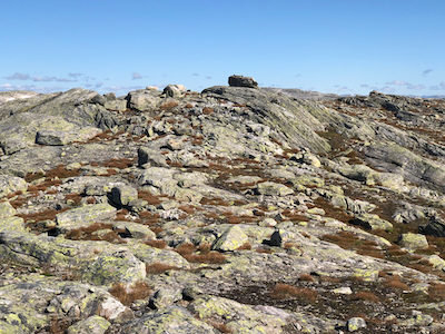
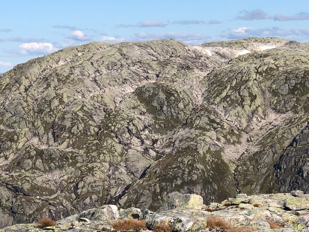
Head north-west and ascend the nice ridge that descends east from the plateau. Head west,
keep south of point 1206, then also
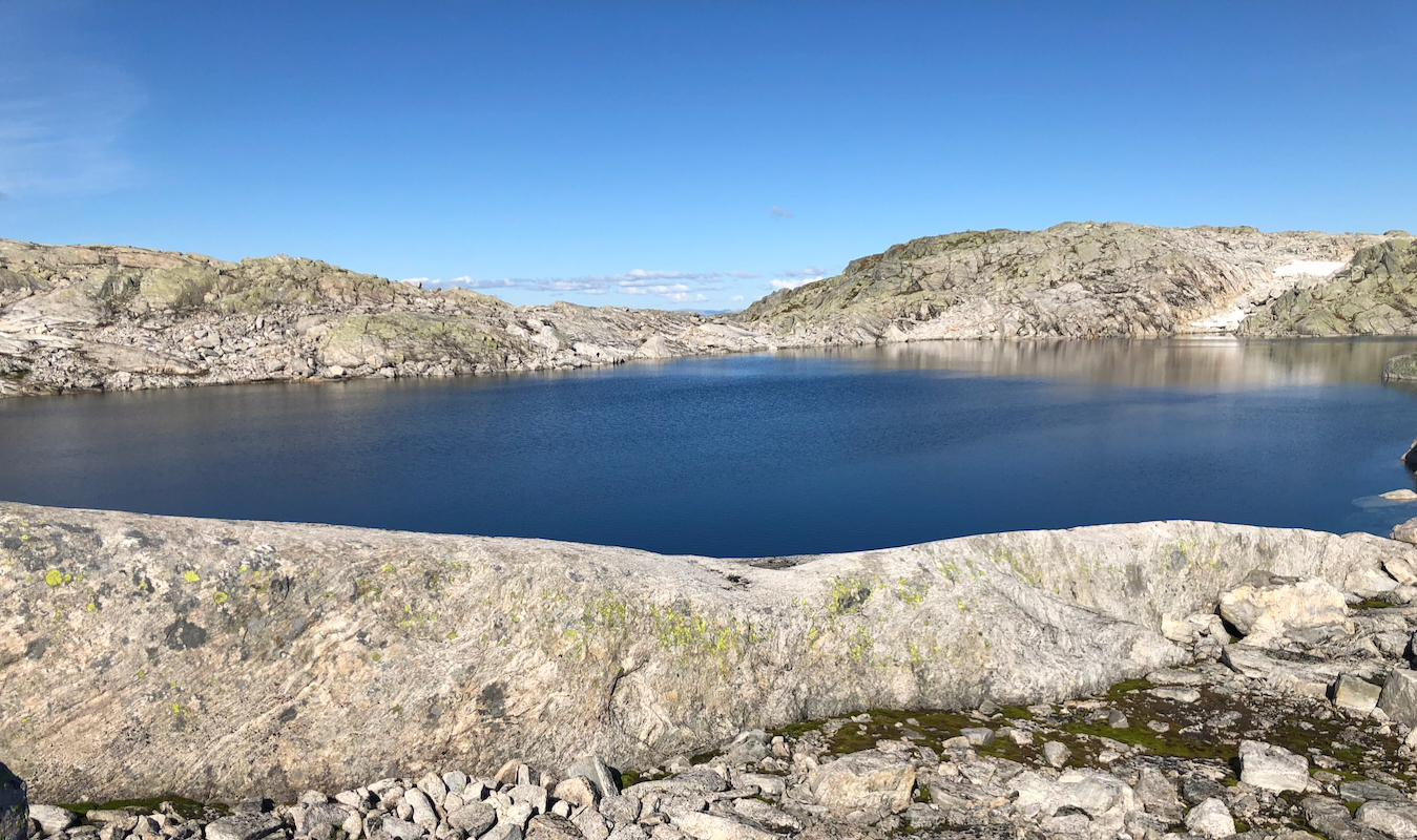
south of the small lake at 1162 m. What remains
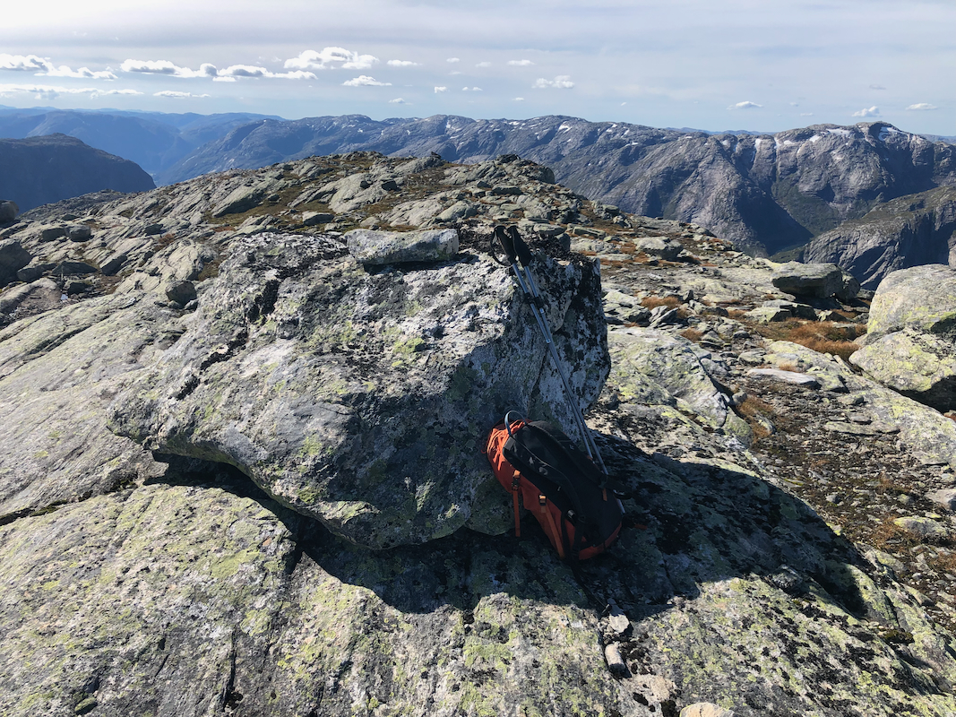
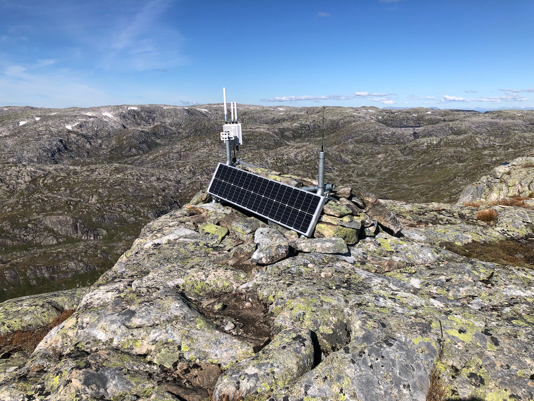
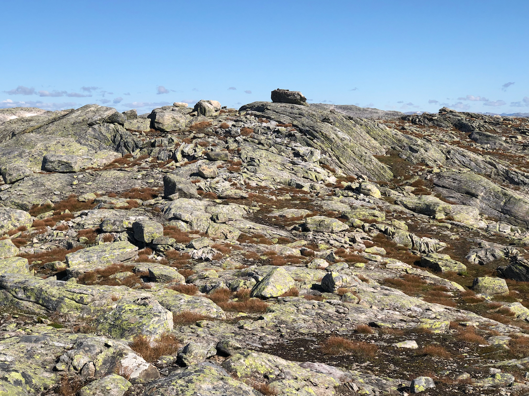
is a short walk to the summit. The summit
is a pretty large boulder. There is a small
antenna with a solar panel slightly more west.
Comments:
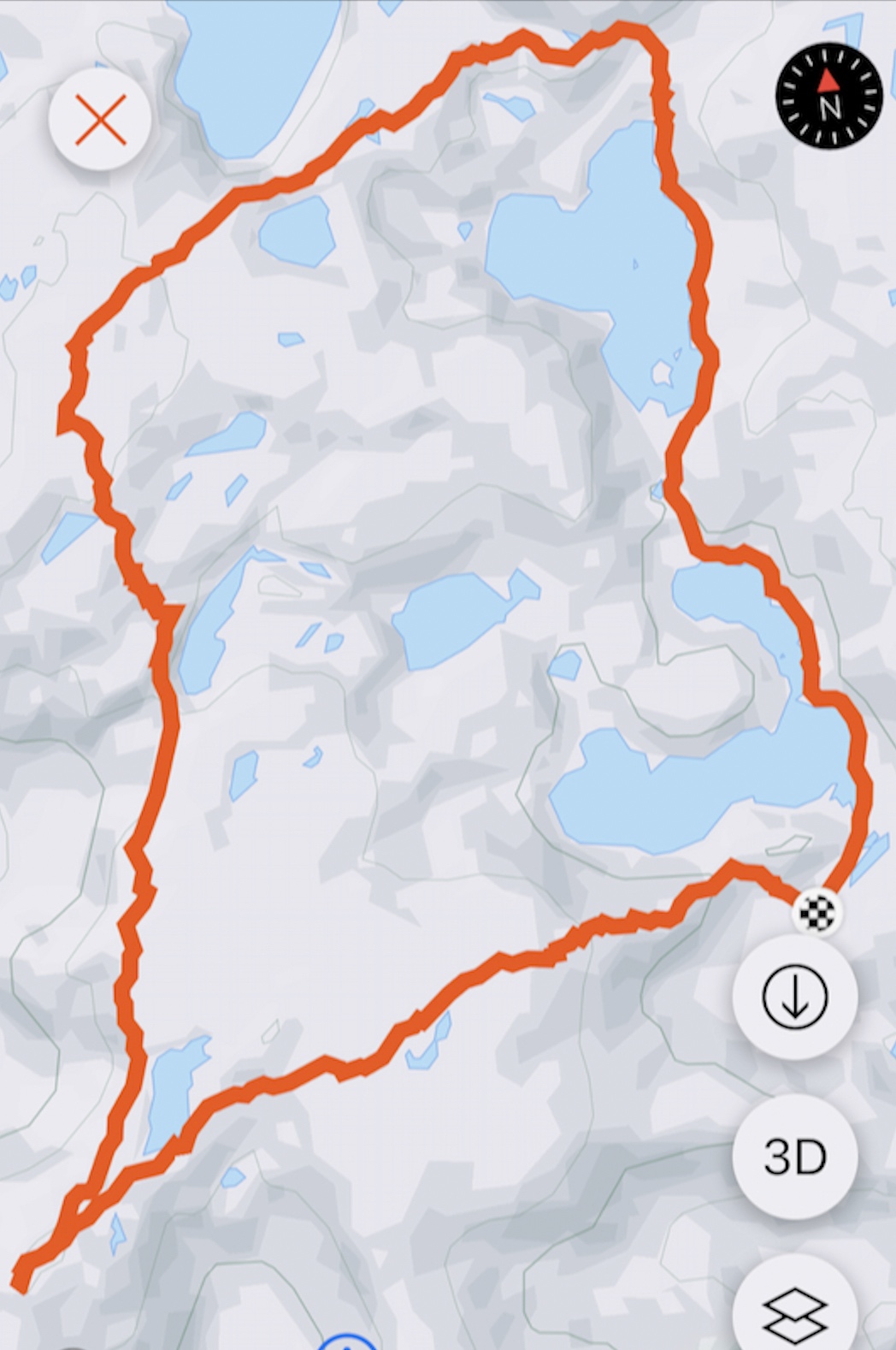
The plan was to do a loop hike and visit two summits, this one as well as the summit marked 1208,
quite far west of the trailhead.
I started at 0910, it was a crisp and nice morning,
the weather being close to perfect.
I arrived at the first summit, elevation 1248m,at
1055. At 1105, I started toward this summit, called
Vest av Åsabotnen, 1207 meter.
I walked in a fairly direct line to the col just below 1100 meter that separates the
two mountains. A very nice and natural passage across then ascending south-west was discovered and
appreciated. The remaining hike went south-west fairly close to the steeper west side, was nice - easy
terrain all the way. I arrived at the summit at 1225.
After a short break, I descended back to my car reversing the route described above.
Back at 1340, a very nice trip had come to an end.