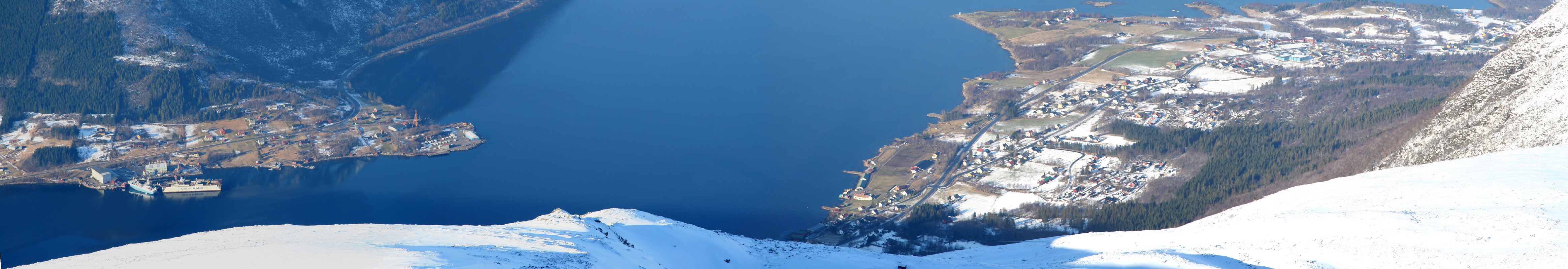
Location: North 62:34.424, East 006:58.637 (GPS at the summit)
Climbed February 19 2006.
Information:
How to get there:
From Ålesund, drive east on E-39. From Sjøholt, more precisely from
the intersection where Hwy. 650 heads south just after Sjøholt, continue 12
more kilometer east along E-39.
You drive by the road high point at Ørskogfjellet with
public parking and start descending into the valley Skorgedalen.
Find parking on the right hand side of the road just before the
houses (on the left) called Bakkesætra. This is the trailhead,
elevation 225 meter, location N62:33.199, E006:58.338. Route description:
Cross the road and head up to the buildings at Bakkesætra.
From here,
continue uphill on the left side of the river Kvernaelva. The slope is reasonable and
the vegetation causes few problems. As you reach the 400 meter elevation, the terrain
is more level and there are reasonable spots where one can cross the river without
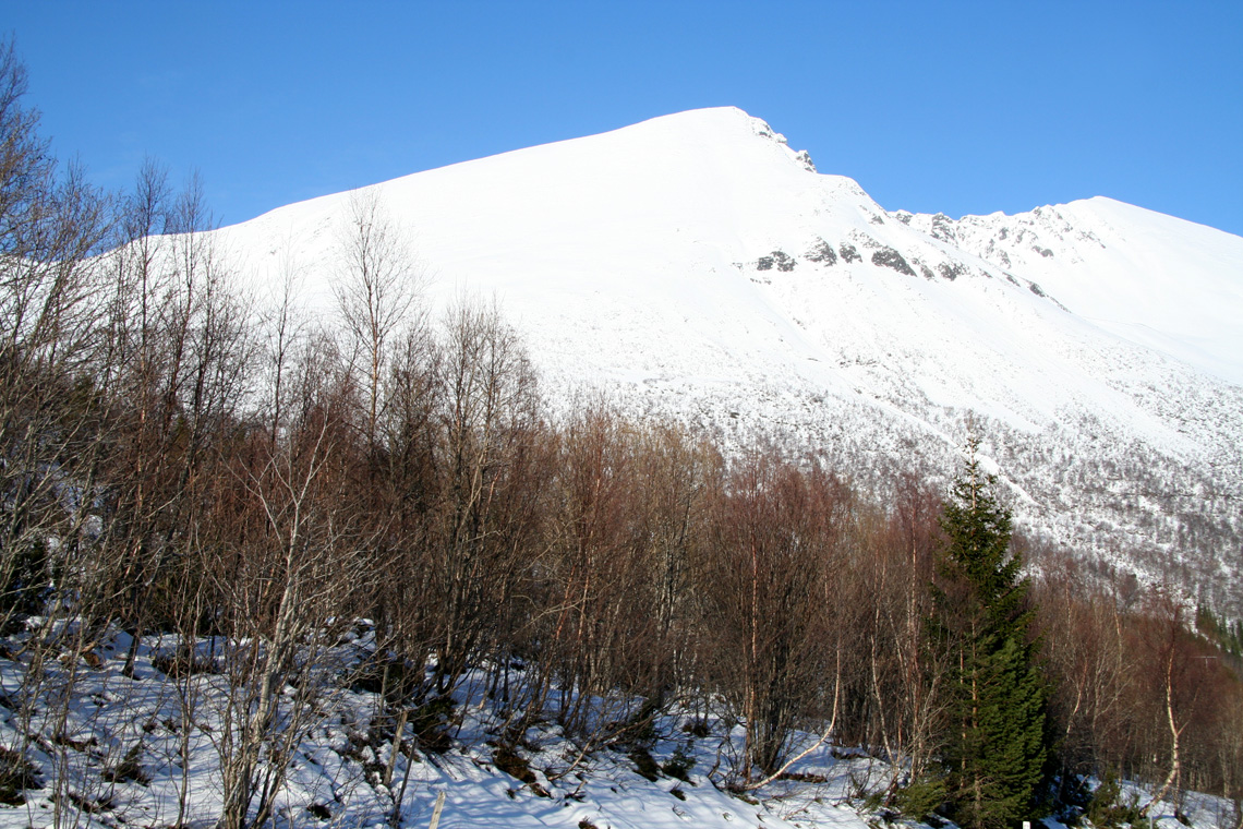
trouble. Head north up among birch trees (a bit more cumbersome), until you leave the trees
behind. Continue up the open slope below Sandfjellet (903m) towards the saddle connecting
Sandfjellet with Trolltinden. A line that runs just below a pretty distinct boulder is
reasonable. Beyond this boulder one may turn left and gain the saddle along a very broad,
natural ledge. This saddle has an elevation of close to 780 meter, location N62:34.209, E006:57.503.
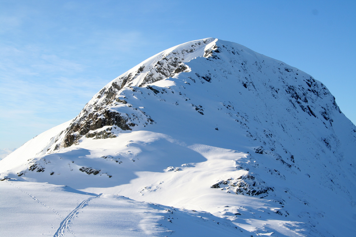
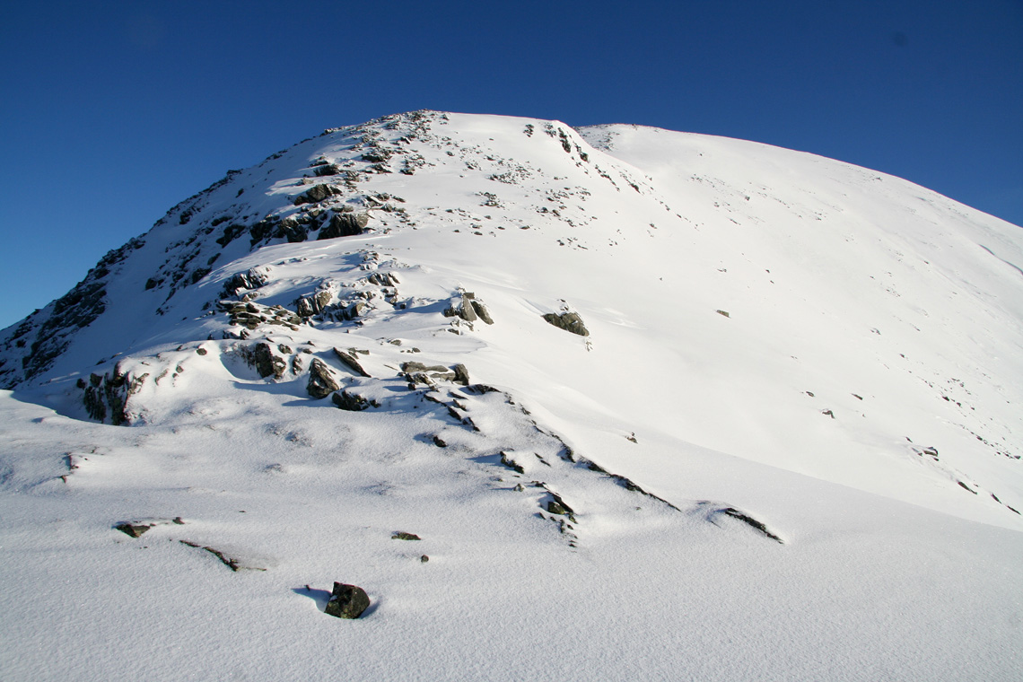
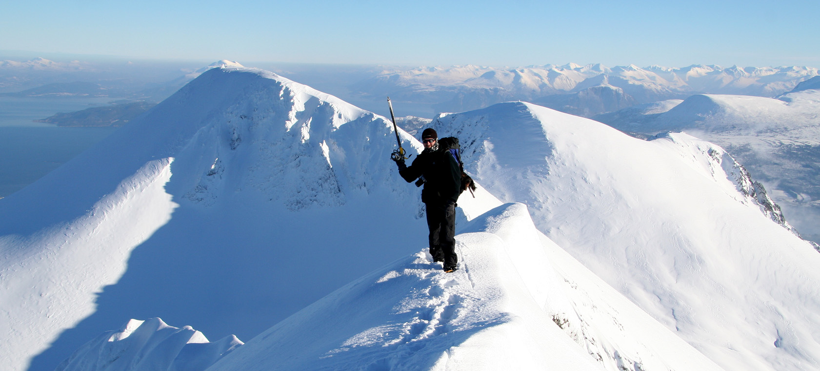
From the saddle, follow the very broad ridge to the summit. Initially, the ridge has two
slightly steeper sections, then a more gentle slope as one approaches the summit. The very final
section is a short, somewhat more narrow ridge to the summit cairn. Comments:
I did this hike with my friend Arnt.
We started from the car at 0915 and arrived at the summit about 3 hours later.
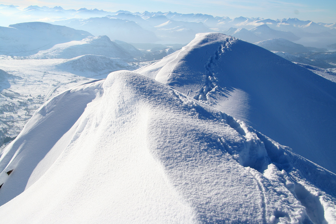
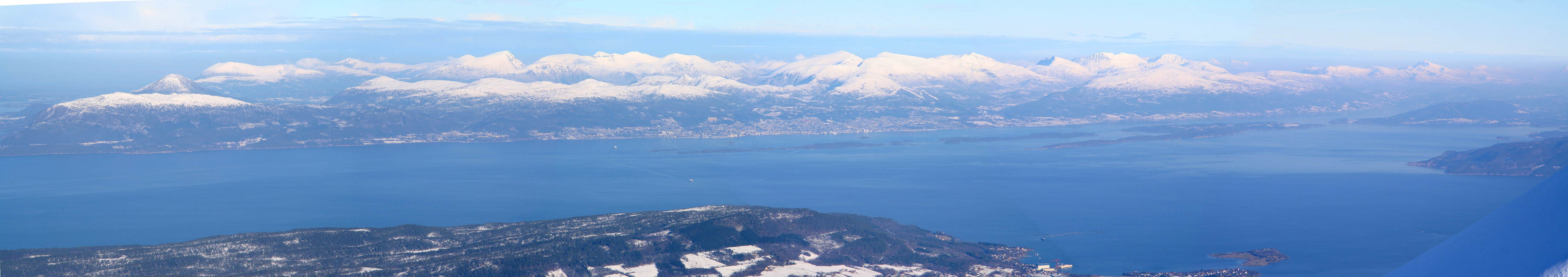
After a bit more than 15 minutes with fabulous views and nice sunny weather, we headed
back down. The slight breeze at the summit was not present on the slope and we made several
stops for more photography and lunch. We were back at the car 5 hours after departure.
This peak is indeed very nice and the feeling of being
high up on a very prominent mountain is definitely there.
We also gave the connecting ridge to Sandfjellet a closer look. This ridge looked pretty narrow
and somewhat difficult to climb with skis and a dog (Arnt's Troll came along) in the backpack.
There is a gully just left of the ridge that might provide the best winter route to the
summit, but we did not pursue these options any further.