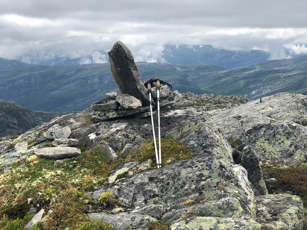
Location: North N60.90648, East 006.10753 (GPS on the summit)
Hordaland, Norway
Difficulty: (YDS) class 2
Climbed July 21. 2022
Information:
How to get there:
Take E-39 north from Bergen. After Romarheim, cross the mountain pass, then exit right
just before the long (downhill) tunnel to Matre. Pass under the Hwy., then turn right
to start driving a very long mountain road built to construct the hydro power dams and plants
to the north. Drive this road to lake Storavatnet, elevation near 710 meter. Continue passing
the dam to find a signed trailhead about 500 meter onwards. This location is
N60.86377, E005.75129. There is parking for 1-2 cars off the road, several parking spots that are
very shortly before this spot may also be used.
Route description:
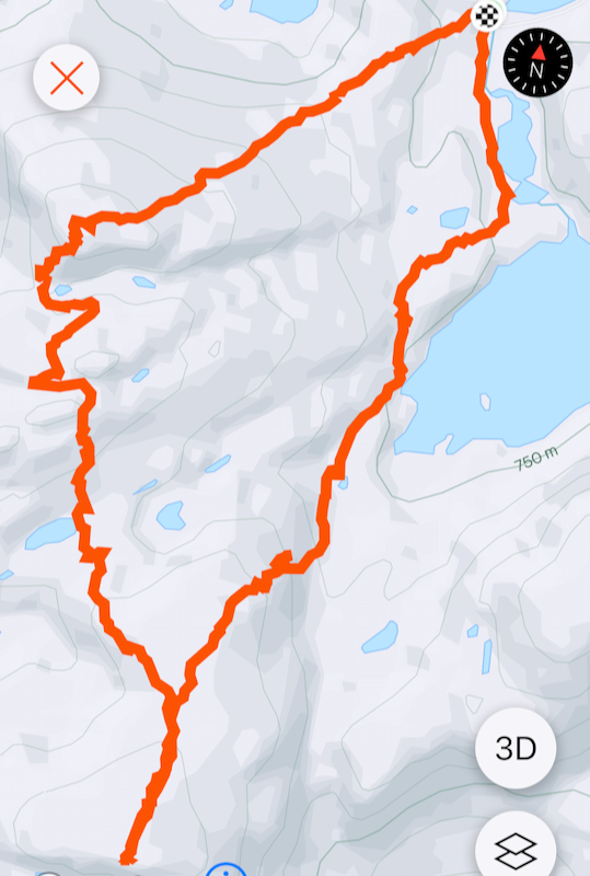
Take the trail south to lake Vetlavatnet, fork right where the trail
splits. As you get near the west end of the lake, leave the trail left and
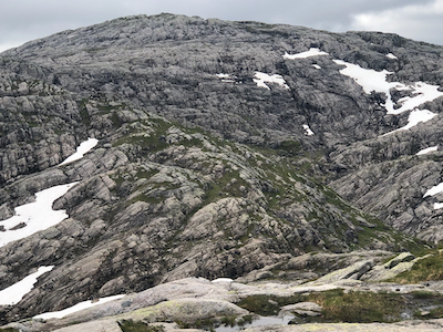
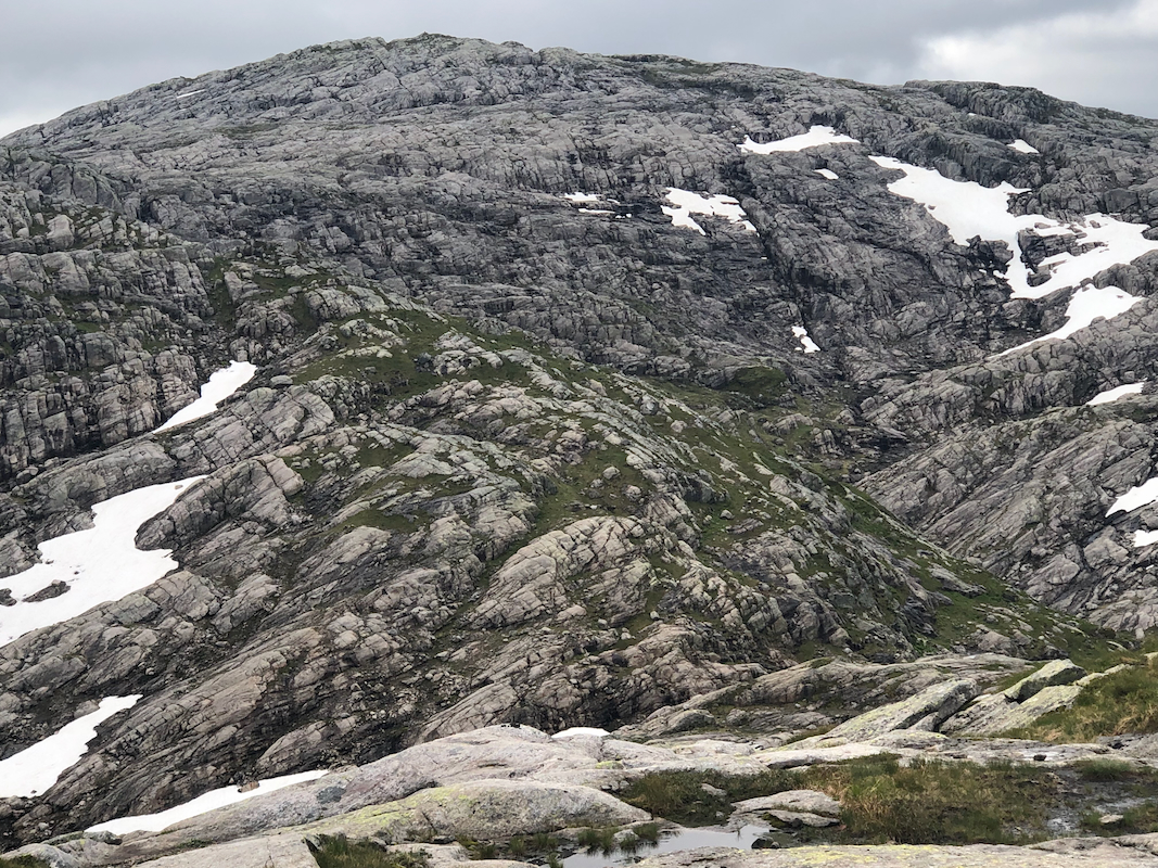
find a natural passage that will get you to the base of the north-east ridge
of Torrisskarfjellet. The terrain is steeper here, but several routes can be used
to ascend the lower part. The terrain is less steep higher up. Continue directly
to the summit. Comments:
I did this hike with my friend Harald. We came across directly from
Vetlevasseggi,
the route described above was used to descend and return back
to our car. The descent took about one hour.