Location: North 60.40994, East 006.12914 (Map at the summit)
Difficulty (YDS) class 1
Climbed June 5. 2020
Information:
How to get there:
Follow Hwy. 7 from Trengereid outside Bergen (on Hwy. E-16), to Nordheimsund.
In Nordheimsund, cross the bridge, then turn left on a road signed Sjusete.
Drive this road uphill in many sharp curves, through a residental area. Continue
uphill, shortly after the end of the 30km speed limit, turn left, there is a sign
for Sjusete. You will arrive at a toll collection booth. In 2020, the single day
charge was NOK 100, a fairly steep rate. Keep right, then a bit later, fork left as you
follow the road that will get you to Sjusete. You drive on the right (north) side of
the small lake Sjusetevatnet, then the road starts climbing. Continue uphill on a good
dirt road until you reach elevation 440 meter. You will see a sharp left curve ahead
followed by a steepish uphill. There is a turnout to your right just before this
curve, take this and park here. This is the trailhead, loction N60.39181, E006.11784.
Route description:
Continue walking up the (uphill) road. After about 200 meter, the road bends right
and you will locate a trail that leaves the road going right. There should be a wooden
sign saying Torefjell. Take this trail, first climbing, then more gentle across
meadows as it crosses under the power line. You will pass a trailfork with a sign for
Krok, keep right (straight) and continue up the main
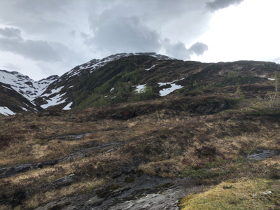
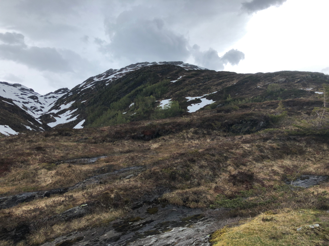
(south) ridge of Torefjell.
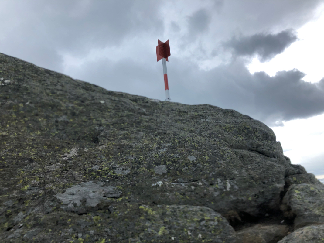
The trail will climb to the summit ridge and arrive at the summit marked with a
trigonmetric pole placed on a huge summit block.
Comments:
The forecast called for strong wind, but no rain in the first part of the day.
I decided to try a mountain hike on foot for the first time this year. The route would
be facing south and I guessed that ski would no longer be an option here.
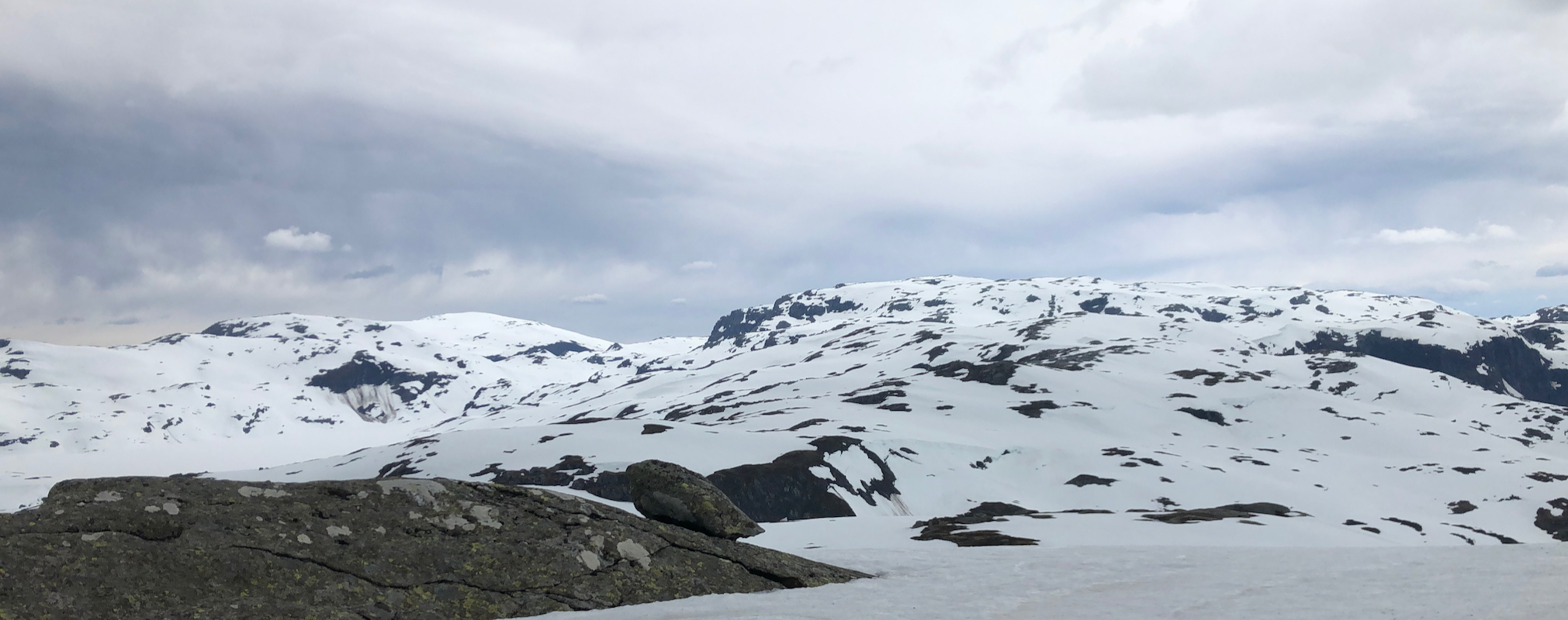
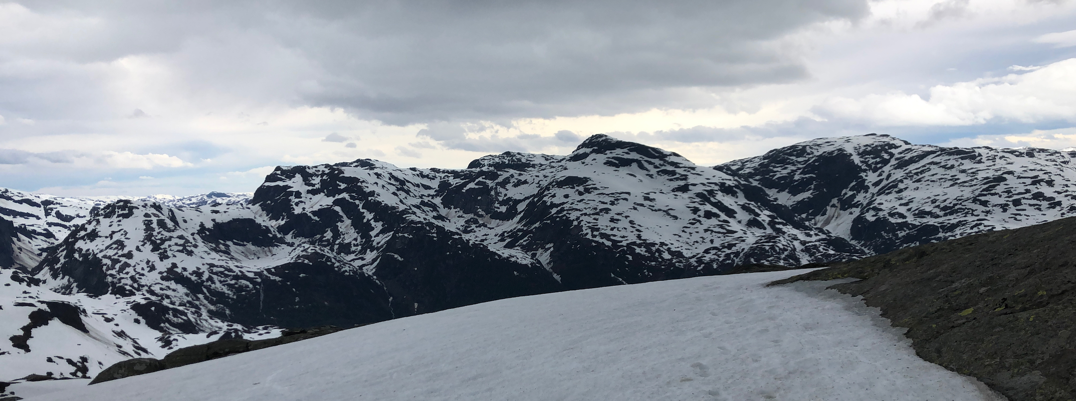
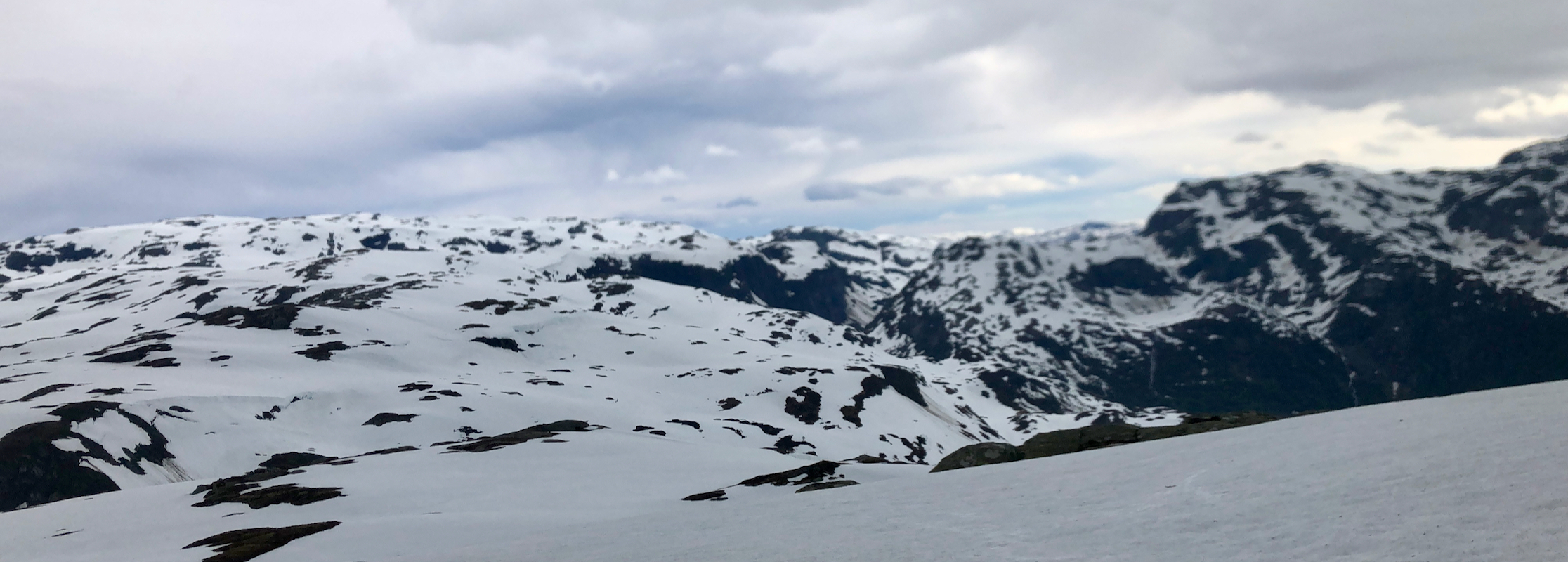
I left my car at 1135 and followed a nice trail uphill. On the higher slopes there
was still some snow fields, but they were nice for walking, supporting my weight well.
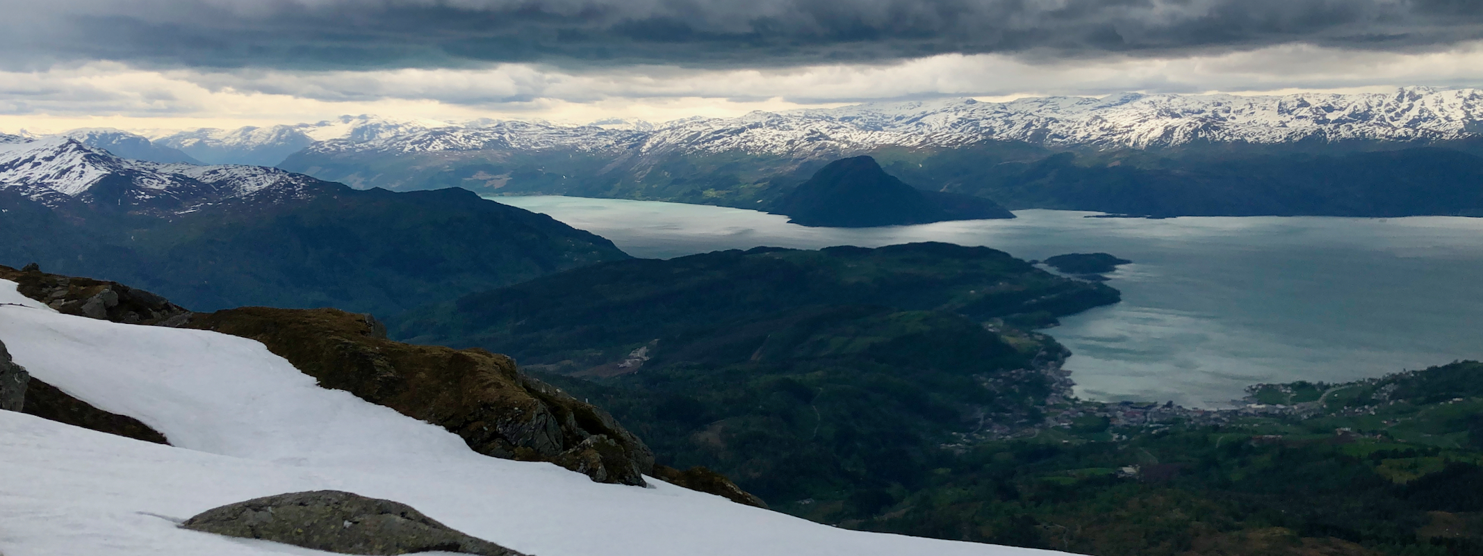
The wind was gusty and getting stronger as I ascended. I arrived at the summit at 1250, the
wind was now in the 25 m/s range, I needed full focus just to keep on my feet. A few pictures were
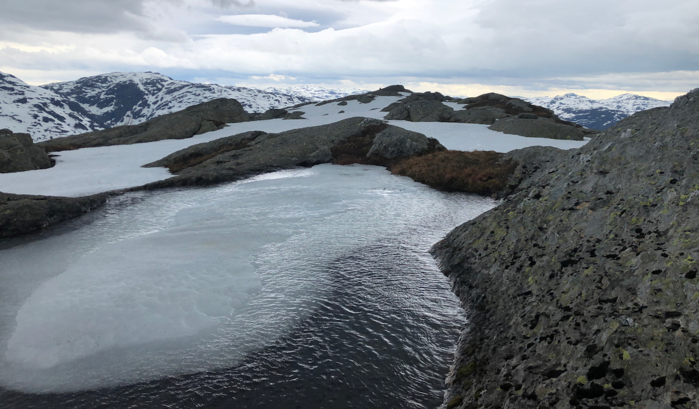
taken, next I walked along the summit ridge to the highest point at the opposite end.
Looking back, it seemed clear that the north-east end is indeed the highest.
Leaving at 1305, I made good use of the snow while descending. The wind turned more
reasonable as I got lower. Back at the car by 1355. A nice drive back home followed
by a hot sauna.