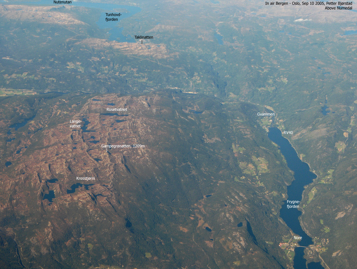
Taklinatten (Grytingfjellet)
- Taklinatten (Grytingfjellet)
- 1202 m.
- Primary factor 290 m.
- Buskerud, Norway
- Location: North 60.29949, East 008.92164 (GPS at the summit)
- Difficulty: (YDS) class 2.
- Climbed January 20. 2013.
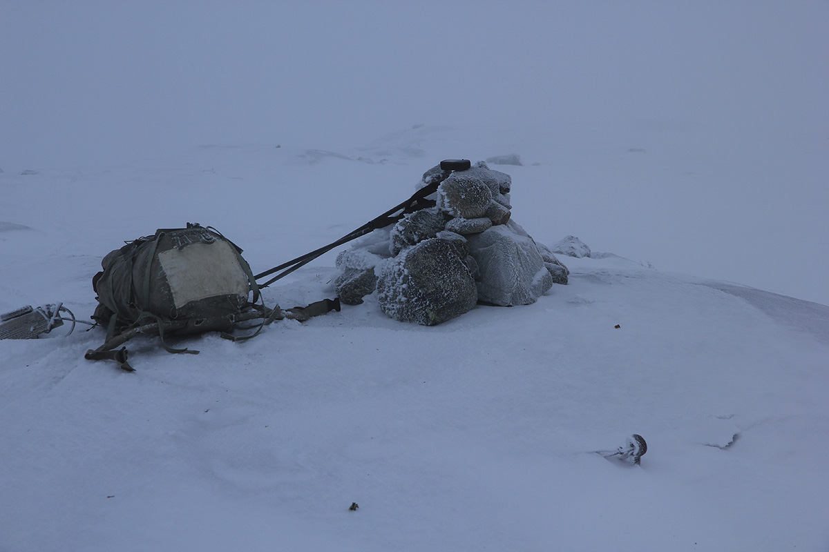
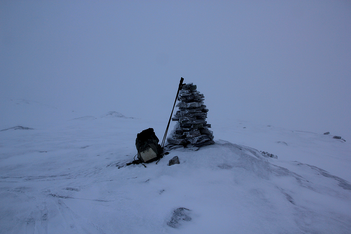
- PICS. will be posted later.

Taklinatten (Grytingfjellet)
|
|