How to get there:
First, drive to the historic town of Assisi. From here, find the uphill road
that starts from the uphill city gate. Drive this road, there are several quite
tight zig-zag turns. Just after a left curve, you will see what looks like parking
on your left, while the road makes another right curve. Do NOT curve right, rather
drive along the parked cars (left) to find a road that exits left. This is at location
N43.06289, E012.64855, elevation near 800 meter.
Continue along this road until you see parking on your left at location
N43.05685, E012.66869, elevation near 1260 meter. This is the trailhead.
Route:
A quick summary of the peaks climbed in Italy 2022.
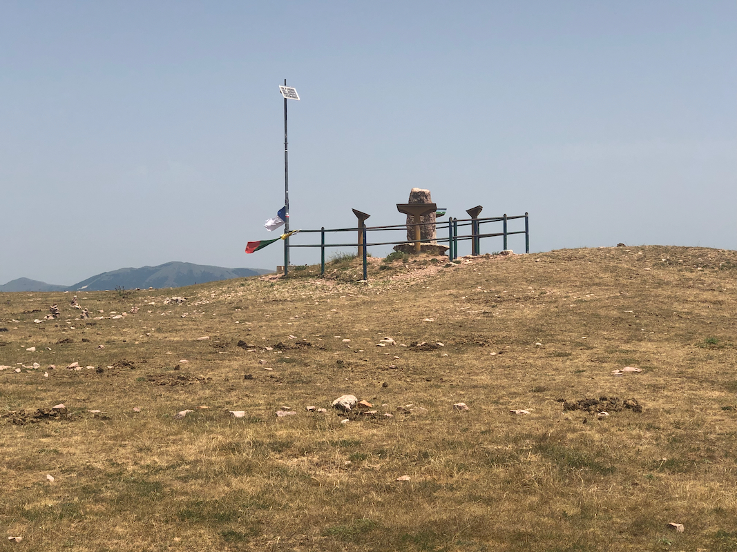
The route runs gently uphill and crosses through an opening in a farmers fence.
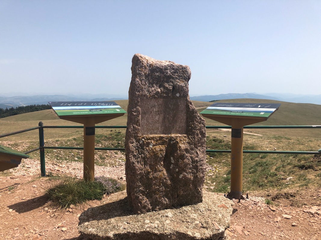
You will see the summit area about 100 meter ahead.
Comments:
We had some trouble finding this upper road. Driving around the left curve produceed
no progress wrt. getting near the summit. Returning to Assisi, Heidi proceeded to
visit the old historic town while I gave the summit a second try.
This time, I noticed the summit road and drove to the parking.
The ascent car to summit took about 4 minutes.
