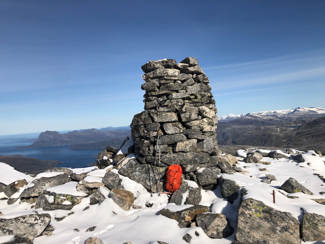
Location: North 66.39733, East 013.24665 (GPS on the summit)
Lurøy, Norway
Difficulty: (YDS) class 2
Climbed September 15. 2021.
Information:
How to get there:
A good point of reference is Mo i Rana.
Take Hwy. 810 west from Mo i Rana. When you meet Hwy 17, turn right
(direction Bodø). Continue on Hwy. 17 to Stokkv˚gen.
From Stokkv˚gen, continue another 11 kilometer along Hwy. 17, then look for
a smaller road that forks right and climbs uphill. This road serves lake Vassvatnet,
drive along this lake and find parking on your right just before a small bridge.
This location is N66.39143, E013.18221, elevation about 110 meter.
Route description:
Cross the bridge and continue along the road until just before the first
house. There is a big information sign on your left. Follow a small trail
marked with sticks, uphill just left of the house. Higher up, it may
be difficult to follow this trail. Bear right and ascent a large open field.
Near the upper end of this field there is a wooden reinforcement of the
sheep fence, that may be used to climb across. A clear trail starts
on the upper side of this fence. Follow this trail to the first lake.
The trail continues around this lake on the left. It climbs a bit before
hitting the upper side. A vague trail continues, descending slightly as
it finds its way to the south end of the middle lake. Next, one should climb
to the third lake. The direct line crosses a couple of areas with not so
good to walk rocks. It is likely better to ascend the hill south of the lake,
then contour left just under the cliffs. From here, one may traverse (left)
and gain the third lake. Continue ascending very gently towards the inner part
of the valley. Follow grassy areas as you gradually ascend the lower slopes of
Strandtindan. When you run out of grass continue uphill, then slightly right
on rocks until you gain the main south-east ridge. Follow this while staying
a bit to the left of the ridge line. There are spots without rocks. This will
lead easily to the summit. Comments:
I arrived at Mo i Rana by air from Bergen, Tuesday evening. A short drive
and hike and I was back
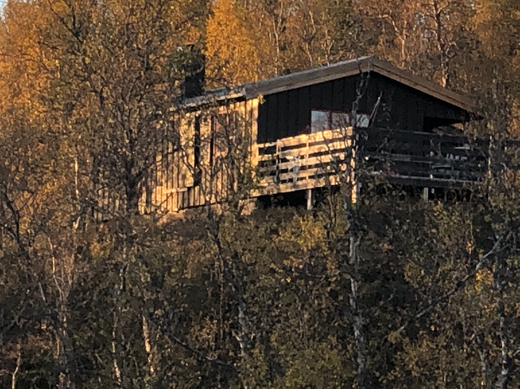
at Reinfjellhytta where I also spent some good
time skiing at the end of April.
I got up around 0630, breakfast with egg and bacon,
however no frying pan
anywhere? The day looked really good and I enjoyed the scenery while driving
to the trailhead.
I started walking at 0915, lost the trail, then recovered it at the reinforced
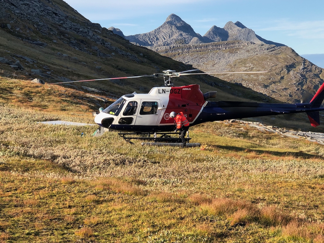
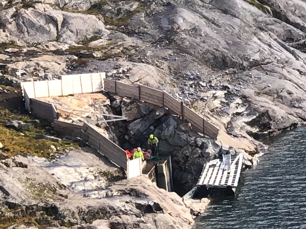
fence crossing. I soon noticed a helicopter
carry loads up towards the lower lake.
I made a small detour to give it a closer look, but it was not at all easy
to see what this project was all about.
Most likely, some small scale hydro
power project.
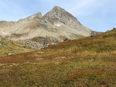
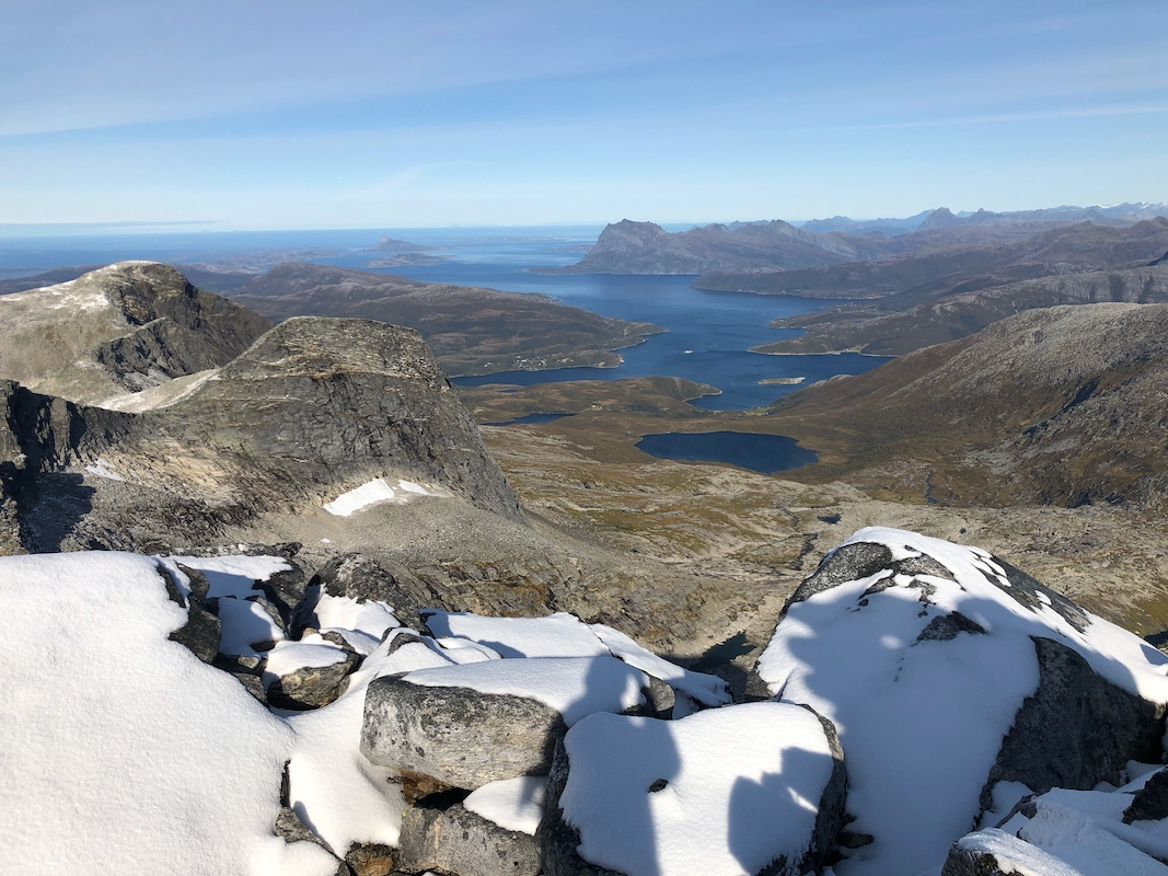
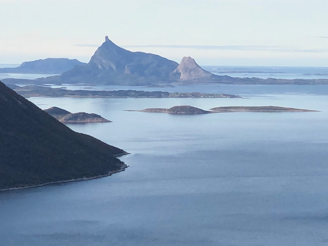
Strandtindan was looking good in the sunshine,
I looked across to Liatinden, the summits
certainly looked challenging from this angle of view.
I continued around the lake on a fairly good trail. Arriving at the
second lake, I was a bit undecided about how to proceed. A pretty big area with
boulders that looked uninviting. One could circumvent by climbing high, thn traverse
left. I decided to fight the boulders. This was not a great idea, slippery and
cumbersome. I decided to use the alternative on descent.
I continued up into the end of the valley and the foot of my peak. From here, I
first went uphill towards the summit, then curved right and gained the main ridge.
From here, the rocks were pretty decent and it worked well to
ascend somewhat left of this ridge. At the higher part of this climb, I ran into
fresh snow. I arrived at the summit at 1245.