How to get there:
Locate Hwy. E-39 going north from Grodås at the east end of lake Hornindalsvatnet towards
Volda. Immediately, at the north end of the long Kvivstunnellen, near lake Kalvassvatnet, exit north
and follow the signed road to Bjørke, a small community at the very south end of
Hjørundfjorden. Follow the small road that runs along the west side of the fjord, to the
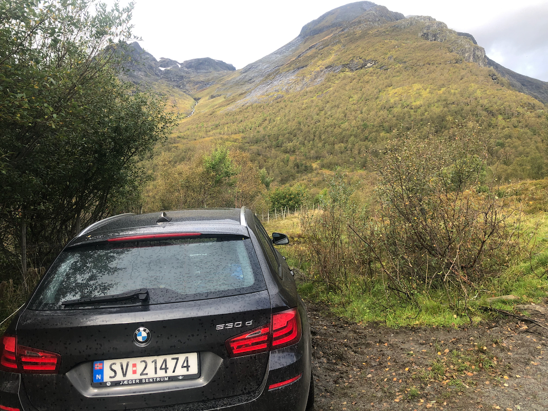
farm Finnes, where a forest road (sign for Bakkedalen), heads uphill. This farm is a self serve
toll road, pay (NOK 45, by SMS in 2023), and drive Bakkedalssætra north of lake Bakkedalsvatnet (364 m).
In spring, the road may be blocked by snow before you get this far.
If you get all the way to location N62.10370, E006.47155, elevation about 395 meter, that is as far as
one may drive.
Parking before this location is certainly ok and only adds some easy hiking to
the trip. Make certain that you do not block access when parking.
Note:
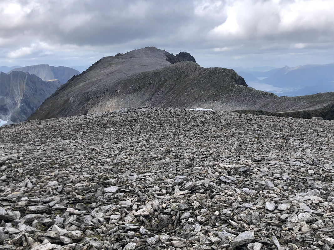
Until new laser (Lidar) measurements became available in 2020/2021, this
peak was believed to have prominence around 300m only, as Jolhornet was supposed to
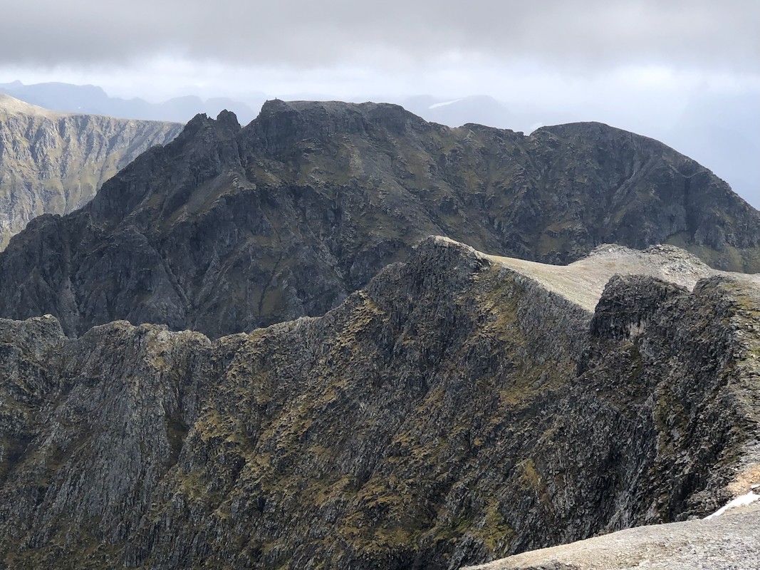
be higher than Storetinden located across the valley. However, recent and more
accurate measurements have Jolhornet at 1411m, while Storetinden is 1413m.
Route description:
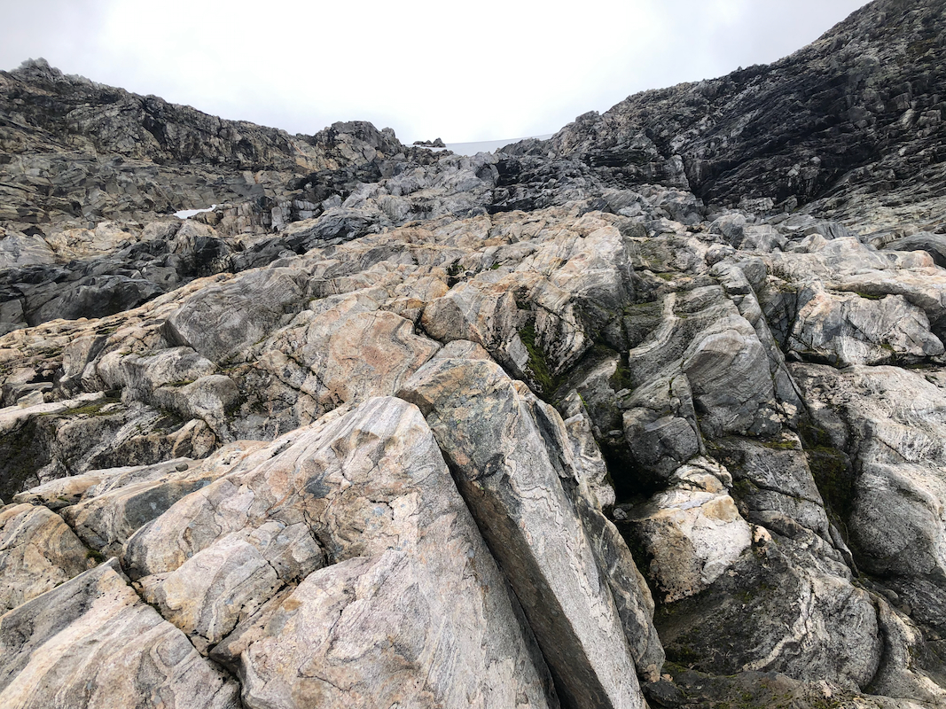
Head up the small and fairly steep valley that rises to the north-west. This valley tops
out at the key col between Storetinden and Jolhornet. Initially, ascend on the right hand side
of the creek, you need to cross a few pretty steepish gullys with smaller creeks coming down from your
right. The upper part of this route may
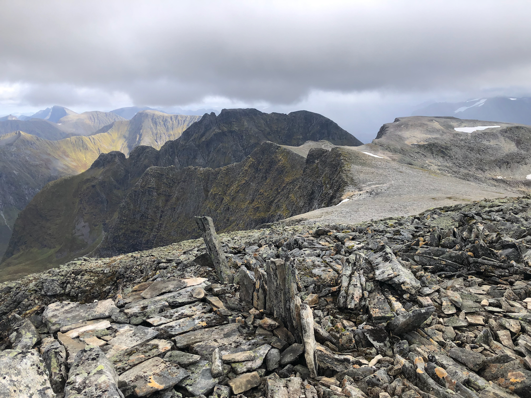
require some easy scrambling, keep left of the col and continue
uphill towards the higher, pretty broad saddle at 1260 meter. From here, ascend north (right) to about 1300 m
of elevation, then north-west to near 1350 m. Next, follow the left side of the main crest to the small col
down at 1300 meter of elevation, that separates Storetinden
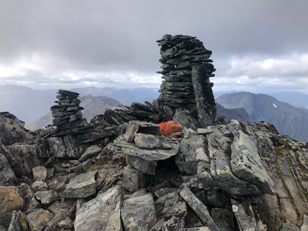
from the first part of this ridge. Continue to the
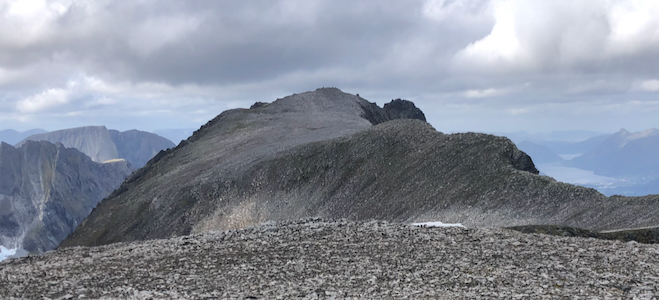
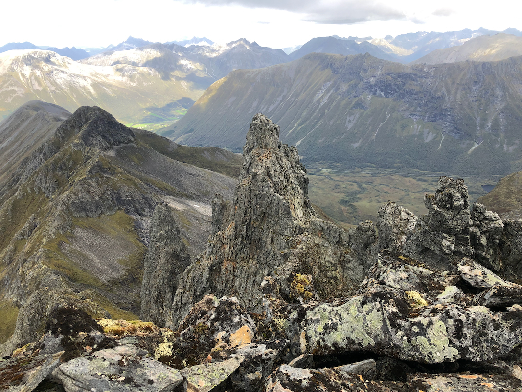
summit with a couple of cairns and a
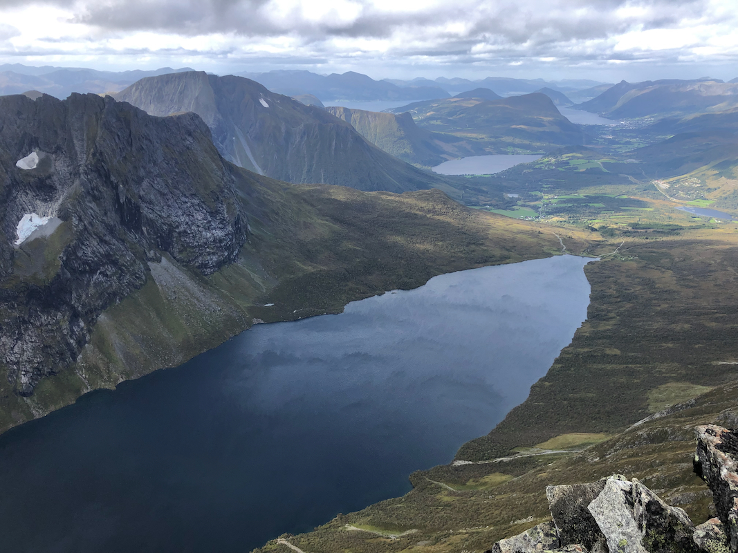
steep drop down to lake Kvanndalsvatnet almost 1000 meter below.
Comments:
This peak had been on my priority list ever since it was discovered that it was indeed the highest
mountain and that Jolhornet/Kvasshornet as seen from Storetinden,
previously believed to be more than 600 meter promient, in fact
was lower. Somehow, several years had passed without any good opportunity.
After a nice visit with my friend Arnt, it was now time to climb this peak and restore order to my
list of majoer mountains (prominenece exceeding 600 meter) in this area.
I started walking at 1020 and arrived at the summit by 1340. Nice views!
Very steep down to lake Kvanndalsvatnet.
I had a nice break and pretty good weather, stayed at the summit for 20 minutes.
Returning pretty much along the same route, I was back at 1655, so slightly less than 3 hours
on the return hike.
I spent the early evening driving to Romsdalen, a few more major mountains on my agenda.