How to get there:
Drive to Voss and locate Hwy. 5386 signed for Mjølfjell. This road forks left from Hwy. 13
shortly after you leave the central part of Voss behind. The road runs up the same
valley that also has the railroad.
Drive about 9 kilometer, you should see a valley going north (left). Turn left and then left
again in order to drive the small road serving Fagnastølen. Keep right at a fork
where the elft branch crosses a river (on a bridge). This last part is a toll road.
A sign has been posted, you are supposed to pay with Vipps. ( Mobile phone payment system.)
Keep right and as the road turns more left and descends slightly, find parking
on your right hand side at loction 60.69969, 6.58932, elevation near 512 meter.
Route description:
Backtrack slightly, then follow the road that ascends left, serving some
summer farm buildings a bit higher up. Continue along a forest road that continues
north-east climbing gently to about 650 meter of elevation. From here, zig-zag up
among birch trees, gradually moving a bit more north, until you break out
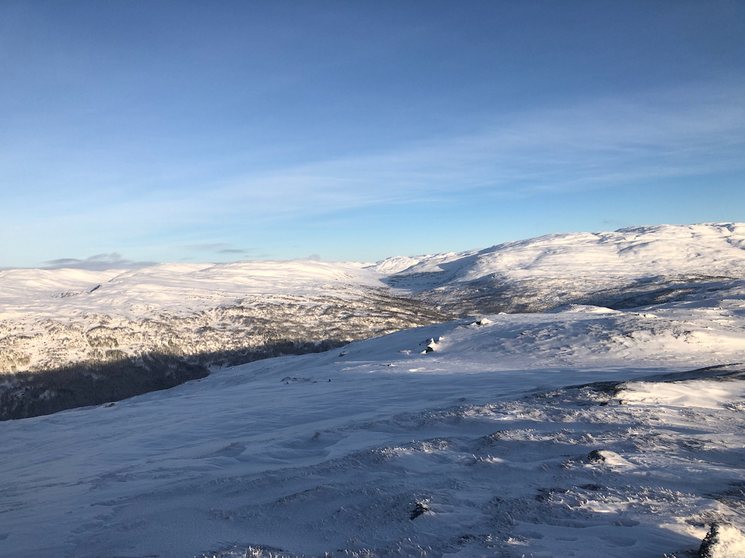
at the tree-line. Finally, continue uphill along easy slopes heading south to
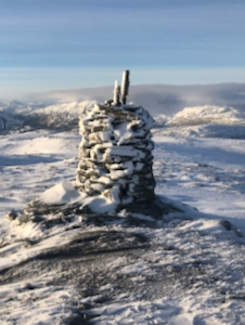
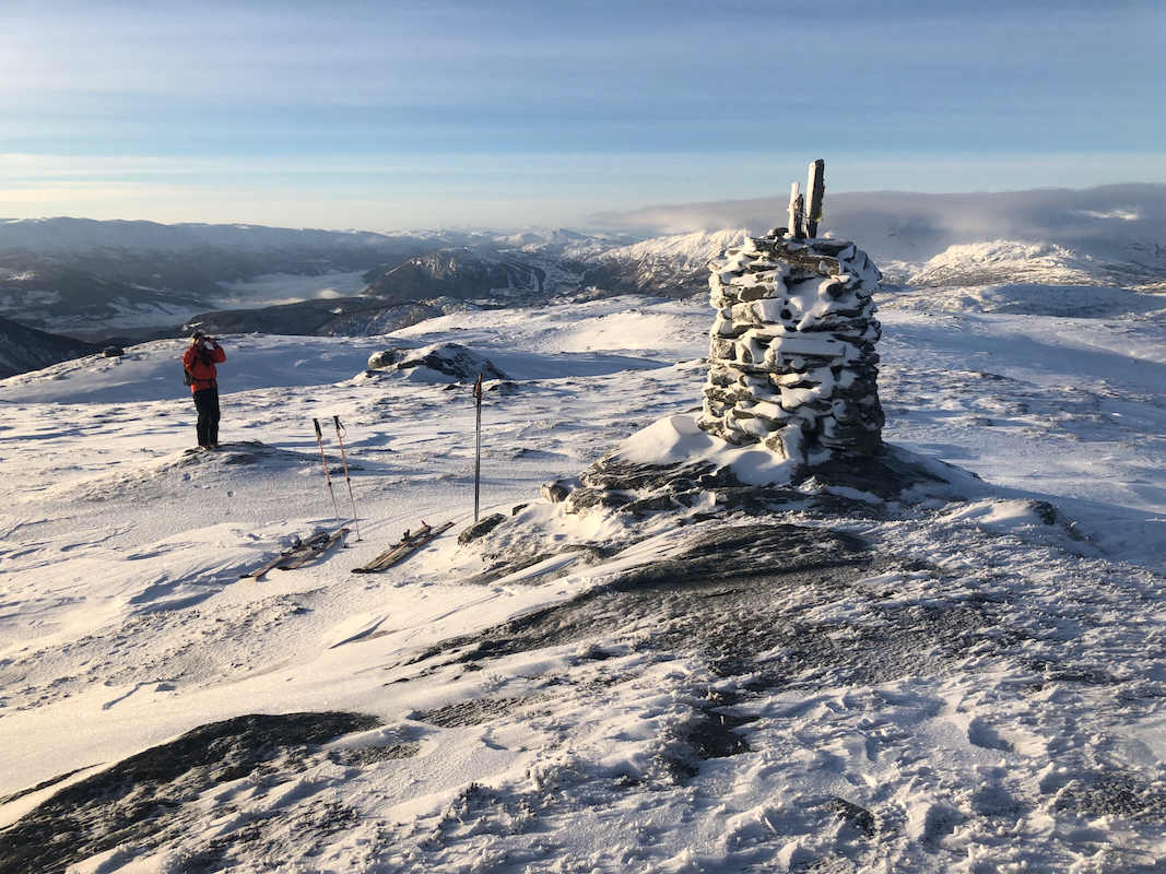
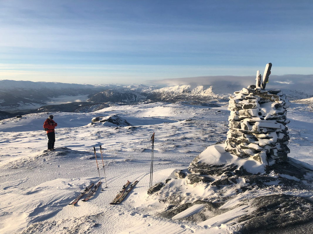
the summit. There is aa large summit cairn.
Comments:
I did this trip with my friend Eric.
We started out around 1025 and
reached the summit in about 2 hours.
The return ski suffered slightly from lack of snow.
We were back down in about 45 minutes.