Location: North 68.90859, East 018.33007 (GPS at the summit)
Difficulty: YDS class 2
Climbed August 28., 2020
Information:
How to get there:
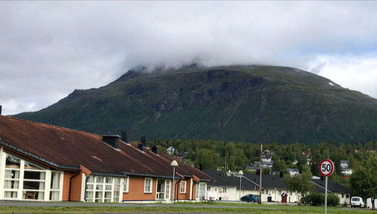
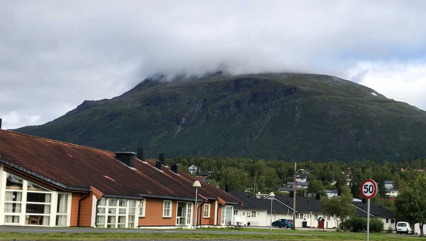
Locate the small town Setermoen on E-6 south of Bardufoss. Continue north
on E-6 from the center of Setermoen, about 3.5 kilometer. Look for a smaller
road that forks left. Take this road and drive about 2 kilometer where the
road is closed with a gate. There is parking on your right hand side. Park here,
this is the trailhead. Location N68.88852, E018.31795, elevation about
100 meter.
Route description:
Continue along the road beyond the gate. After about one kilometer, the trail
leaves the road on the right. There are good signs as well. Continue
along the well marked (red marks) trail as it approaches 500 meter of elevation.
There is a trailfork here, well signed, the right branch will climb Storala.
The trail is easy to follow, but some patches of talus are unavoidable. When the
trail cross about 1150 meter of elevation it stops climbing and traverses
south-east, while staying slightly below the local tops on your left side.
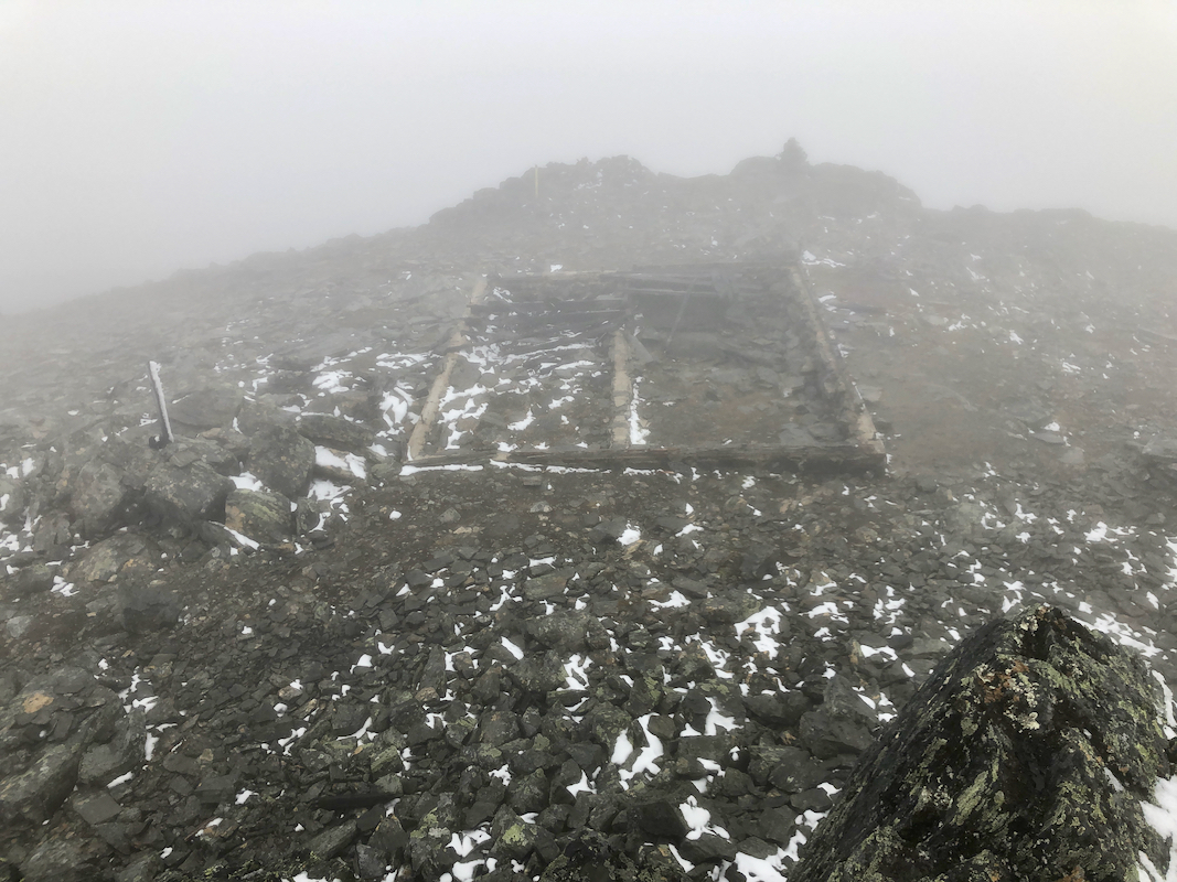
Finally, it climbs gently to reach a summit plateau with some old remains
of a building foundation.
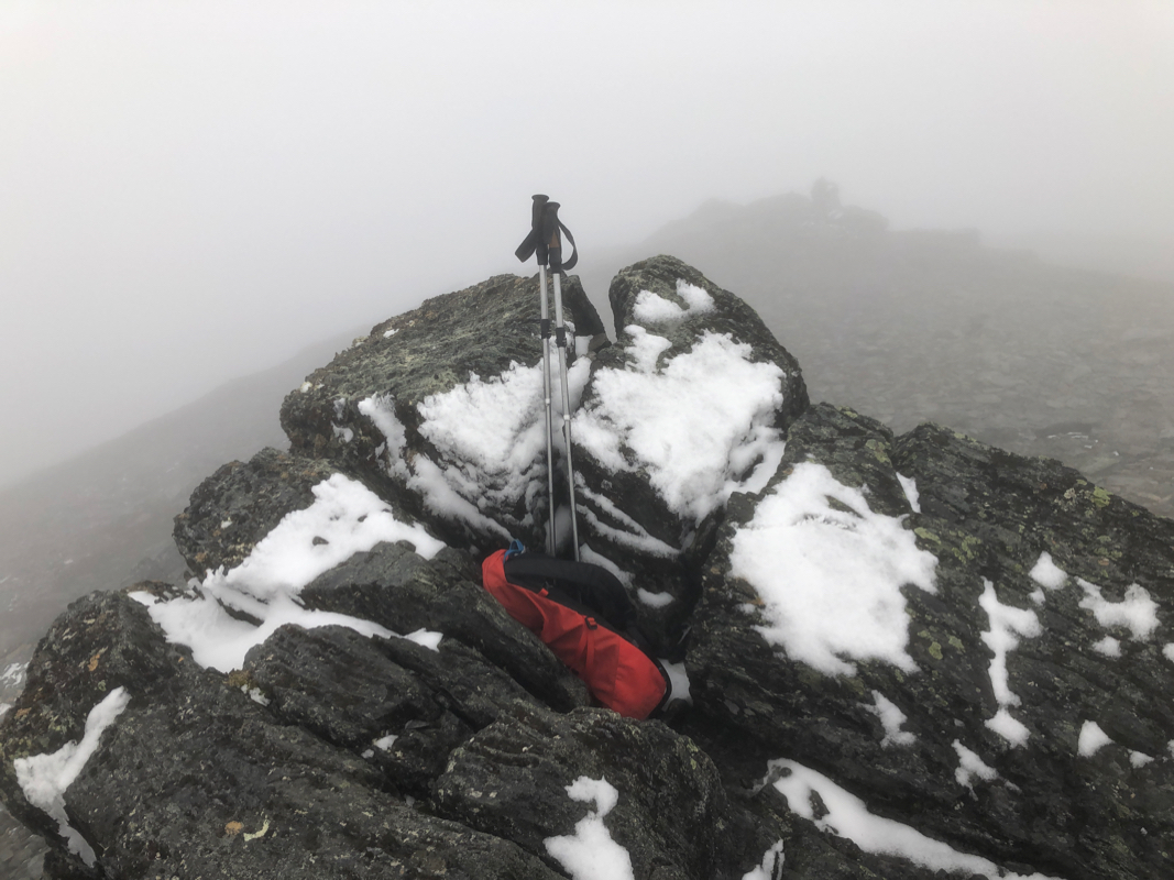
The highest point
is up on some slightly more
rugged rocks on your left.
Comments:
I travelled from Bergen via Oslo and the time was already 1400 when arriving in
the Evenes airport. I got my rental car, did some shopping in Bjerknes and arrived the
trailhead around 1545. I needed to change into hiking gear and got going at 1600.
A somewhat late start, but the dys are still pretty long this far north.
The hike was nice, a few wet spots as well as some slight drizzle, but overall
quite ok.
I met a couple that descended shortly
after the trail fork, and we talked about 5 minutes.
I arrived at the summit at 1815. No visibility up here, in a cloud.
A short rest as well as looking a bit around, then leaving at 1830.
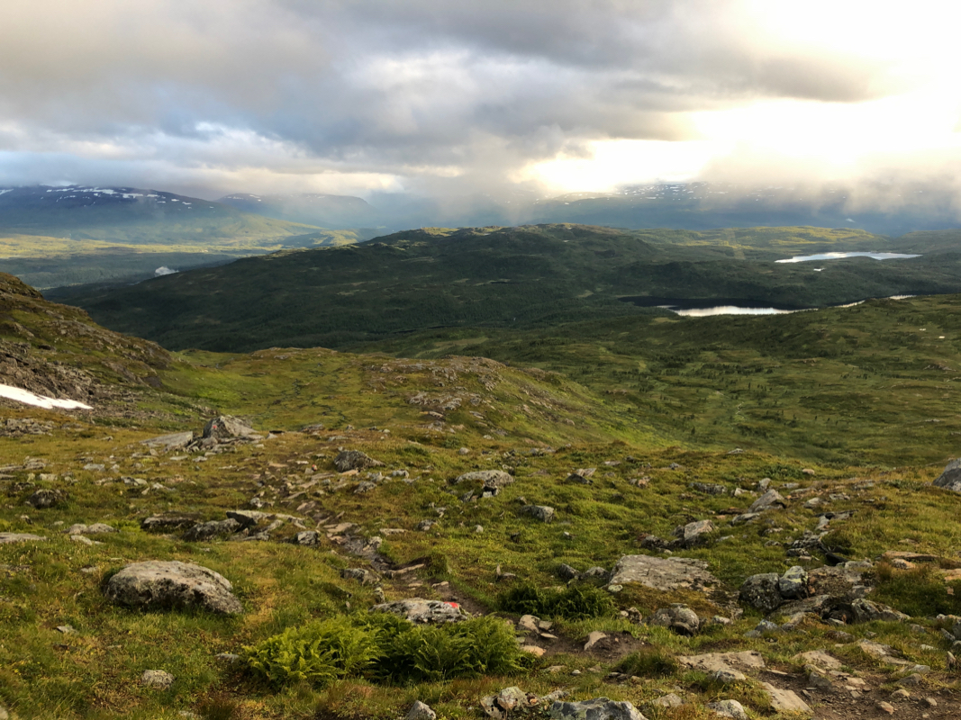
Easy descent, at theouds broke and I gad some nice,
early evening landscape views.
I was back to the car at 2010, so 1:40 down.