Monte Della Stella
- Monte Della Stella
- 1130 m.
- Primary factor 824 m.
- Italy
- Location: North 40.23690, East 015.06519 (GPS at the summit)
- Difficulty: (YDS) class 1.
- Climbed July 31. 2017.

Monte Della Stella
|
|
How to get there:
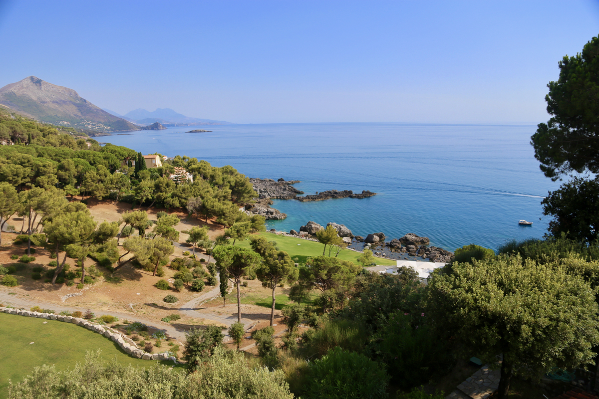
Locate Solerno at the coast a bit south of Napoli. Solerno is at the east end
of the famous Amalfi coast. Continue about 40 kilometer south to Agropoli.
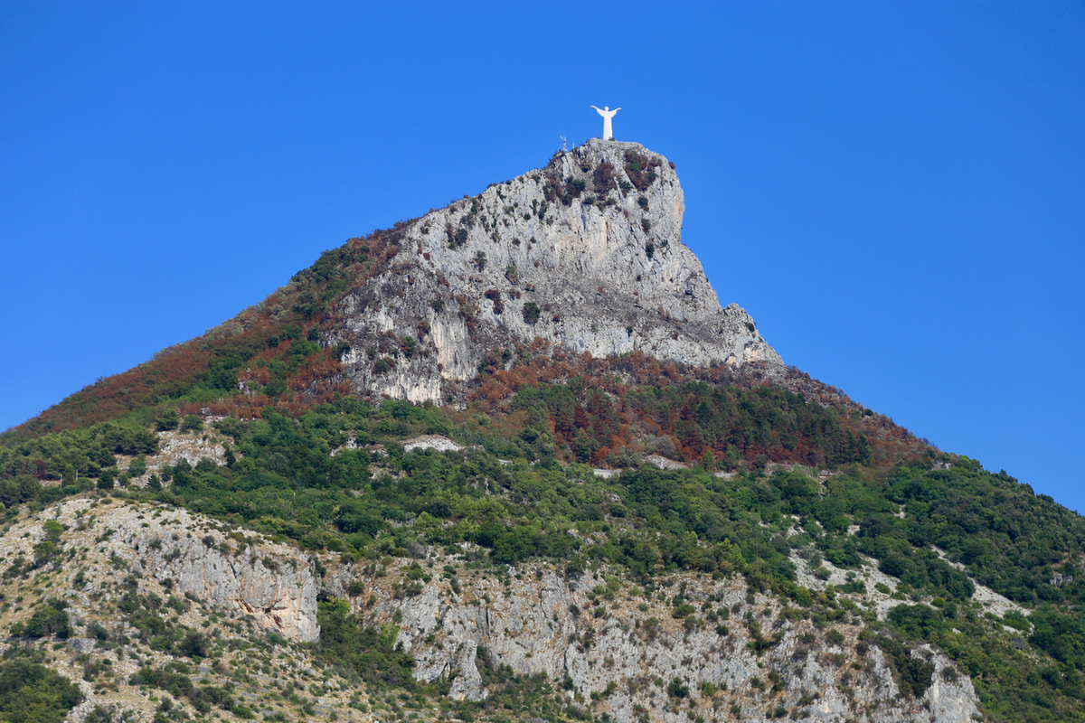
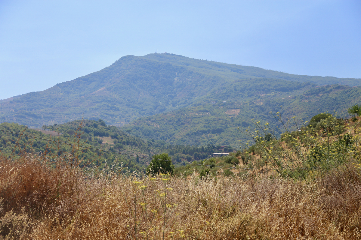
Continue a little south on Hwy. SP430, then exit onto SS18 (south). The peak is easy to
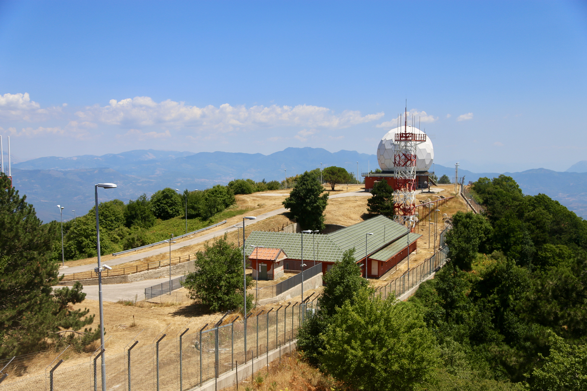
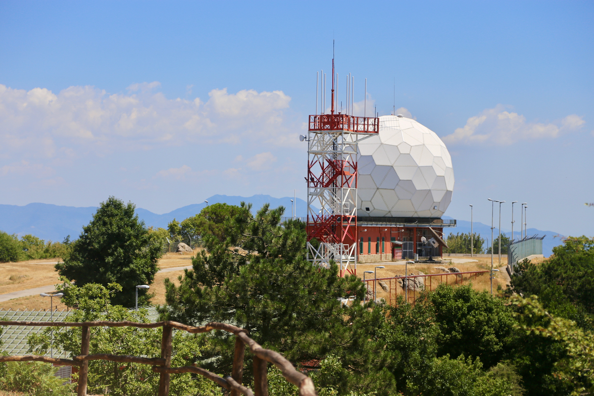
see due to the white radar dome that can be seen from a distance. Continue uphill on smaller
roads (SP46 then SP15B) to locate the beginning of the summit road at location N40.24750, E015.08087, elevation
about 610 meter.
Route description:
There is a paved road all the way to the top. There is a sign at the
turn-off, however, that normally means that it is prohibited to drive.
It is a bit unclear how to interpret this sign in Italy. I observed 2 cars
on the road while I was hiking. When arriving at (or near) the summit, the road forks.
The left fork serves the radar station, while the right
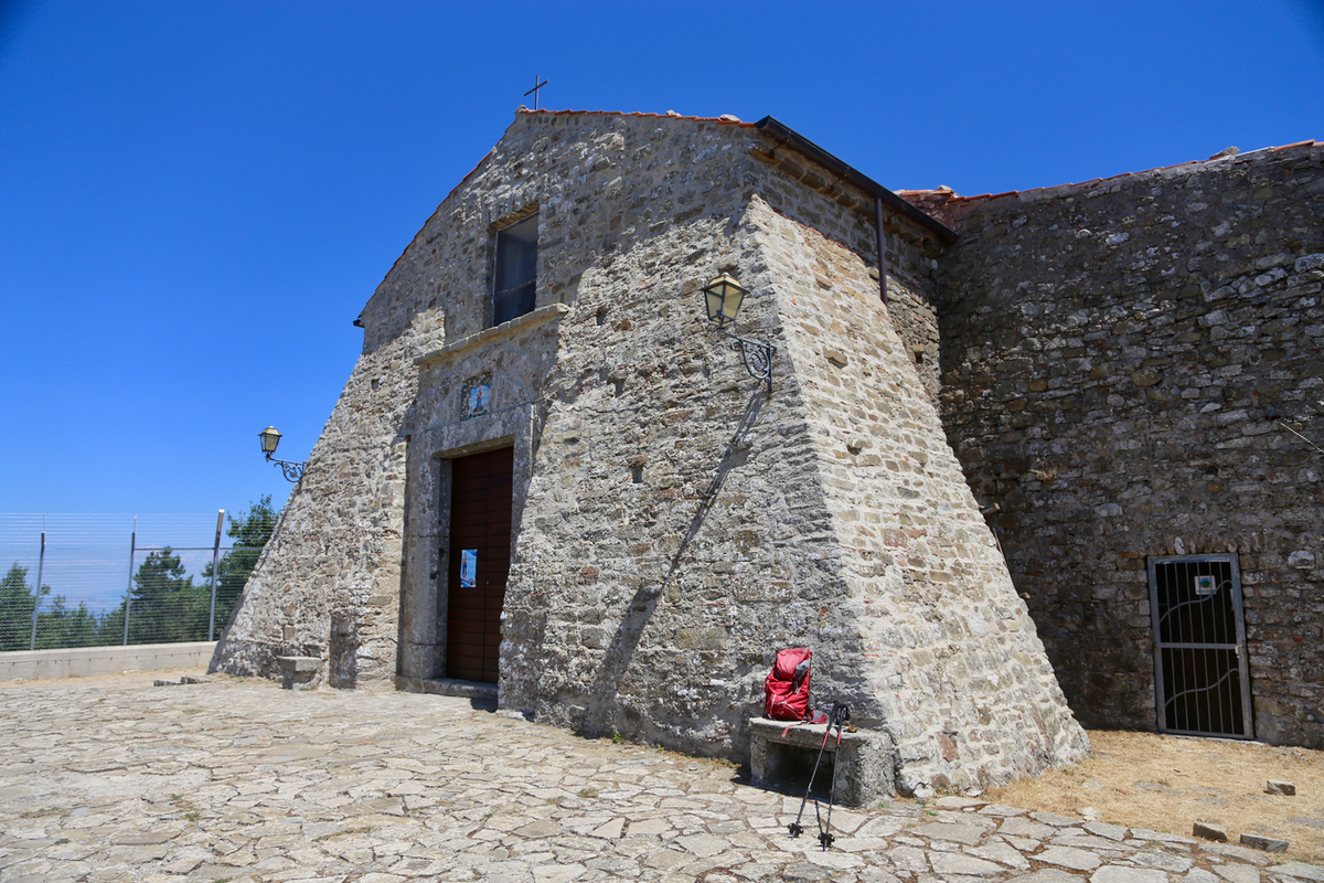
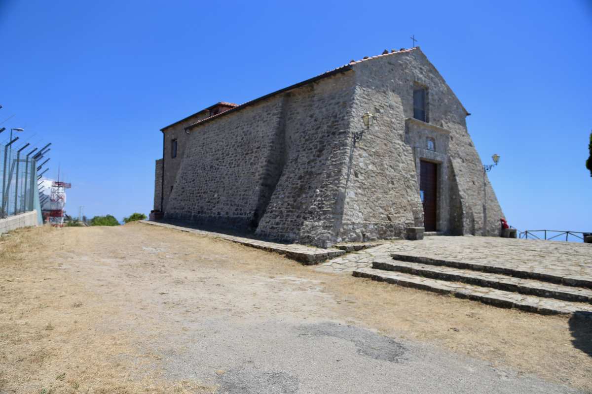
fork runs up to the old church.
The old church is located at the highest point of this mountain.
Comments:
We arrived at the bottom of the summit road around 1200, after a nice drive from
Positano where we had spent the 3 previous days.
The road sign indicated that one (probabely?) should not drive. We parked and while
Heidi walked downhill to visit the local village, I started out up the road at 1215.
The road was a bit longer than expected and I did not reach the summit before 1315, as
planned. I stopped by the old church at 1320,
so 1:05 up. It is indeed very nice
that they built the radar station slightly lower.
I guess someone claimed that the church
should be protected, after all, it most likely came long before the radar.
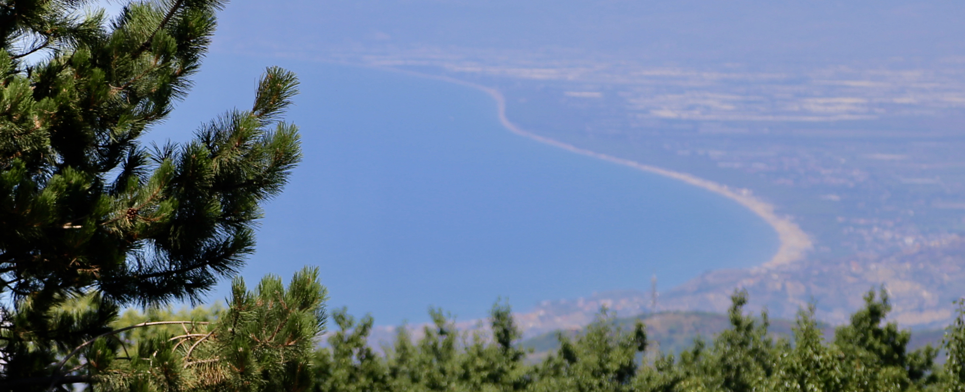
I took some pictures of the view as
well as of the radar and the church, then turned around
and started downhill at 1330. Walking on such a gently sloping road is not much faster down
than up, it took me 55 minutes to walk back down.
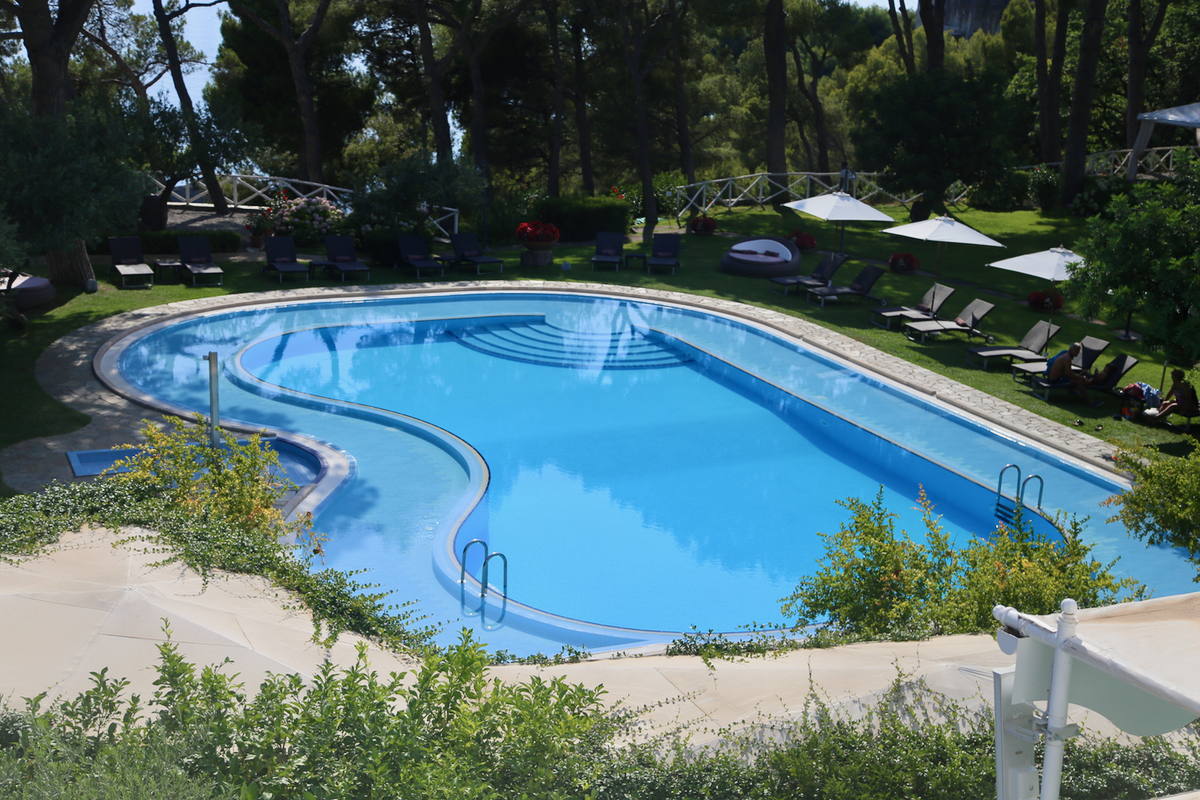
We next continued driving to our last hotel on this trip,
hotel Santavenere. enjoying the afternoon there
did quickly convince us that we would have
a nice stay the next 6 days.