How to get there:
Take E-39 north from Bergen. Turn right onto the road signed for Mo and Dale
at Romarheim. This is approximately 65 kilometer from Bergen.
Drive to Mo and continue into Modalen valley, note that you should go straight
where the road to Dale forks right and subsequently enters a long tunnel.
That is DO NOT enter this tunnel.
Continue up Modalen, but fork right on a road signed for Nygard. This is just before
the long lake Steinslandsvatnet. If you get to this lake, you have driven past the
exit.
Drive this road about 1.7 kilometer and locate a smaller forest road that forks directly
right. Drive this (good road) up to a sharp left curve with parking on your right. You will
also see a sign for the trail to Tveradalsstølen here. This location is
N60.85955, E006.00631, elevation about 490 meter.
Route description:
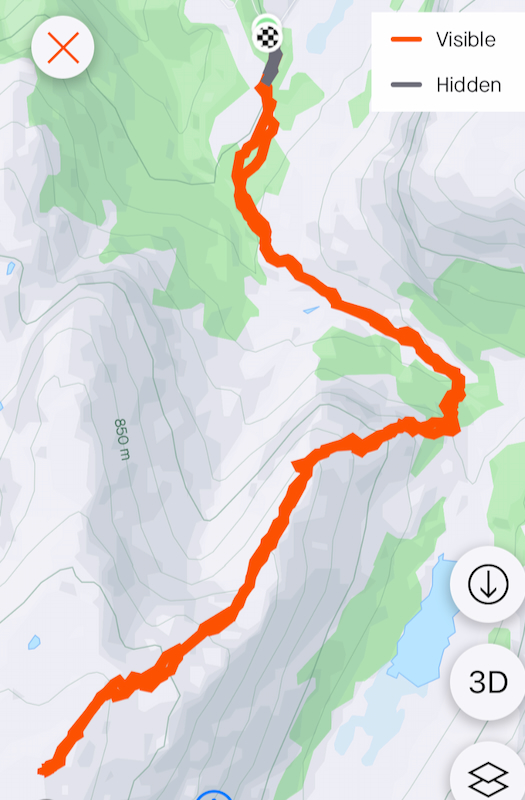
Follow the trail 0.9 kilometer to Tveradalsstølen. Continue to foillow
the trail (no marking) into the valley about another 500 meter. You should pass
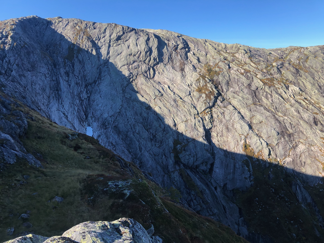
the small dam, then continue towards a small waterfall. Cross the creek before
the waterfall and ascend the north-east ridge. It is easy up along the right hand side, then
onto the main ridge as it gets better defined.
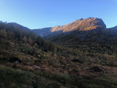
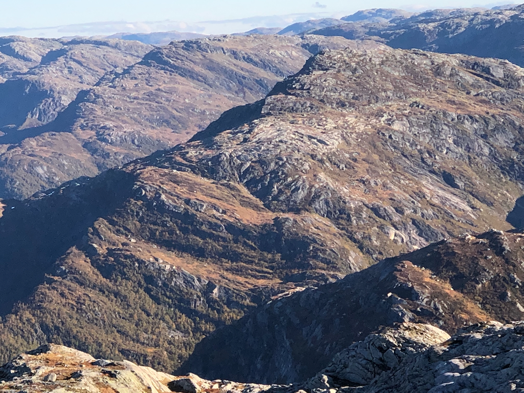
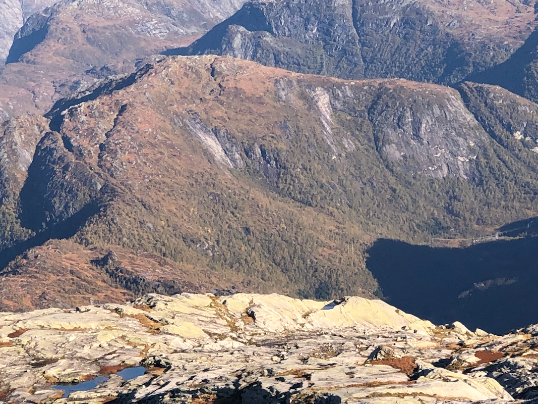
You have an impressive valley/bowl
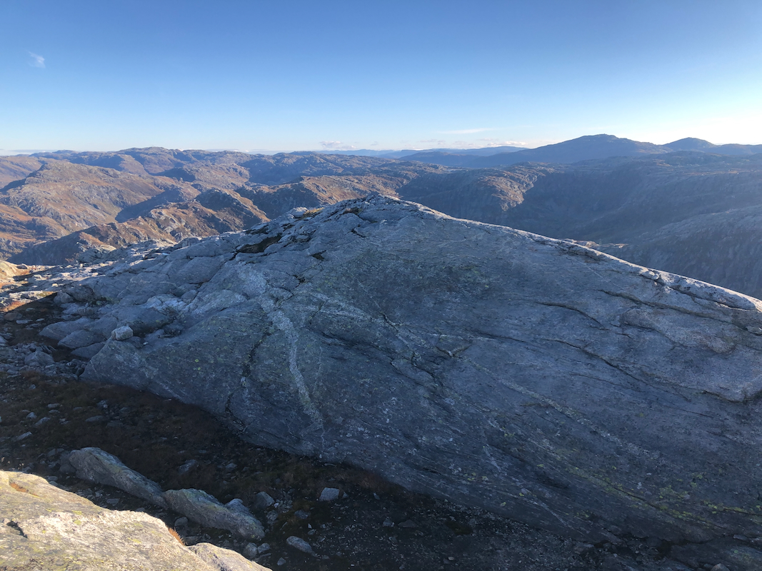
on your right. Continue uphill to the summit.
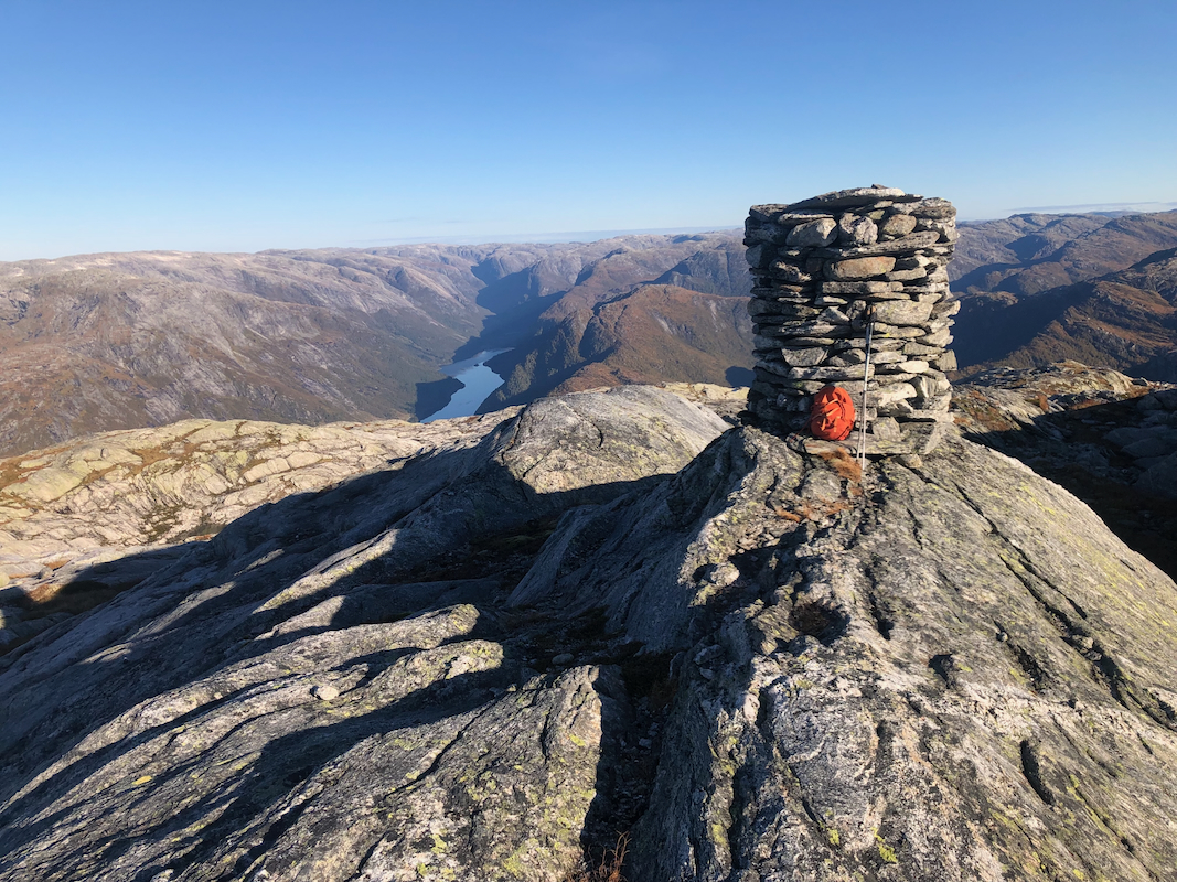
There are two summit points, quite
close together. The cairn is
likely on slightly lower ground.
Comments:
The forecast for this Thursday was excellent and Sørskarfjellet had been on
a priority list for some time. I left Bergen at 0645 and had a nice drive to Modalen.
Leaving my car at 0845, the climb required 1 hour and 40 minutes at a pretty leisurely
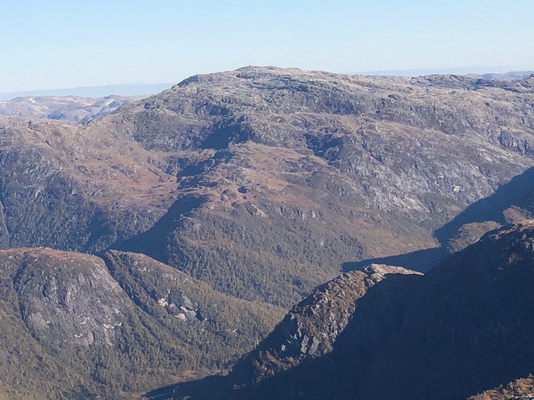
pace. The ridge was quite nice all the way. Good views from the summit. I used the
opportunity to look across to Blånipa
and Storfjellet, planned for ski ascents
in February.
After about 10 minutes, I descended the same way, arriving back at my car around 12 - noon.
I next drove up to Nygard in order to check out more details ahead of the planned
skiing in February next year.