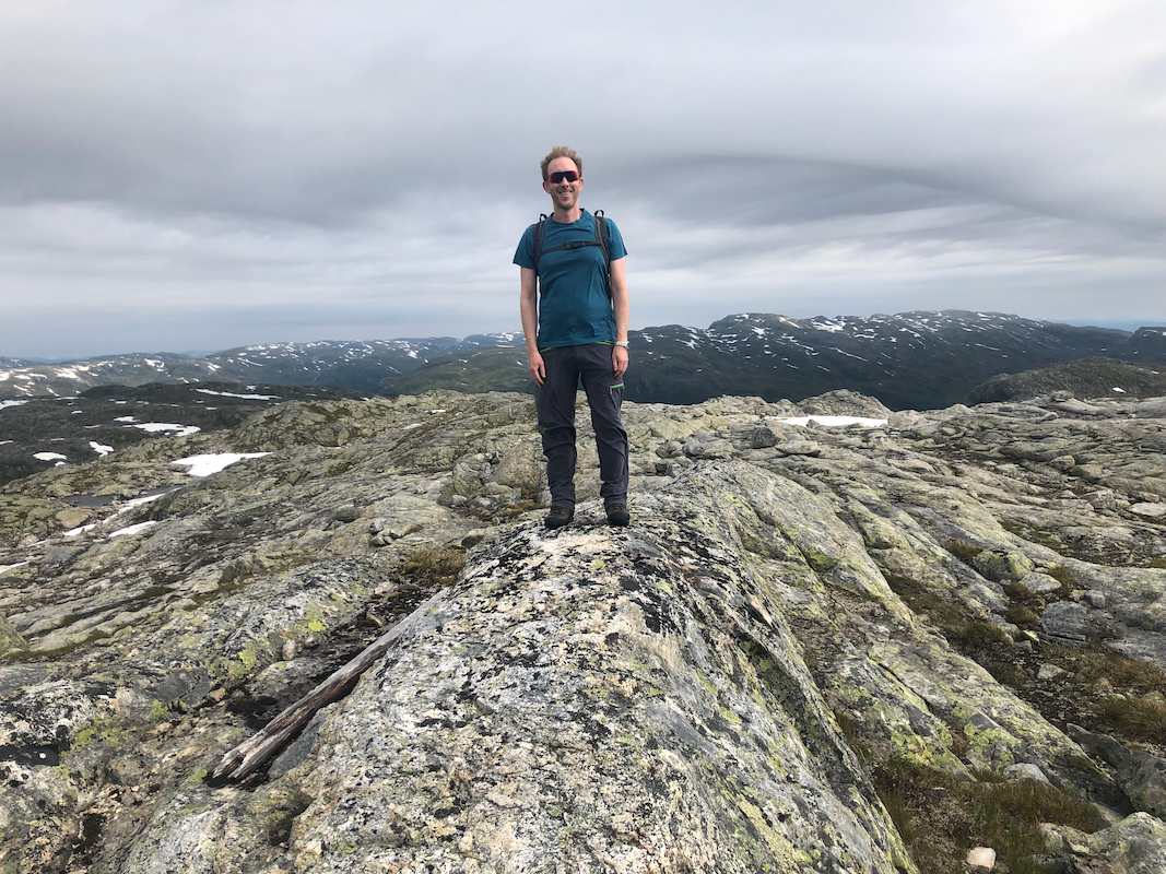
Location: North 60.93597, East 006.13056 (GPS on the summit)
Hordaland, Norway
Difficulty: (YDS) class 2
Climbed July 19. 2022
Information:
How to get there:
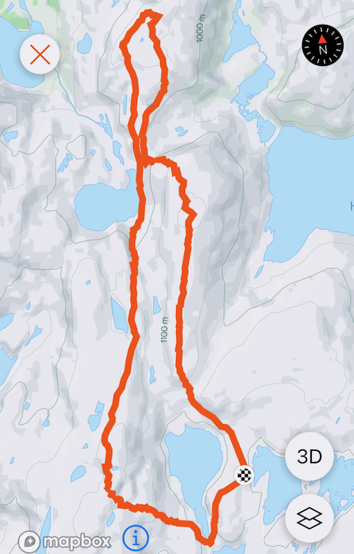
Drive E-16 from Bergen to Evanger. Fork left here and drive the very
scenic road up the valley and across the mountains to Nesheim in Eksingedalen.
Turn right and drive about 5 kilometer to Trefall. Take the pretty nice gravel road
that forks left here and gives easy access to the mountain area. This road was
built to facilitate the hydro power production system.
Find parking on the north-east side of lake Gavlavatn.
This road may be blocked by snow until very late in the summer, but one can normally
get quite a long distance already in July.
Route description:
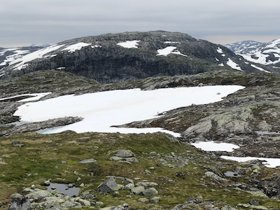
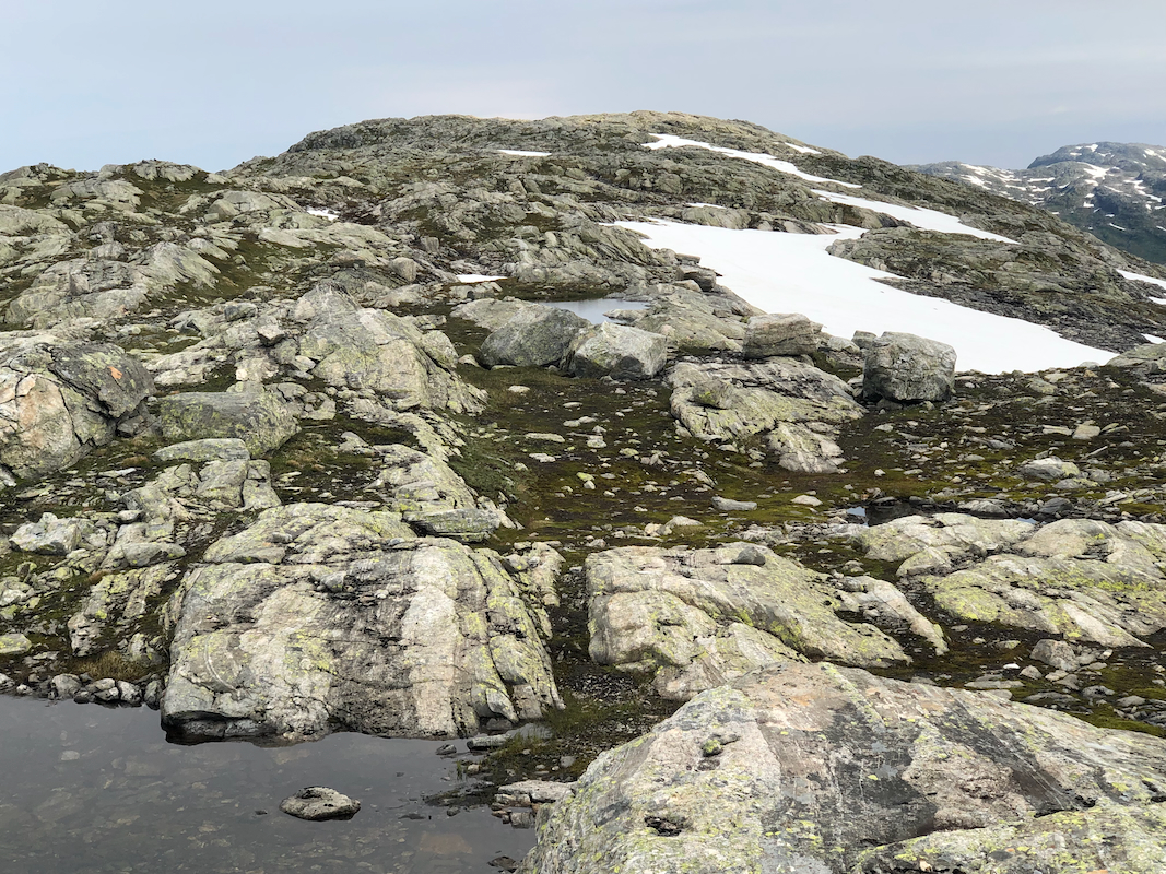
Walk to the north end of the long south ridge
extending from
the summit. The road makes a sharp right bend here. Continue
up the ridge to the summit.
Note that there are 2 competing summit points.
The northernmost point is slightly higher.
Comments:
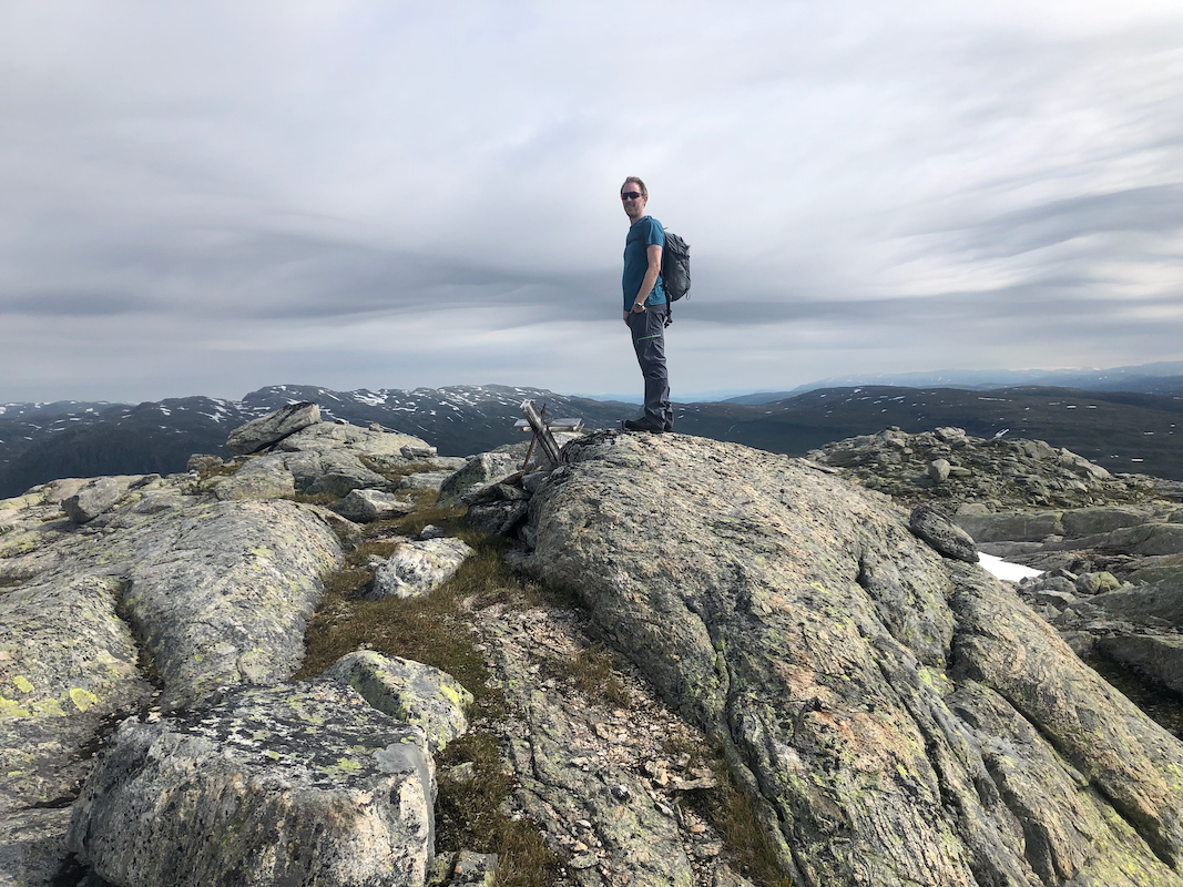
I did this hike with my friend
Harald Barsnes. We parked about one kilometer from the
road bend since a large snow bank blocked the road here.
We were at the top in slightly less than one hour.
We next proceeded to climb Hornafjellet.