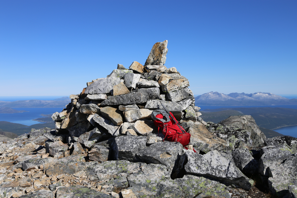
Location: North 69.88957, East 019.33396 (GPS on the summit)
Troms, Norway
Difficulty: (YDS) class 3
Climbed August 15. 2015
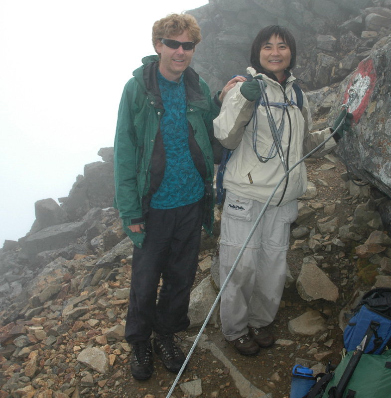
Climb dedicated to Edward Earl
Information:
How to get there:
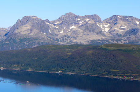
This mountain is the highest point on the island Ringvassøya.
From Tromsø drive past the airport, then across the bridge to Kvaløya and
turn right. Follow the highway along the coast. It will enter a sub-sea tunnel that connects
to Ringvassøya. Continue along the coast towards Hansnes. Before you get there, fork left
onto the road that runs to Dåfjord. Make a left at the next road fork, where Dåfjord is
right. The road now first descends to some small lakes, then the road again climbs very gently
uphill. First, you pass a pretty large parking area on the left, a few hundred meter onwards there
is a small turnout on the left hand side. This location is N69.94553, E019.29671, elevation about
170 meter. This is the trailhead.
Note:
There are alternatives and most likely easier access to this mountain. The easiest route
is likely to hike in Bjørnskardalen, then to the lake Tredjevatnet and ascend from
there, see more details below.
Route description:
From the trailhead, the trail runs downhill. There is a sign right at the start.
After a bit, you cross the creek, easy on many stepping stones. Then along the left side of
the river to the end of lake Soltindvatn. The trail, now a typical fisherman's trail runs very
close to the lake, first a bit west of south, then more south. Continue until the vegetation along the
lake is about to end, near a medium sized creek that enters the lake. Leave the trail (and the lake) here,
head south in very nice, open terrain. First, gently uphill, later gently downhill as you arrive on the
west side of lake Fiskelausvatn (lake without fish). You will see a grassy hill up front that should be ascended
going slightly left in order to reach the top near a point where it connects to the steeper ridge going up
to the left. However, first you must cross the river that rruns down the slope on your left and into the small lake.
The crossing is easy, but you will get wet, no stepping stones and much too wide to jump across.
Once on top of the first slope, continue ascending in steeper terrain, up the ridge, stay as far left as
is feasible. You may run into easy scramblinng here, (YDS) class 3. Crossing a small, local top, the ridge becomes wide and
horizontal, then a very gentle ascent all the way to a big cairn at point 988. Talus all the way, but
fairly easy to walk.
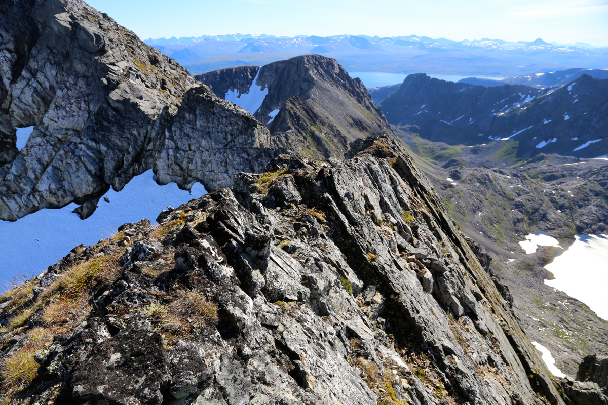
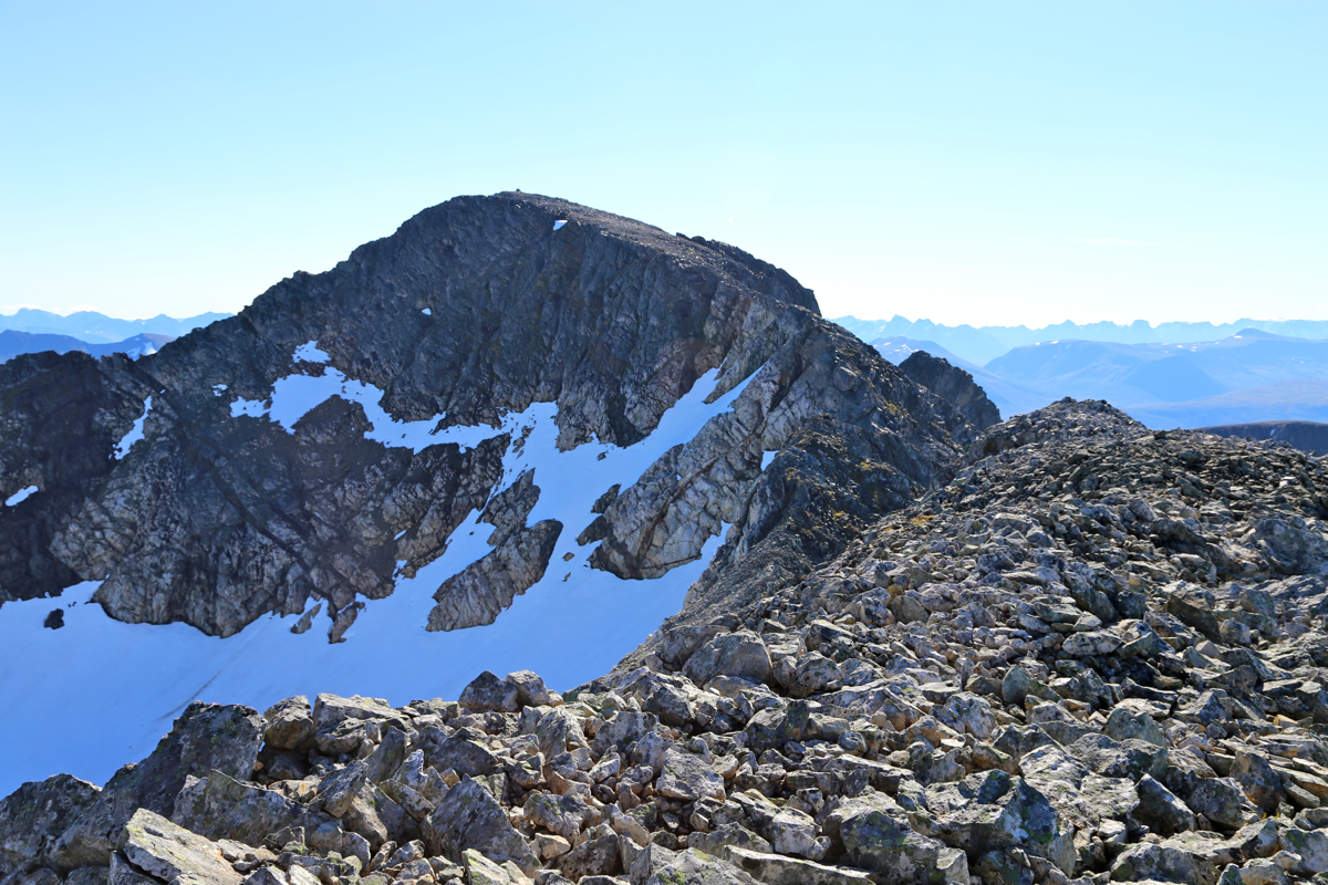
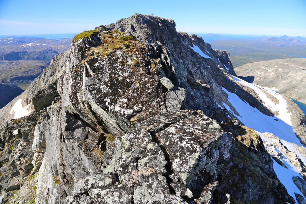
From here, you see the cairn on the main summit not very far away, but across a fairly complex ridge.
With good conditions and dry rock, one may be able to traverse this ridge while staying on the top of
the ridge essentially all the way, this is (YDS) class 4. However, when wet, the ridge may be too slippery
and unsafe to traverse, at least as a single (solo) climber.
One may circumvent the most difficult points on the right hand side. One section is quite
narrow, but horizontal and quite easy to traverse along the top.
Near the lowest point on the ridge
one can traverse quite a bit below on the right side. You will then cross a distinct gully that clearly
runs all the way to the top of the ridge. If you ascend here, you need to cross some slanted slabs
of rock that may be slippery when wet (Åke's route). If you skip this gully and traverse further
along, then you will see significantly easier terrain above you. Climb up here, the terrain is easier
the higher you get. Soon, you will be back at the main ridge-line, a short stretch of easy walking
remains before you reach the cairn.
Comments:
Today, August 15th. 2015, is the
funeral of Edward Earl, a friend with
whom I climbed several peaks in
the arctic part of Norway and Sweden. We attempted Store Lenangstinden twice, succeeding on our
second try in a very memorable 18 hour midnight sun climb. Edward died while crossing a river in Alaska
on June 19th., he was 51 years old.
I decided to travel back to the same area, the forecast called for great weather. I would make a long
hike, climbing the highest mountain on Ringvassøya, 1051 meter, one of the 85 Ribus mountains
in Norway. (A Ribus is a mountain with at least 1000 meter of prominence.)
I drove to the turnout before the trailhead pretty late in the evening
on August 14th., then slept in the car.
I started out at 0640, crossed the big bridge and expected to find a trail leading to
Soltindvatnet. This turned out to be wrong, the bridge seems to only serve a popular place
to camp at the other side. There is a local lake here and I
would now walk on its left side.
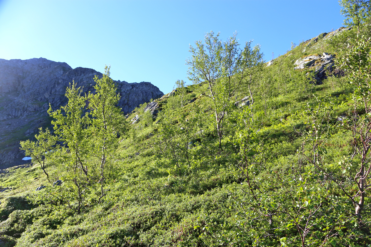
I bush-walked across in the correct direction and hit the trail going
parallel to the river, just before the lake. It was a beautiful morning, this was indeed
going to be a fine, long memorial hike for Edward.
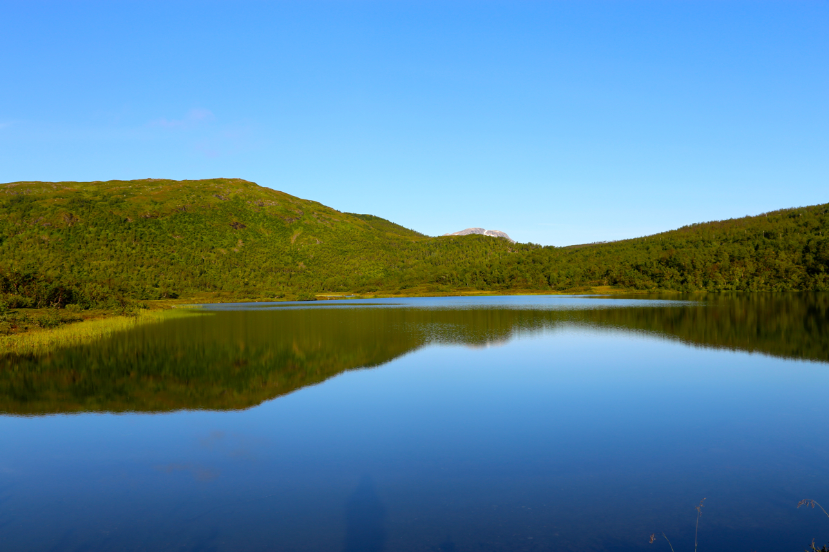
I walked along the shore of Soltindvatnet on what
was certainly a fisherman's trail. Still, this trail
was certainly better than no trail. I looked at a mountain
on the far side of the lake,
wondering if this could be my goal, fortunately, Soltindan was out of view, but much closer.
Before long, I came to the creek where my route should
turn away from the lake. Easy walking,
good terrain an abundance of cloudberries
- nature showed
its best side.
Ptarmigans would suddenly take to their wings as I came close, always a slight surprise
as there is little advance warning.
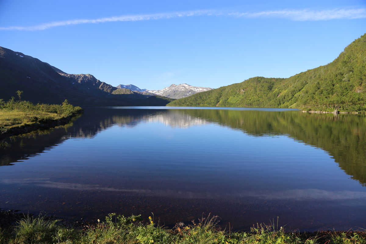
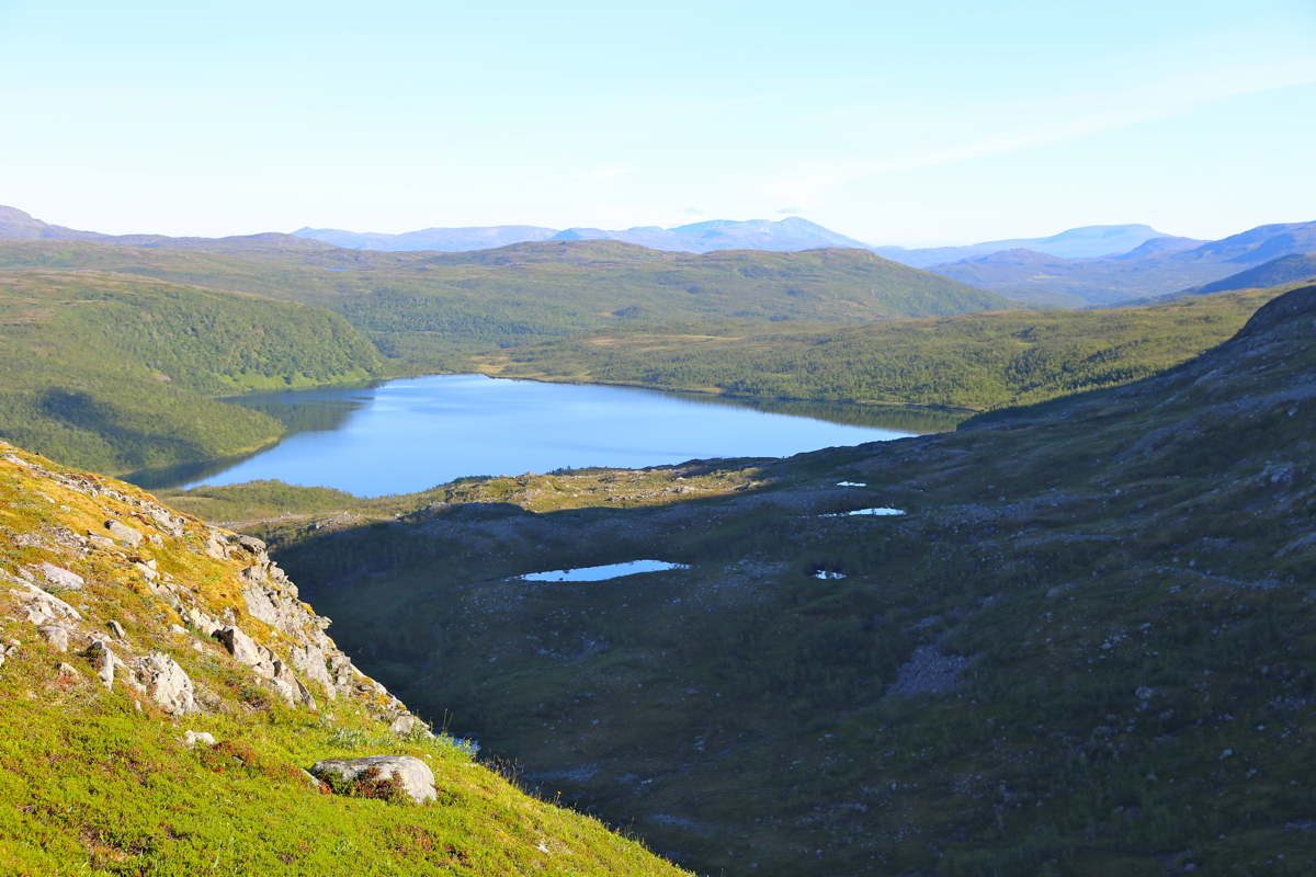
Sooner than expected, I came to the area next to lake Fiskelausvatnet
(the name means lake without fish).
Here, a pretty large river from the small
glacier higher up, must be crossed. Nothing like a roaring
river in Alaska, but certainly swift and deep enough that one gets wet. I walked across with
socks and boots, thinking that wet feet was a very minor inconvenience on such a nice day. The first hill was full of grass and
easy to ascend, next came a steeper section with a need
to look and decide on where to go.
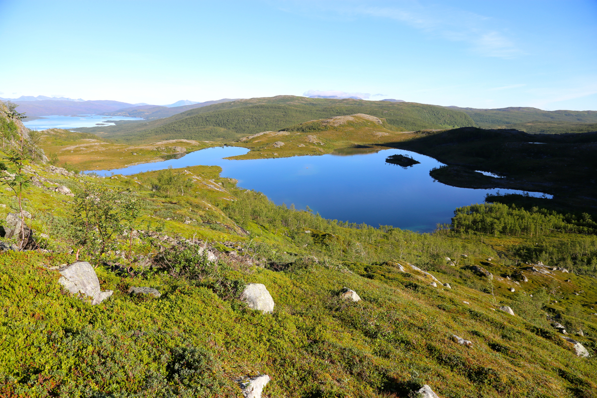
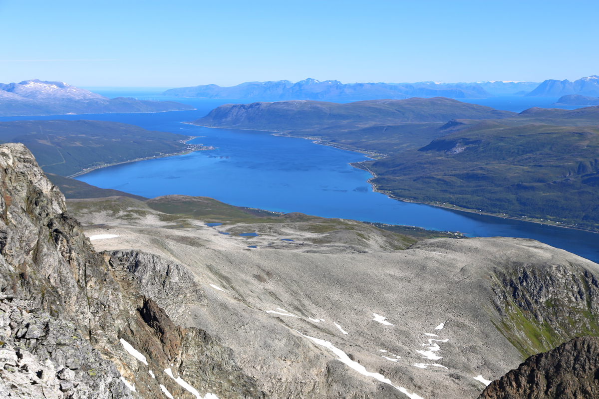
The view back down to Soltindvatnet was already quite nice.
Easy class 3, the type of terrain that Edward would like,
you need to pick your way and the character of the light scrambling depended on your previous
decisions.
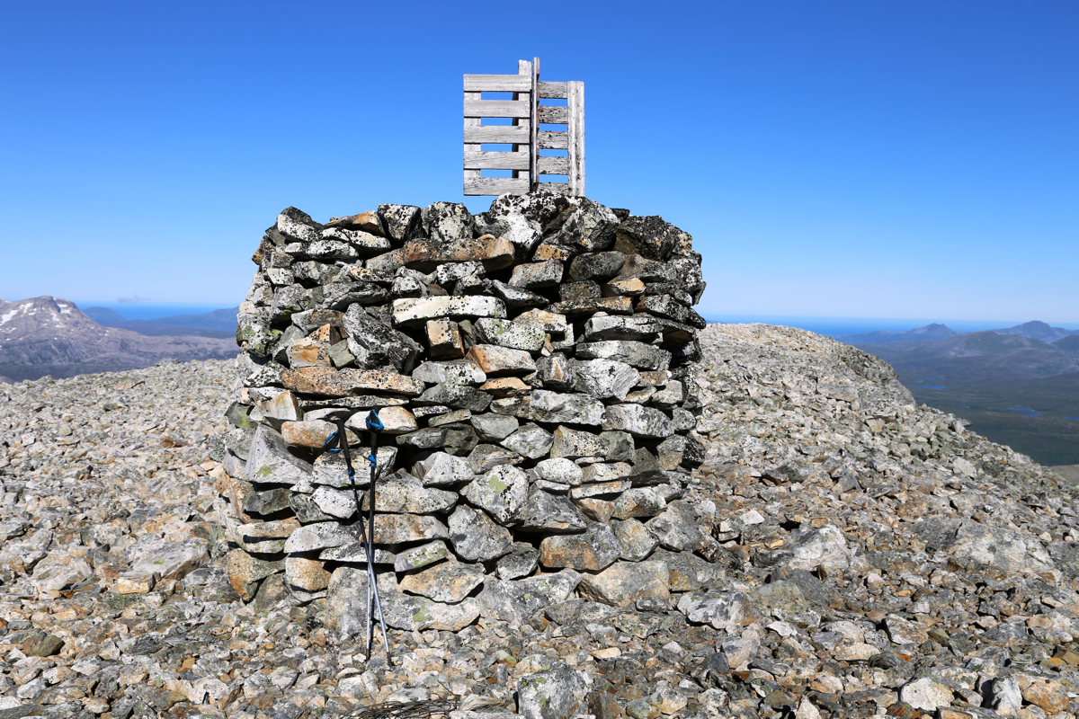
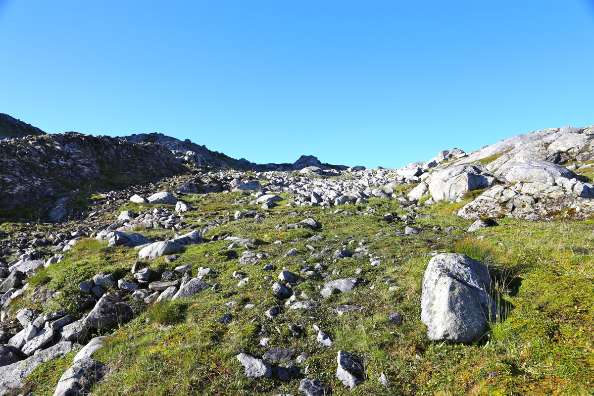
I was soon up on more gentle terrain, a broad slope - all talus leading
to a big cairn at
point 988. The time was 1020, it had taken me 3:40 to get here.
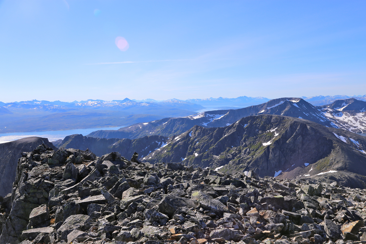
The main summit with a
smaller cairn could be seen across the slightly complex ridge that connected the two
summits. I had no idea about how difficult this traverse could be, but assumed that I would
be able to climb the summit from here, possibly making some detours.
I left my walking poles on the ridge, they were only trouble now that I needed to hold on
to the rock. I noticed that the rock was still wet and slippery in the shade, not ideal.
Soon, I needed to bypass a spot on my right. Instead of climbing directly back up, I continued
along some easy ledges then regained the ridge. Next came a section where the ridge was
horozontal, but very narrow. Fortunately, good to hold on to the top while walking
on the left. Another bypass right, a continuation around a corner led to a ledge that intersected
a distinct gully. This gully would easily regain the top ridge in a notch. I scrambled up
here and realized that this was most likely the spot where my friend Åke and his Dad had
been. I tested the friction on the slab of rock and my boots slipped. Bad news, but it was pretty
obvious to me that I should not risk a walk on this surface. Back down the gully, then exploring
alternative routes up. This only got me up and into a few other bad spots from where I had to
carefully climb back down. For a moment, prospects of getting to the top looked grim. It looked
steepish and quite a long way up to the skyline.
The only feasible option was to continue looking by walking even further along the horizontal
ledges that I already had used to get this far. I sort of turned another corner, the terrain
above looked better, still scrambly, but there was less water and the small ledges looked better.
I started going up, moderate class 3 terrain. As I got higher, things improved more and an
ascending line going right led to a wide gully that definitely would get me all the way back
to the main crest. Very good news indeed! The rest was straightforward and at 1210 I arrived
at the summit cairn.
The traverse had taken me 1:50, quickly forgotten. I took panorama
pictures, a small snack, then sat down in the warm sun and focused my thoughts on
Edward Earl. His relatives and many friends would soon prepare for their last goodbye in
Livingston, Montana. Edward had many talents, I knew him as a person that enjoyed the
outdoors and to climb mountains. Our last meeting was August 10th., 3 years ago, where we
met for lunch in Bozeman, Montana.
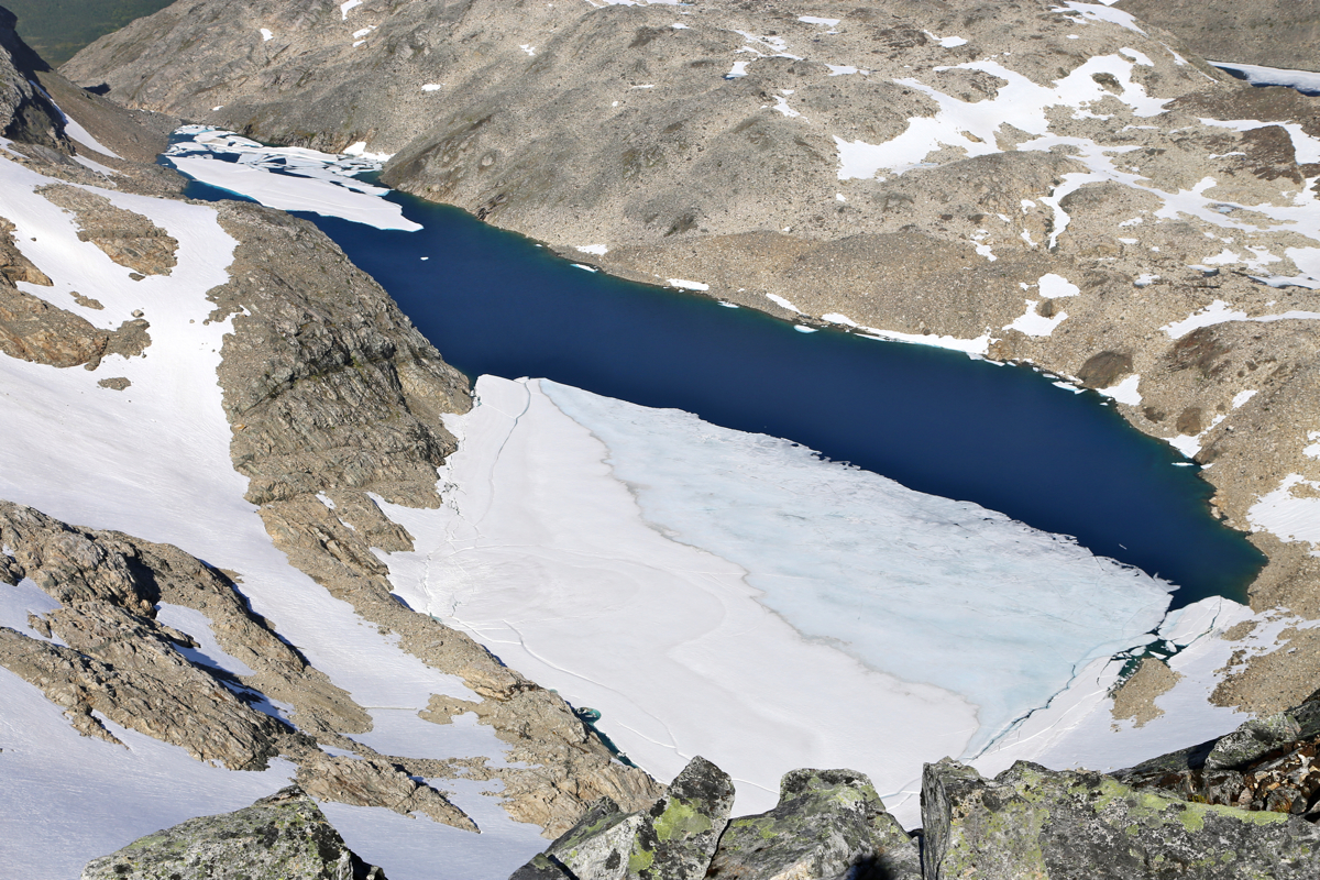
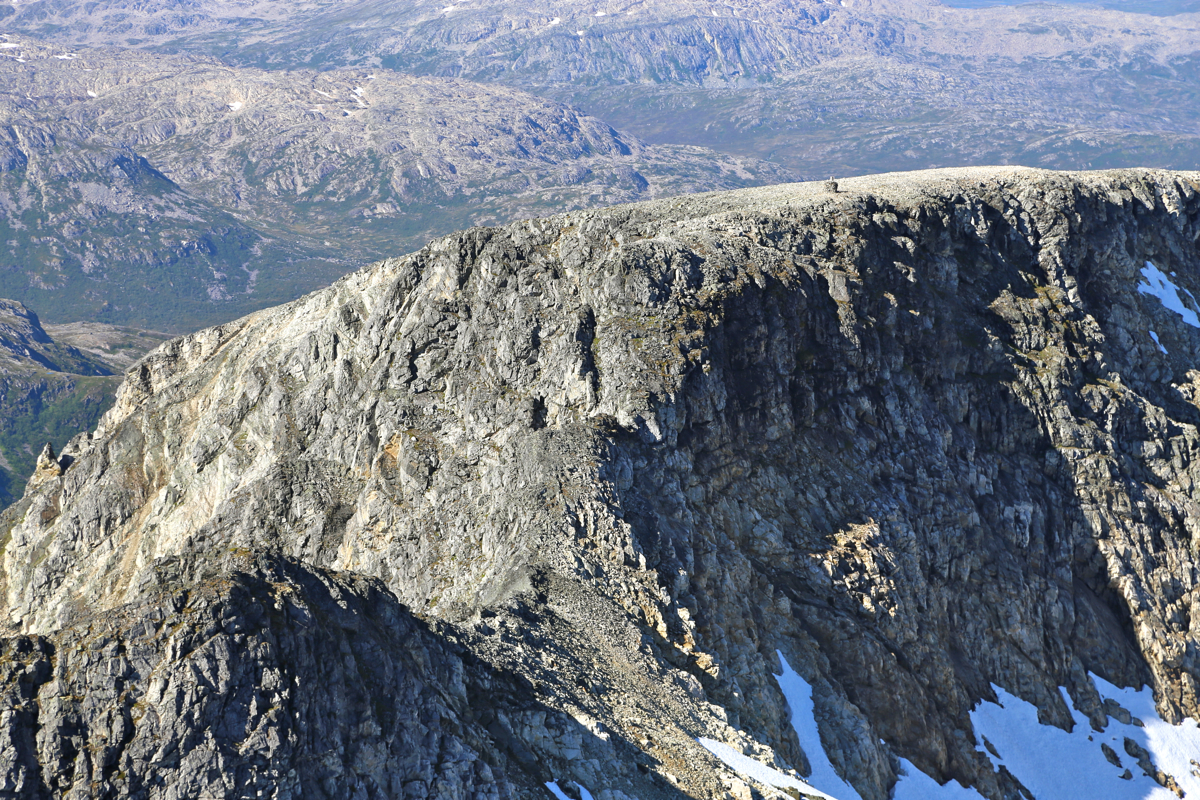
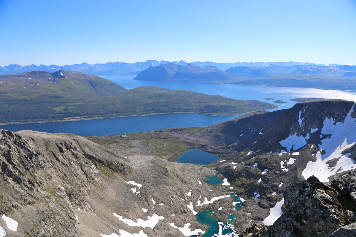
I spent more than one full hour at this summit, much longer than I normally do.
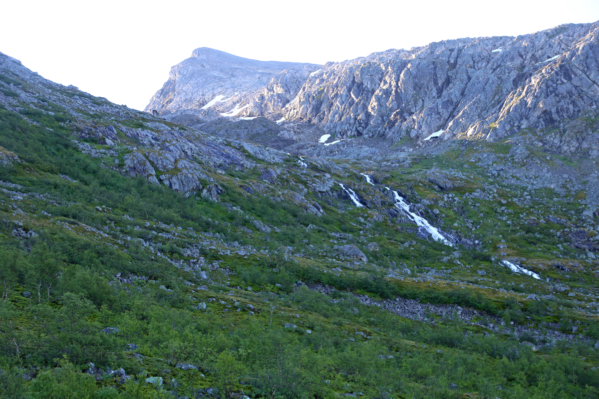
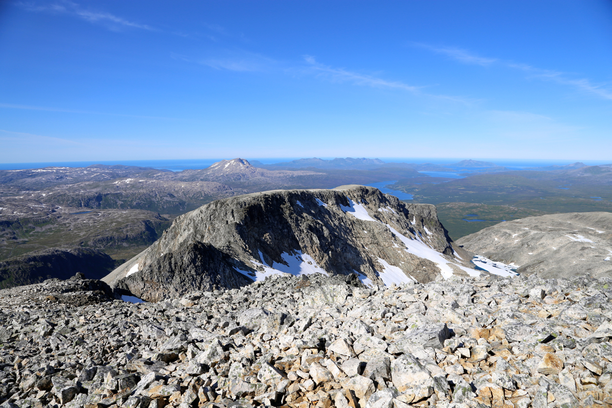
There were nice views, just below the summit
is a small glacier that extends into a lake.
Looking just left of this, one sees the connecting
ridge and the 988 summit plateau.
Finally, at 1315,
I started my careful scramble back the way
I had climbed up.
It took me one hour to return to the cairn at the 988 summit, then
3.5 hours to walk back to my car. This time, I followed the trail all the way to the
road, thus discovering the correct trailhead.
I returned to my car precisely at
1800, that is at 10 AM in Livingston, Montana. The service for Edward was about
to begin. It had been a good and very memorable day, the same way as I will remember Edward.