How to get there:
From Bergen, drive to Voss, continue E-16 to the traffic circle at Vinje. make a left
here onto Hwy. 13, that runs across Vikafjellet. Drive to the skiing area Myrkdalen, make
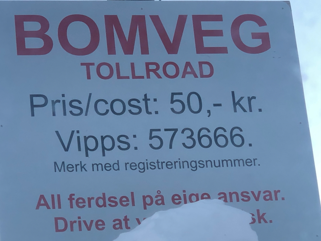
a right here, signed for Åmot. Continue about 950 meter up this valley, the upper part
of this is a toll road.
There is good parking at the top of this road at location N60.85856, E006.51056,
elevation 512 meter.
Route description:
There is a groomed ski track that climbs up this valley to a point near an area of mountain
cabins. When this track levels off, fork left (north)
and head into the valley
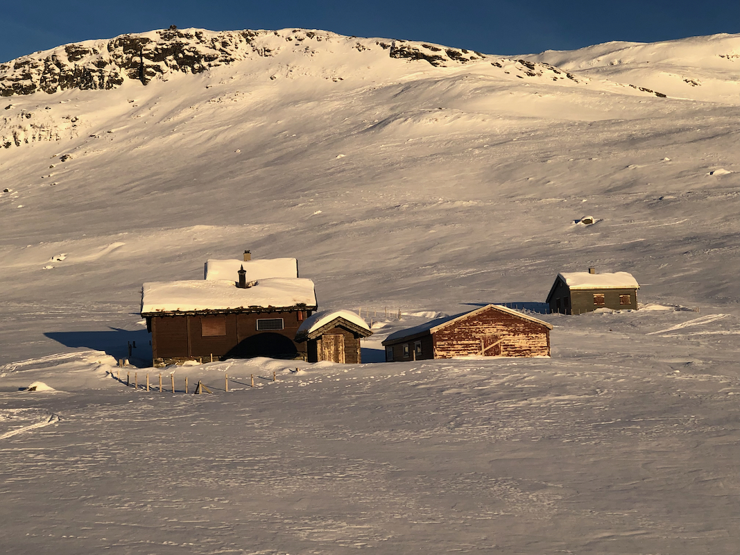
towards the old cabins called Reppane.
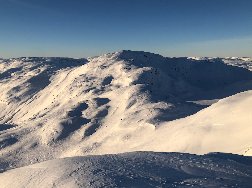
Turn right here and ascend gentle slopes towards the mountain. It is best to head north following some distict
gullys in order to reach the saddle directly west of point 1323m. This is a point on the summit ridge located about
360 meter north of the summit. From here, ascend the slope above, this is 30-35 degrees steep, evaluate the
avalanche situation. There is an alternative route, less steep, if you continue north and access the summit
ridge from the north side. Once on the main crest, the route (south) to the summit is straightforward.
Comments:
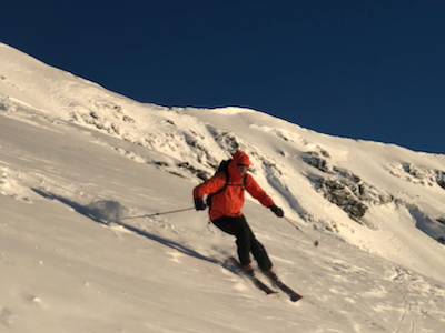
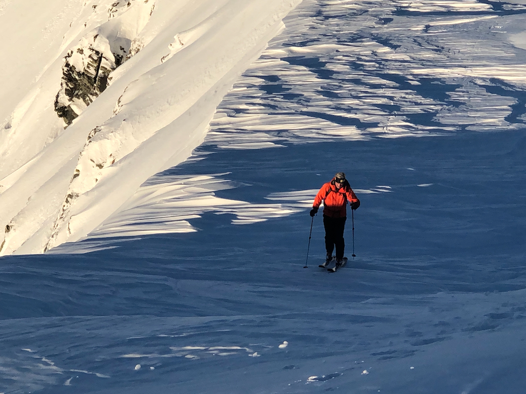
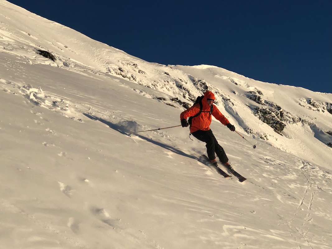
I did this trip with my friend Eric. We left the car around 1015 and arrived at the summit at 1345.
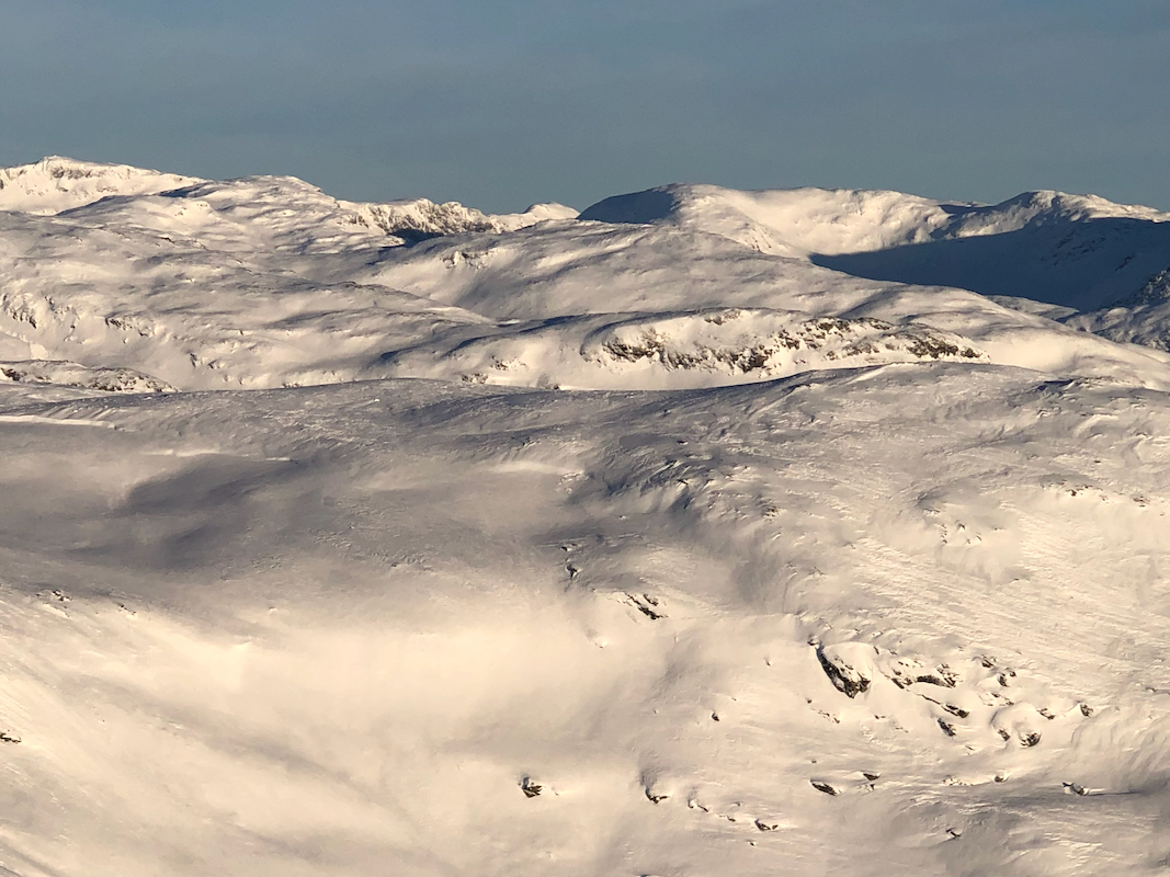
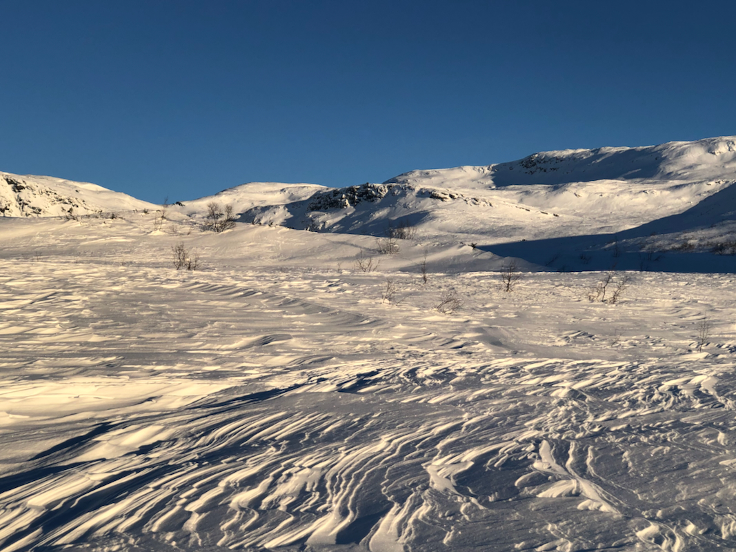
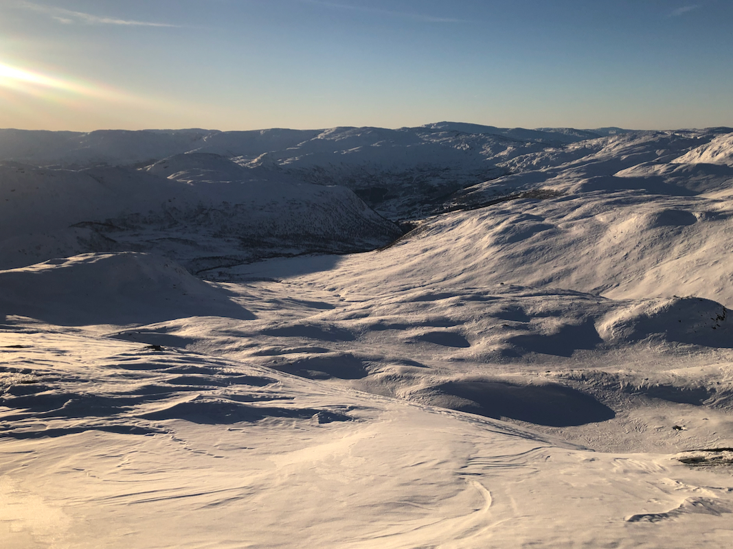
Good views all around.
The snow conditions on the final, somewhat steeper slope were safe with
respect to avalanche, but patches of hard crust could cause problems if the ski lost its grip.
I decided to leave the skis in the middle of the hill and complete the ascent on foot, while
Eric skied to the summit - good job!
We skied back down to the car in one hour, arriving shortly before 1500.