Location: North 64.83802, East 013.80933 (GPS on the summit)
Røyrvik, Norway
Difficulty: (YDS) class 2+
Climbed August 12. 2021.
Information:
How to get there:
Drive E-6 north from Steinkjer all the way to Brekkvasselv. Fork right (east)
here on Hwy. 773. In Røyrvik, continue east on Hwy. 7024. Drive on the
north side of lake Hudningsvatnet. When you get to the end of this lake, fork south
(the Hwy. continues east to Sweden). The road will enter a mine that has been discontinued.
Find your way around some buildings and enter a small dirt road that heads uphill (SE).
This road is closed by a locked gate. Park just before the gate at location
N64.86802, E013.85586, elevation about 490 meter.
Route description:
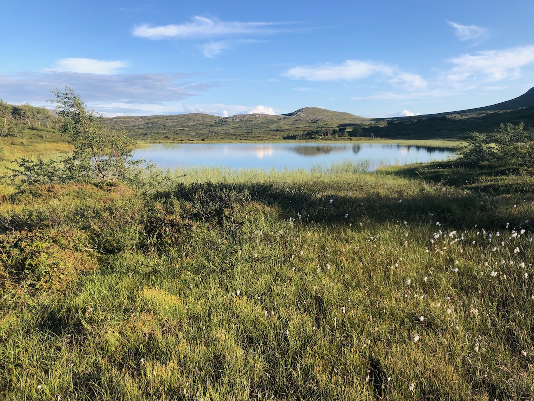
First, hike the road until it ends. Turn in a south-west direction. You will see a pretty
distinct hill in front of you, between your location and the mountain. You should pass on
its left (south) side. A line of travel that will
bring you close to a small pond
located at N64.8481, E13.8443, is good.
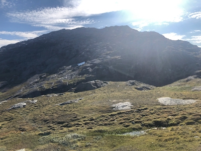
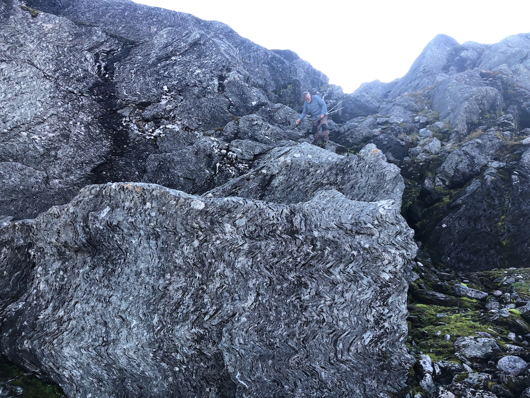
Continue to near the bottom of a very distict ravine/gully, location N64.8403, E13.8304,
elevation about 810 meter. This ravine/gully runs all the way across the mountain, the top
is on the left (south) side. Ascend the ravine/gully or on its left side. The slope is less steep
a bit higher up and one should continue a bit parallel to the gully.Gradually move more left
and follow a fairly natural passage uphill. There is always a way where easier passages
connect, however one may easily end up in (YDS) class 3 terrain
on this mountain.
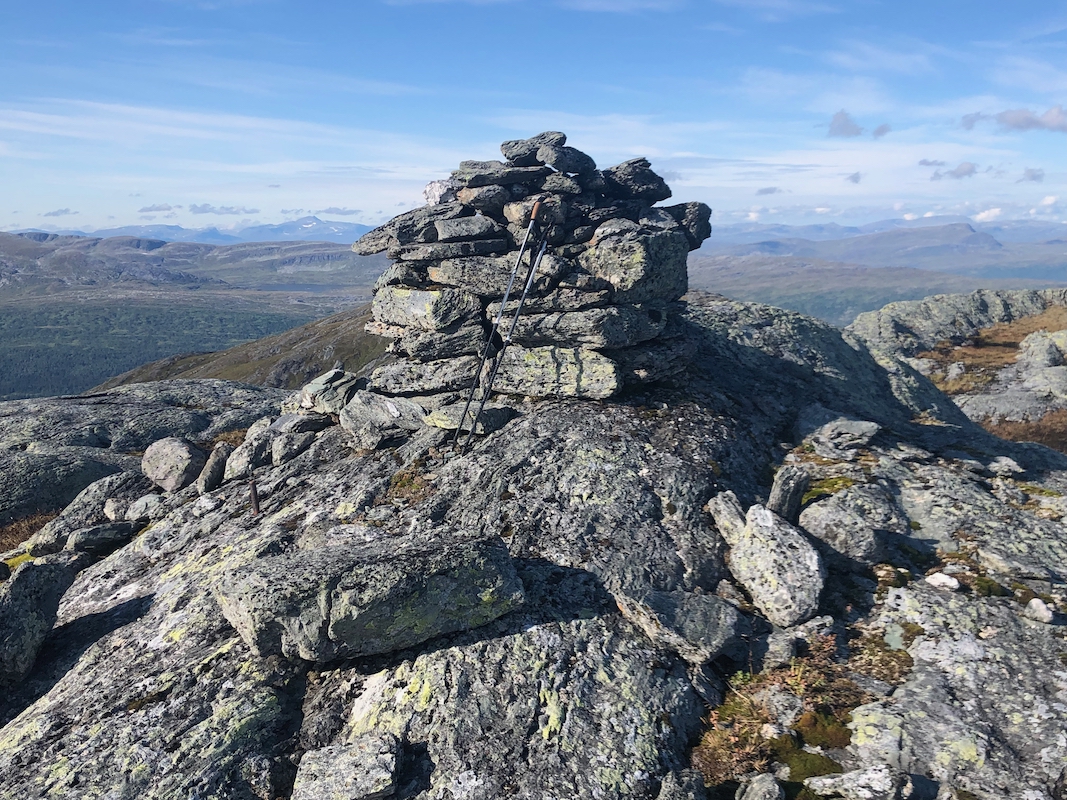
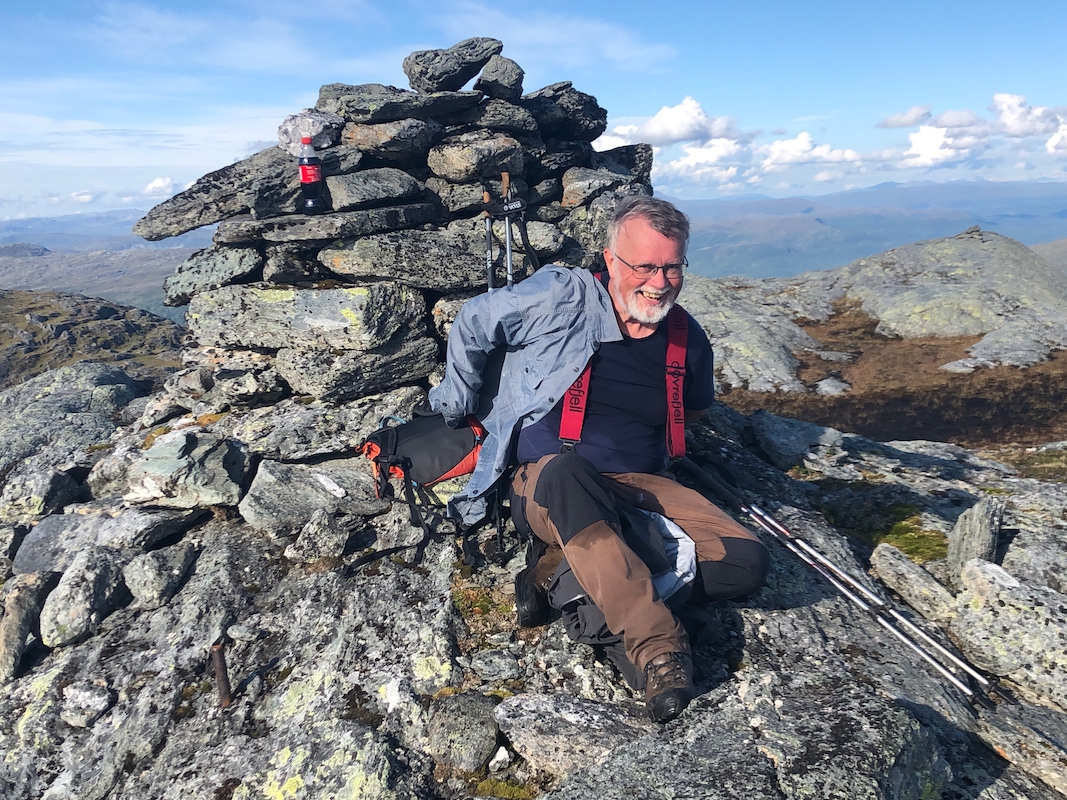
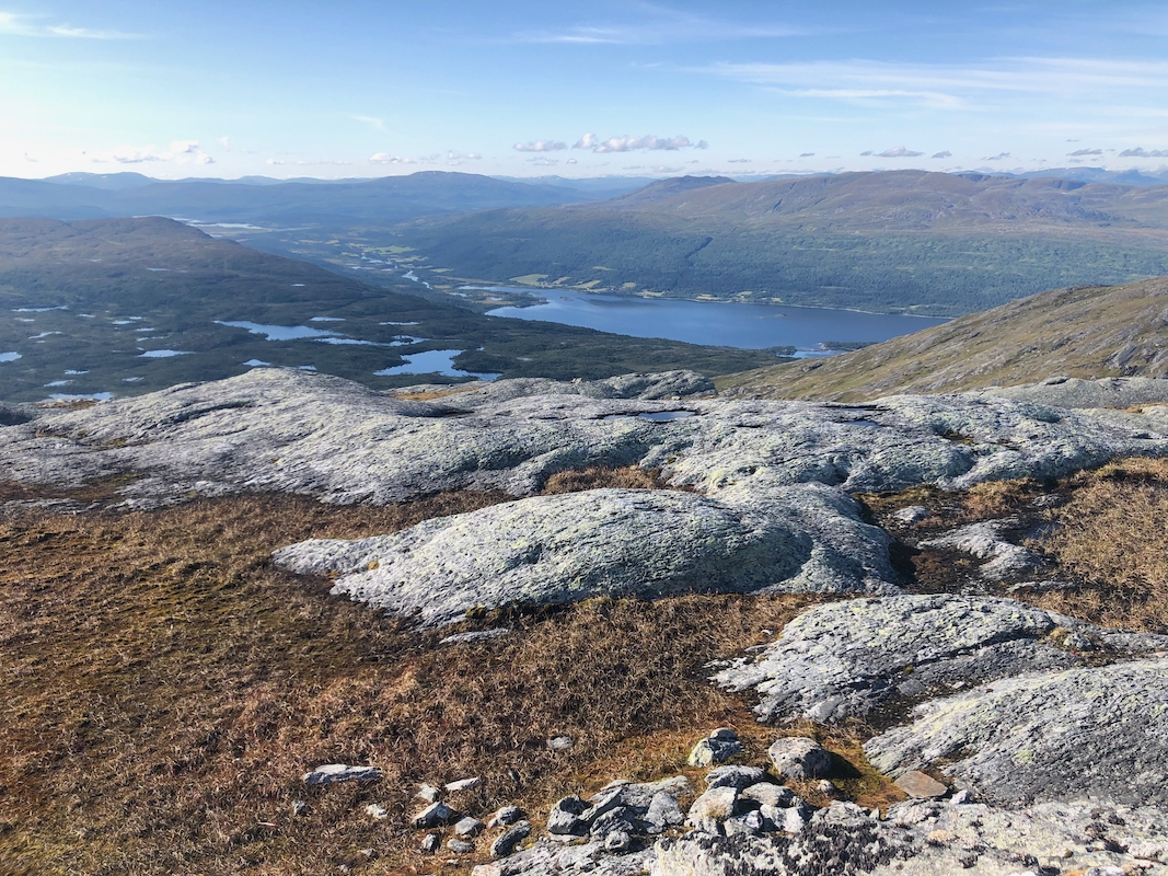
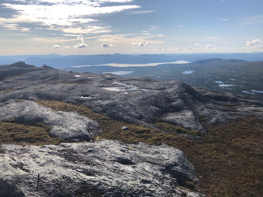
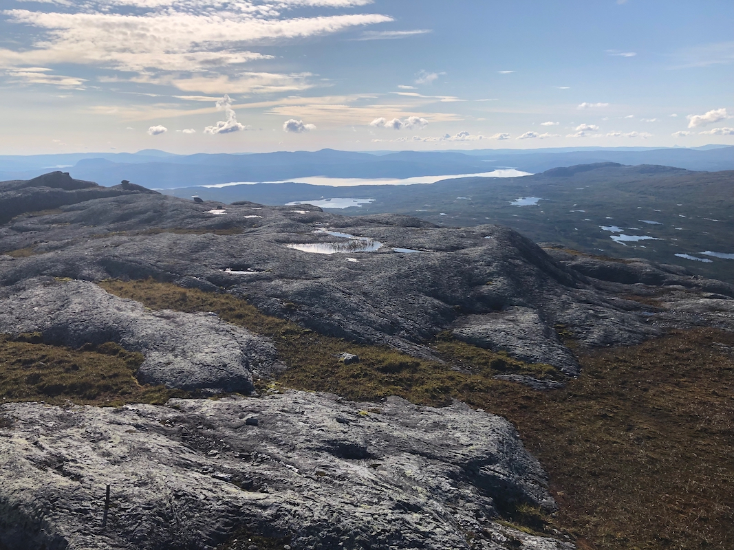
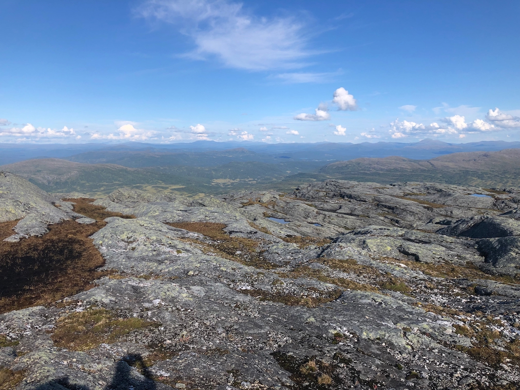
Finally, the top area of the mountain may be traversed quite easily to reach
a nice cairn on the highest point.
Comments:
I did this peak with my friend Jostein. It was the first of 6 mountains climbed
on 6 consecutive days. We left Trondheim after breakfast and started
walking at 1415. Nice weather. We picked a line that brought us to the north
of the first little hill and then ascending on the east side of the north (1119m) peak.
The ravine/gully that separates the two peaks was more distinct than anticipated.
We crossed near the saddle, then climbed Snuhkie from the north and higher up, slightly
on the north-west side. This route was (YDS) class 3.
Arriving at the summit at 1700, I first called our hotel in Røyrvik and got
our dinner delayed until past 2000.
After a well deserved rest, we descended east, staying
just south of the ravine/gully.
This was an easier route. We were back at the car
by 1950. A nice dinner followed in Røyrvik at Limingen Gjestegård.
Our next goal was Hatten in Hattfjelldal.