How to get there:
From Bergen, drive E-39 north to Romarheim. There is a signed road
going right. This road serves Modalen, but is also a cross road
towards E-16 and Dale.
Continue up the Modalen valley (Do NOT enter the long tunnel that connects to Eksingedalen).
After somewhat more than 10 kilometer, locate the signed road that forks right. The sign
reads Nygaard 6km. Drive this road, keep left and find parking near Steinavatnet, the road ends
here in winter, there is a nice parking area.
This is the tailhead, location N60.89937, E006.01917, elevation
about 490 meter.
Route:
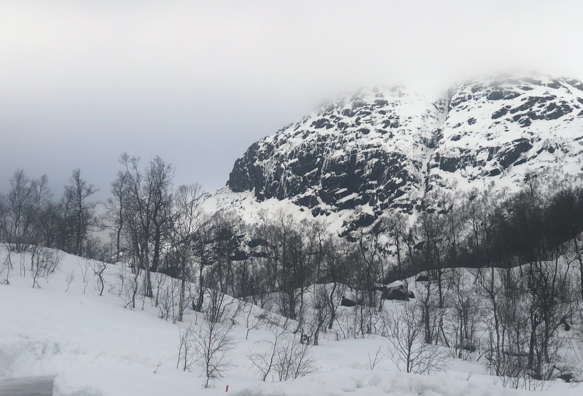
Ski to the lake Steinavatnet, then across to Nystølen. Follow (more or less)
the summer route uphill to lake Kvitavatnet (651m). Ski more steeply up to gain the
ridge on your left (west) side. Next, continue up this ridge, there are a few slightly
steeper sections, it pays to stay on the ridge. The ridge becomes more gentle above
900 meter, the upper part is quite easy if you stay slightly left (west) of the main
crest. Continue uphill, first curving a bit left (north), next heading north-east avoiding
the local tops on your left (north) side. The ridge has transformed into a pretty
wide area up here. A final, gentle climb will then lead to the summit plateau.
There are a couple of local points up here of fairly similar elevation. I did not
find any cairn.
Comments:
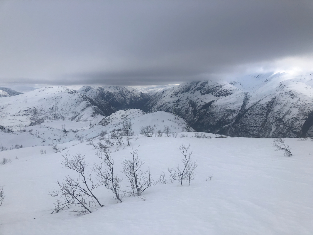
The forecast called for sunshine all day, first time in February. Thus, it was
clear that I needed to go skiing. Since Storfjellet is planned for Sunday, it was
natural to see if I could ski up the south-west ridge to the summit of
Smørstakken.
I left home already at 0615 and had a nice drive to Modalen. I parked at the end of
the road and prepared for my ski trip. Ready to go around 0845. The weather was still
cloudy, but there were small signs that the clouds might break up in the next few hours.
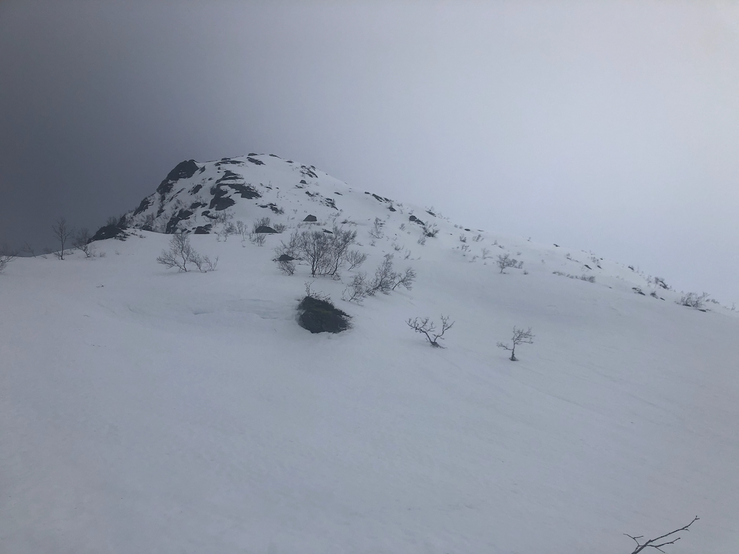
Nice skiing across the lake and up to lake Kvitavatnet. The best line to reach the top
of the ridge was pretty easy to see, I was quickly on the ridge getting closer to
what looked like a pretty steep section. I decided to contour out right, then ascend the
slope that appeared less steep. This was not a good idea, perhaps slightly less steep,
but now with exposure, a long way down if one should slip up here.
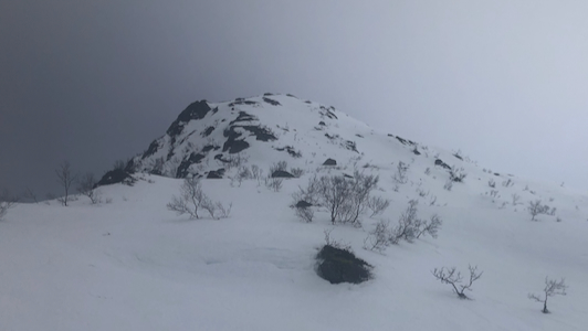
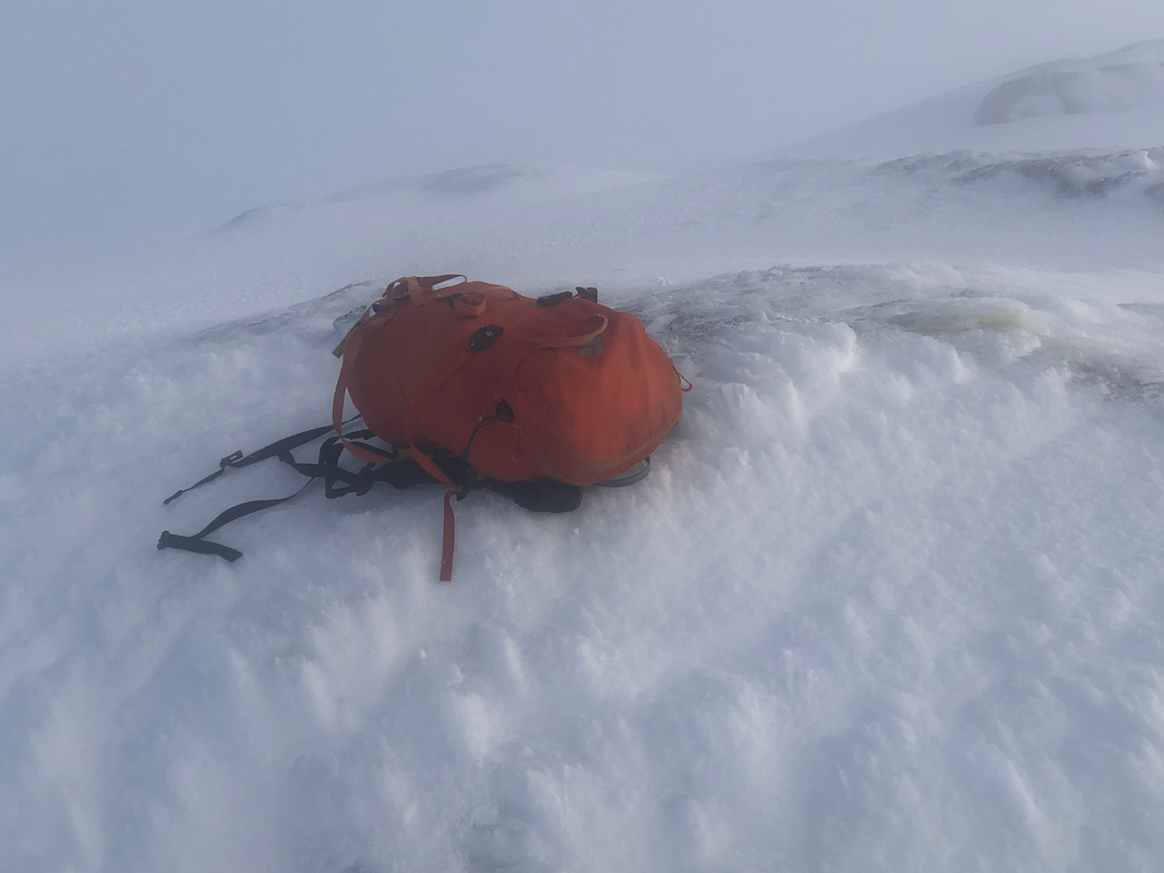
I arrived at the summit at 1100, dense fog after the ridge became wider.
Slow going with frequent checks that I was moving in the correct direction.
I visited two high points with my GPS showing the same elevation. The return
ski was easier since I could see my ski tracks most of the way. I decided to
stay (safer) on the ridge all the way down.
Back at the car at 1315, overall a good trip despite the absence of the promised sun.