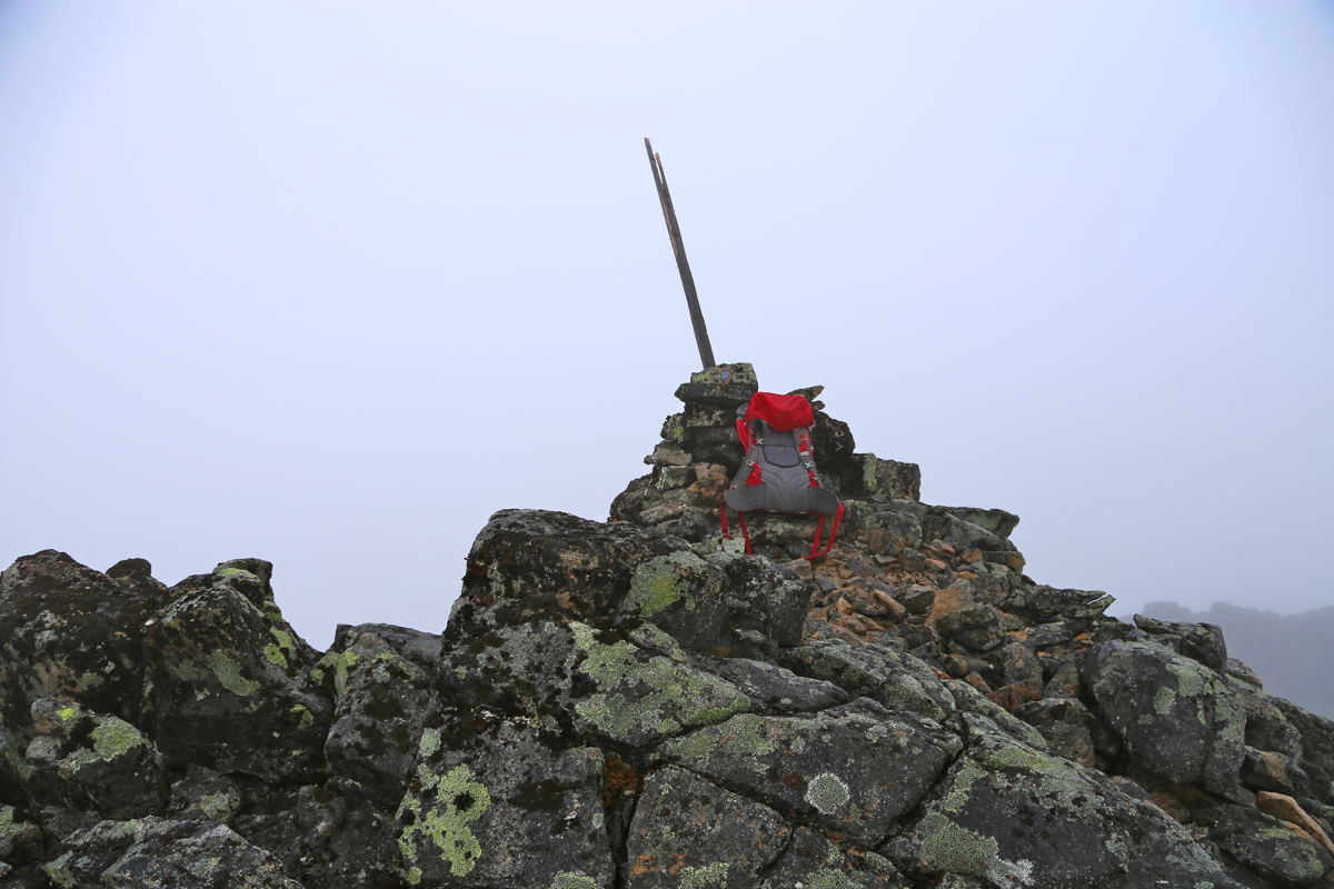
Location: North 69.67558, East 018.44242 (GPS on the summit)
Troms, Norway
Difficulty: (YDS) class 3
Climbed August 14. 2015
Information:
How to get there:
The large island west of Tromsø, Kvaløya, is almost divided in two parts and
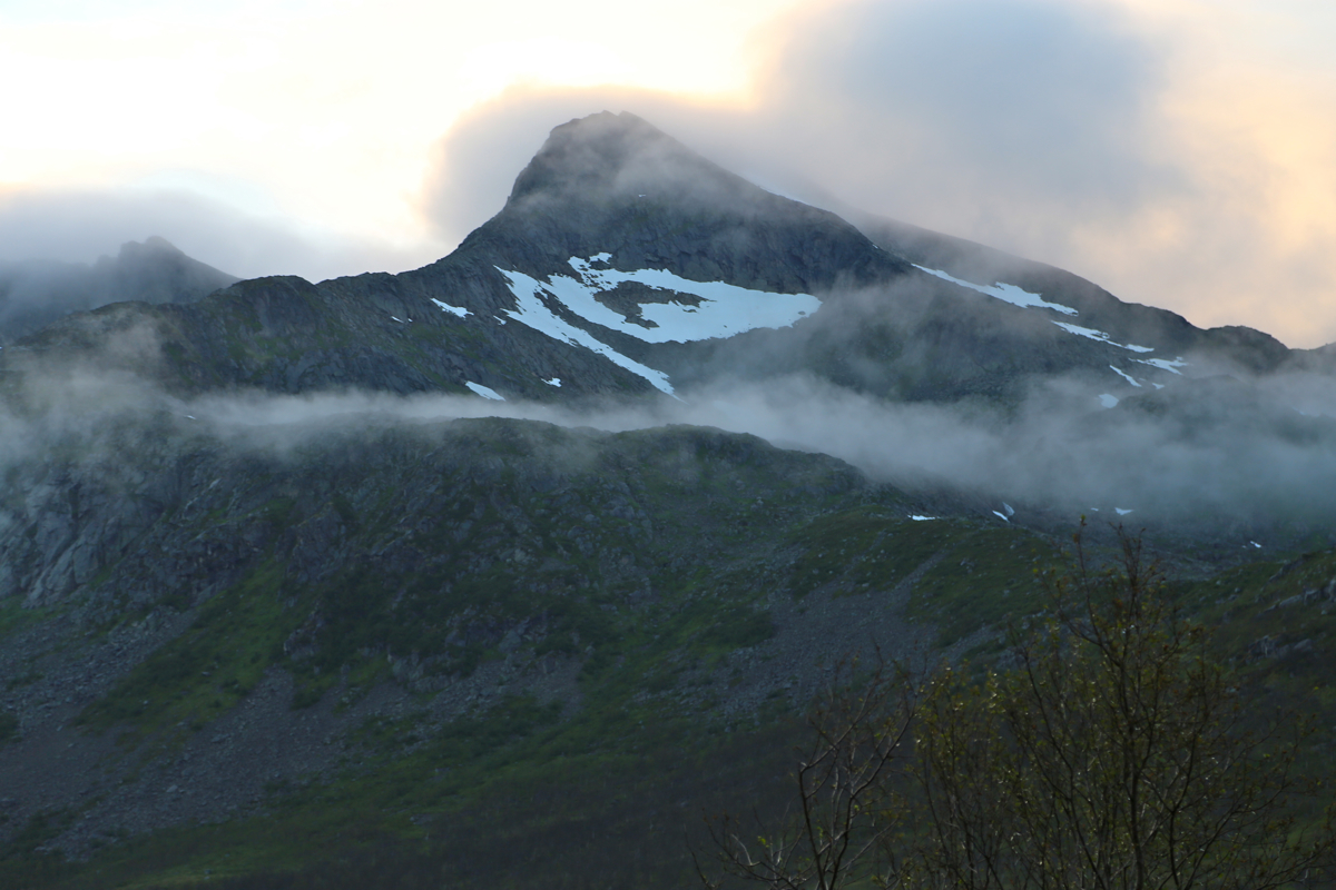
Skitntinden is the highest mountain on the south part. This mountain is a very popular mountain to
ski, but people then (almost all!) stop at the first, false summit as the last part of this climb is
not suitable for skiing.
Drive from Tromsø across the bridge to Kvaløya (near the airport). Turn left
and drive to Eidskjosen (Kaldfjord). Turn right, drive the short distance to Henrikvik, turn left here (Hwy. 862).
Drive across to Kattfjordeidet, continue to the second (and last) parking on the right side of the road, near the
end of the lake (Kattfjordvatnet). Park here, location N69.64965, E018.49330,elevation about 158 meter.
Route description:
Follow the trail that runs left of the lake and then aim for the distinct
clearing that has been cut in order to make a good run down for skiers in
the winter. There is a small trail that follows this winter route. AS more
people follow this trail, it will become better and more visible.
As you turn a small corner, the next task is to cross the small river ahead.
This is best done a little upstream where the river has split up into smaller
parts. Continue to follow grass with some unavoidable boulders, Aim directly
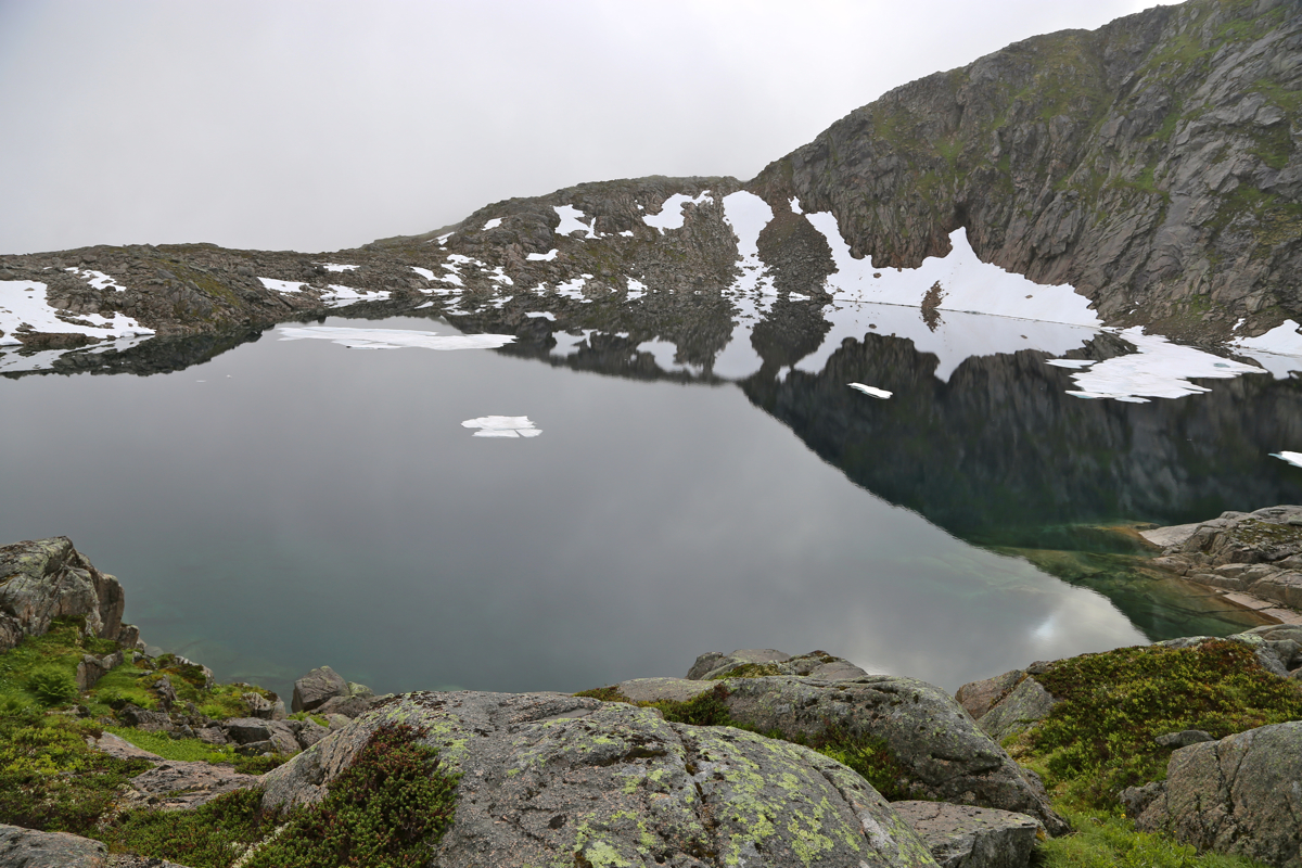
for the steeper ridge that comes down between the two creeks. The left creek comes from
a nice lake.
Head steeply up the ridge following some convenient grass gully. Next walk along
this ridge until it connects with the broad ridge that comes down
from Skitntinden.
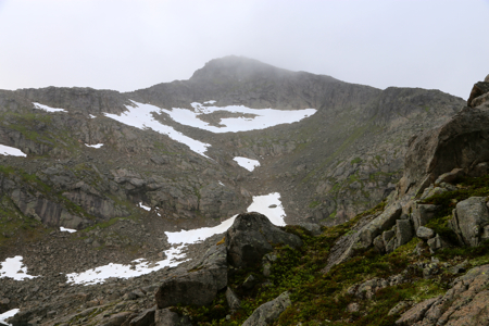
Follow this ridge uphill directly towards the summit above. There may be
patches of snow that makes the climb easier. Higher up, the ridge is less rocky and
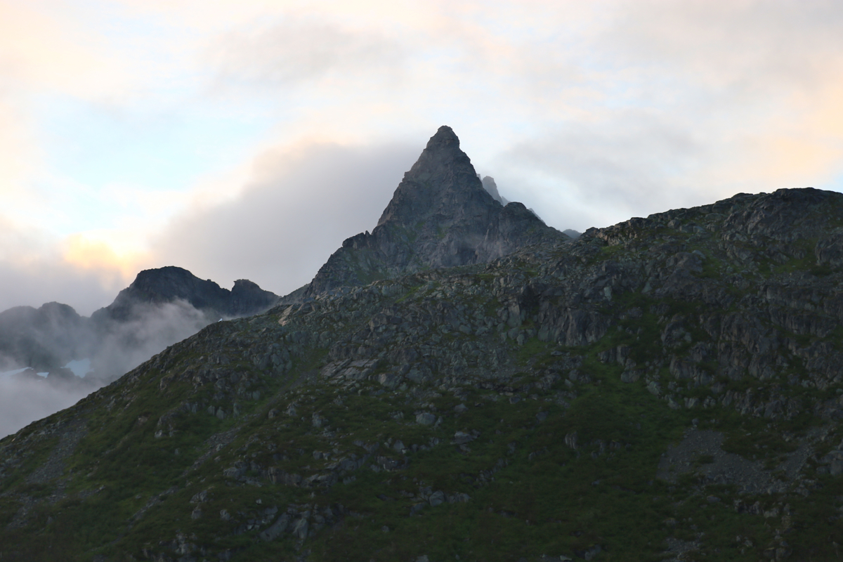
pretty nice to walk, Finally, ascend to the first (false) summit. This is where most
skiers turn around in the winter. Therefore, it is called the ski summit of Skitntinden.
You can now see the summit, marked
with a wooden pole straight ahead. Descend slightly to the
connecting saddle, this is easy and the saddle is also quite wide, Next, follows a short
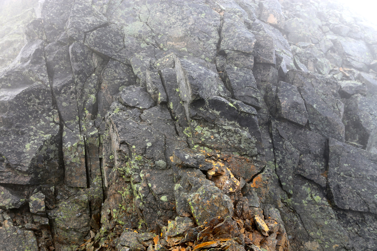
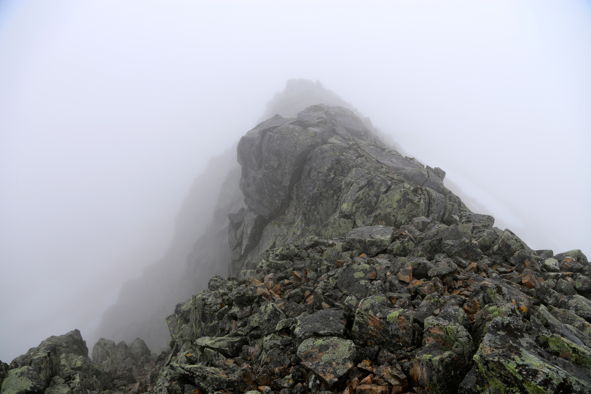
section of (YDS) class 3 climbing. Ascend from the highest point in the saddle across a slanted
rock, move up and slightly left, then back right. There is a good, crack going straight uphill.
With a good footstep, climb this short crack,
there are two super handholds near the top.
The rest is class 2, descend slightly right to reach easy terrain that can be followed all the way
to the summit. Comments:
The forecast for Tromsø was much better than Bergen. I decided to climb a few peaks
near Tromsø. Leaving Bergen on a direct flight, I was in Tromsø at 1500. Rental car,
a bit of shopping and then to the trailhead. I was ready to hike around 1630. The weather was
not as nice as promised, the clouds hung low and there was no blue patches above. The route was pretty
easy and I came up to the lake, contoured around and followed the lower part of the little
valley up to the saddle. This was slightly cumbersome and I decided to try the ridge when descending.
Higher up, I made good use of a patch of snow, the ascended to the false (ski) summit. From here, the
initial part of the final climb looked tricky, the rocks were still wet from rain and fog and everything
looked slippery. However, on closer inspection, I found a pretty easy scrambling route that led back
to easier class 2 terrain on the right hand side of the summit as seen from below. I arrived just before
1900. A nice summit, too bad that the visibility was very limited.
I could see part of a ridge
falling away, otherwise not much.
I left after 10 minutes and carefully descended back to the ski-summit. Following the same route down the
first ridge, but then I traversed out the ridge above the lake and descended more or less directly
to a smaller lake, then to the river and back on the trail
Unfortunately, the trail is rather vague in places while an old trail that ascends through the forest
is pretty visible where the two trails meet. I took the forest trail without paying attention and
soon I lost it and had to descend through the birch forest back down to the open meadow below.
I was back at my car at 2120, very happy with the day.
I next drove to Ringvassøya in order to camp near the trailhead of tomorrows objective,
The weather cleared as the sun set and the prospects for the next day looked good.