Location: North 67.92432, East 015.62043 (GPS at the summit)
Steigen, Norway
Difficulty: (YDS) class 3
Climbed July 4. 2021.
Information:
How to get there:
Steigen is connected to the rest of Norway via an 8 kilometer long
tunnel. Drive through this tunnel, continue about one kilometer after
you exit, find parking where a small dirt road forks right.
This location is N67.94782, E015.65804, elevation about 33 meter.
Route description:
Contine along the main road in order to cross the river.
Walk south on soft meadows, passsing between 2 small ponds. Continue
into the valley and ascend gradually left after turning the distinct
ridge that comes down on your left side. Locate a pretty open, but steep uphill
slope (going sosuth-east). Climb this to about 350 meter of elevation. When
uphill progress gets more complex, angle right and continue an ascending traverse
along fairly easy terrain, that will get you to a nice plateau area just
below the waterfalls. From here, you will immediately see an obvious ramp
climbing east. This will bring you to the north side of lake 620m. A few cains
mark the upper part of this passage. Continue east to reach the north end of
the smaller lake at elevation 768m.
One may proceed on either side of this lake, going south on the east side was
clearly preferable in early July. At the south end, make another big turn to your
right, ascending south of a long, distinct cliff band that generally blocks passage.
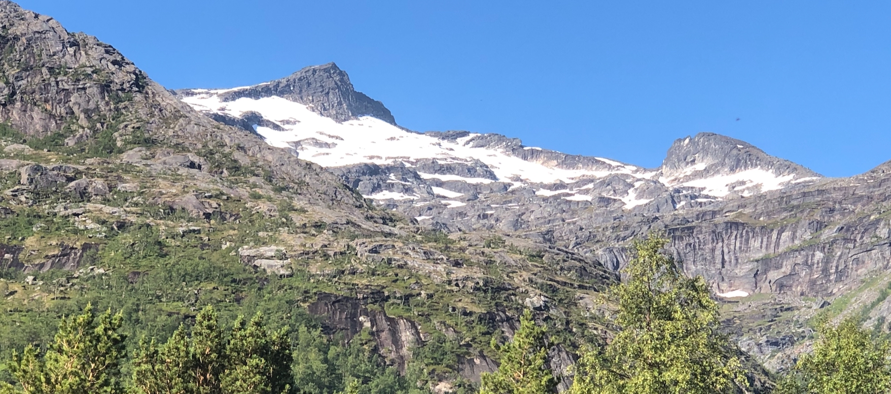
Higher up, in the bowl below the peak, there is continuous snow in July. Ascend
towards the upper, east ridge of the peak. The snow slopes get somewhat steeper
just before you complete this traverse, an ice axe may be good to carry. The
entry point on the ridge is marked with a cairn. Finally, scramble up
the ridge (easy YDS class 3), to reach a very nice summit.
Comments:
I started around 0815. The day promised to be gorgeous.
This entire hike was pure delight, perhaps in particular, the fairly
extensive part on snow, from lake 768 and all the way to the final summit
ridge. Summer snow may be hard and should never be taken lightly, I recommend
to take an ice axe along for added safety. The final scramble was fun and I
arrived on summit after roughly 4 hours, including numerous short breaks for
drinking water (from many streams). It was a hot day and I got more thirsty
than normal.
Super views in all directions. I could easily see the 3 previous peaks climbed.
Storvasstinden to the south. Next, Hatten very characteristic in the south-west.
Finally, Vågsfjellet to the north-west. The long jagged Lofoten horizon
clearly visible in the distance. I enjoyed the summit for more than 30 minutes
before descending. The return hike went smoothly along the same route, back down
by the car in about 3 hours, also now with several stops to drink the
pure and cold water from the streams.
This climb is highly recommended.
