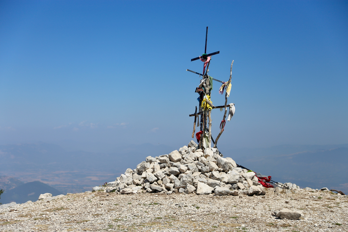
Location: North 41.56981, East 013.09184 (GPS at the summit)
Difficulty: (YDS) class 1.
Climbed July 23. 2017.
Information:
How to get there:
From autostrada A1, south of Rome, exit at Colleferro and drive south to Montelanico.
Continue further to the small town of Carpineto (there are road signs).
In Carpineto, you need to get onto Via Rerum Novarum, signs for Faggio are helpful.
Once on this street, the rest is fairly obvious, continue to parking at the trailhead,
this is location N41.57810, E013.10675, elevation about 880 meter.
Route description:
There is a large trail information sign where the trail starts. In fact, the beginning is
a local (dirt) road. Hike up this road, shortly after a left bend, you will find trail signs
that show the beginning of the proper trail forking off the road to the right.
The trail first zig-zags a bit uphill, then it enters a small valley that runs down between the
two hills. Our mountain is the top of the hill on your left. The trail continues nicely all the
way up to the col between these two summits at location N41.57756, E013.07638, elevation about 1330 meter.
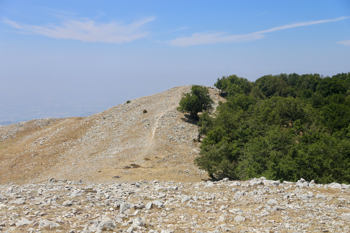
However, if you just want to pick the shortest, most direct route to the summit, then leave the trail
already at location N41.57681, E013.08567, elevation about 1225 meter. (There is a small structure next to
the trail here.) Head directly left, (this is off-trail), climb a small ridgeline on your left when convenient.
Follow this ridgeline (it is quite distinct) as it runs directly to the summit. The terrain si quite easy to
walk, no brush, no steep sections.
If you stay with the trail, then turn sharply left (more than 90 degrees) at the upper end of the col (there
is a bench there), then follow a trail that climbs into a small side-gully, ascending to a second col. Traverse
this col and pick up the trail as it continues to climb the final 8and correct) hill. It pays to keep left, thus
avoiding the very top crest, this trail will climb gently and exit onto
the main ridge just a few meter
before the actual summit.
If you ascended by the trail, you mauy still consider to take the more direct ridgeline back down. This is
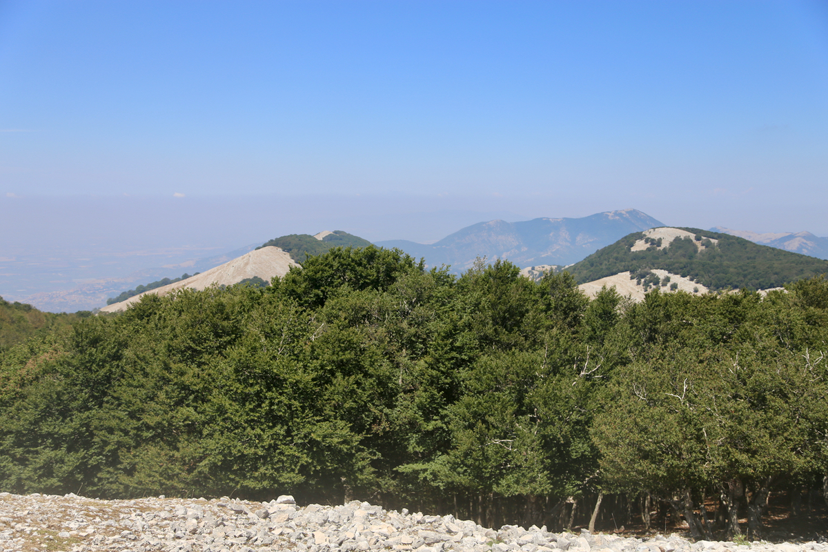
pretty obvious when standing at the summit,
from where you can see the two cols that the ascending trail
visits.
Comments:
Quite a long drive from our "camp" in Telese Terme, however with the A-1 road, the travel time was not
too bad. I was ready to hike by 1050 and it was quite an easy hike to the first, broad col. There, I ran into
a young man who asked if I knew the way 8he was a bit lost). I pointed out the trail and he followed closely
behing me. As we approached the second col, I could hear that he was getting a bit exhausted as he started to
slip behind. I arrived at the summit at 1205, so 1:15 up.
Nice views and a good time to have a rest. The rest became longer than planned, because the man arrived about 15
minutes after me and we had a brief chat. He wanted to follow me down when I told him that a pretty obvious
short-cut existed. But first, he wanted to have a small lunch. He offered me a banana and I stayed around
until he was ready to leave at 1245. The descent to the trail was very easy as expected. From there, just an easy
final descent. I was back at my car by 1335, som about 50 minutes down.
The drive back went smoothly and I could enjoy a swim at our hotel around 1530.