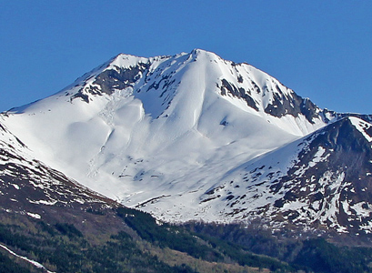
Location: North 62:12.625, East 006:07.642 (GPS at the summit)
Sunnmøre, Norway
Difficulty: YDS class 2
Climbed May 1. 2011
Photos: Anne Rudsengen and Arnt Flatmo
Information:
How to get there:
The best description can be found on
the excellent mountain pages by Arnt Flatmo.
Route description:
From the parking, continue through the gate and straight uphill on the dirt road.
Continue uphill until you reach a pretty obvious left turn where there is a building
and a small creek. The route forks right here. Continue a bit uphill behind the building,
then more or less horizontally in
order to reach the main river a bit further in.
In the spring, there is a pretty good snow bridge here.
Comments:
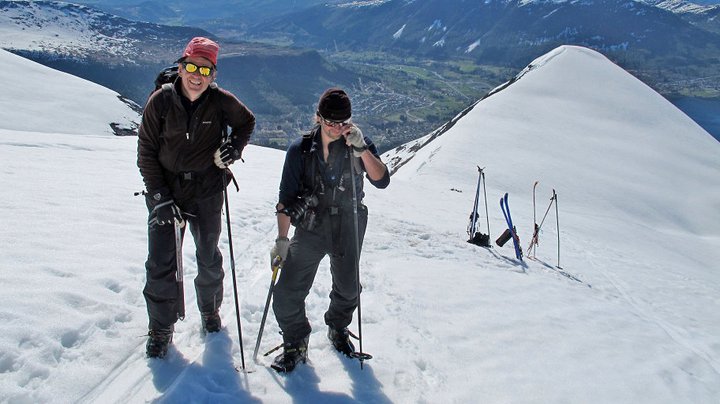
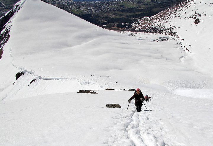
We decided to leave the skis behind and
walk straight up the final slope.
Quite a few people had already been here, leaving good steps for us.
The weather stayed nice and the view got
better by the minute.
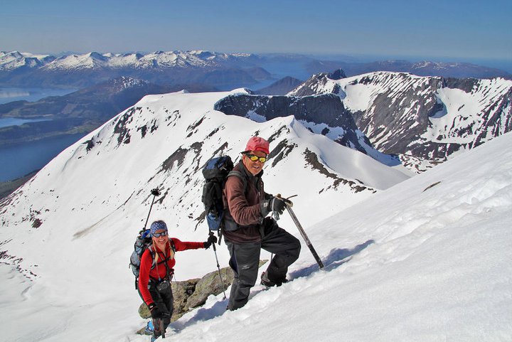
We arrived at the summit around 1300,
the view was good and the day perfect. The drop
to the other side is abrupt, so care is needed. We rested on the cairn and waited around
until more people arrived before starting our descent.
Also see the very nice trip report
written by Arnt Flatmo.