Location: North 35.44745, East 127.66942 (GPS at the summit)
Korea
Difficulty: (YDS) class 1
Climbed July 4. 2015.
Information:
How to get there:
A convenient point of reference is the Jinju airport located
south of Jinju in Sacheon. Pick up Hwy. 3 going north or expressway 35
(I never figured out how to use 35), go north until you locate a clearly
marked exit for Hwy. 60. If you come from the Jiri-san area, then go north
on Hwy. 59 (it runs north east of Jiri-san, but west of Hwy. 3) When you
locate Hwy. 60, take this road going north-west. Continue until you see
a clearly marked intersection with Hwy. 1023. Turn right onto Hwy. 1023 and
follow it climbing the hill until highest col, where there is a nice
highway portal. Drive through, then exit left onto a large parking area.
This is the tralhead, location N35.44440, E127.70061, elevation about 755 meter.
Route description:
From the parking area, walk up some large stone steps towards the right side
(when facing from the parking area), of the big highway portal. You will easily
pick up the beginning of the trail here, it immediately climbs the ridge on a nice
path with wooden poles defining the steps. The route will continue to stay
on top of this ridge all the way to the summit.
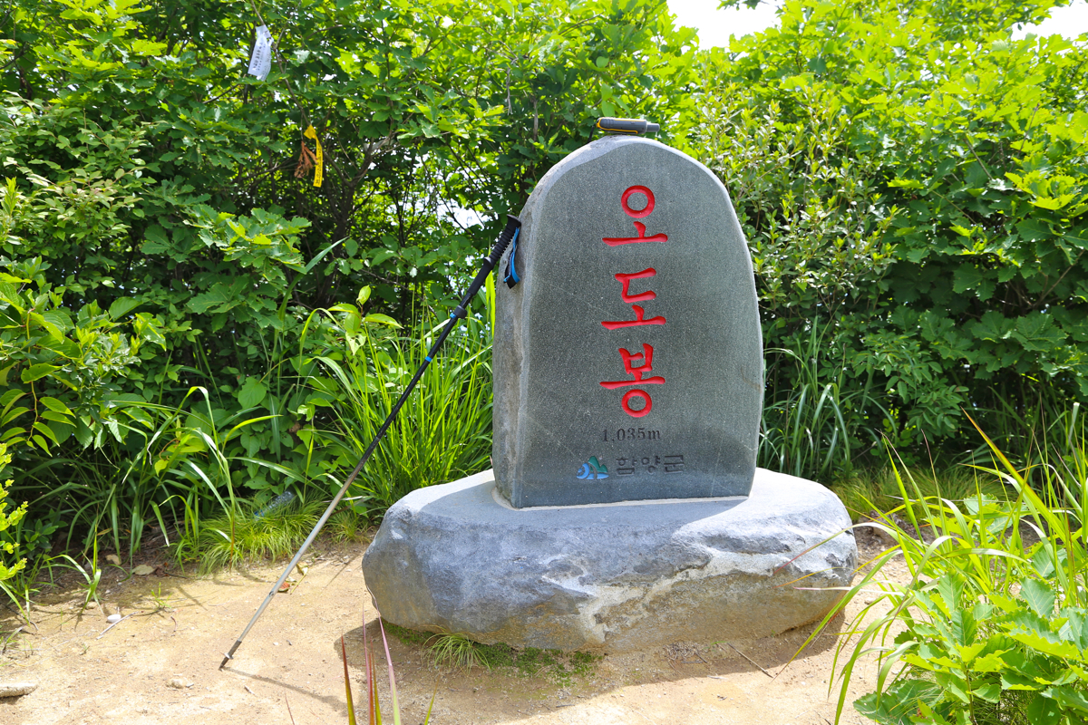
The route (picture as seen from the summit) will cross over two humps, each having
about 65 meter of prominence. The first hump is about 925 meter, while number two
is 1035 meter and has its own summit marker.
From here, you see the final summit ridge
with many small bumps and the highest point at the (left) end. The trail
is easy to follow as it descends to the last col, then climbs up to the bumps.
They are each crossed, providing some small additional up and down. The last bump
is now circumvented by a a significant drop (stairs) off to the right. However,
the old trail is still visible and it avoids this drop at the expense of a slightly
steeper down-climb followed by an old staircase that may still be used with some caution.
Finally, there is a last uphill to gain the summit plateau.
Comments:
After my very nice overnight stay at the trailhead of Jiri-san, I drove
north in search of a trailhead for Sambong. After a bit of searching, I hit
the proper Hwy. 1023, then the very good trailhead with parking as well as a
small (tourist) store.
Starting out at 0945, I enjoyed the nice ridge and made several stops for
photos and small explorations. I arrived at the summit at 1125. Good views back to
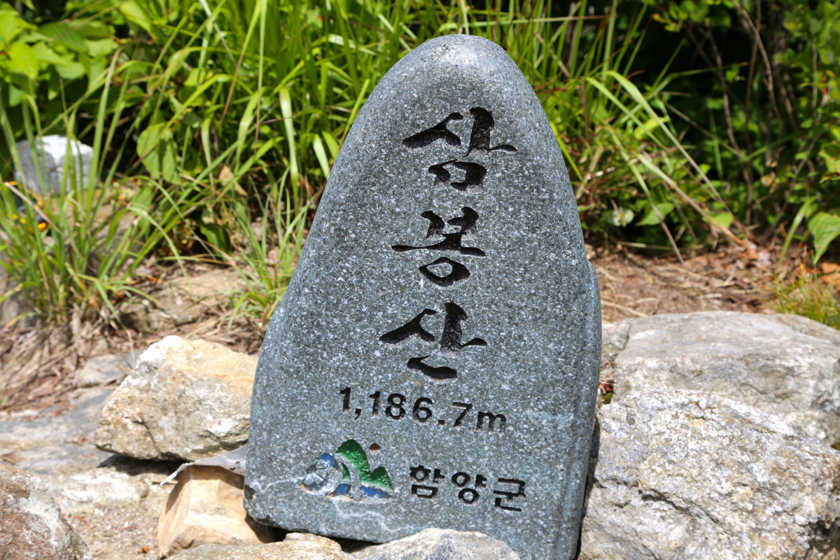
Jiri-san as well as down the ridge I had been following.
A large Korean inscription
as well as an official summit marker.
I left after 15 minutes and looked forward
to my return hike. I had not seen anybody, but to my slight surprise a small party
of Koreans were resting on the 1035 meter hump. No more people to be seen until
I arrived back at my car at 1255, so 1:15 for the return hike.
