How to get there:
First, travel to Jondal by ferry from Tørvikbygd. From Jondal, drive north to locate a forest/mountain
road that serves Grimestølen. This road forks right south-east of the mountain Samlen at location
N60.35606, E6.40429. This road may serve as a tollroad when open in the summer. In April (2024) the upper
part of this road was still under a snow cover and the road was closed with a locked gate near the
turnoff. There is parking available just after turning off the main road. This is the winter/spring trailhead.
The elevation here is near 260 meter.
Route description:
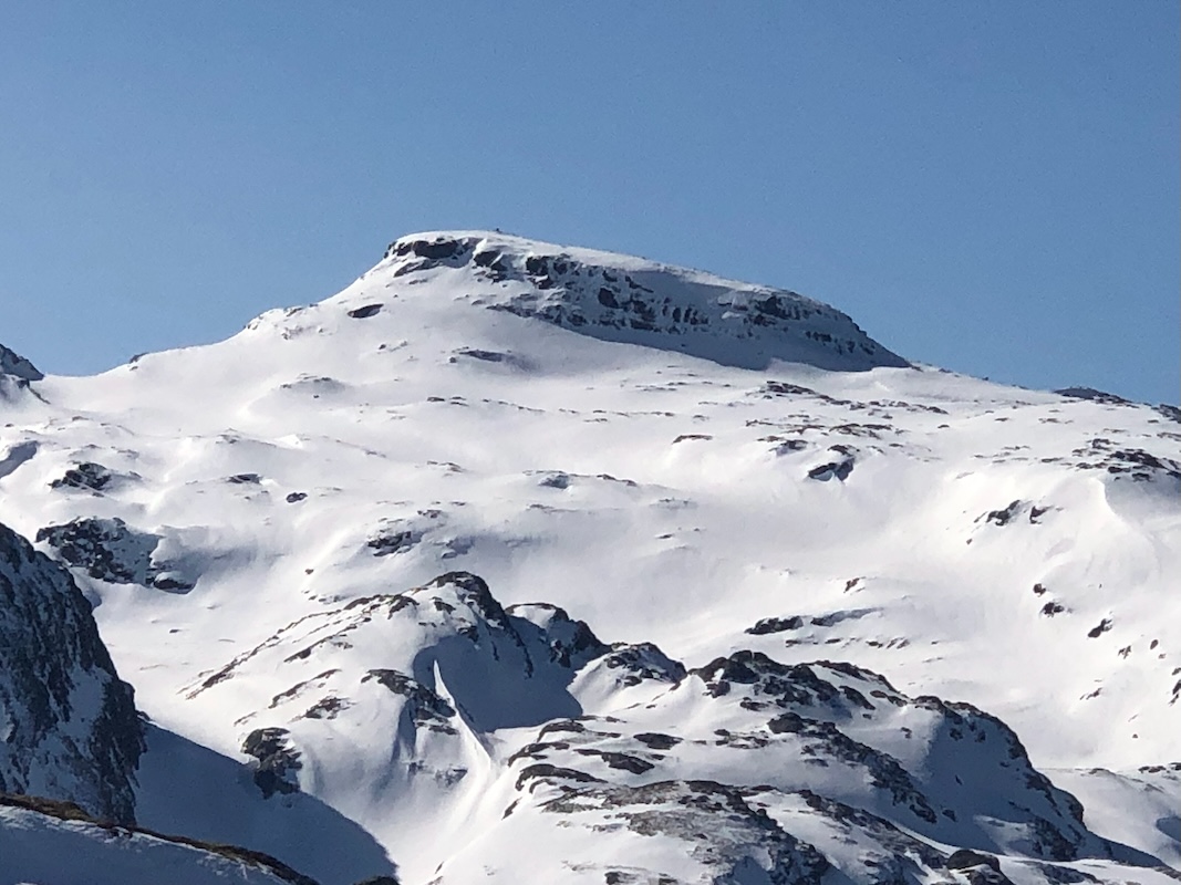
There are several variations that may be skied from the end of the road to Ruklehaugnuten. One option is
to more or less follow the summer trail that serves Samdalsstølen then continue to the north side
of lake Tostølsvatnet. From here, climb north-east, a pretty long hill that terminates close to the
summit.
Comments:
The forecast was very nice and Harald and I agreed to ski to Solnuten.
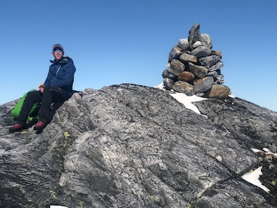
Ruklehaugnuten with a prominence of 101 meter, just barely qualifies as an independent mountain, but
certainly a location that should be visited along the way.
We started from half way up the mountain road around 0900. The weather was gorgeous. We arrived at
the summit after close
to 3 hours and 40 minutes. More details about this trip may be seen under
the description of Solnuten.