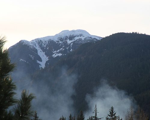
Location: North 59:15.852, West 135:31.214 (GPS at the summit)
Near Haines, Alaska
Difficulty: YDS class 2
Climbed May 12. 2011
Information:
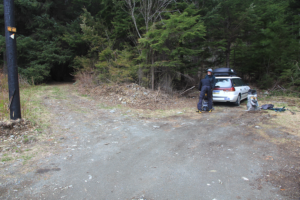
How to get there:
First get to Haines in Alaska. Then drive westward on the Haines Highway past the
one mile marker, and turn right onto Piedad road, go uphill until it ends. There
is parking for a few cars.
This is the trailhead, location N59:14.697, W135:28.580,
elevation about 80 meter.
Route description:
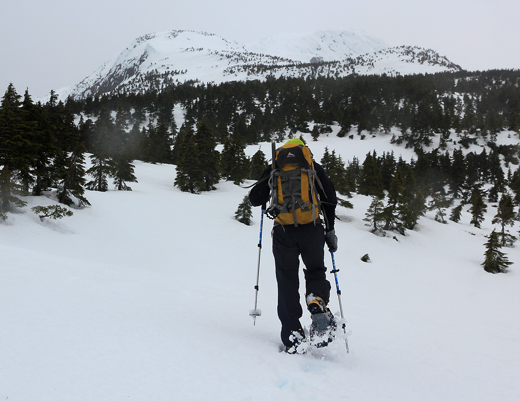
Head uphill along the trail. You may locate a small box
on a tree with a map (if you are lucky). Continue steeply uphill until
the crest of the main ridge. There are signs here telling that you have reached
the 2000 feet elevation mark. This is a trailfork, turn left and follow
the main ridge upwards.
Cross a small knoll, before climbing the steeper part of the ridge.
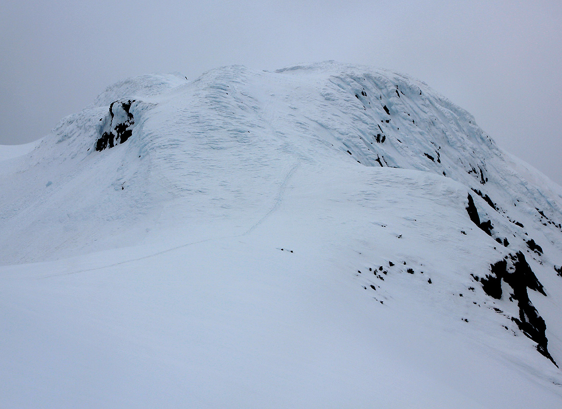
As you gain the more gentle terrain higher up, you will see the south summit slightly
left and the north summit straight ahead. Traverse right of the south summit and
climb the north summit which is the highest one.
There is a sign near the summit and
a summit register (in summer).
Comments:
I did this climb with Bryson Williams, age 20. We were stuck in Haines
waiting for weather to fly to Mount Fairweather.
We started from the trailhead at 1015,
made the tarilfork with the 2000 feet sign at 1115. We put on snowshoes and
continued to the north summit,
arriving at 1250. The weather was a bit foggy, some wind and some pretty horizontal
snow. We enjoyed a rest for 15 minutes and started descending at 1305. The descent
was smooth and we were back at the trailhead in 1:10, at 1415, thus the roundtrip
hike was 4 hours.