How to get there:
From Bergen, drive Hwy. E-16 to Voss (about 100 km), then continue past
Vinje (traffic circle) to Oppheim. Continue along the left side of
lake Oppheimsvatnet, still on E-16. From the location where you leave
this lake, drive about 1.5 kilometer more, then look for a road forking
right with a sign reading Brandset. Take this road, continue straight (uphill)
in a couple of road forks as the road climbs higher on the right hand side
of the main valley. About 1.5 kilometer after the last fork, you will find a parking
area on the right hand side of the road. Immediately thereafter, the road
crosses a small creek on a bridge, there is a gate here. Just park at the parking lot,
this is the tarilhead, location N60.77831, E006.70009, elevation about 570 meter.
This area is a military range, if there is military activity, then check the
route with some authorized person in order to avoid conflicts. The military seems
quite friendly and helpful co-existing with outdoor activities.
From Bergen, drive Hwy. E-16 to Voss (about 100 km), then continue past
Vinje (traffic circle) to Oppheim. Continue along the left side of
lake Oppheimsvatnet, still on E-16. From the location where you leave
this lake, drive about 1.5 kilometer more, then look for a road forking
right with a sign reading Brandset. Take this road, continue straight (uphill)
in a couple of road forks as the road climbs higher on the right hand side
of the main valley. About 1.5 kilometer after the last fork, you will find a parking
area on the right hand side of the road. Immediately thereafter, the road
crosses a small creek on a bridge, there is a gate here. Just park at the parking lot,
this is the trailhead, location N60.77831, E006.70009, elevation about 570 meter.
This area is a military range, if there is military activity, then check the
route with some authorized person in order to avoid conflicts. The military seems
quite friendly and helpful co-existing with outdoor activities.
Route:
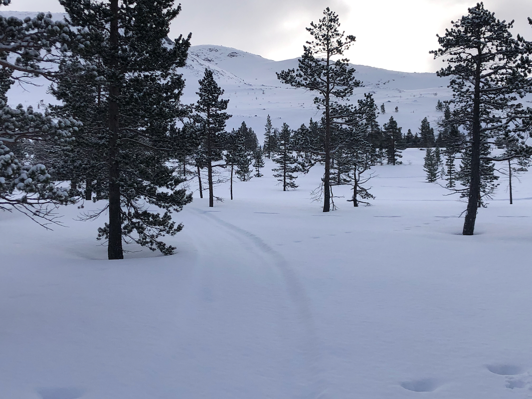
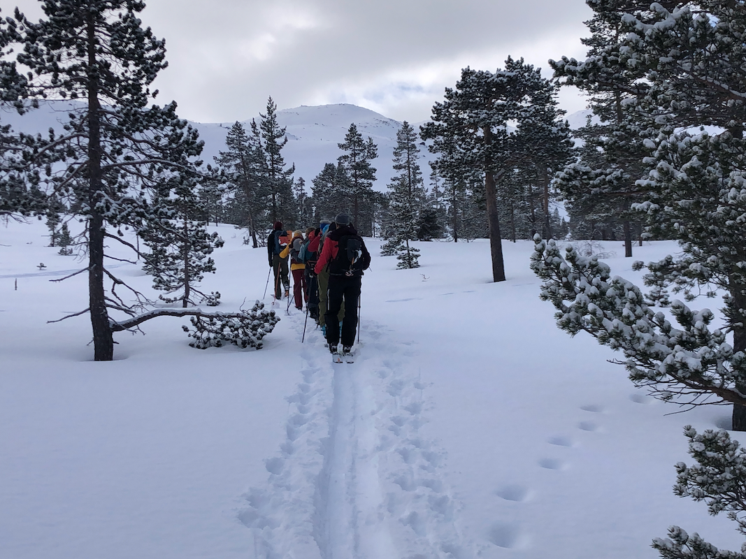
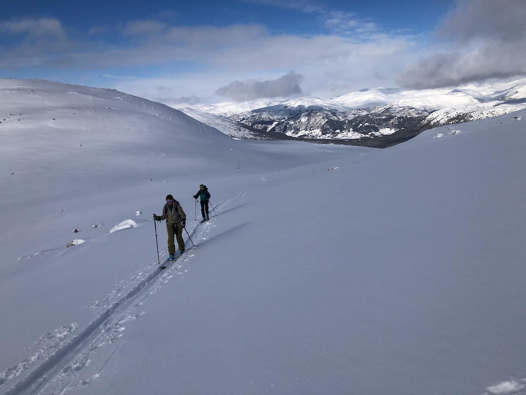
From the parking, first ski along the road passing the military storage, about 2 kilometer
mostly gentle uphill until reaching about 690 meter of elevation. Leave the road here
and ski directly towards Grodjuvevatnet,
elevation 1028m. The first part is pretty flat
among sparse pine trees, then more steeply
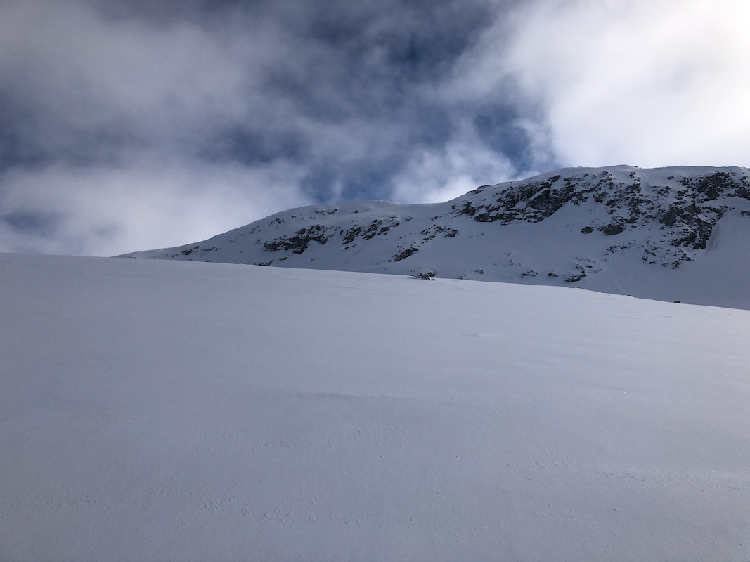
uphill. Before reaching this lake turn left
and ascend the nice slopes
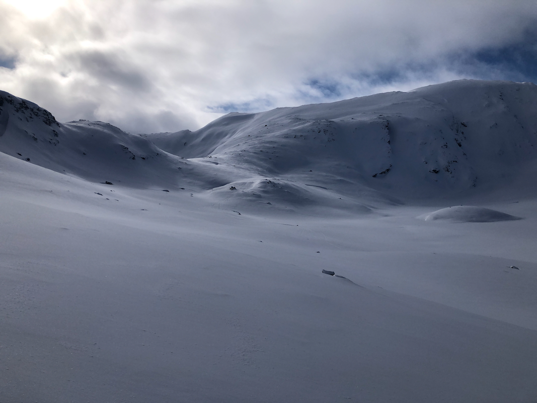
to reach the local col at about 1200 meter located north of the peak.
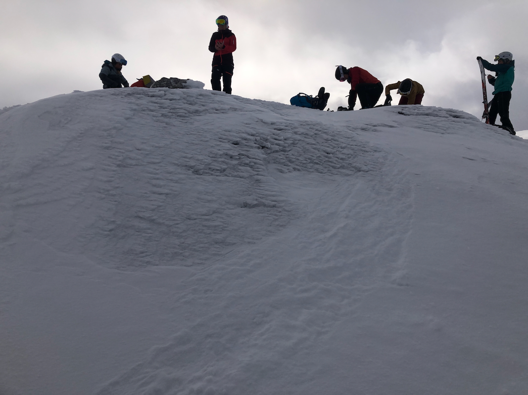
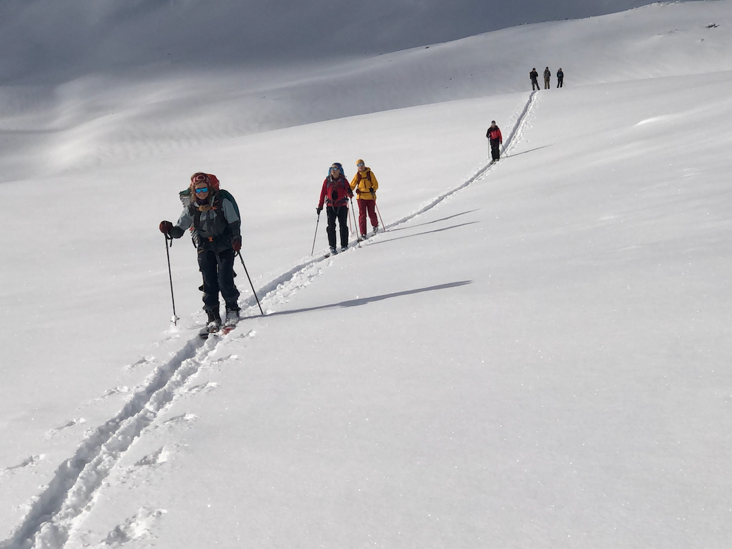
Turn south and complete an easy ascent to the summit. There are two summit points, the highest
is the one to the south (the second point).
Comments:
I did this trip as winter trip leader for a group of 6, organized by the
mountaineering club (DNT) in Bergen.
We left Voss shortly after 0900, ready to ski around 1000.
Arrival on top around 1230,
left top around 1250. Return to car
around 1330. Skiing was good, fresh, dry snow last night, nice powder
skiing.
