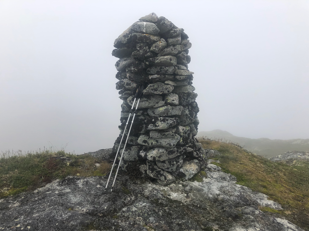
Location: North 60.80325, East 006.11812 (GPS at the summit)
Stølsheimen, Norway.
Difficulty: (YDS) class 2
Climbed July 31. 2022.
Information:
How to get there:
Drive Hwy. E-16 to Evanger. This is about 20 kilometer from Voss in the
direction to Bergen. Measure from the exit to Evanger. Cross the narrow bridge
and continue left. Drive 12.2 kilometer, going uphill,
make a sharp left direction Eksingedalen. The road crosses a local
mountain pass before descending to Eksingedalen.
The road is
narrow and there may be
quite a bit of snow, so drive carefully.
At kilometer 23.4 you are down in the valley at
a place called Nesheim.
Turn left and drive about 3.2 kilometer. You should find parking off the road
on your right hand side in a left curve. The location is
N60.78959, E006.11445, elevation about 415 meter.
Route description:
Walk a bit further along the main road. You should ascend along
the right hand side of a farm field, this place is close to
a few traffic signs on the road. You should cross a small creek
just before going right. There may be a small stick with blue
paint a short way from the road. Continue uphill and locate a
gate that may be opened (close it behind you!). From here, the trail
as well as the trail marking is quite a bit better.
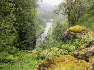
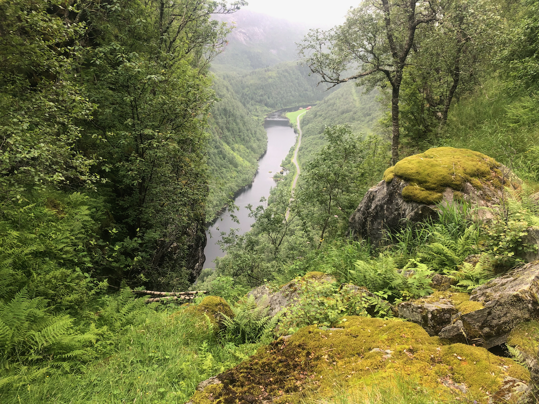
You first arrive at a grassy area where the ravine Gygrakjeften may
be visited, a short side-trip to your left. Continue straight, higher
up there is a trail fork (no sign), go right up a slope also with grass.
There are a couple of red marks to show the way.
Higher up, the trail zig-zags in order to pass some local cliffs, it is
important to follow the red
Comments:
I did this climb with my friend Harald. We started at
1205 and arrived on top
at 1330. The trail was somewhat hard to
follow in the upper part of the route.
Unfortunately, the fog was still pretty heavy above 800 meter.
We descended back down in about
1:15, including a small side trip to view the steep ravine
called Gygrakjeften.