Location: South 40.16946, West 073.48332 (GPS at the summit)
Chile
Difficulty: (YDS) class 1
Climbed January 27. 2015.
Information:
How to get there:
This hill is located southwest of the city Valdivia and northwest of the town La Union.
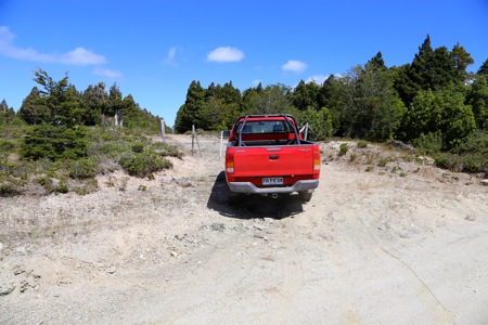
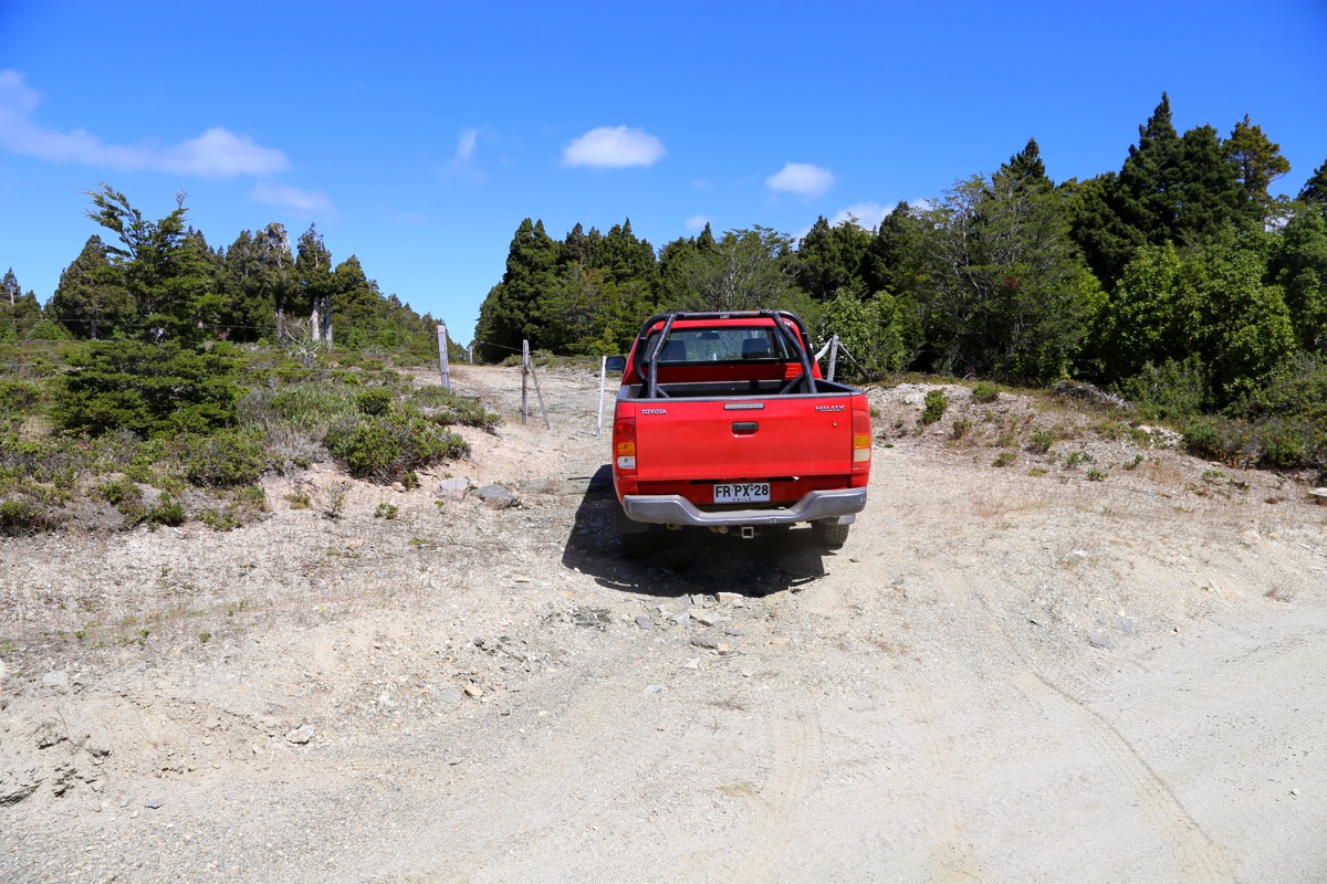
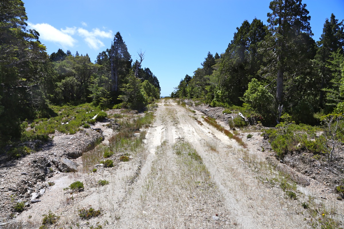
The top of the hill is accessible by a 4WD vehicle. Most of the road can be driven by a normal
car, however, the road has some bad spots in the last few kiometer before the summit.
There are several possible ways to drive there, all involving unsigned dirt roads. There are lots of
logging roads in the area that may contribute to confusion about the road. The description under
"Route" below, is the best and highest quality road to the summit.
This is a quick summary and reference to climbs made on this trip.
Route description:
Here is a map showing where we drove.
Note that the best route to this hill is described below (see also green markers on the map).
The starting point (set odometer to 0.0 here), is a 4-way intersection in the town of La Union.
This intersection has no signs, the coordinates of the intersection is S40.30096, W073.08531.
One way to locate this intersection is to start out from the main town park. We define that the church
is located on the west side of this park. From the southwest corner of this park, drive about 600 meter
south to locate this intersection. Unfortunately, the street going from this corner of the park to the intersection
is a one way street going in the opposite direction. Drive there on a parallel road.
The first 10.5 kilometer of this road is paved. The road has some small signs saying T-80, but they are few
and far between. Typically, there are no signs in any road intersection.
A rough guide based on the distance from the key intersection in La Union is as follows:
Keep left at kilometer 3.6
Pavement ends at kilometer 10.5
Go straight at kilometer 11.3
Keep right at kilometer 13.9
Go straight at kilometer 19.4
Go straight at kilometer 20.0
Keep left at kilometer 23.0
Park information at kilometer 44.5
Summit area at kilometer 52.0
Comments:
We got very good advice from Jonathan de Ferranti, this peak provided motivation to get off
the motorway and explore some of the countryside. Unfortunately, there was a major mismatch between
our roadmap (1:400.000) and the map we downloaded from Jonathan (1:50.000).
We tried to connect with the local map via a signed road to Santa Elisa, northwest of the town named La Union.
This was not very successful, we established a GPS waypoint on a road that crossed out east on the local map,
then tried to find it. This got us onto some really bad logging roads, very happy to have a robust Toyota Pickup!
The logging roads at least partially, were not present on the local map. We changed strategy and started picking
roads in order to get closer to the summit of Mirador. This led to success, in the sense that we eventually
came across T-80, the road that actually crosses over the summit.
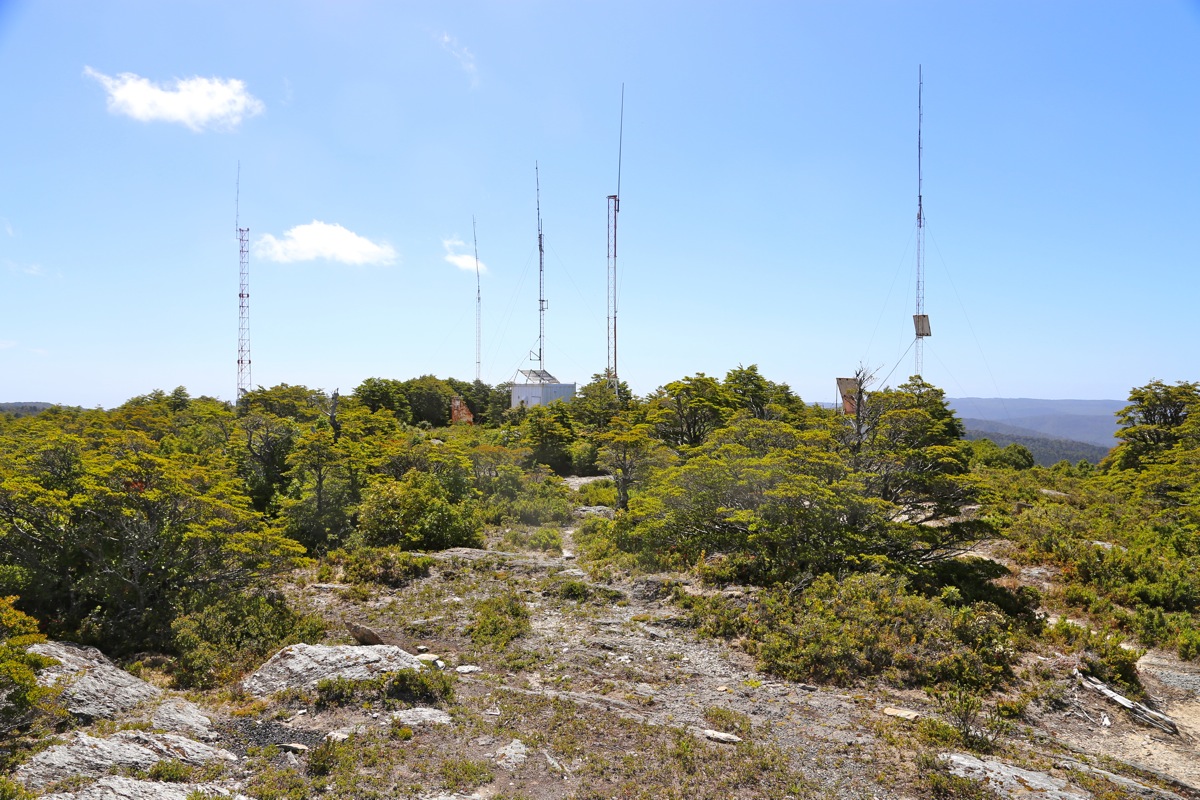
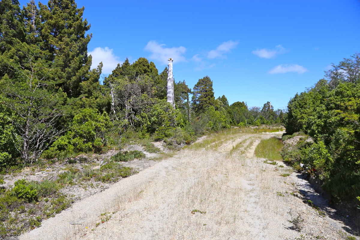
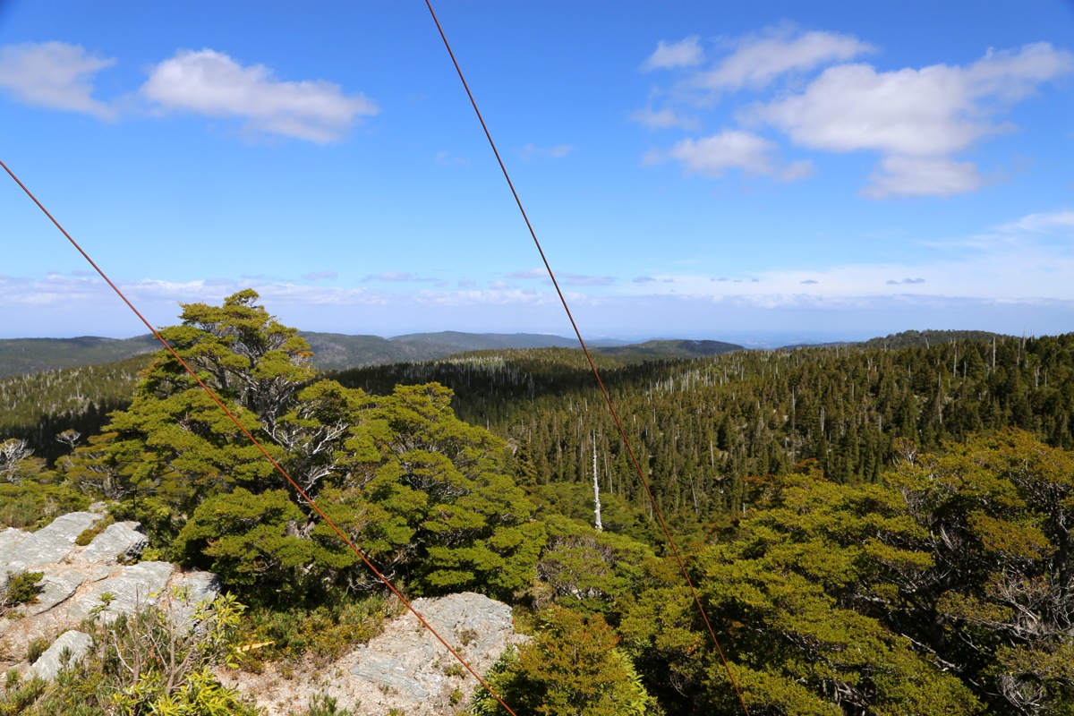
The next problem with this visit was the fact that no unique summit point could easily be identified.
The summit plateau is very
flat and pretty much filled up with dense vegetation, incuding trees.
The east end, from where the
road enters, has a bunch of antennas and
a small side-road serving them.
This area looks most like a summit.
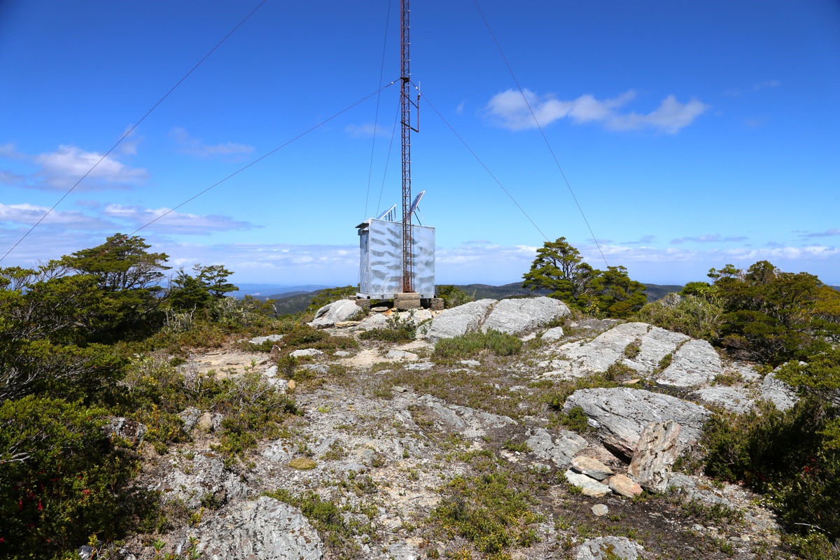
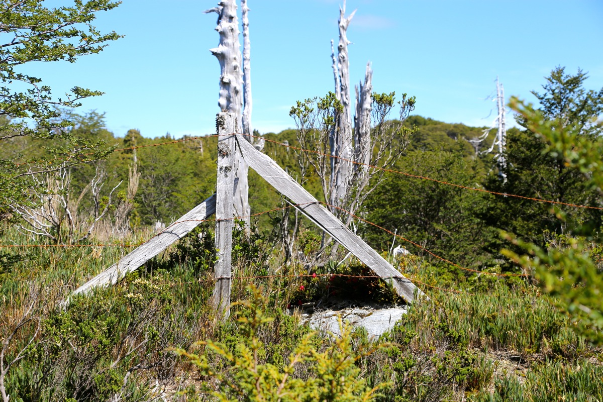
Further along,
there is a second side road,
serving a few other antennas. This road was closed off with a fence, but
we walked it across
the plateau. It is possible that the highest point is located
here, but my GPS could not provide significant measurements.
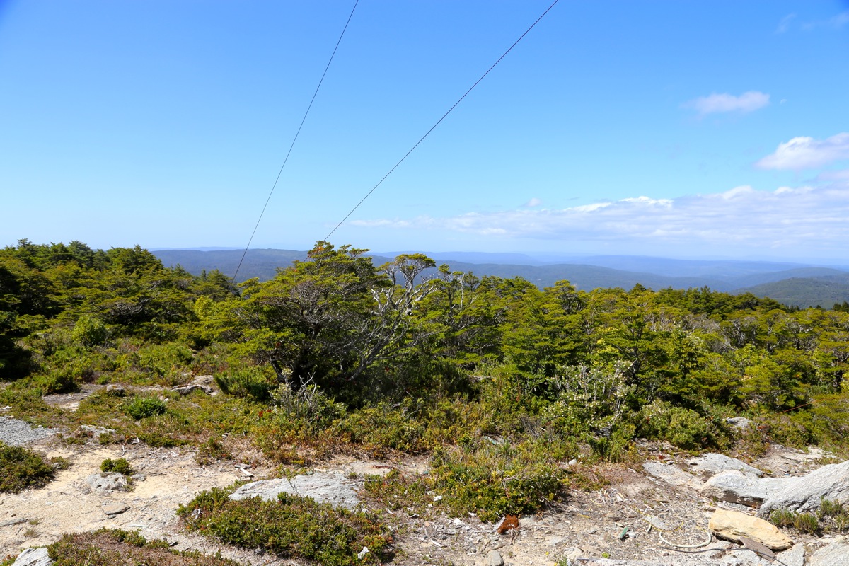
A bit further onwards, is a sign saying Mirador.
Unfortunately, this sign just points into very cumbersome
terrain with dense vegetation.
I walked off in this direction for about 30 minutes, hoping to discover
some sort of highpoint. Nothing but forest and bushes. My GPS did not even think this was a candidate for
being highest. We completed the exploration by driving until the road clearly started a descent.
Thus, we traversed the area from east to west, we also walked across the middle of the plateau from north to
south. We never located any unique summit point, but we feel confident that no significantly higher
terrain exist.
We decided to drive back following what appears to be the only consistent road of reasonably quality. This road
led us directly back to the town of La Union, in fact, we ended up in an intersection in La Union that had no
signs whatsoever.