Location: North 36.61338, West 004.65933 (GPS at the summit)
Difficulty: YDS 1
Attempted September 14. 2016.
Climbed September 15. 2016.
Information:
How to get there:
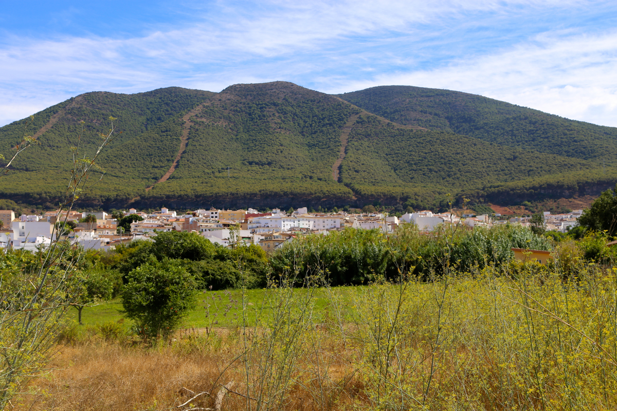
This mountain is located near the coast between the cities of Malaga and Marbella.
From the center of Malaga, head west on Hwy. A-357, take exit 48. Head south, direction
Marbella on Hwy. A-355. Exit in a long uphill where the sign says Coin, turn left
(go under the Hwy. you exited) and follow this road to the village of Alhaurin el Grande.
This is done by going straight in two traffic circles, then turning right at the next two
signed intersections, both in uphill streets.
The last turn is a small traffic circle. You then exit the village and drive a short
stretch to a new traffic circle where you take the uphill exit (half left). Then, very
shortly, a small dirt road forks left. Turn off the Hwy. here and park without
blocking. This dirt road serves the summit,
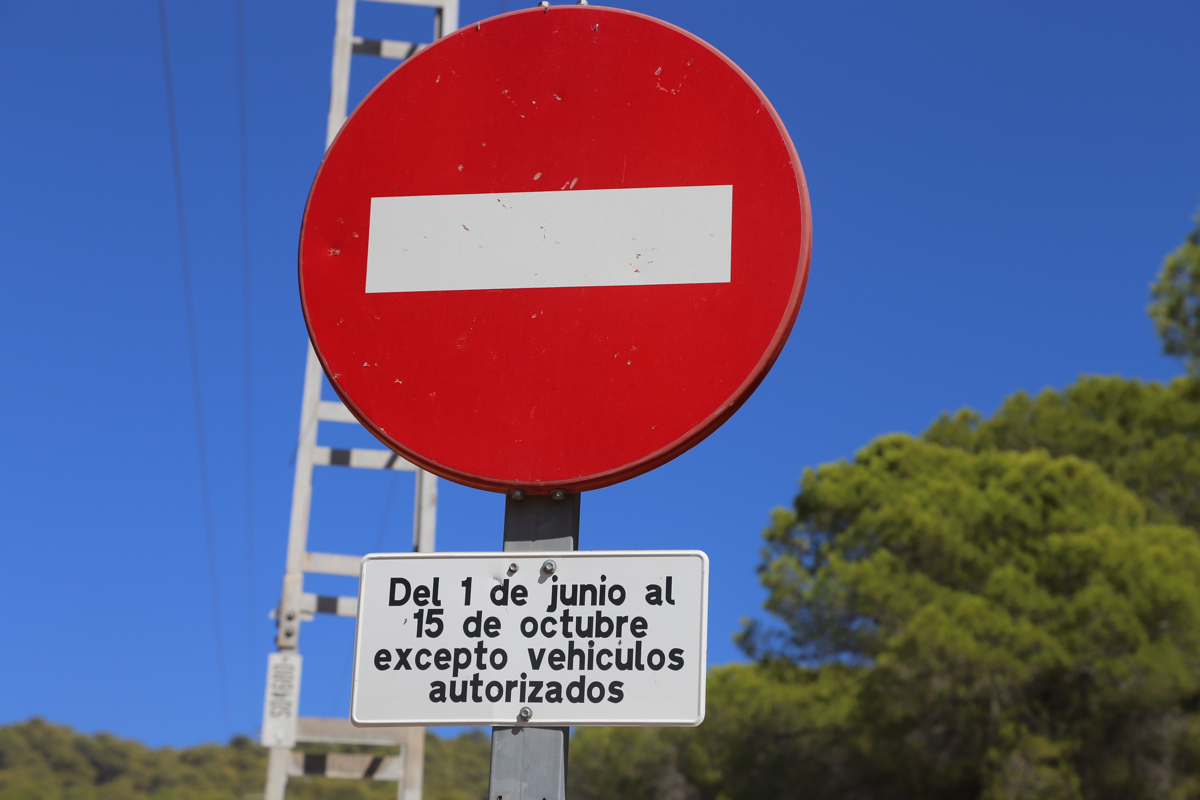
but is closed to traffic in the summer
season. This location is N36.61757, W004.70648, elevation about 325 meter.
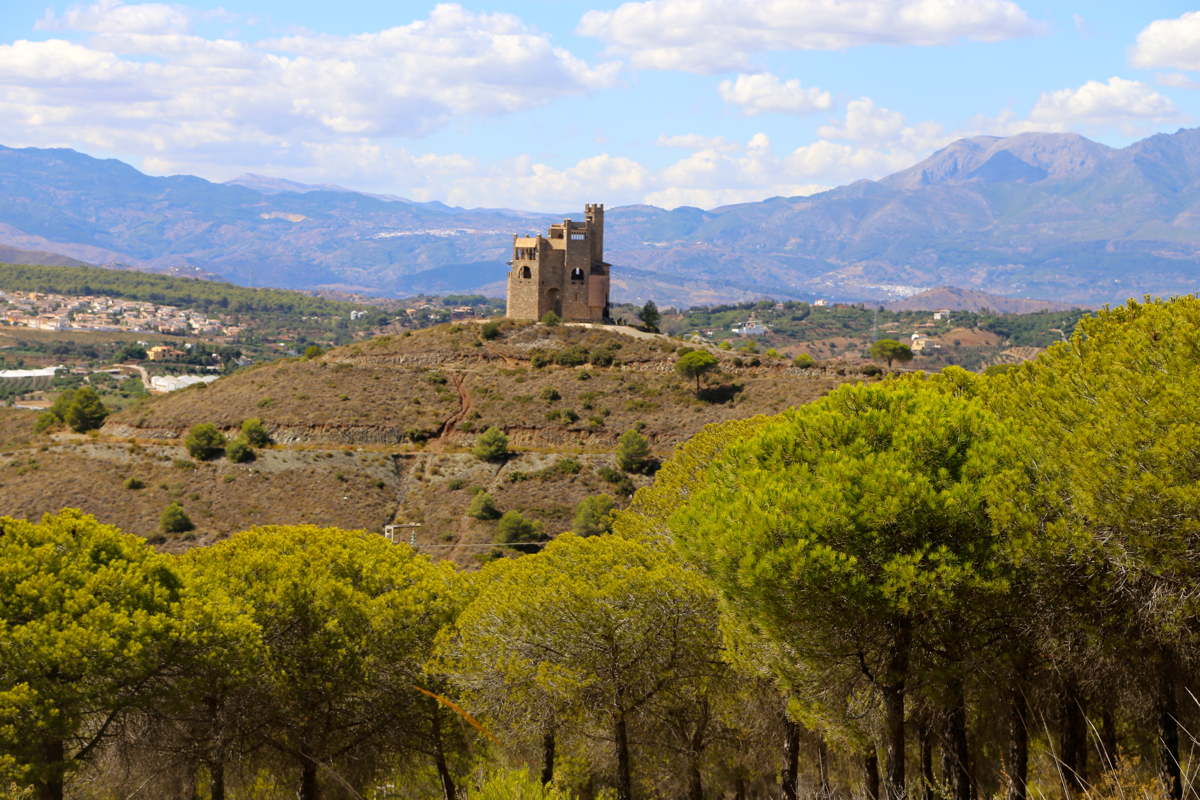
An old tower,
located near the last traffic circle, is easily seen from the
lower part of this route.
Route description:
There are several trailheads and possible routes. This description is a pretty
direct route to the summit from the west.
See additional trip reports and the description of a good route from the south-east in
Peakbagger.
Comments: September 14:
I had a couple of hours after our administrative seminar and before dinner.
I set out to explore this hill, with little prior knowledge. No map, no
trip reports, I did not even know its elevation.
Parked at the trailhead, I estimated that I could walk for at most 2 hours.
I soon came to the trailfork with the cairn, what to do? I decided to go
right. The trail was
pretty nice and it continued uphill. However, I soon
got a view telling
me that a considerable vertical distance remained. Then,
after some rather horizontal sections of the trail, it started going
downhill. Bad news, I already knew that I would run out of time, but
at least this discovery convinced me that a second try should pick
the left fork at the cairned trailfork. I was back at my car around 1600,
it had been a nice 1.5 hour hike despite not quite finding the correct path.
September 15:
Another break and my second attempt. We had a later dinner today, so
more time. I figured I could use as much as 4 hours, maximum, to climb
this peak. I had also checked out the elevation, to my surprise it was
1150 meter, considerably more than I had guessed.
I left at 1440 and picked the left fork at the cairn. This trail
continued pretty much horizontally and even had some descending sections.
Time was running and I was getting a bit frustrated about the lack of ascent.
Finally, after 40 minutes of pretty fast walking, I hit the summit road.
Following this was easy, but a considerable distance remained before I made
the summit at 1635,
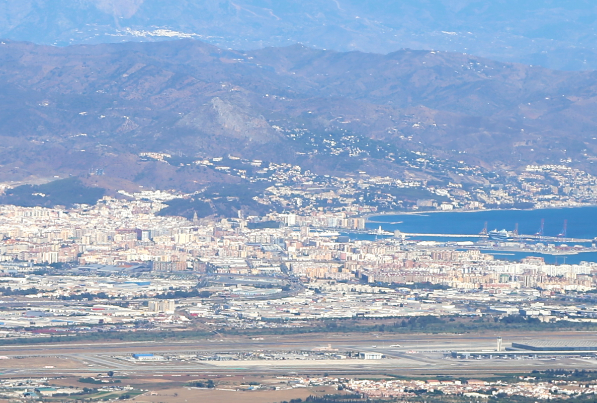
almost 2 hours to get here. Good views across to
Malaga,
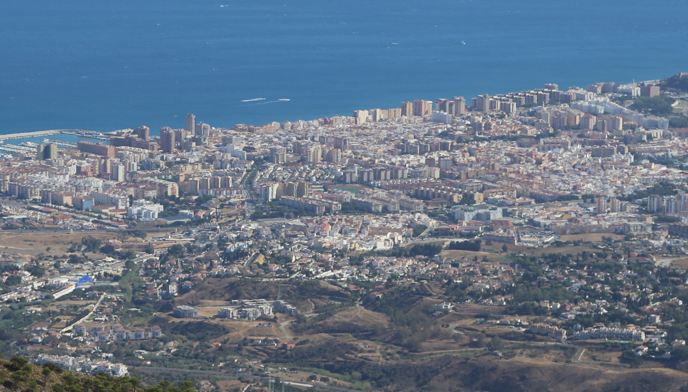
even better more directly down
to Fuengirola at the coast.
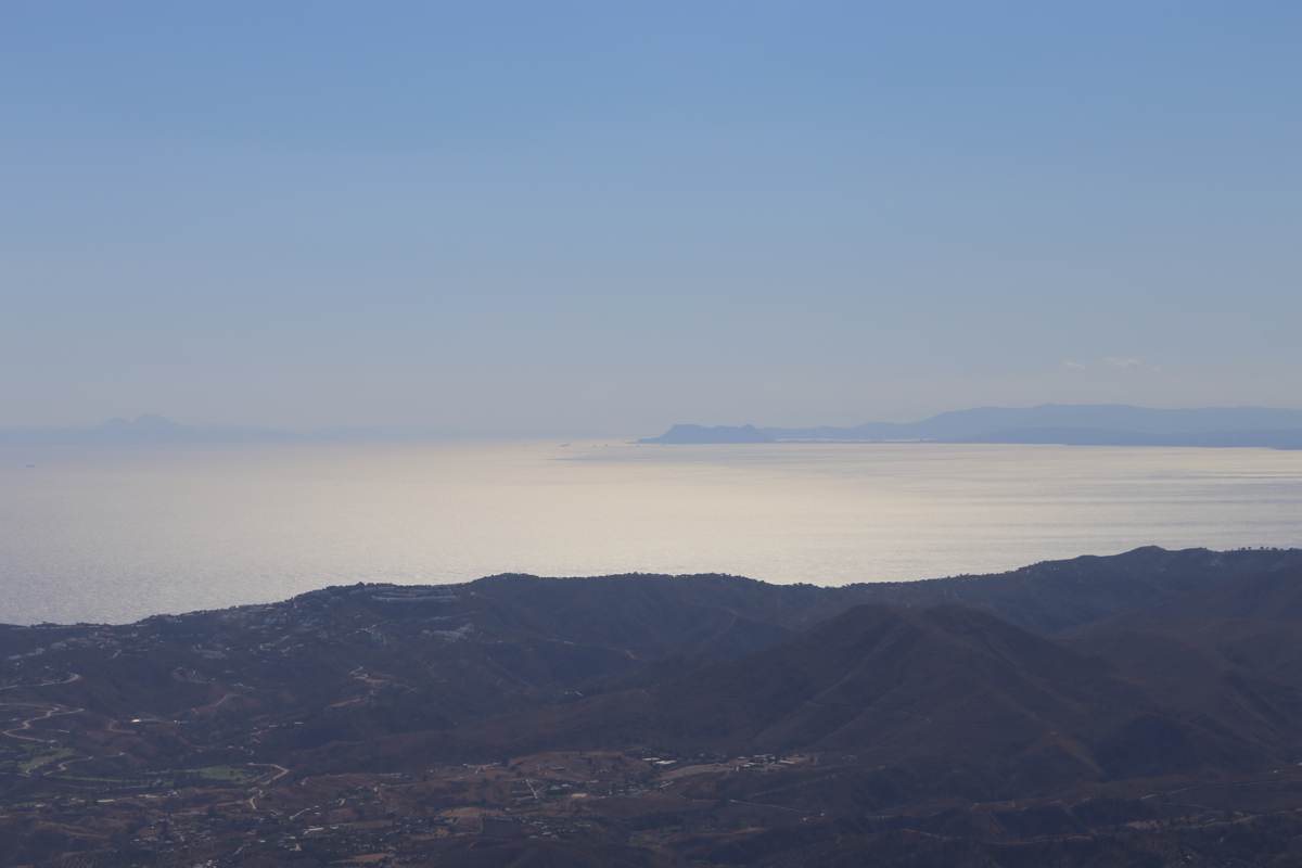
The view towards Gibraltar
was a bit more affected by haze.
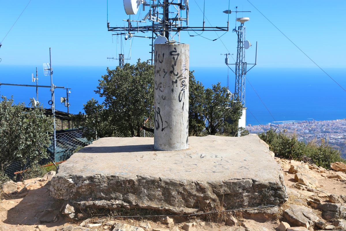
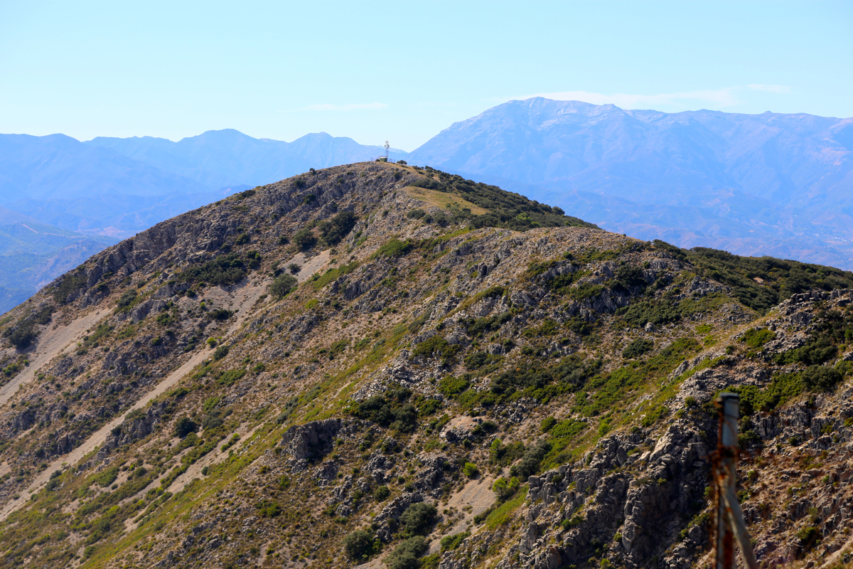
There is
quite a long summit ridge
with another high point at the far end. The maps
says it is slightly lower. I did look across the flat top of the trig. pillar,
it seemed to confirm that where I was is indeed highest.
I left after 10 minutes, after following the road back to the west side, I realized that
I probabely could walk down the clearing in the vegetation and connect with
the trail I had walked yesterday. This would certainly make the route much
shorter if it worked. I decided to try it. The descent was easy, small traces
of faint trails and perfectly good to walk.
Thus, the descent took 1:15 and I had discovered a better route, a combination
of the hike yesterday and the experience gained today.
