Location: North 62.46029, East 007.44103 (GPS on the summit.)
Romsdal, Norway
Difficulty: (YDS) class 2
Climbed August 3. 2020.
Information:
How to get there:
From Åndalsnes, drive towards Å:lesund. Shortly after you exit the more than
6 kilometer tunnel, turn left into the valley at Innfjorden. Continue up a nice, but narrow
paved road to location N62.44707, E007.48672, elevation about 100 meter. There is a toll
road that continues from here. You need a credit card for payment (NOK 90 in 2020). Continue up the hills
to the upper valley. Drive past a small lake and continue to a road fork where the right branch
crosses the river on a small bridge. Find parking (off the road) near this location,
N62.43513, E007.41142, elevation around 390 meter.
Route description:
The trail starts immediately, next to the bridge. It is signed for Tindevatnet. First, the trail heads
a bit downstream staying close to the river. Next, cross some meadows before the uphill starts.
The trail runs fairly directly uphill to the col separating Middagstinden from Nonstinden. The lake
Tindevatnet is located close
by on the other side of this col.
Descend towards the lake, but go right along some natural ramps that stay about
10 meter above the lake. Contour around to reach the slope to the col that is
located on the Middagstinden side of the small (943m) hill that is located between the
two big peaks. Continue uphill along the ridge above the lake. Contine uphill, the
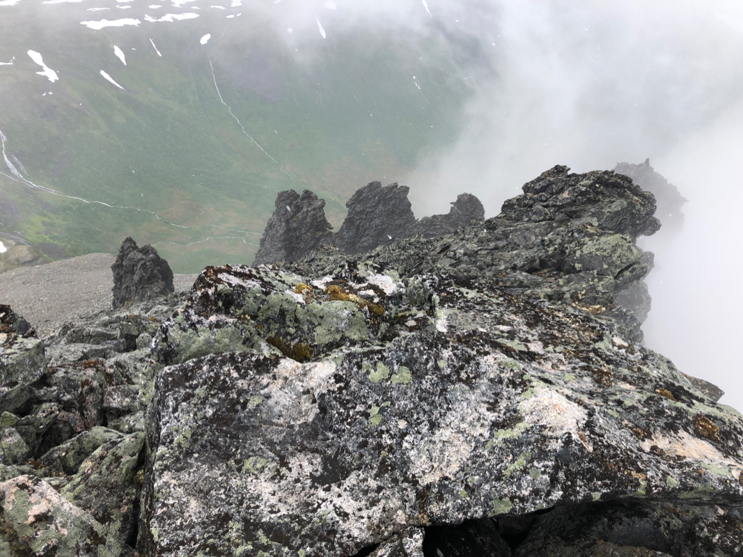
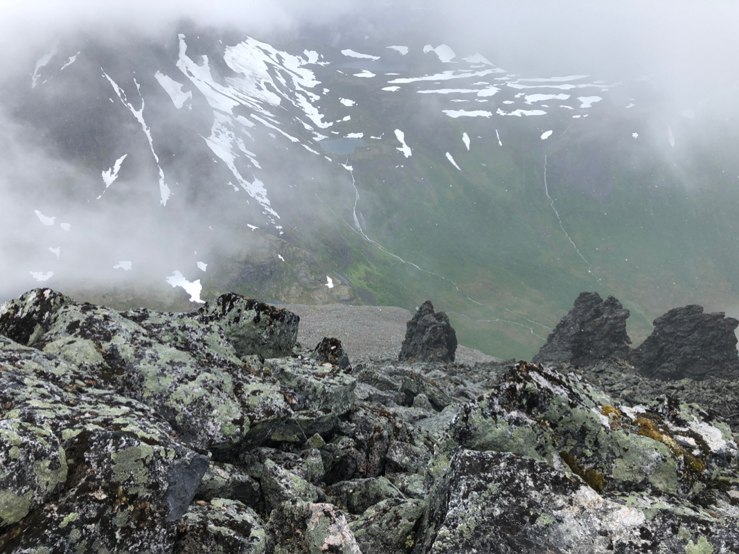
vegetation will gradually run out and pretty large sections of talus are
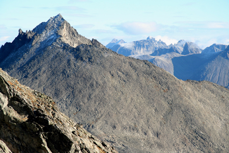
unavoidable. The summit ridge is jagged and has several false summits. Thus, one
should stay below this ridge and climb while traversing left. The summit is pretty
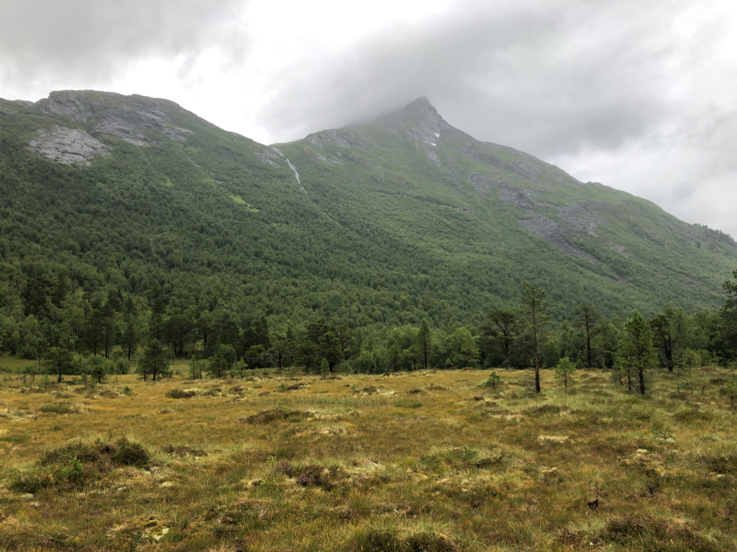
distinct, the cliffs facing east are near vertical.
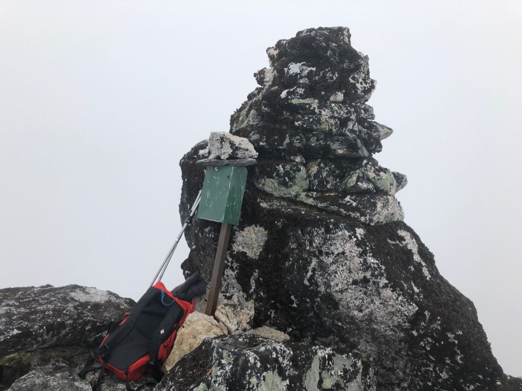
There is a nice cairn
on the very summit top. A summit register is also there, placed in a green
mailbox.
Comments:
I left our hotel in Valldal shortly after 0600. I met only 2 cars when driving across
to Åndalsnes. Arriving at the beginning of the toll road - bad news indeed.
I had (by mistake!) left my credit cards behind at the hotel, but I always have cash in
the car for paying self serve mountain toll roads. This road was now equipped with an
automatic gate and it would only open if you charged a credit card with NOK 90. It was
raining pretty hard and morale touched a minimum for the day. The climb just got about
10 kilometer longer and also got more elevation gain.
I started from the toll gate around 0745 and made it to the trailhead where I should have
started at 0835, quite ok. Along the way, I observed at least 30 cows bypassing a cattle guard
by taking a swim in the lake, they seemed quite happy with making an excursion higher
up in the valley.
I gained the col to lake Tindevatnet and noticed that the rain was less intense, all good.
Still, a big cloud was wrapped around the higher part of the mountain. My route was less than
perfect as I gained the main ridge too early. This ridge had what looked like several false
summits and to scramble along it took more time than an ascent staying well below until near
the true summit.
Summit at 1150, so rougly 4 hours. The rocks were all slippery and I knew that descending would
take at least as long. Not much to see, I signed the summit register and started back down.
The descent was uneventful, but slow. Back at my car at 1615, so slightly longer going down.