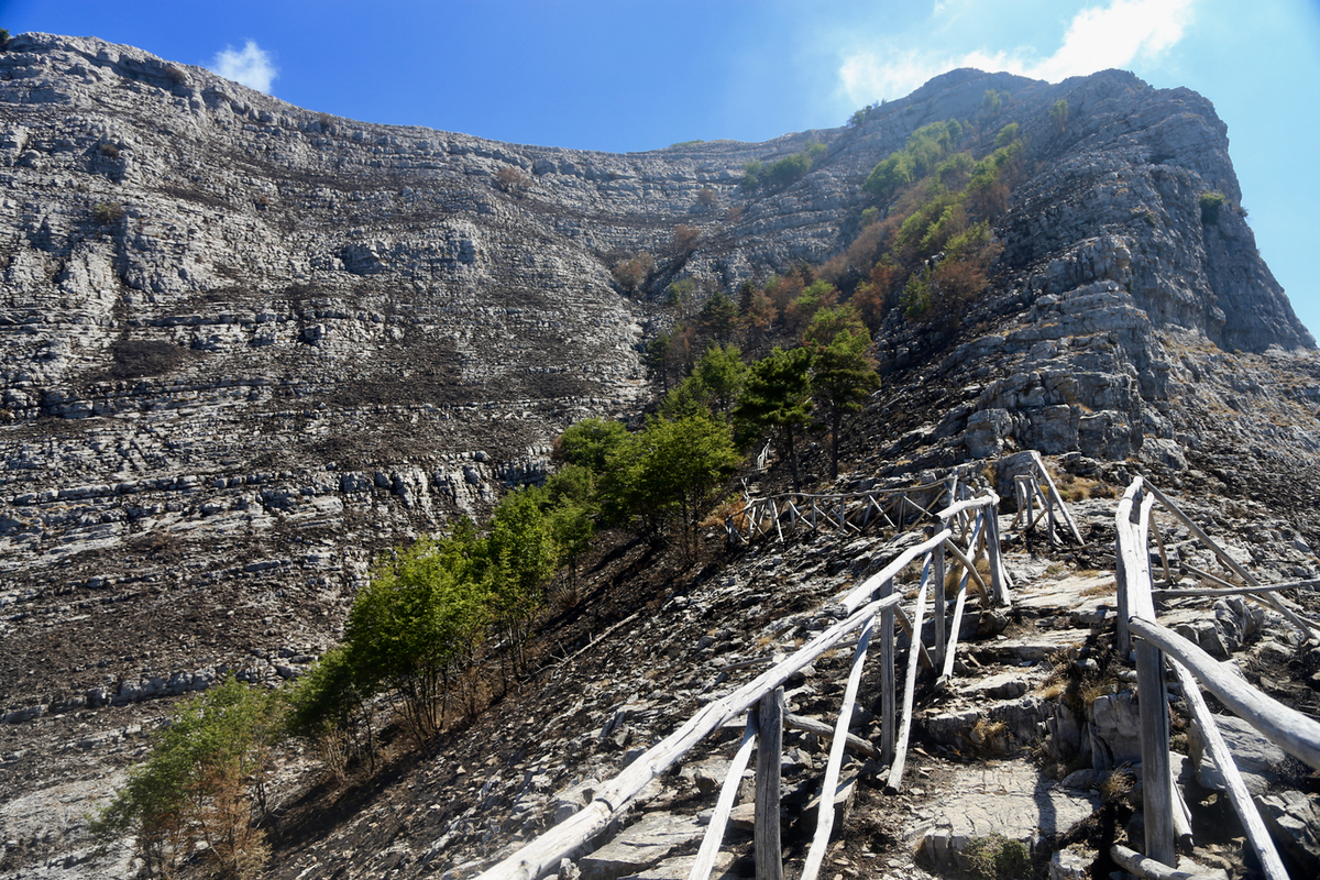
Monte San Michele (Monte Molare)
- Monte San Michele (Monte Molare)
- 1444 m.
- Primary factor 1248 m.
- Italy
- Location: North 40.64748, East 014.50584 (GPS at the summit)
- Difficulty: (YDS) class 1.
- Climbed July 28. 2017.

Monte San Michele (Monte Molare)
|
|