Location: North 66.18409, East 014.84173 (GPS at the summit)
Difficulty (YDS) class 2
Climbed May 3. 2021
Information:
How to get there:
From Mo i Rana (on E-6), take E-12 towards Umeå (Sweden).
Drive through the 3.7 kilometer tunnel, then shortly after exiting,
find parking on your left hand side. This location is
N66.16924, E014.58236, elevation about 550 meter.
There is also limited parking immediately after you exit the tunnel.
The two locations are both excellent trailheads.
Route description:
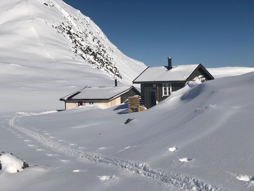
This route runs by the DNT self-serve hut Sauvasshytta. A good option is to ski there
the day before, then climb Melkfjellet the following day.
From the trailhead, ski north (pretty much back towards the tunnel), then up
the small valley - Tverrbekken. Continue to near the col, then traverse right, ascending
gently to the north-east in order to reach the west side of Vestre Sauvatnet (843m).
Continue up the valley (south) to reach Sauvasskardet and then the DNT hut immediately
before the lake Østre Sauvatnet (957m).
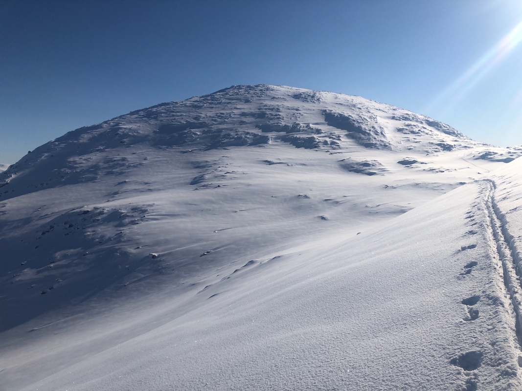
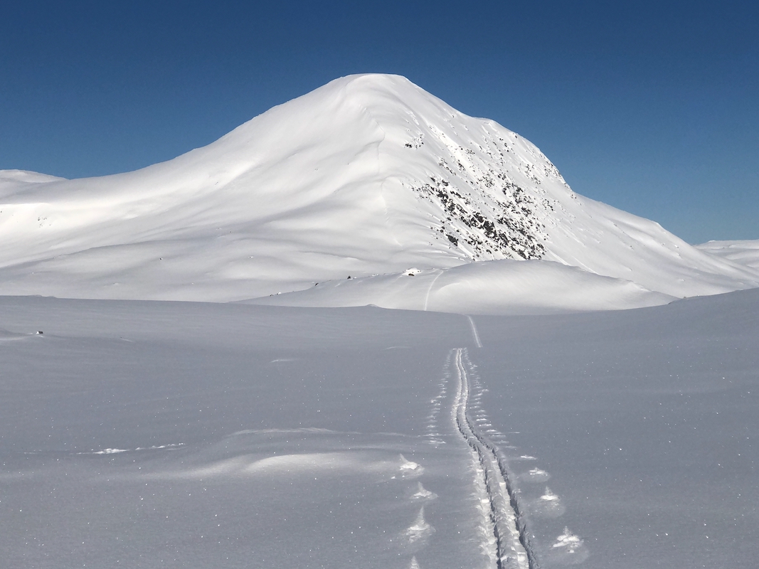
From the hut, ski east up the valley towards the peak, then climb the ridge on the south
side of Ivakskardet. Continue up this easy ridge until you reach about 1240 meter of
elevation, then contour into the col just south of the summit.
This last slope is more steep
and one should consider possible avalanche danger carefully. (One may be able to avoid this
by entering the small valley somewhat lower down.)
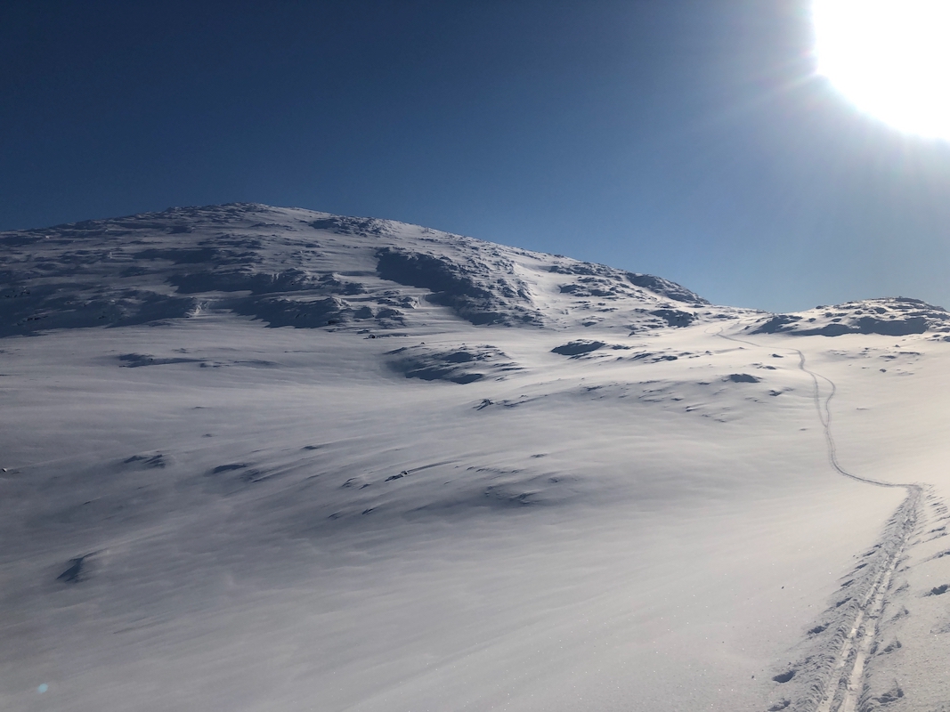
From the col, zig-zag up the first, steeper part of the slope, then cross right and enter
smooth and easy slopes that will extend
all the way up to the summit. Comments:
I decided to use my last 2 days in this area to ski Melkfjellet. A late
check-out from Reinfjellhytta, I decided on an easy day - then a short drive before
the 10-11 km ski to Sauvasshytta.
I left my car around 1230 and without paying much attention, skied too much eastward
ending up in the basin of the creek Glonkabekken. I then realized my mistake and
skied up near the small creek draining lake 692m, north-east of point 740m. I then
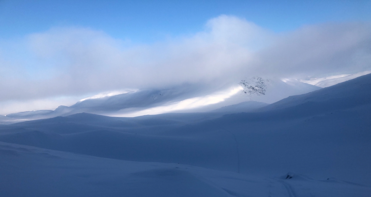
got back on the proper route and also lost visibility due to some local
snow showers. I continued with somewhat variable conditions, mostly very limited
visibility, to the DNT hut Sauvasshytta, arriving there
around 1630.
The next morning, I first went outside at 0500, observing that the thermometer
read -29C! Very cold indeed for being May. Breakfast, then an extra layer of
clothing, before starting out at 0600.
It took me 1.5 hour to the summit, good snow and
good weather. The sun was warming, despite the low temperature.
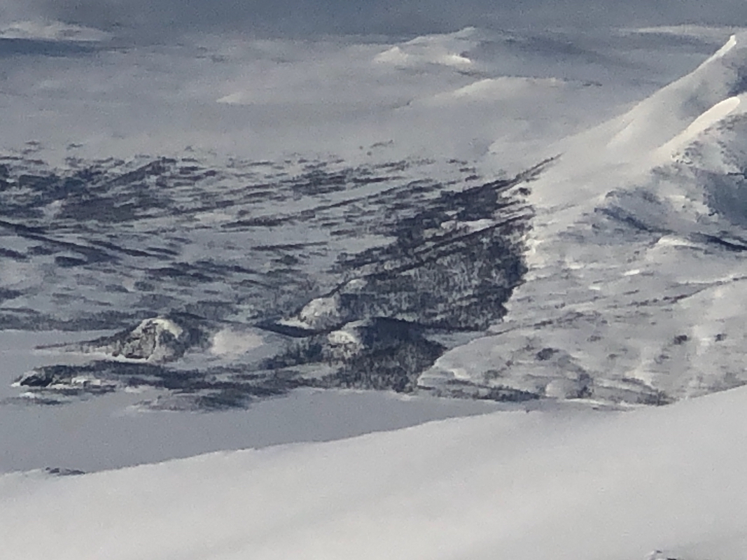
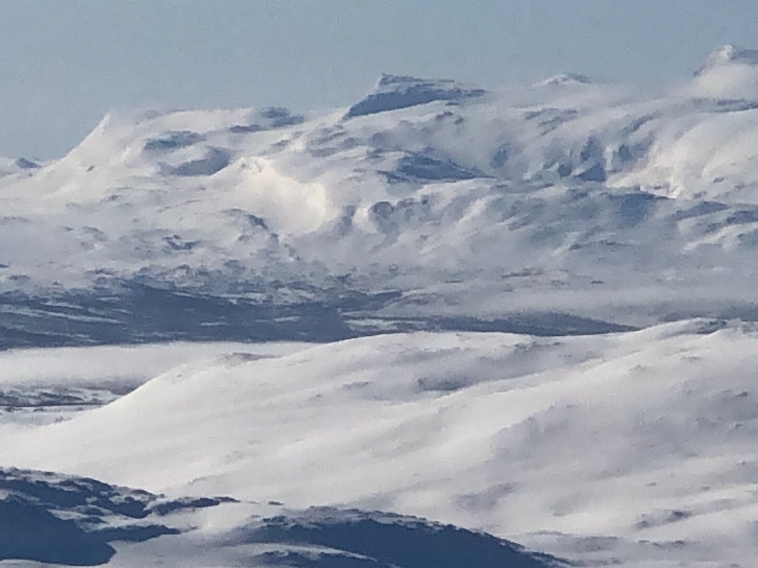
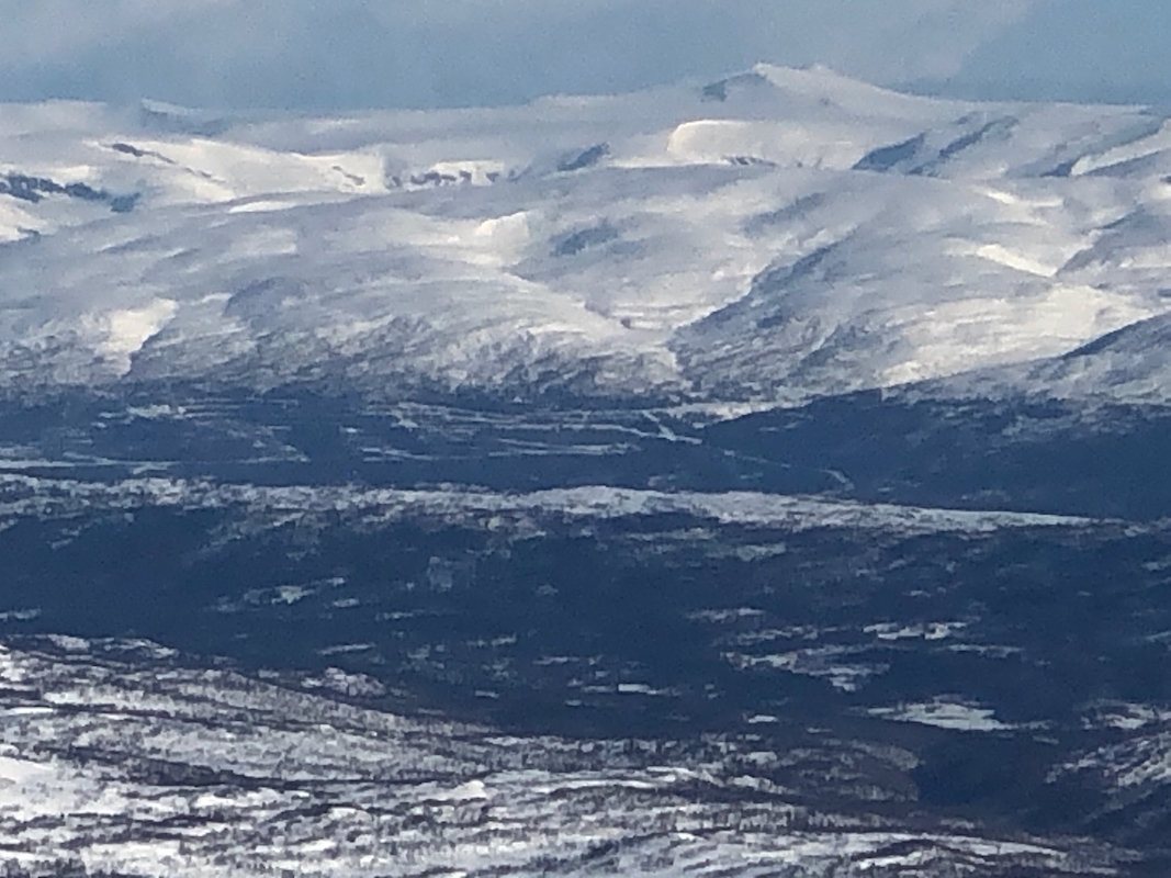
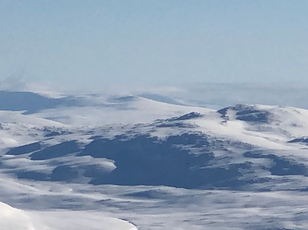
Good views all around, I could see across to Gresfjellet where I had been 2 days earlier.
Still, the most impressive view was south to Okstindan.
The return ski to the hut took 45 minutes.
After cleaning up, I left at 0935.
The ski tracks from yesterday were all gone,
the ski back down the valley promised
to be good. I was back at my car by
1145, so only slightly more than 2 hours.
I drove back to Mo i Rana and dropped the borrowed key in the mailbox belonging to
Thomas. Next, I drove to Steinkjer where I would stay with Gunn and Erik.
