How to get there:
The starting point is Longyearbyen, the only major city on Svalbard.
There are daily flights from Oslo via Tromsø in the summer. In the winter,
flights are somewhat less frequent, but there are still several flights every week.
The best trailhead is "Gruve 4", coal mine number 4, you can drive there (normally),
after leaving the last house in Nybyen (the student housing area). If the road is
in bad shape, the extra distance to hike is not very long. Park at this trailhead
(or be dropped off by a taxi?) One can also just walk there from Nybyen. The location
is N78:11.738, E015:33.943, elevation about 188 meter.
At other times of the year, the creek may (perhaps?) be more difficult to cross. In this case,
one should use a bridge (closer to Longyearbyen) and hike up the valley on the right hand
side of the creek.
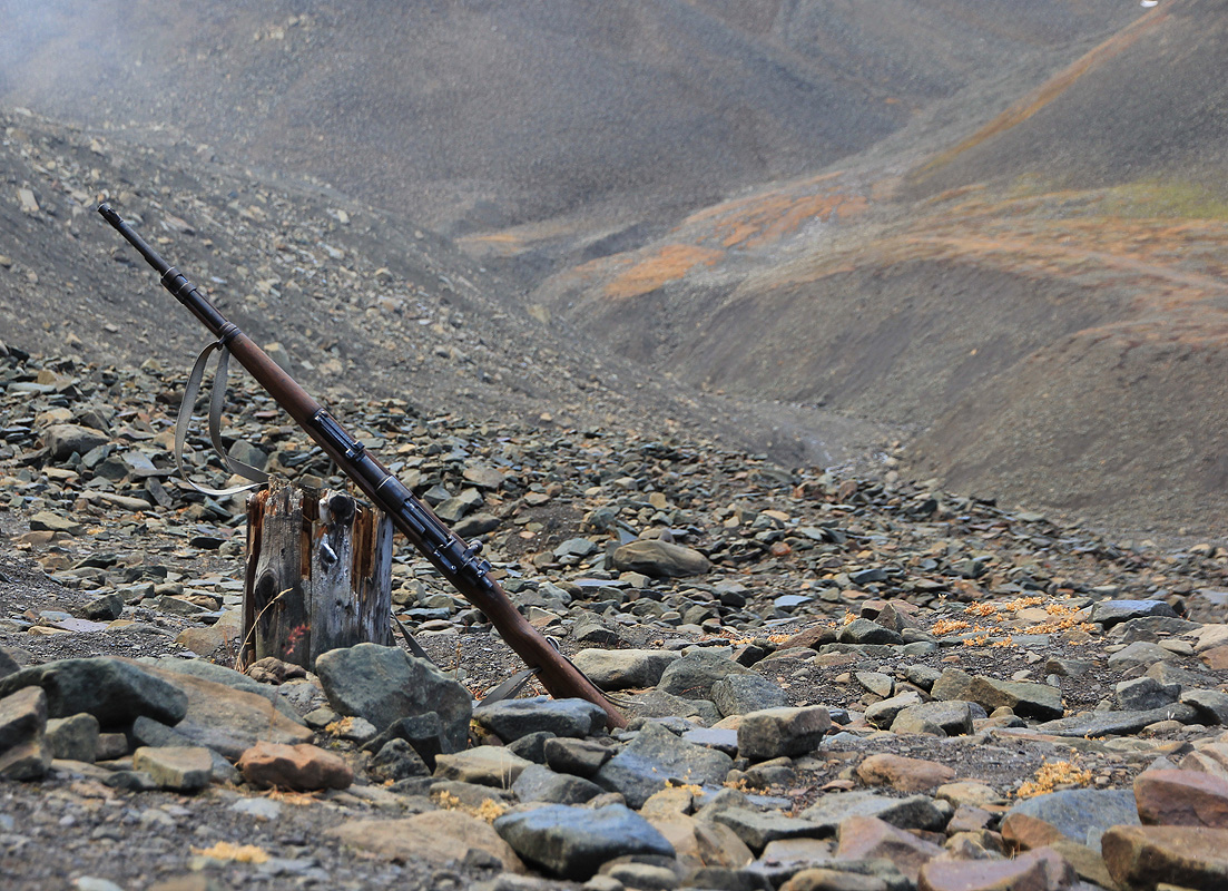
Important Note: Svalbard has a large population of polar bears and anybody walking
outside of the main streets of Longyearbyen (where there are houses), must
be in a party equipped with
at least one high powered rifle. Of course, one must also know how to properly handle and
(if needed) shoot with such a gun.
A standard rifle should have at least 4 bullets already loaded and ready to fire.
Polar bears are totally protected, one should by all reasonable means try to avoid any conflicts.
However, if a potentially dangerous situation occurs, then one should first fire a warning shot.
Often, the bear will then withdraw. If, despite this, the situation escalates,
then one must shoot to kill. The killing of a polar bear will always result in a police investigation.
Guns may be rented in Longyearbyen at IGP (Ingeniør G. Paulsen AS),
located between the sea (Adventfjorden) and the university building (UNIS). More precisely, as you walk down
the main street towards UNIS, bear right of this large building. You will then run into IGP, a building
having lots of snow scooters parked right next to it.
In order to rent a rifle, you must have a hunter's licence from Norway or you must obtain a permission
to rent from the Sysselmannen office in Longyearbyen. Sysselmannen, the Norwegian authority on Svalbard,
is located on a small ridge overlooking Longyearbyen. His office is near a telecommiunication antenna,
below the Longyearbyen church.
If you show up at Sysselmannen, (office opens at 0830 on weekdays), then this seemed to be a pretty
routine thing, they give you a permission to rent a rifle that you subsequently present at the IGP store.
Route description:
Start out by following a clear trail that follows the top of a moraine. Immediately,
you pass an old holding area for sled dogs. Continue along the moraine and descend slightly.
As you approach a small creek coming from your left, turn right and head a bit downhill.
Cross the main creek just below the creek fork
and head across towards a very distinct
valley called Tverrdalen. There
is a track that gradually becomes a trail, coming from
your right.
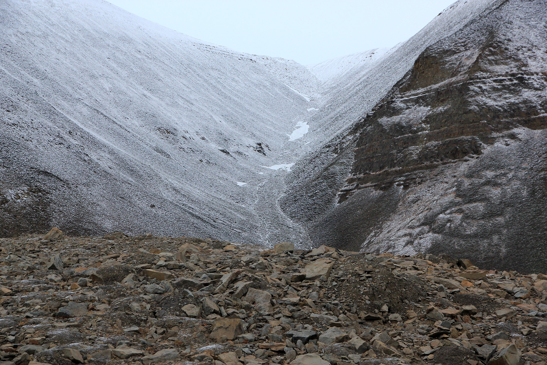
Follow this trail up Tverrdalen to the edge of the
very flat Platåberget. You should
pass close to location N78:12.034, E015:30.294, elevation 480 meter. From here, turn left (south-west)
and ascend the distinct ridge that runs on the (left) east side of the glacier. The conditions may
vary, it is a smart idea to bring crampons and an ice axe.
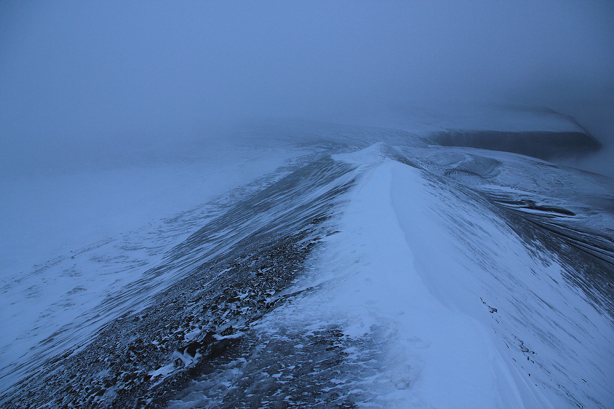
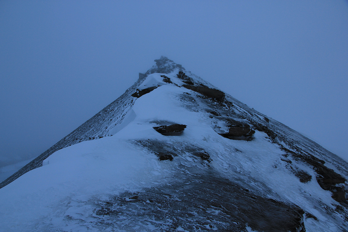
The ridge ascends and gets fairly narrow, but comfortable to climb if dry or covered by good snow.
Higher up (near 760 meter), you run into a rock formation that may require crampons if icy.
The rest of this route should go well (locals do it), but I had to turn around due to the ice.
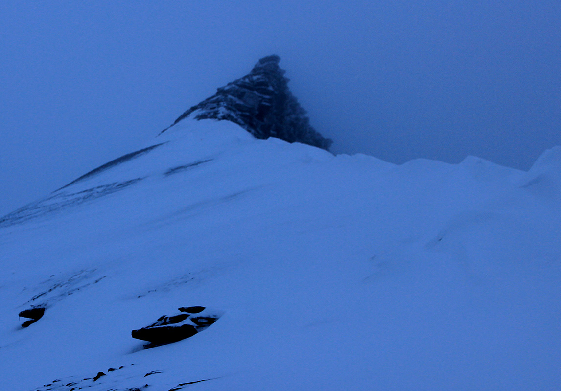
Alternatively, one can also climb the ridge further west, on the other side of the small glacier.
This ridge is pretty similar, gets quite narrow and runs into a rock buttress around 760 meter.
This looked a bit easier to climb, but when coated by ice, crampons would still be highly recommended.
See below for a successful climb along this route.
Comments: First attempt, Oct. 3. 2010:
I arrived in Longyearbyen just after lunch on Thursday, September 30.
The administrative staff of
the CS-department (where I am department head), had proposed to spend their HES award visiting
the university studies in Longyearbyen. When they proposed this destination, I almost did not
believe it. This is a place I certainly would like to go, but this was genuinely their idea.
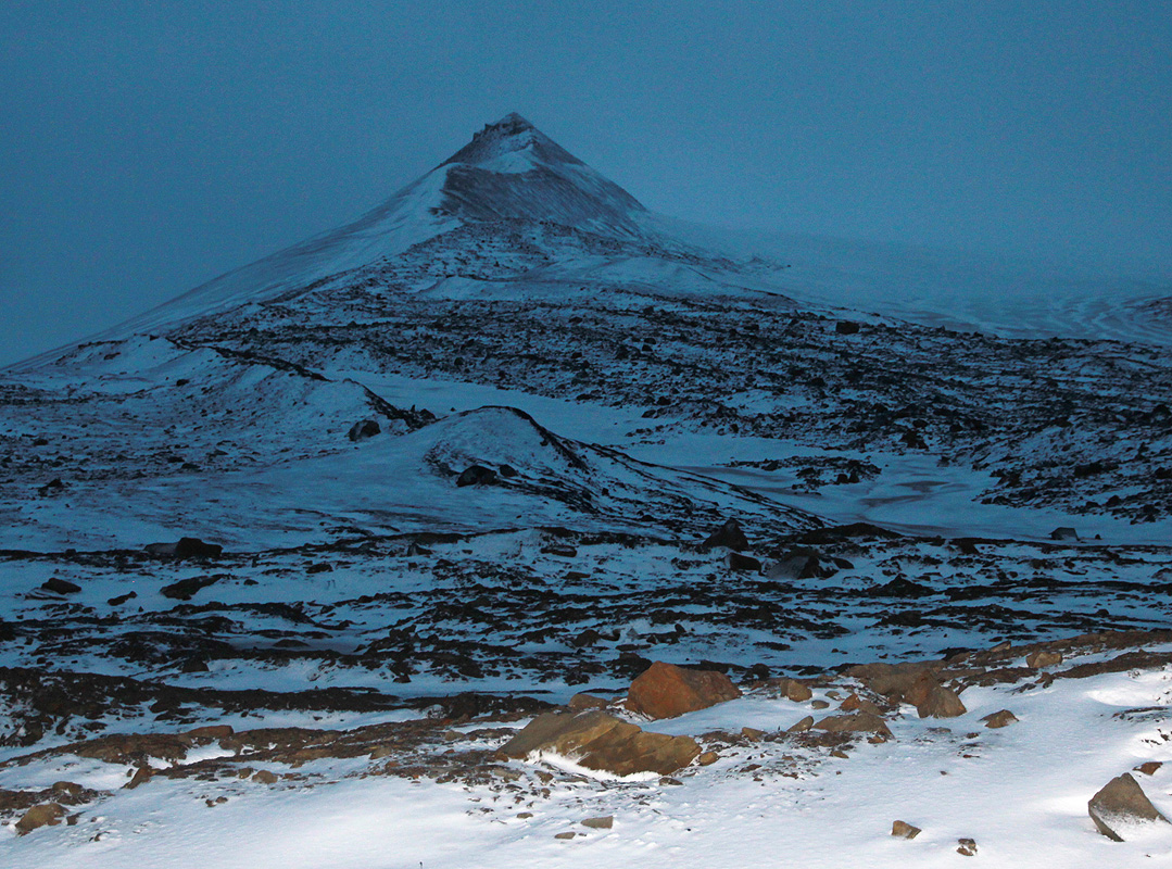
Nordenskiöldfjellet is a major mountain (prominence 675 meter) located right next to
Longyearbyen, certainly a tempting possibility. My schedule did not leave much free time for
hiking, but Sunday morning before our flight, had no program. I decided that it should be possible
to climb this peak before lunch if I started at first light.
I had visited the Sysselmannen office, obtained my permit, and rented a Mauser rifle, dated
1942, for the trip. With 9 lead-tipped bullets, I had a well proven weapon for protection.
Longyearbyen has by far the highest density of guns in Norway, even the receptionist in the hotel
said, matter of fact, that "of course I own a rifle".
I woke up at 0500, had a quick breakfast and ordered a taxi around 0530. It was still dark, but
I believed that there would be enough light to walk by 0545. The taxi driver had never been
beyond the Nybyen houses, but he had no trouble getting me to the trailhead.
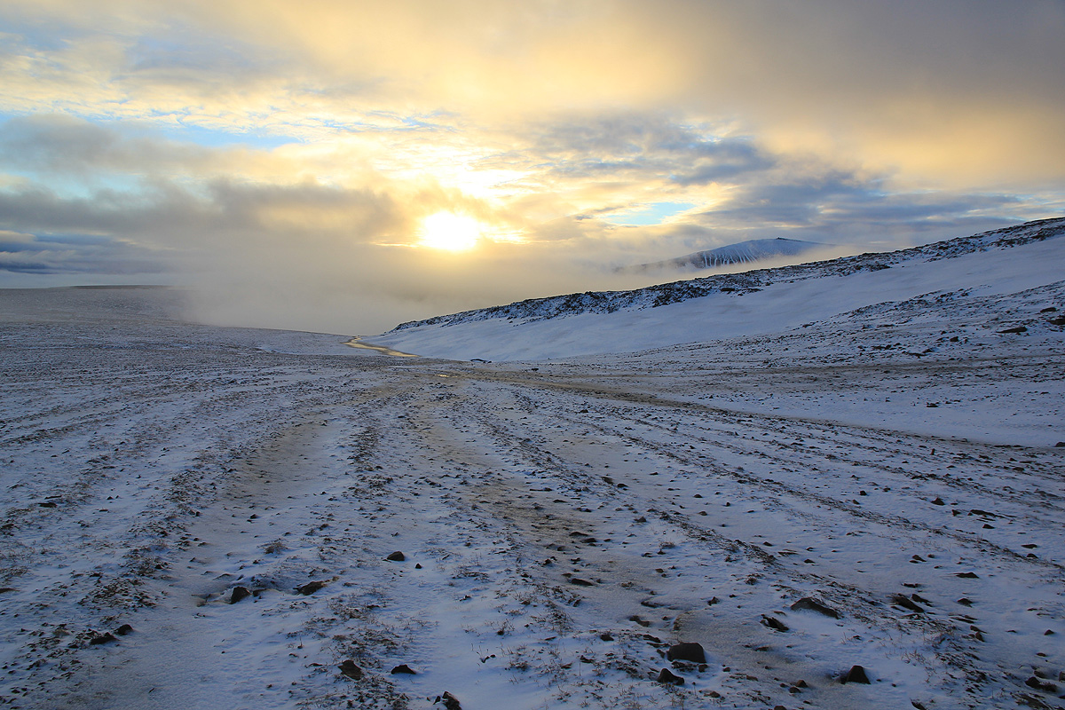
Starting at 0550, I walked along the moraine, but made the mistake of descending too early.
The rocks were loose and slippery, besides being steep, but the descent was short. Hiking across
the creek was easy and soon I gained elevation while turning into Tverrdalen.
The rocks were coated by a thin layer of ice and extremely slippery. I still made good progress
and reached the flat top of Platåberget in about one hour.
As I moved slightly left, in the direction of the first
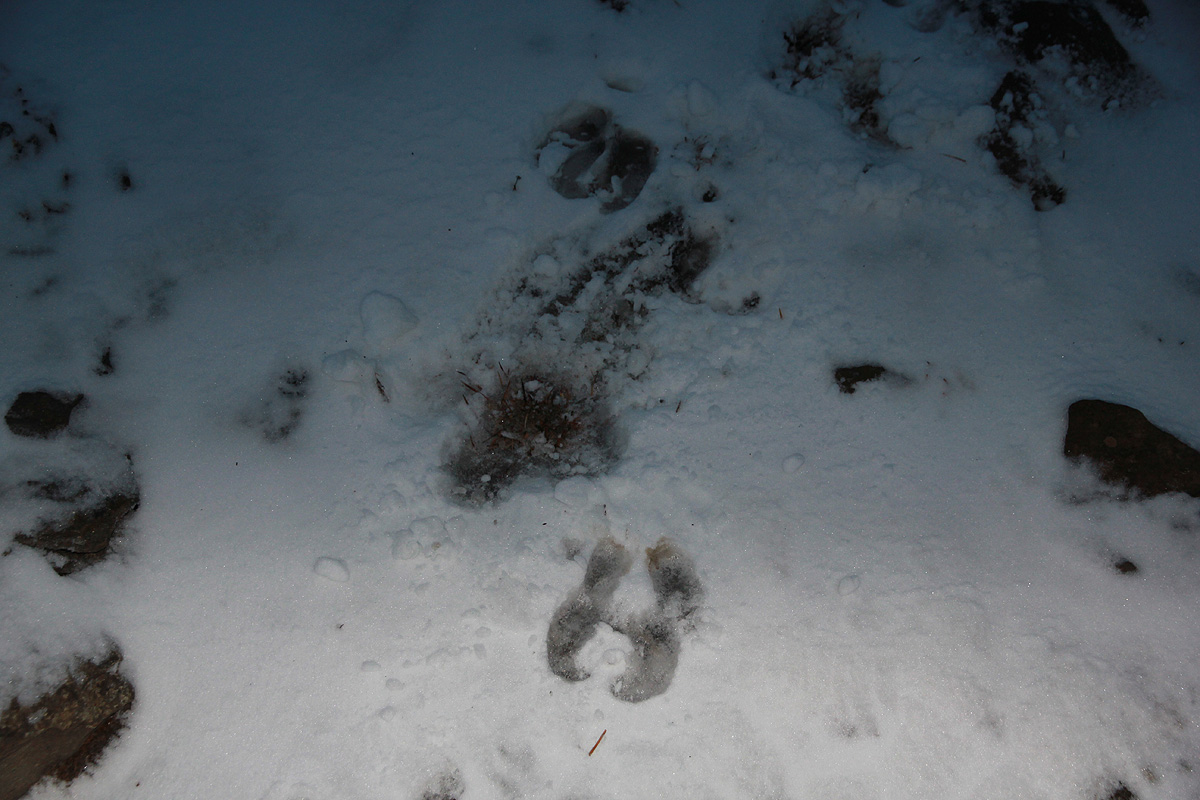
ridge, I came across big footprints in
the fresh snow.
My first idea was that
a polar bear had been walking west, perhaps towards
Bjørndalen? (Bear Valley). Upon closer
inspection, the tracks must have been made by
a reindeer. In southern Norway, reindeer tracks are normally from a herd, not a single animal like here.
The tracks were also bigger than what I thought a reindeer would make.
Anyway, at the moment it seemed like a good idea to head for
the first and nearest ridge.
It looked steep at the horizon, but I told myself that such long distance views
often hides the details that provide a way up.
I quickly gained elevation above the Platåberget mountain.
Ascending the ridge was easy, good snow, even as
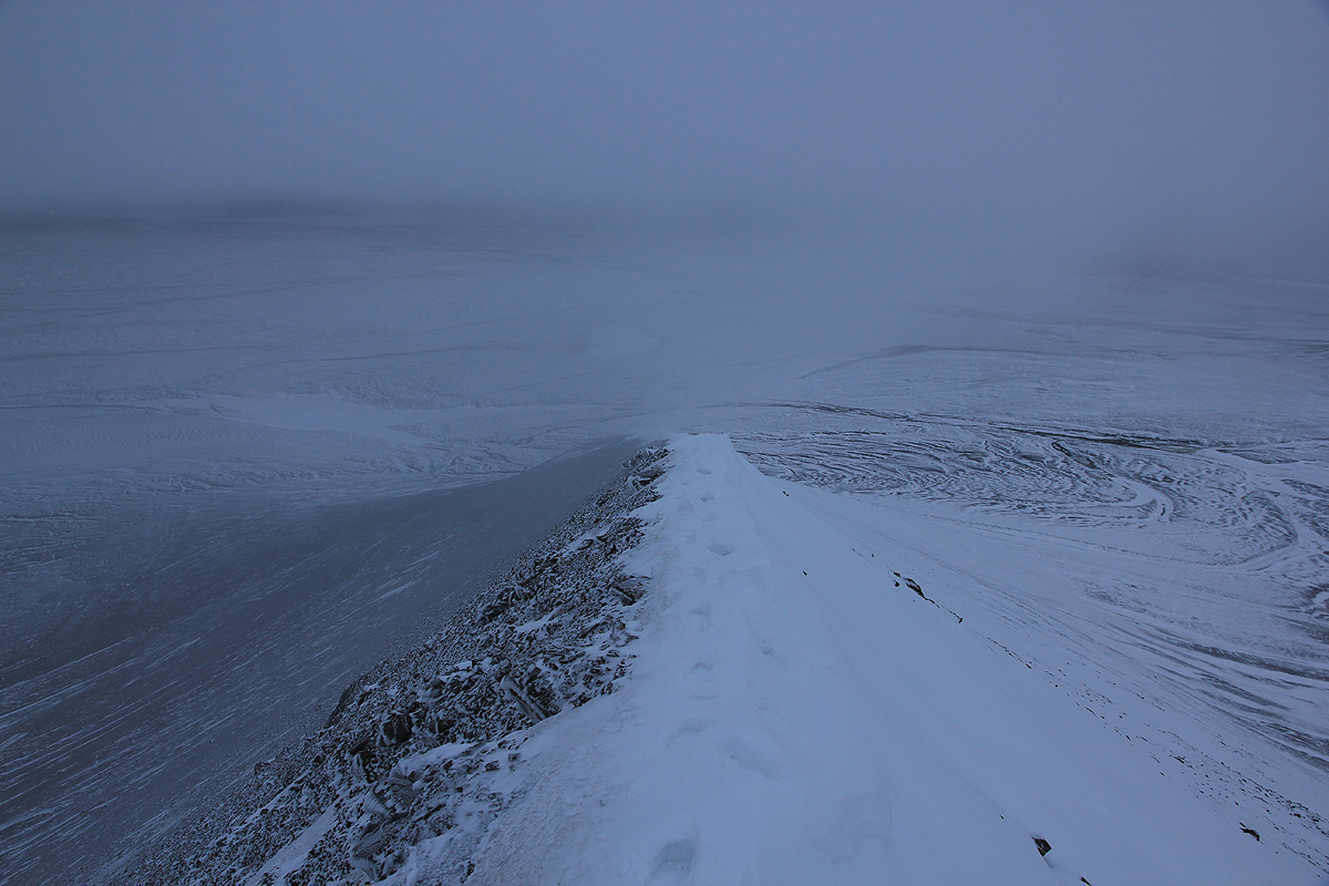
the ridge narrowed to
less than one meter and got somewhat more icy. Unfortunately,
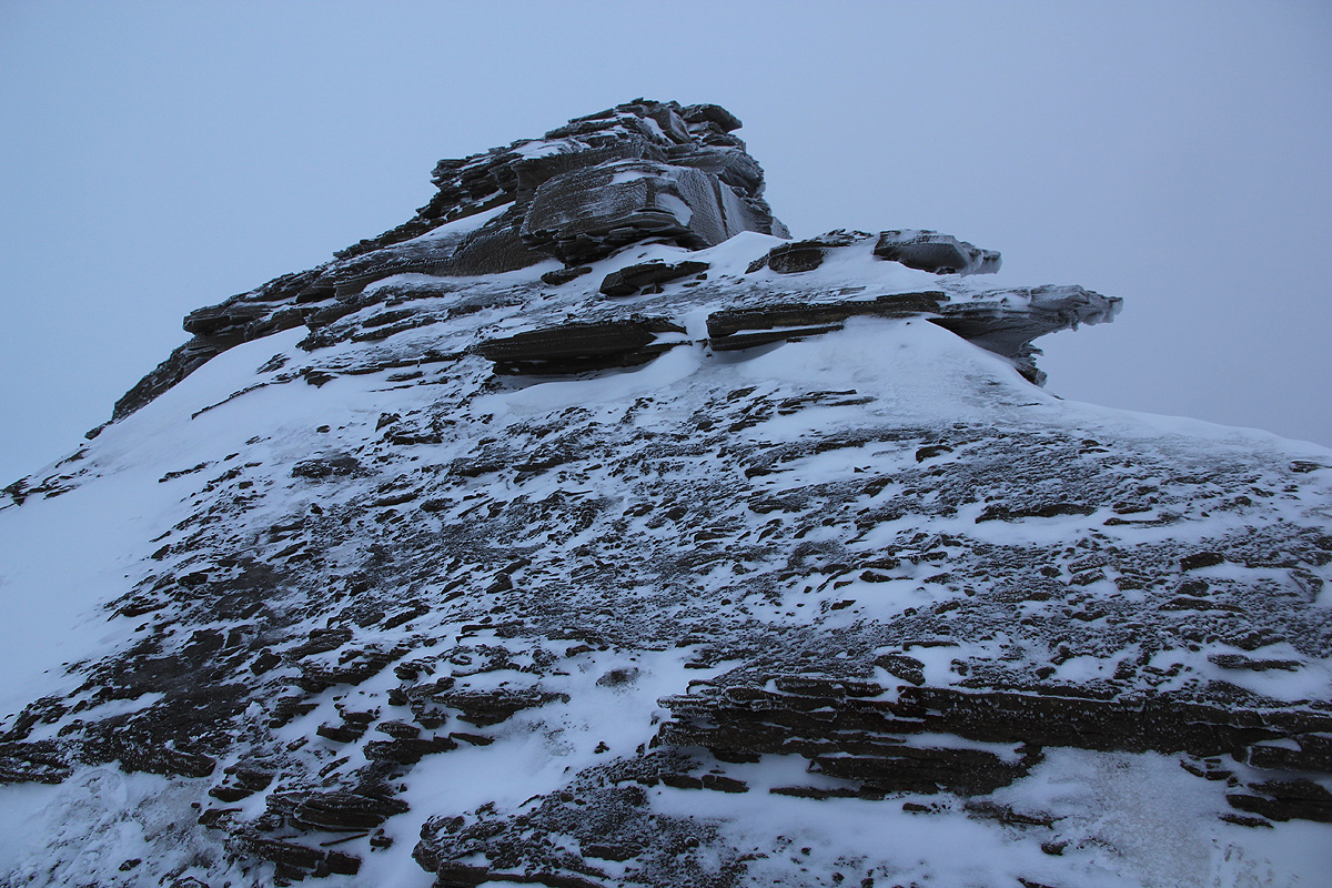
the small rock buttress at the
top should prove difficult. Covered by ice (from recent rain that had frozen?), the rocks
were just not possible to even try without crampons. The slopes on either side were also
icy and too steep to move into. The conclusion was easy, turn around and walk back down.
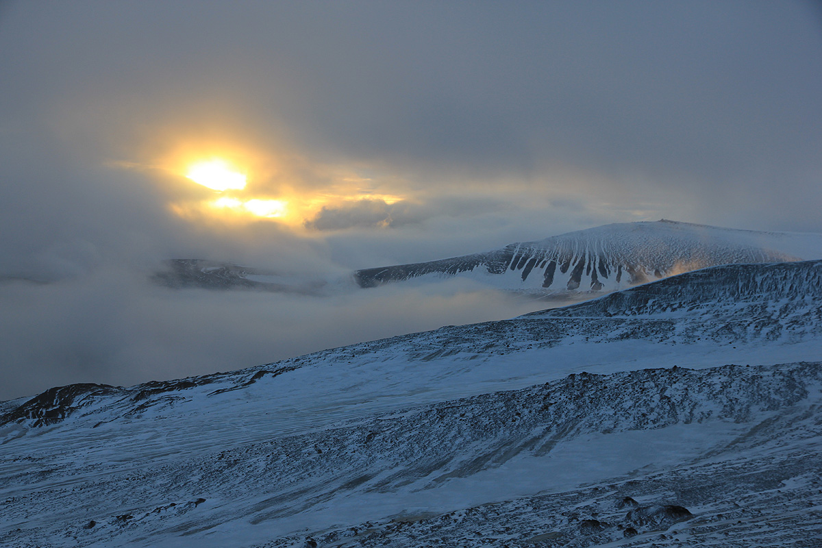
The hike had taken me two hours and I certainly had time for some more exploration.
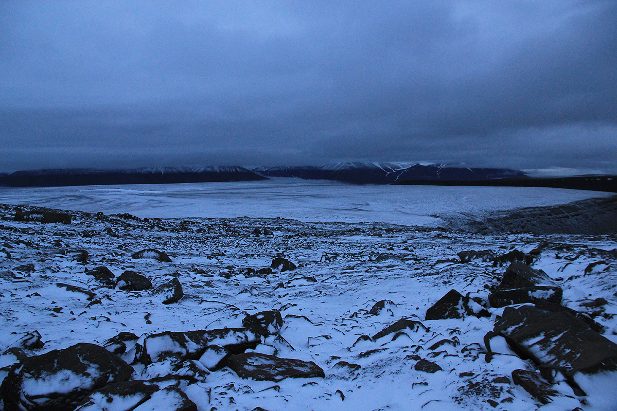
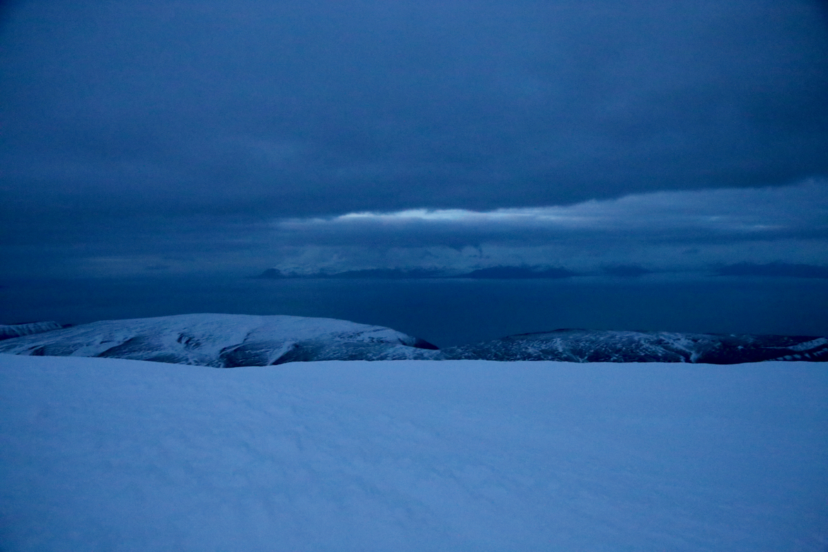
I looked across to the second ridge. It was partially covered by fog, but looked quite nice.
Also the map (unfortunately having only 50 meter contours), seemed to indicate that this
would be a (better?) way up. I crossed the lower tongue of the glacier with some care, staying
on (white) patches of snow to ensure good footing, then ascended the lower slope and gained the
ridge at about 620 meter of elevation. The ridge had good snow, but it was not broad, rather
the opposite as it got more narrow while climbing higher.
Again, a rock obstacle came into
view, but this one looked slightly more friendly. The slopes on eiter side were not
inviting, an icy layer with mainly smaller rocks. The route obviously had to climb the ridge
rocks, they formed some sort of steps, unfortunately, extremely icy.
I placed the rifle by some
rocks (no climbing bears in sight!) and tested out a couple of meter ahead. The conclusion was
that crampons would have been really nice.
Interesting, but perhaps not a coincidence, my GPS read exactly the same elevation on the two
ridges at the point where I decided to turn back.
A climbing companion (even without crampons) would
also most likely made me try the next 10 meter, they did look sort of possible. However, a bit
reluctantly, I decided to turn around. Too bad that there were no ridge with snow going all the
way to the upper area that most likely is easier.
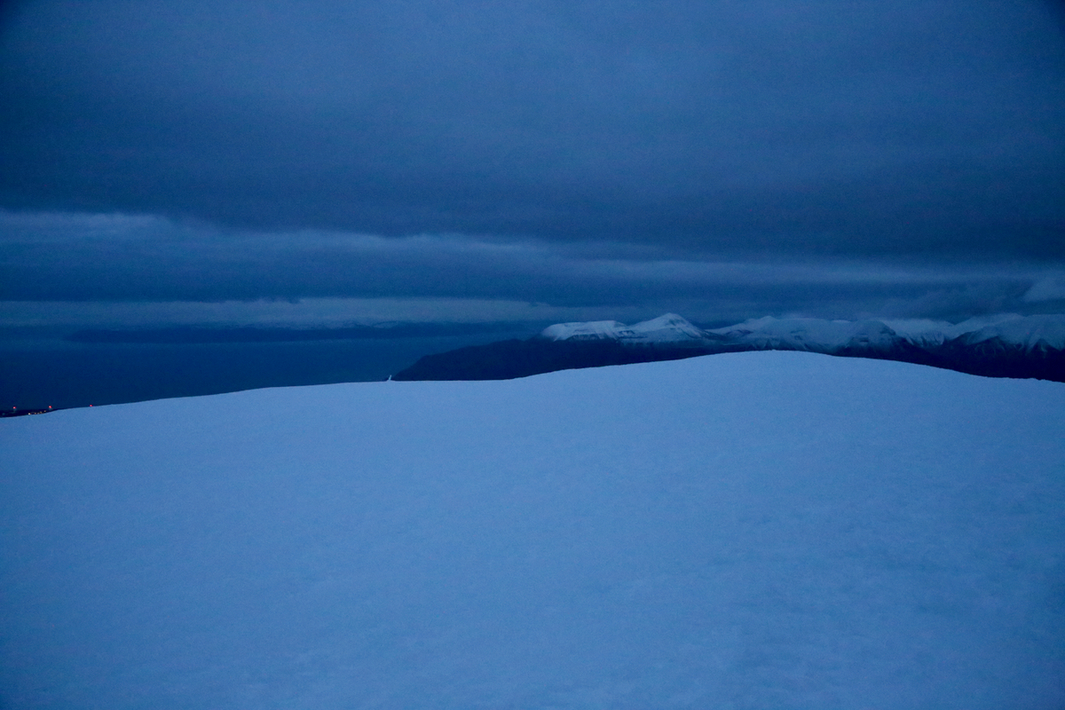
This ridge had taken yet another hour, and the time was 0840 when I started walking very carefully
down the narrow snow ridge.
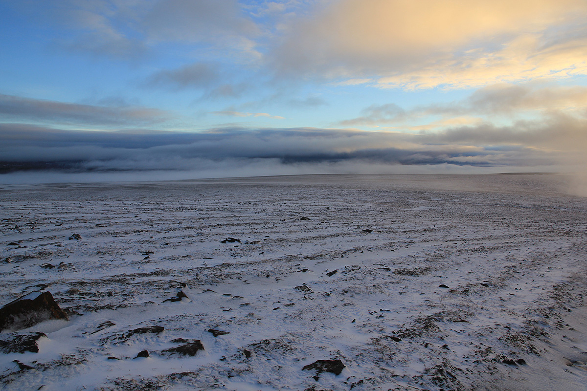
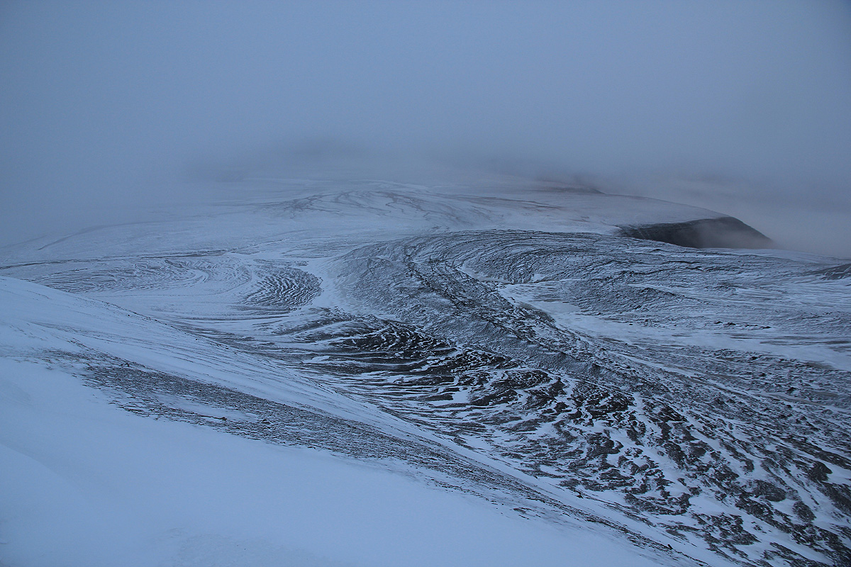
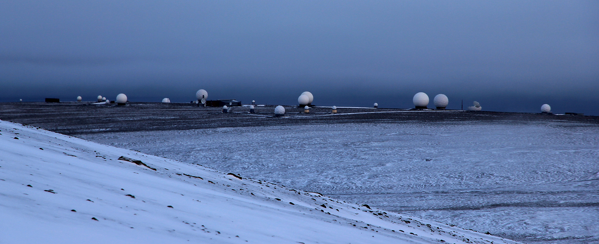
I descended back down to the Platåberget,
then contoured around to reach the
Tverrdalen valley. The scattered
fog lifted, I could see all the
satelite communication antennas
that have been built further out on the Platåberget.
No signs of the polar bear. Further down, just as I had exited the narrow Tverrdalen,
I suddenly became aware of a white fur, at least one meter long that MOVED ! I could not see the head or
legs, the animal was behind a small knoll in the terrain. Should I be awarded with seeing a polar bear
in the wild? I took the rifle off my shoulder, just in case. The situation was quite good, the camera
should be at least as ready to shoot as the gun. More movement, the animal moved into an open space,
a single reindeer!
I guess it is by far the most likely outcome when seeing a white fur.
I laughed silently and looked across
to the reindeer, it looked pretty nice, the distance was
too big to see any details.
I crossed the creek and followed a much better route back to the trailhead. Since I had plenty of
time to make lunch, I decided to walk back down
to the hotel rather than calling a taxi.
I removed the ammunition (4 shots) from the gun and strolled back to a warm shower before a cold
beer with lunch. It had been a nice walk/climb despite not making the summit. Arctic wilderness,
it is a bit different from mainland Norway. You move around in the land of the polar bear, you carry
a big gun, you are definitely a bit more alert, eyes scanning the terrain in front, to the sides and
regularly also behind you, there is a big hunter out there and you may be its prey. A young woman was
killed by a polar bear on this mountain in 1995.
This would have been by far the northernmost Major (prominence exceeding 600 meter)
mountain I have climbed, unfortunately, due to logistics, I did not bring the required gear.
I was back at the hotel by 1050, a very nice 5 hour hike that
will be long remembered. Second attempt, Nov. 10. 2016:
I was again here, this time on a rather brief visit to organize the DD24 conference that
will be in Longyearbyen from February 6th. to February 10th., 2017.
Our flight was late out of Oslo and the scheduled arrival time, at 0200, more than late, got
shifted to 0300. We (Pål Jørgen and I) were quite happy to finally sleep around
0400.
The alarm rang at 0800, we had breakfast, then headed down to IGP (Ingeniør G. Paulsen)
in order to be there when they opened at 0900. We checked out a Mauser rifle, this one dated
1939, and proper amunition, then called a taxi to get us up to Nybyen. I would normally walk,
but with a pretty full agenda for the day, we needed to shave off a bit of time if we could.
The time was roughly 0930 as we started walking up the valley and across the streams to
merge with the old road serving the mine on this side of the valley. From here, we followed
a rough path to the entrance of the Tverrdalen valley. The ascent up this valley was easy.
Longyearbyen had
experienced a very bad storm with lots of rain, just a few days prior to our arrival. Parts
of town had been evacuated due to fear of slides, since the perma-frost started melting due
to high tempertures and almost 100 millimeter of rainfall.
The temperature in Longyearbyen is way higher than what is considered normal. We had about
5 Centigrade as we started, a more normal situation in November would have been minus 10.
We reached the flat ourskirts of the Platåfjellet and crossed the valley in order to
reach the west ridge that I had decided we should climb. Last time, 6 years ago, I crossed the
lower part of a glacier. This time, the glacier had completely melted away in this (lower) area.
We ascended the (west) ridge and made good progress. Crampons and an ice axe were certainly nice
to have on this section of the climb. The rock formations that had stopped me previously, were
easy to bypass on the left, and soon we were back on a much broader slope that gradually climbed to
the highest point.
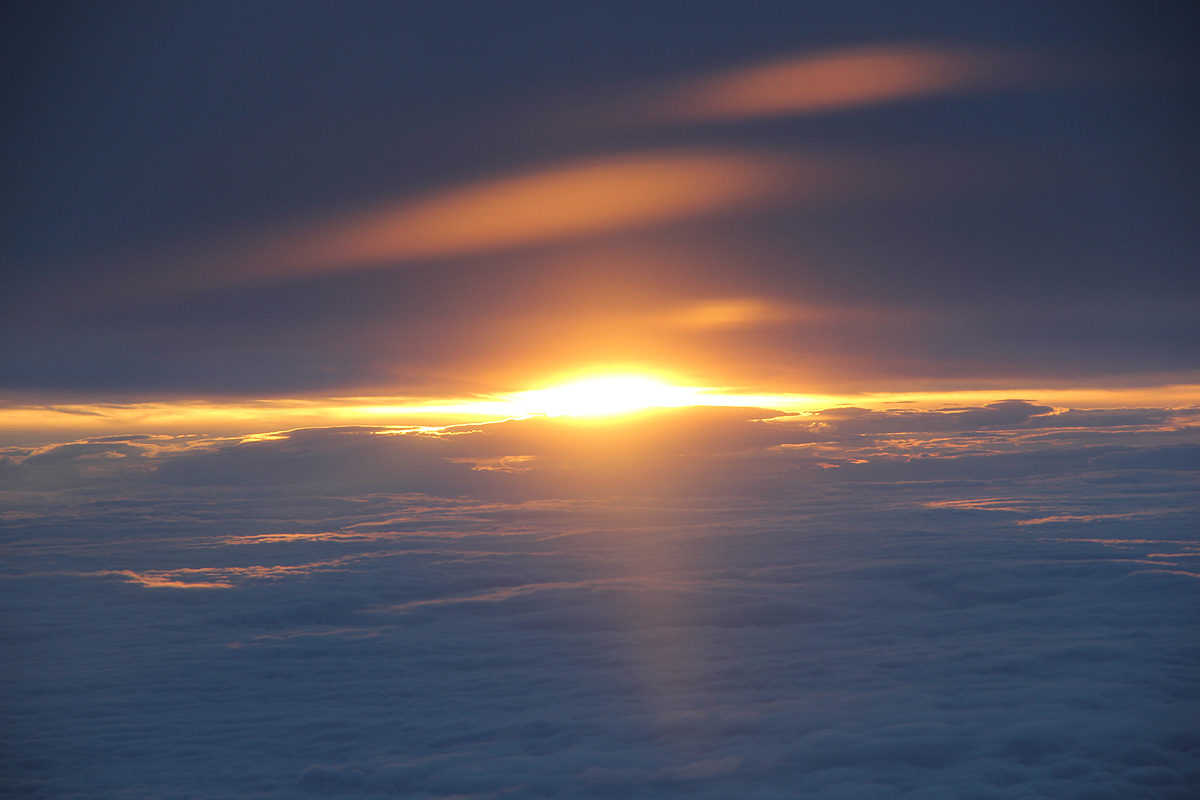
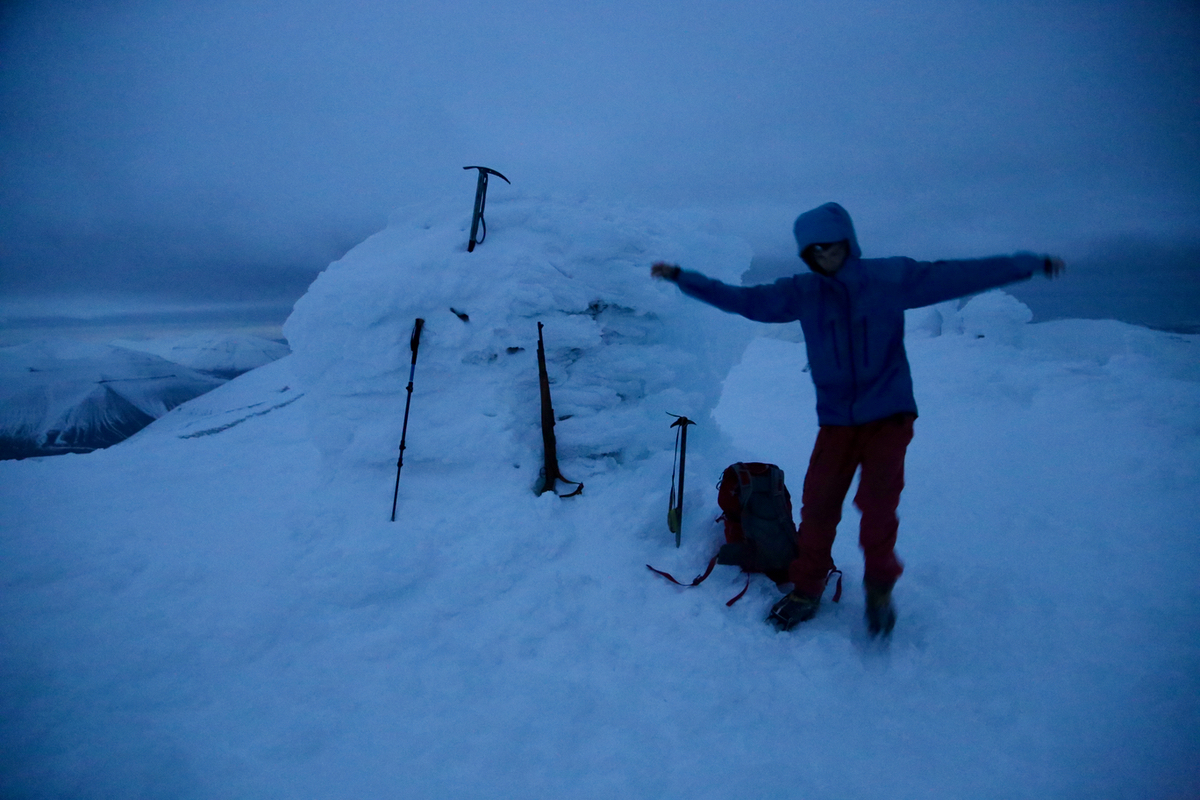
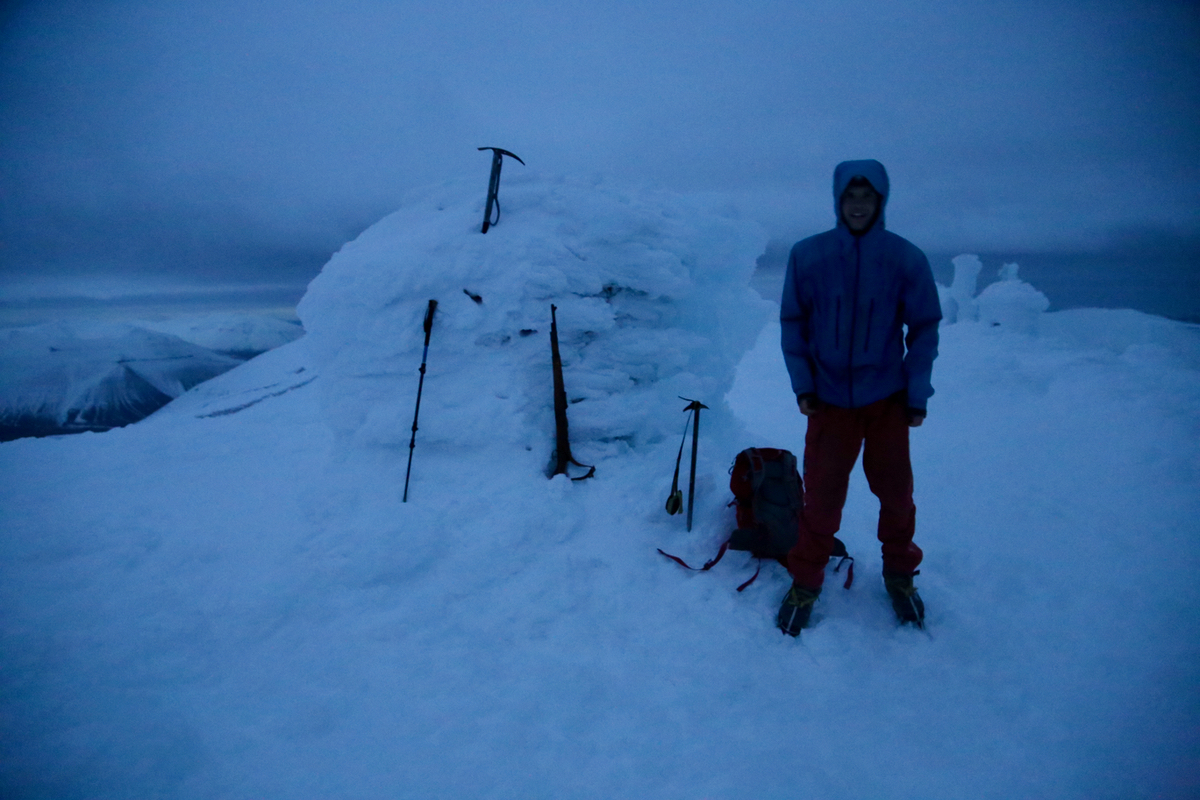
Arriving at 1200 - noon, we could sense that the very limited twilight was starting to fade.
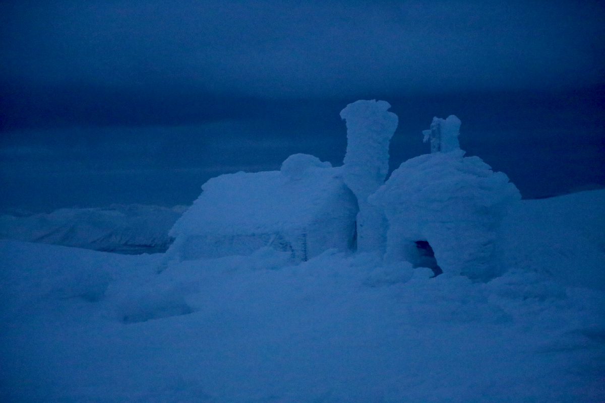
A very big cairn and to
my surprise, a hut built very near the summit. Pål
Jørgen had never fired a rifle before. Thus, we set up a smaller target on the big cairn. He
subsequently fired 4 shots and hit the target cleanly. The limited light made for a good scene with
red and yellow flames shooting out of the gun as the shots went off with a thundering noise breaking
the arctic silence.
We left at 1230 and followed our footsteps back down to the narrow ridge, then further down and across
to Tverrdalen. Crampons were indeed helpful and we kept them on until below the icy area more than half
way down Tverrdalen. What remained was an easy hike back to the remains of an old mine, then across
the river and bak up to the end of the road in Nybyen. We were back at 1420, but this time the
taxi took almost 20 minutes before picking us up. We could almost have walked back down to IGP in the same time.
There was still time to meet as agreed with my contacts to take a close look at all the conference
facilities that we will need in February 2017. Thanks to Pål Jørgen for good company.
The first coal mine above Hiorthamn. The mine is left
of the snow gully, while a hut for the miners can be seen on the right side.
(Well above the snow line.)
