Location: North 68.73710, East 017.59618 (GPS at the summit)
Difficulty: YDS class 2
Climbed September 1., 2020
Information:
How to get there:
Drive E-6 north from Narvik, or E-10 east from the airport Evenes, to the
small village of Bjerkvik. Continue north on E-6 about 13 kilometer. Turn left
onto Hwy. 825, continue to the bridge and cross to the north side of the fjord.
From the bridge, drive 6 more kilometer to Hesjeberg. A small side road forks
uphill on your right about 150 meter before the main road crosses the river.
Take this road, shortly after the exit you may park on the right hans side.
Unfortunately, the road is closed by a locked gate. This is the trailhead,
location N68.72926, E017.47239, elevation about 15 meter.
Route description:
First, walk up along the forest road. As the road gains the upper part
of the valley, ignore 3 small branches that fork right. After a gentle
downhill the main road curves left in order to cross the main river, fork
right (well before) and continue just across the smaller
river that comes from your right. A track runs uphill here on the
left side of the river. This location is N68.74007, E017.52725,
elevation close to 280 meter. Follow this track uphill. It will fade
away, but the terrain is easy and the route continues uphill staying south
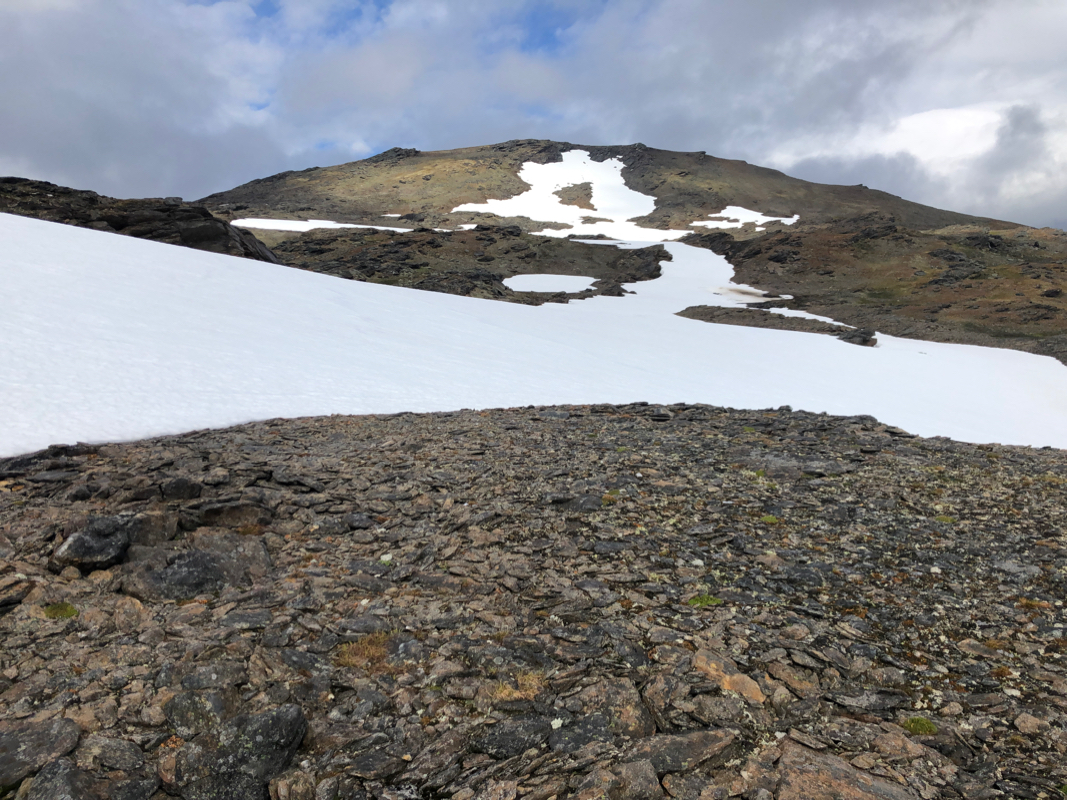
of the steep slopes of Lavangstinden. Near elevation 850 meter you should
pass 2 small lakes (on your right). From here, the route turns more
left and one may ascend the hillside
going north to reach the almost
completely flat summit plateau.
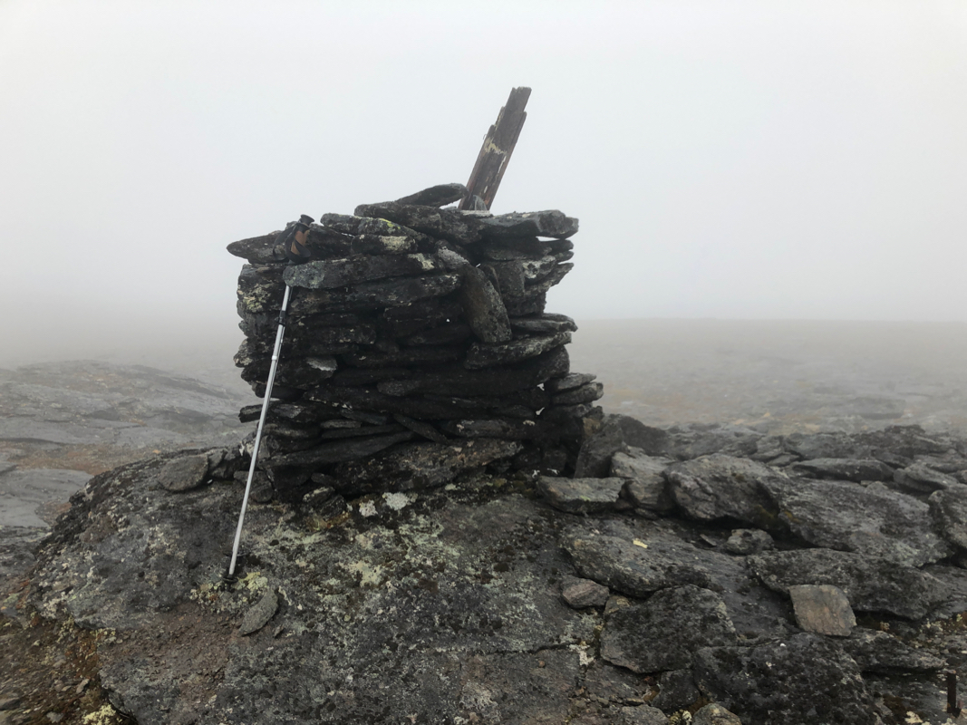
The summit cairn is located
on the north side of this pretty large
flat area.
Comments:
The forecast called for rain in the morning, followed by gradually improving
weather later in the day. However, since I had a flight to catch (going back
to Bergen), I just could not start very late. After a good breakfast at
Fjellkysten hotel, I drove to the trailhead. My hope was to drive up the
mountain road, but that was not to be.
I started walking at 0830, the weather was better than expected.
The road was ok, after 30 minutes most of it behind me. I left the road
on a short access to a couple of houses, the crossing of the river was tricky
but doable. Clearly better to stay on the main road and use the bridge before
heading uphill. Very pleasant walk as I gradually gained elevation until arriving
at the small lakes. From here, I partly walked on some big patches of snow, then a somewhat
steeper hillside before the summit plateau. I was up by 1120, so slightly less than
3 hours. No views, a cloud resting up here. I headed back down within 10 minutes and
had an equally pleasant walk back down to my car, arriving there by 1430.
I now had ample time to head back to the airport and my flight to Bergen.
Resources:
Images
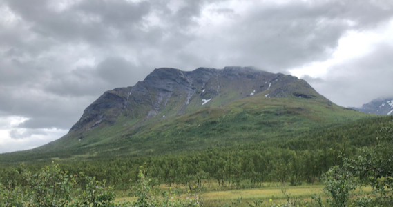
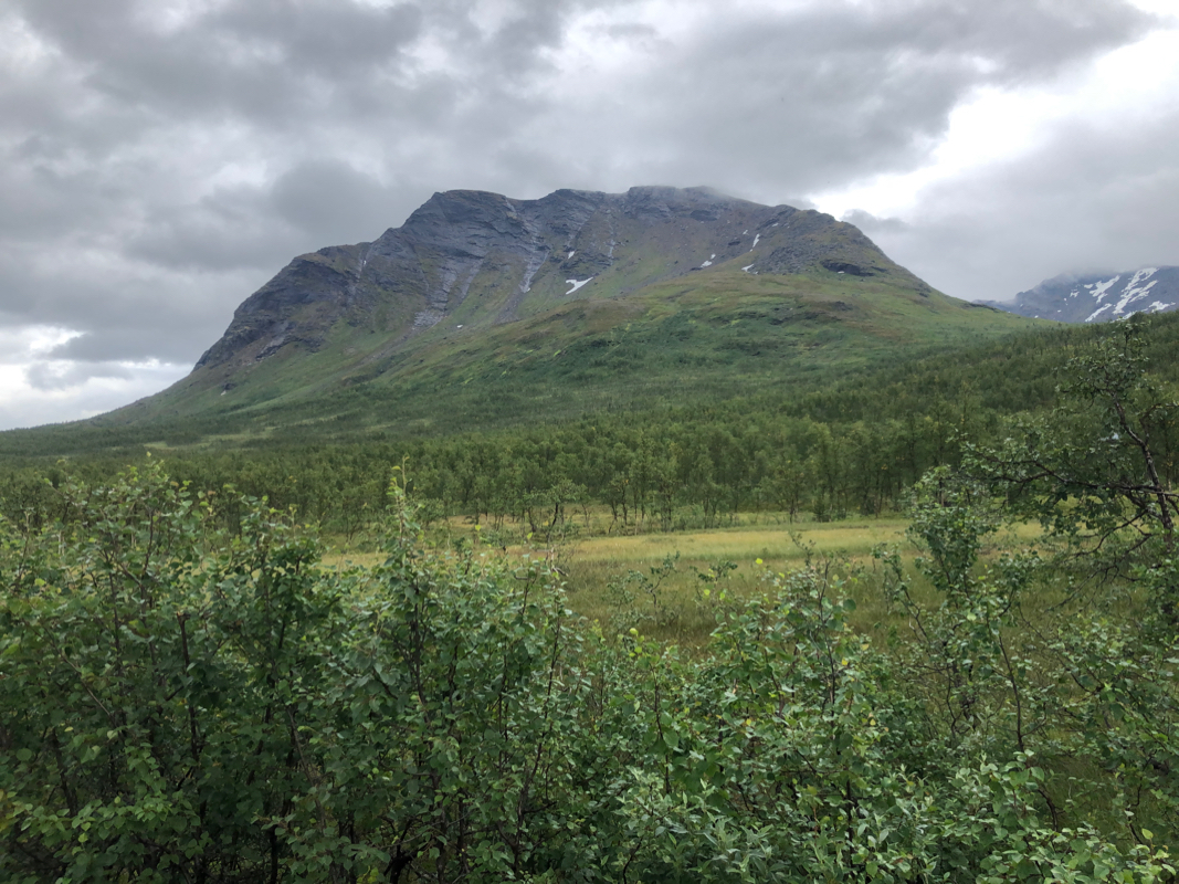
Lavangstinden, as seen from the end of the mountain road.