Location: North 38.97457, West 122.76578 (GPS at the summit)
California
Difficulty: (YDS) class 1
Climbed March 3. 2018.
Information:
How to get there:
This mountain is located next to Clear Lake. Clear Lake
is north of Santa Rosa. First, get to the small town of
Kelseyville, at Hwy. 29 (and Hwy. 175 as well). Drive
Main street, if going north then turn right onto
Konocti Road. Follow this road to a designated parking
area on your left. (The road ends right here.)
This location is N38.96917, W122.79179, elevation about 830 meter.
Route description:
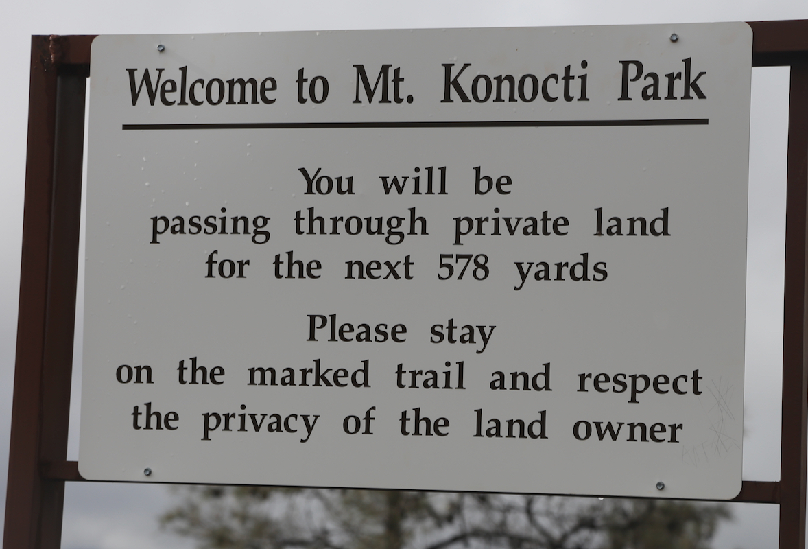
The trail is well signed. In fact, whoever was in charge of this
wanted accurate information. First,
bypass exactly 578 yards of private
property, next join an old road
that climbs steadily and walk 2.99 miles.
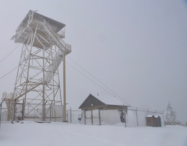
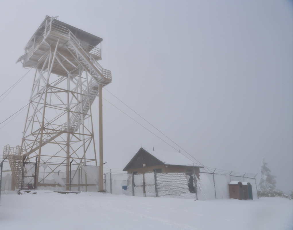
One should note that the highest summit is referred to as Wright Peak.
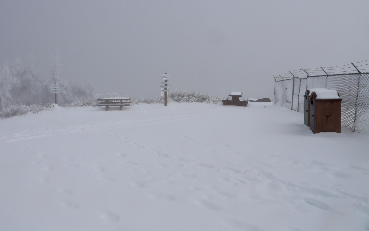
Near the summit, there is a left fork. The summit
has a tower installation,
but also a sign for tourists. Comments:
I made this climb in the afternoon, having climbed
Cahto Peak in the morning.
Fortunately, the snow depth was much smaller than on Cahto Peak
at the corresponding elevation. This was also a good sign for my
planned climb of Cobb Mountain tomorrow.
I started at 1305 and reached the summit
at 1420. After a
10 minute break and some photos,
I returned to my car.
Just before the trailhead, the clouds cleared
a bit and I got a view of the lake.
The return
hike took 50 minutes.