How to get there:
A natural starting point is the DNT hut Gjendesheim or nearby
on the highway Valdresflya.
Route description:
This ridge route can be hiked either way. We hiked along the south-west
side and then made the traverse from the Gjende side towards the
highway on Valdresflya. There is a clear and good trail all the way.
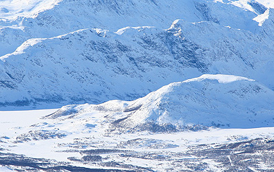
The ridge looks narrow, but the trail poses no difficulties. There
are a few short sections that may be called easy scrambles, but overall
this is a very easy hike with very good views along a nice ridge. Comments:
I did this hike as an afternoon hike after establishing camp at the
south-west side. I was with my sons Pål Jørgen (9 years)
and Tor Erling (16 years). The next morning we proceeded to climb
Tjørnholstind.