How to get there:
This peak is located near Isfjorden. Isfjorden is about 6 kilometer
east of Åndalsnes. About 2 kilometer east of the fjord, a dirt toll road
(60 NOK in 2023) runs north, then east towards Kavlisetra. Drive to the end
of this road where you find parking at location N62.59312, E007.87313, elevation near 450 meter.
Route:
Continue along the road that serves Kavlisetra. This road quickly gets worse as it
transforms into a trail before getting to the mountain farmhouse.
After passing the buildings the trail continues before arriving at a fork. Take the
left fork, this trail runs up to the col between Kyrkjetaket and Kjøvskartinden.
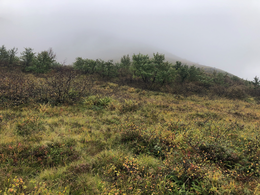
However, well before this trail heads uphill, near elevation 620 meter, leave the trail
and follow open land (avoid birch bush!) to gain the base of the south-west ridge coming
down from Kjøvskartinden.
Ascend this ridge and follow it more or less all the way to the summit. It may be possible
to avoid some bad talus by staying a bit to the right of this ridge line higher up. On the
lower part, one should stay on the ridge or even slightly left. The route will likely hit
the top ridge a bit right of the summit. If this is the case, then just ascend left until
you find the summit. Comments:
It was a rainy day, but I thought that this climb would be fairly easy.
I left the car at 0945, the weather was pretty wet and the fog completely
obscured the mountain.
I finally arrived at the base of the ridge, then headed
uphill. Higher up, I ran into quite a few sectins of wet talus that slowed me down.
The weather was bad and as I got close to the summit the rain turned into snow.
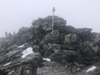
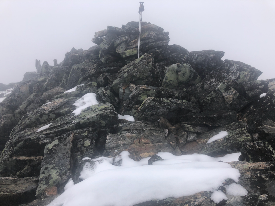
I reached the summit at 1310, 3:25 up, much more than I had expected. I certainly
agreed that this peak may be much better suited as a ski ascent. I stayed only
5 minutes at the summit before turning back down. I did find small variations
on my descent that made walking slightly better. Back at the car, soaking wet, at
15:55, more than 6 hours for the trip.
Resources:
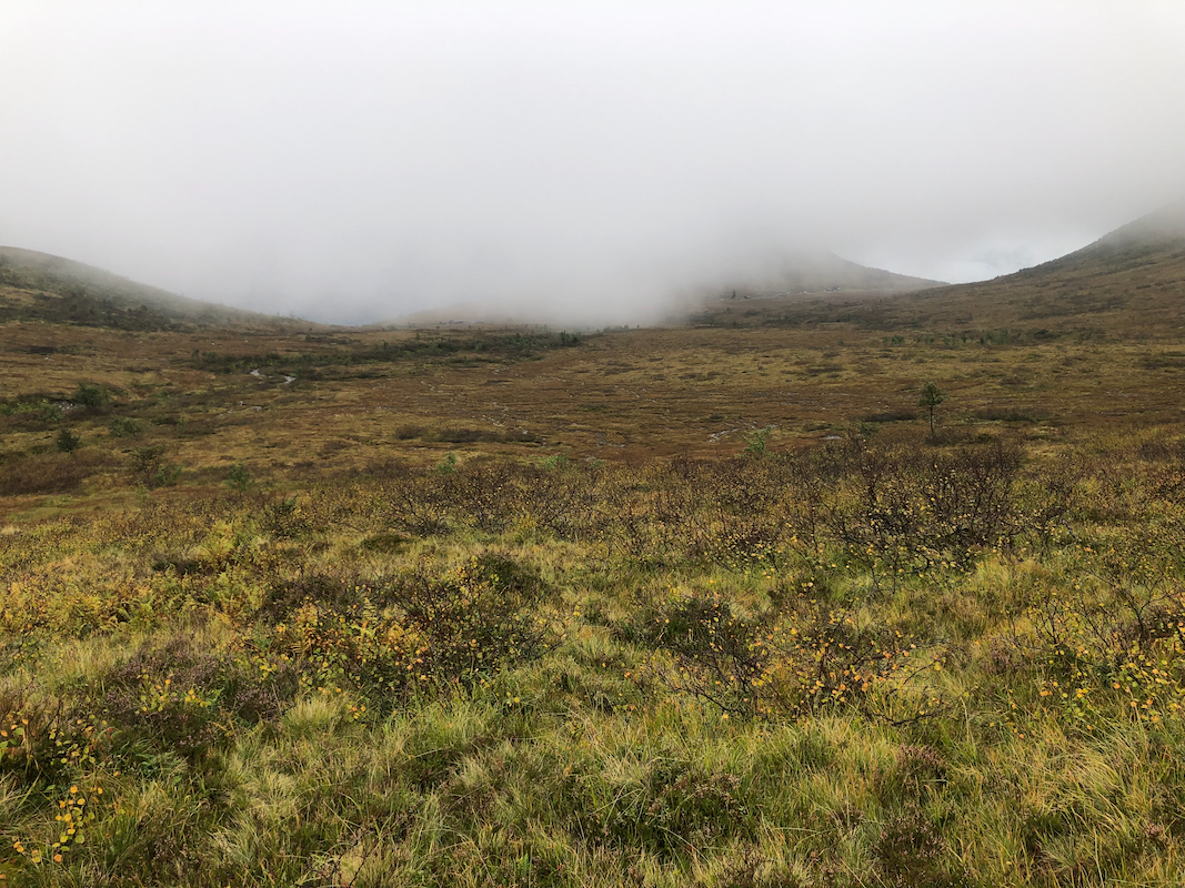
Looking back from near the beginning of the ridge.