Location: North 65.37909, East 013.50920 (GPS at the summit)
Difficulty (YDS) class 2
Climbed April 26. 2021
Information:
How to get there:
Locate the intersection between Hwy. 76 serving Brønnøysund, and
E-6. This is south of Trofors and north of the lake Majavatn. Go 1.4 kilometer
south along E-6 from here. There is a small turnout next to a small building on
the left side of the road. Park here, location N65.36739, E013.37612, elevation about
180 meter.
Route description:
Start out along the power line, there are signs of an old track. However, leave this
line and cross more right, across the small creek. Continue (some bush-wack!) north-east.
Pick a line that stays as much as possible along meadows and open areas. As you
gain elevation, the terrain is easier to walk/ski. A rough waypoint may be location
N65.37411, E013.40109, elevation about 260 meter. I was able to ski down (on returning)
to this location.
Continue more directly uphill, the vegetation will get more sparse and the route
continues with a more gentle uphill slope as you get higher.
Continue directly east towards location N65.374, E13.488, elevation near 900meter.
Turn more north here, and follow the right hand side of the small valley uphill,
then turn more east and south to the summit.
Comments:
I had stayed 3 nights at the nice Seterstad farm in Hattfjelldal.
Leaving early, I left my car around 0845. I carried my skis on my backpack
and walked about one hour, in order to reach stable snow and somewhat more
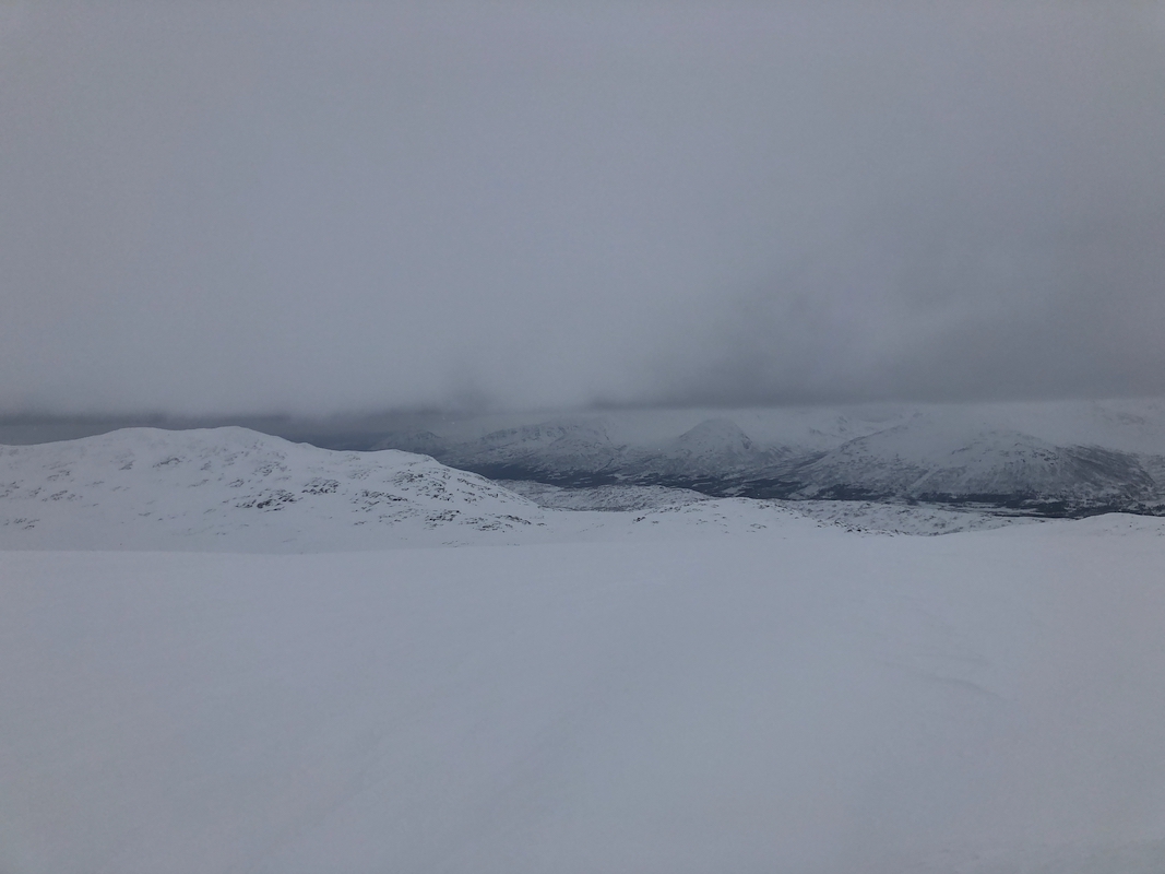
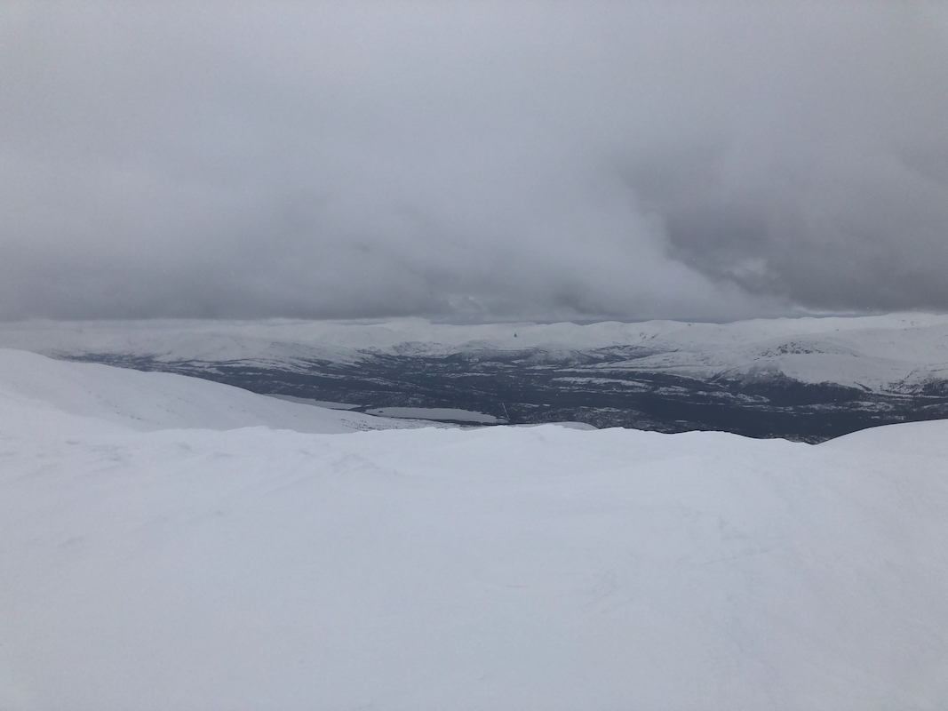
open terrain. Unfortunately, the weather was rather poor. As soon as I moved
above tree-line, the fog was pretty dense and basically white-out conditions.
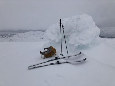
I arrived at the summit by 1205.
The fog lifted briefly and I had, quite unexpected, some views when looking around.
After this short stop, I started my careful skiing back down the
same track. Back at my car by 1400.