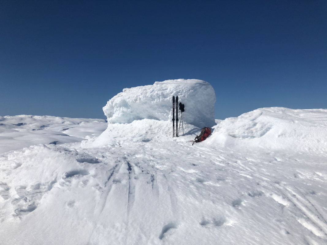
Location: North 60.50265, East 006.29292 (GPS at the summit)
Difficulty (YDS) class 2
Climbed April 20. 2020
Information:
How to get there:
The best starting point is at Hornaberg.
From Bergen, follow E-16 to Dale, then take the old road to Voss
that climbs steeply up Bergsdalen (exit right through the town of Dale).
Drive to the north-east end of the large lake Hamlagrøvatnet, then
turn right (small paved road) shortly after leaving the lake. Note that if
the lake is low (it is part of a hydro power storage basin), then this lake
is divided into two lakes. Follow the small road to the east side.
There is limited parking near a road fork at location N60.5607, E06.2110, more parking
nearby (follow the road along the lake)
next to the very easy to see, grey power plant building.
This is location N60.55819, E006.21080, elevation about 600 meter.
Note, that an alternative route is to continue on E-16 all the way to Bulken,
exit left there following the signed road to Hamlagrø. This road is about
the same distance, but of better quality to Bulken. The disadvantage is that
you pay toll before reaching Bulken.
Route description:
First, get to the lake Torfinnslake. There are two different marked routes, a steeper
route east that runs more directly to the DNT hut Torfinnsheim, going north of the
mountain Skorane. The alternative trail runs more south in order to turn the mountain
Skorane on the south side, then east to Torfinnslake arriving in south-west corner.
Both ways are possible, the latter is perhaps slightly better (less steep).
Ski on the lake or follow the trail on the west side to the south end of the lake.
First, ascend in the valley that runs up between Vetlekaldenuten and Kaldenuten, then continue
up easy slopes to Kaldenuten.
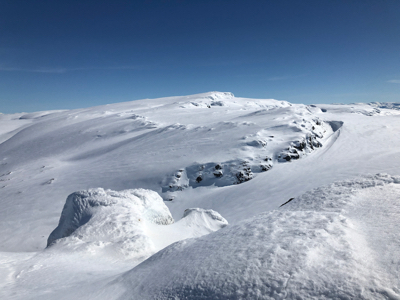
Comments:
I climbed this peak after climbing the mountain Torfinnshorgi, located about 6.5 kilometer
to the north-east. I left Torfinnshorgi at 1105, skied down to lake Torfinnsdalsvatnet, crossed
south-west in Tverrdalen, then went south-east to climb the main crest running east, then north-east
from Kaldenuten. This trip took slightly more than 2 hours
as I arrived on Kaldenuten around
1315. Good views and continued nice weather. I spent about 15 minutes before descending the gentle
slopes to the small hut at the base of Vetle Kaldenuten, my next target on this trip.