How to get there:
See this summary of climbs in BC, August 2022.
The access to this peak is about 14 kilometer up Cook Creek Forest Service Road.
The road forks of Hwy. 19 at location N49.43391, W124.74649. We drove aa subaru car to
location N49.41740, W124.86732, elevation about 470 meter. A high clearance 4WD maay be able
to continue a bit more up this road, but it quickly gets rougher.
Route description:
Continue up the forest road in switch-backs. The route is well flagged.
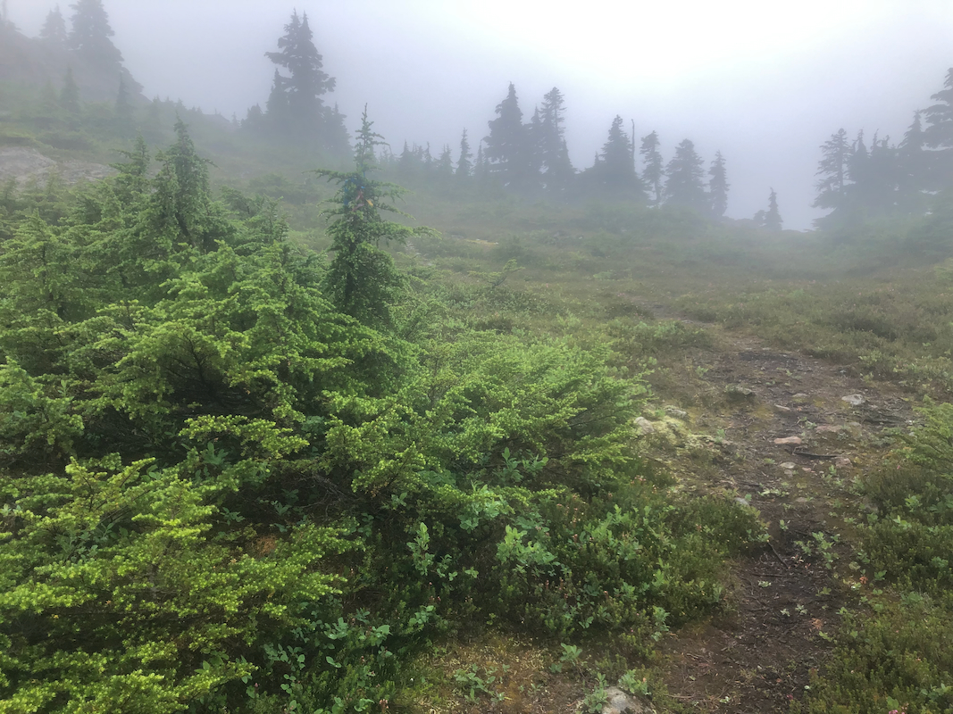
The road turns into a trail higher up. Ascending somewhat more steeply, the route
will gain a saddle between
the peak called Squarehead (right) and Mount Joan (left).
Fork left and follw the trail across an almost equally high north summit, then shortly
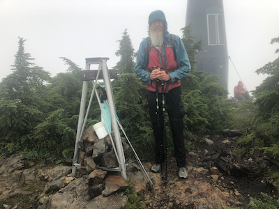
to the summit. Comments:
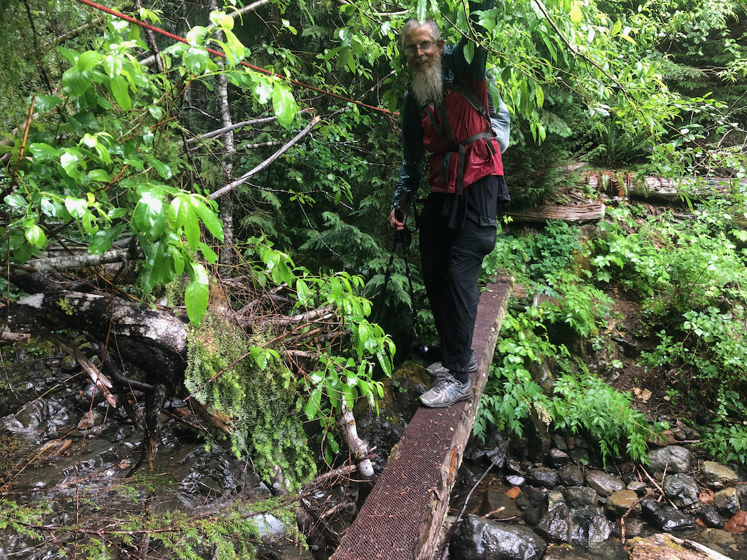
We had the good news that Dave would join us for a bit more than a week. We met him where
the forest road forks off from Hwy. 19. Unfortunately, it was a rainy day. This was
certainly noticed as the hike higher up crossed through vegetation with very wet leaves.
We started out around 1100 and arrived on top at 1400, so 3 hours. After a short break,
we descended in 2:30. This was the only really wet day in several weeks of hiking
this August.