Location: North 62.85407, East 008.74916 (GPS on the summit)
Difficulty: YDS class 2
Climbed June 23 2013.
Information:
How to get there:
This description is an easy (class 2) route to Indre Sula, an alternative is to climb
the lower Ytre Sula first,
then scramble (class 3) along the ridge to Indre Sula.
Head south from Surnadalsøra along Hwy. 670. (Direction towards Sunndalsøra.)
After about 12 kilometer, turn left onto Hwy. 671 with signs for Todalen. Measure from here.
At kilometer 13.1, you should see the very first building on your left hand side. Turn left
here onto a small farmers road. Note that this is immediately before a bridge on the main highway.
At kilometer 13.2 (that is after about 100 meter), this road curves left and you cross a gate.
Hopefully, this gate is open! Continue steeply uphill on this pretty good forest road. At kilometer
15.0, there is a fork, turn sharply left and continue even more steeply uphill before a final horizontal
section with a small parking area at kilometer 15.5. In 2013, the road ended here, but there were signs
indicating that the road may be extended on a bridge crossing the nearby creek. Park here, this is
a good point from where to start hiking, location N62.82997, E008.72820, elevation about 435 meter.
Route description:
Walk uphill directly from your parking, do not cross the creek. Ascend slightly right and follow
a natural clearing/ridge uphill. You will almost immediately bump into a small trail marked with
orange paint (on trees and rocks). The trail is quite faint, however the marking is pretty frequent and
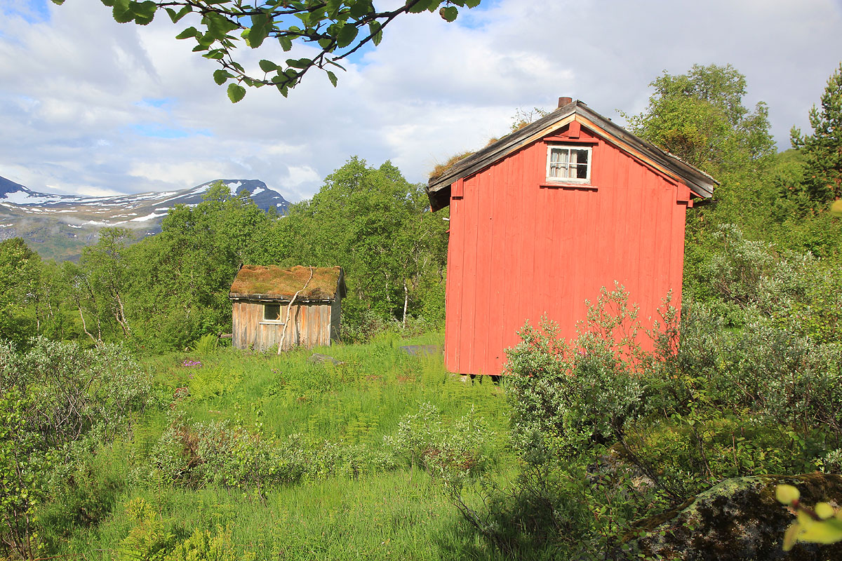
thus, it is easy to follow the route. The trail serves a red hut located
near the tree line. From here,
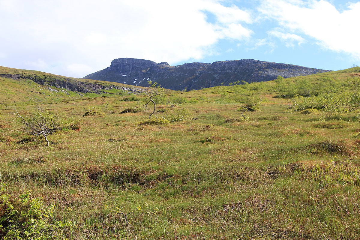
turn more right and follow the very gentle slopes uphill directly towards the lower end of the south ridge
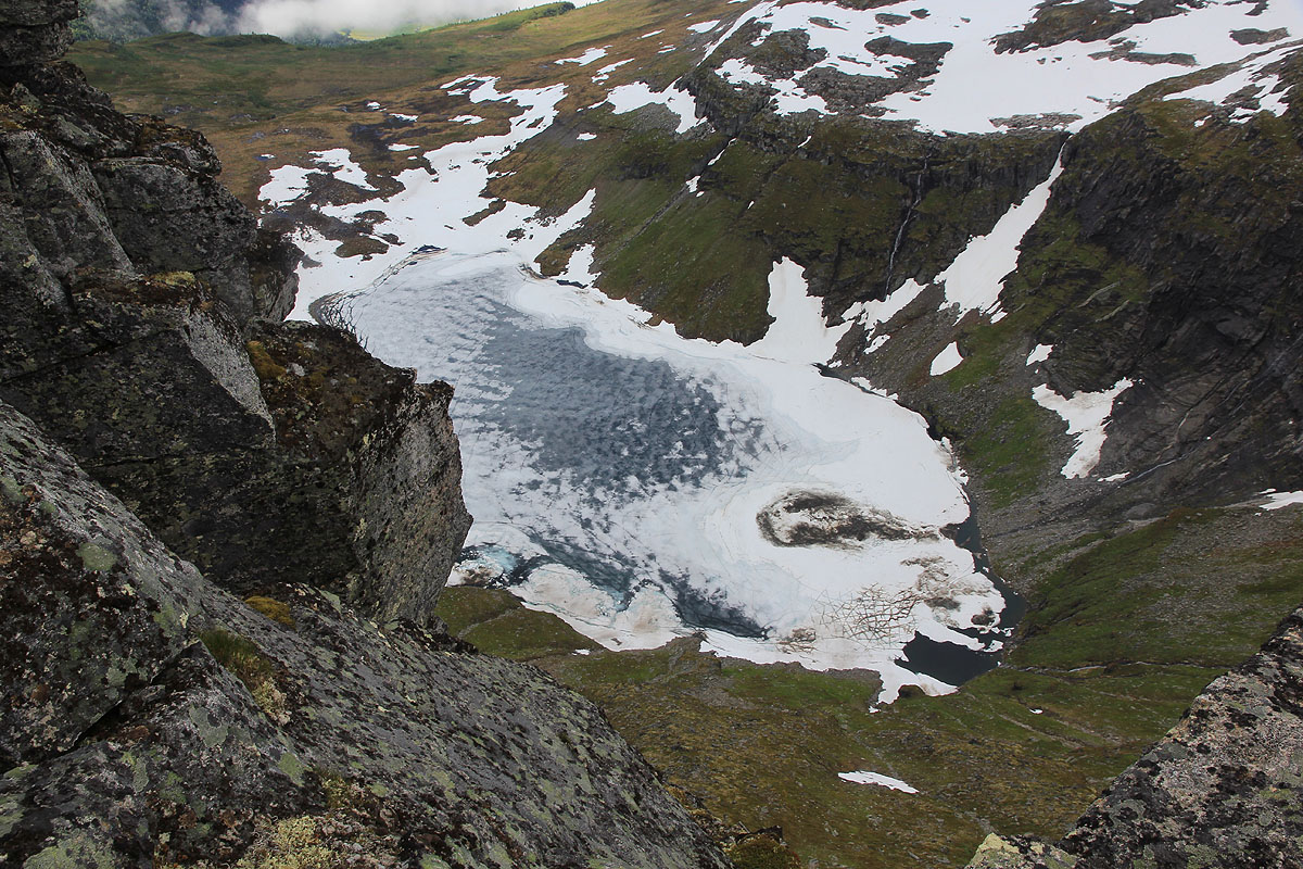
from Indre Sula. First, ascend a small step between some cliffs and cross a final, flat plateau where you
also cross the creek that drains from lake Sulvatnet. Ascend
the lower part of the ridge, then cross and
locate an easy passage (several options) into the small basin (Litlbotnen) behind. Ascend from this basin,
keeping a bit right to avoid the steeper slope. The terrain is easy, the rocks are stable and forms nice
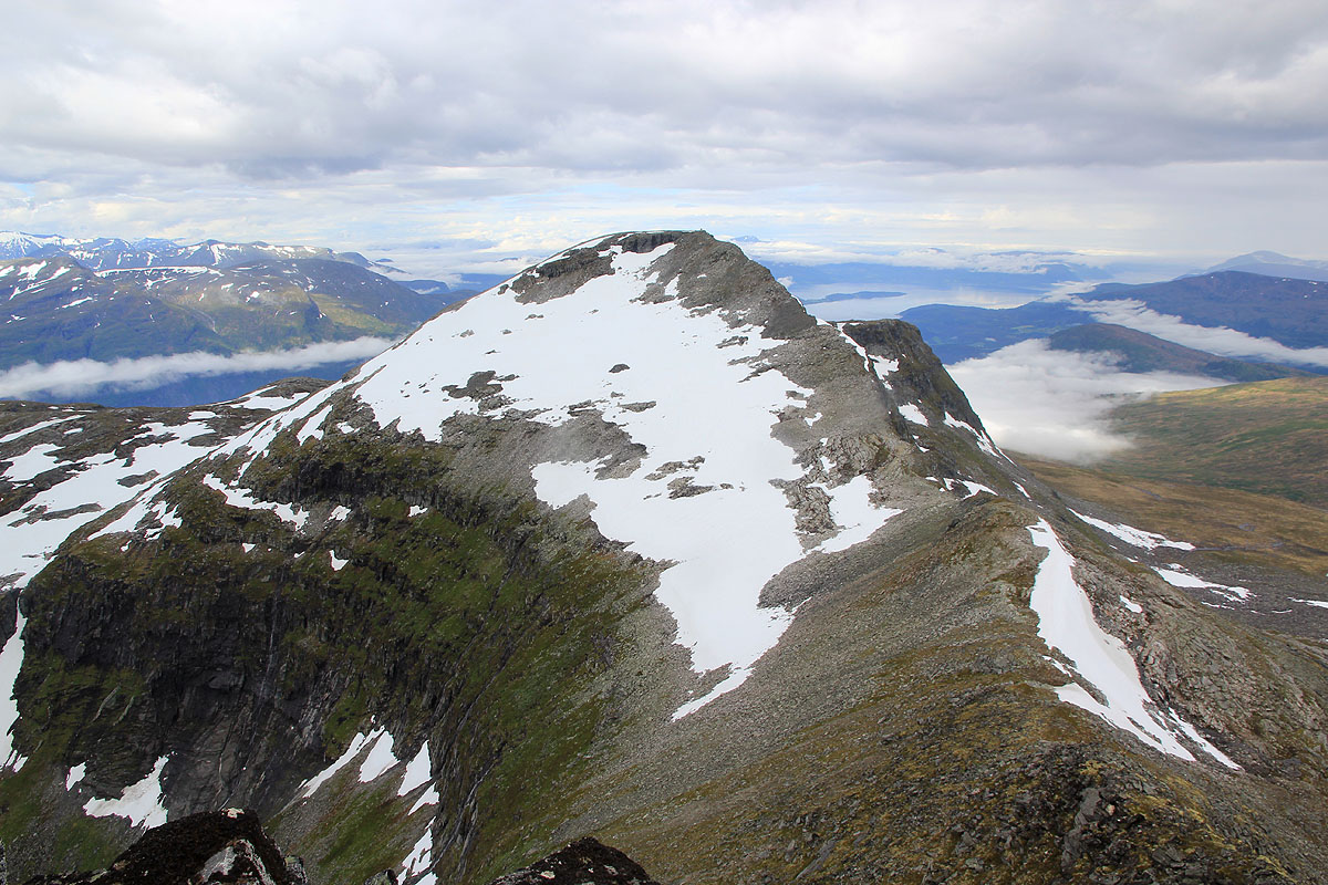
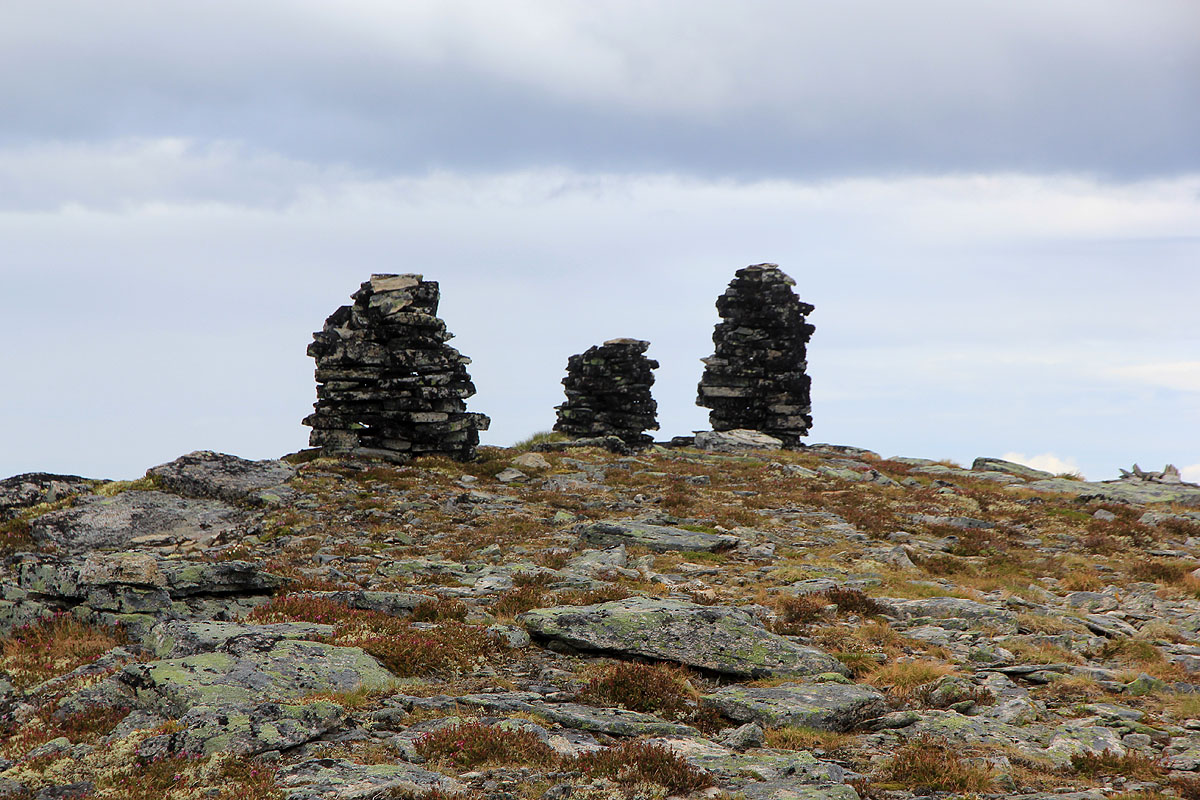
steps in many areas. Complete the easy ascent along the upper part of the south-east ridge to gain a fine
summit marked with three cairns. Comments:
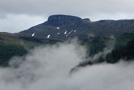
I had breakfast at Todalshytta after my strenuous climb of Viromkjerringa
the previous day. Driving across, it was easy to locate the forest road and it was an unexpected bonus
to observe that the gate was open and that the road was in good condition for a normal passenger car.
I left the car at 0855. Already having
gained an unexpected 400 vertical meter was nice and my motivation for an additional 200 meter bushwalk to
treeline, quite high. However, after just about 50 meter, I ran into a trail clearly marked with orange paint.
This climb looked more and more feasible. Arriving at the small farm hut,
the view was
nice and the weather improving. The terrain higher up was
indeed perfect for walking. I crossed the
south ridge in a place that was a bit tricky, steep cliffs with a bergschrund between the snow field in the
basin below. However, a passage was soon found and to my delight the rocks at the far end of the
basin were completely stable and formed a staircase. The rest was just a nice stroll as I arrived at
the Indre Sula summit at 1110. This was a nice summit,
steep cliffs and a great view. I stayed around until
1130, then returned along the same route getting back to the car already at 1300.