Location: North 60.46754, East 006.40910 (GPS at the summit)
Difficulty (YDS) class 2
Climbed May 3. 2020
Information:
How to get there:
The small town Voss is a good location from where to start.
When driving through the centre of Voss, turn right immediately
after crossing the bridge. Then immediately left follow signs for Rong.
Drive this road to the farm Rong, the road forks here, take the road
going downhill to your right. Depending on the time of year one may not
be able to drive much further. There is a good area for parking
on the left hand side of the road at location N60.51060, E006.47638,
elevation about 420 meter.
Route description:
Follow the road uphill to elevation about 560 meter, where you see that
the valley opens up on your right (west), this is a mountain farm
area called Løkjane. A signed trail forks right connecting
to a wooden bridge across the river. Continue west into the bowl
and cross a couple of creeks where the summer trail also climbs
more uphill out of the bowl. The route now bends more south while
ascending to 900 meter, and the lake Nedre Steinsetavatnet.
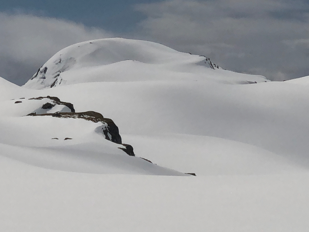
Hyvingen is now ahead, its north ridge extending all the way to
the upper Steinsetavatnet. Follow this ridge to the summit.
A note on prominence:
Hyvingen has its key saddle to the higher Grånakken to the north.
The M711 maps has only 20 meter contours and the saddle is between
the 980 and the 1000 meter contour. Thus, interpolation would give a saddle
of 990 and only 95 meter of prominence, short of the 100 meter criteria.
However, a closer inspection reveals that the saddle is north of the lake directly
west of the peak. This lake has a map elevation of 980 meter and drains south.
Just 80 meter north of this lake is a small lake with a map elevation of only 981 meter,
this lake drains north (to Voss). A visual inspection standing on (the ice) lake 981,
reveals that it is extremely flat terrain connecting to the bigger lake south.
For good measure, we may therefore assign an elevation of 982 meter to this key
saddle, resulting in a prominence of 103 meter.
Comments:
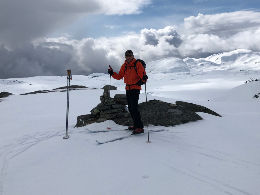
I did this trip with my friend Eric.
We started out at 1045 and reached the summit of Hyvingen at 1345, so 3 hours.
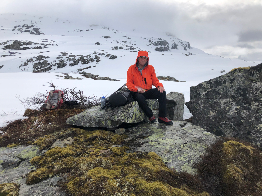
Before reaching the summit ridge,
we had a nice rest on some rocks near 900 meter
of elevation.
The weather was mostly ok with a few intermittent rain (later snow) showers.
After about 15 minutes, we continued down to the key saddle as this should be
carefully investigated. Next, we continued uphill to Grånakken.
