Location: North 60.95726, East006.12913 (GPS on the summit)
Hordaland, Norway
Difficulty: (YDS) class 2
Climbed July 19. 2022
Information:
How to get there:
Drive E-16 from Bergen to Evanger. Fork left here and drive the very
scenic road up the valley and across the mountains to Nesheim in Eksingedalen.
Turn right and drive about 5 kilometer to Trefall. Take the pretty nice gravel road
that forks left here and gives easy access to the mountain area. This road was
built to facilitate the hydro power production system.
Find parking on the north-east side of lake Gavlavatn.
This road may be blocked by snow until very late in the summer, but one can normally
get quite a long distance already in July.
Route description:
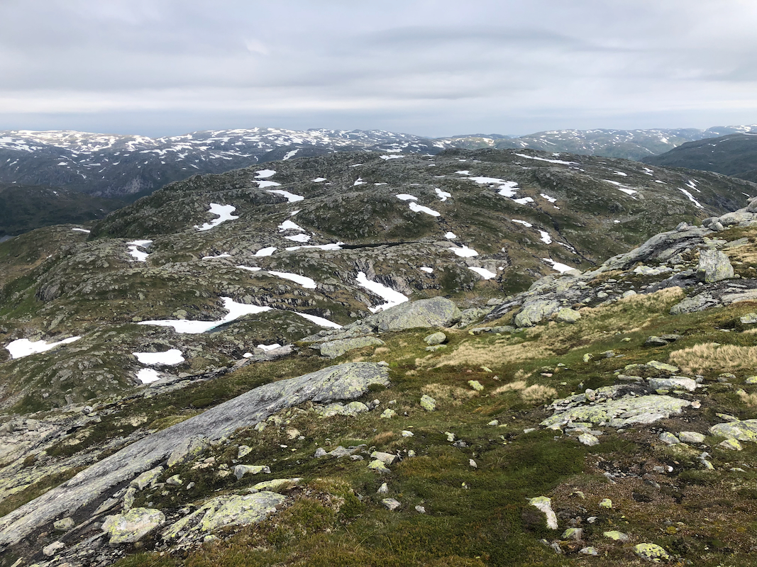
A good route is to walk in the valley on the west side of Sørdalsfjellet to
Skorvadalen. Continue on the east side of lake Øvre Sørdalsvatnet, then
ascend north to the summit.
One may also traverse across the top of Sørdalsfjellet, see comments below.
Comments:
I did this climb with my friend Harald. We first climbed Sørdalsfjellet.
Next, we descended more steeply north-west to near the col between the two mountains, then ascended
more or less directly towards the summit.
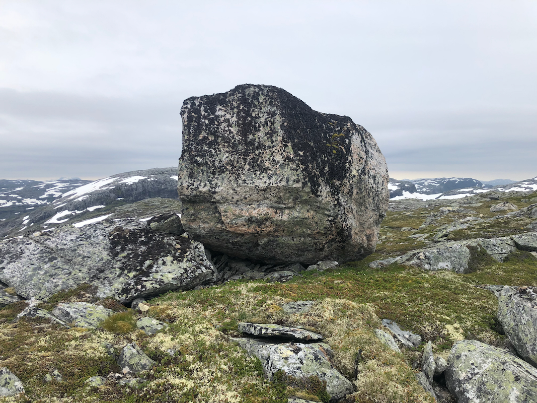
One should note that there are 5 competing summit points. Laser data confirms that the highest
point is on top of a giant boulder.
This rock is not easy to climb, YDS class 4. However,
one may stand on some "stepping stones" and touch the top by using a hand. This may be
considered good enough. A few more rocks and the move to get up will be considerably
simpler. The top of this rock is covered by black lichen, some protection is desireable, ie.
long (mountain) pants.
Resources:
Images
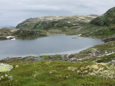
Hornafjellet, as seen before descending from Sørdalsfjellet.