Location: North 66.43896, East 013.65142 (GPS on the summit)
Rana, Norway
Difficulty: (YDS) class 2
Climbed August 14. 2021.
Information:
How to get there:
Locate Melfjorden directly (33 km) north-west of Mo i Rana.
Drive the road that serves Melfjordbotn, the small community at
the innermost part of Melfjorden. Continue until the road curves right
and soon reaches its highest point. Find a meeting place and park in such a way
that the spot may still be used by traffic. A good spot is at location
N66.46641, E013.77057, elevation about 360 meter.
Route description:
Descend to the first river that connects several small ponds. Under dry conditions
one may find a way across, otherwise one should ford this river. Continue roughly
along a line that runs directly to the summit.
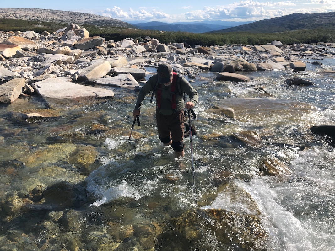
You will soon arrive at a second river, the main river draining the valley.
Fording this river
should not be problematic, the best spot is likely near location N66.462, E13.732 where the
river flows across a pretty flat area.
Continue uphill, one may avoid most
rocky areas, first by following gras, later there
is quite a bit of smooth rock surfaces, very nice to walk when dry. In fact, higher the
best ascent may be carried out (dry conditions) by walking on smooth surface rock, keep
well to the right hand side of some smaller creeks coming down, the slope is less steep
as one move further right.
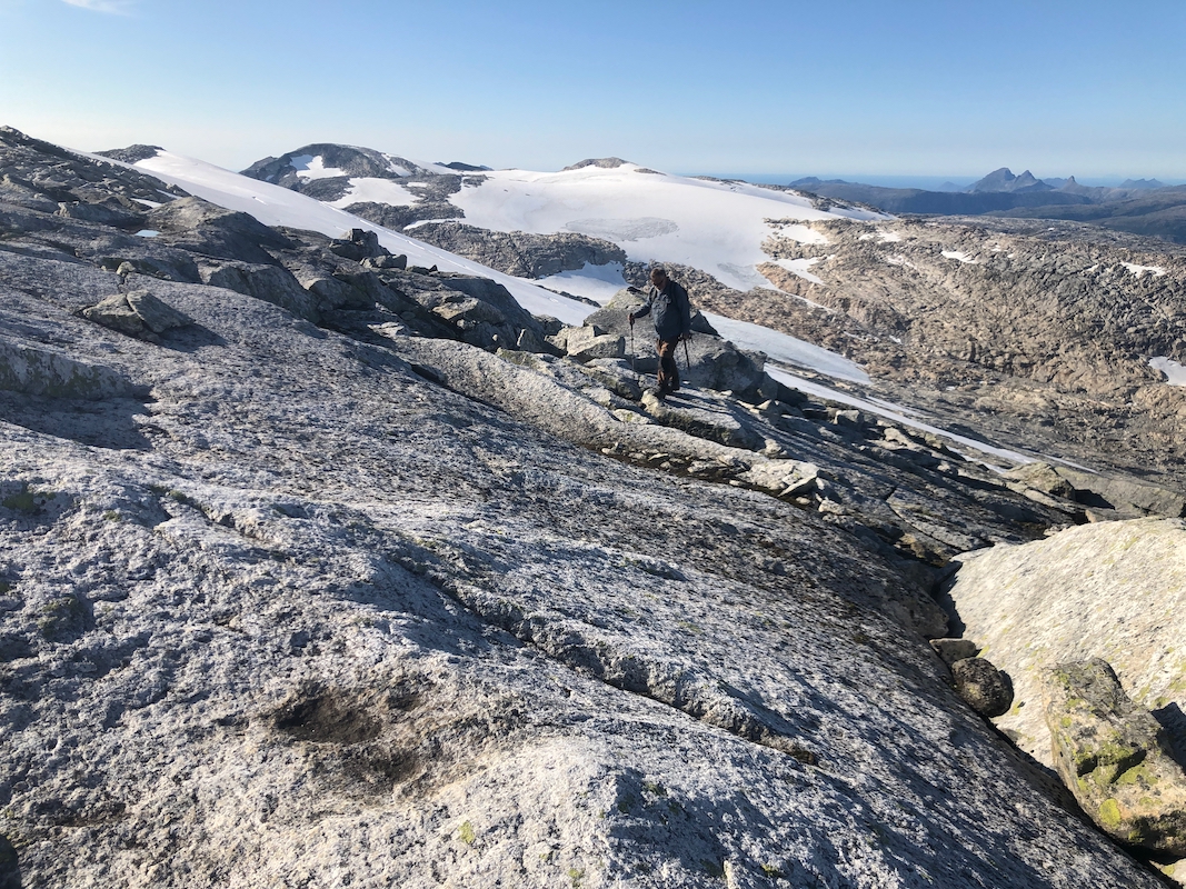
Above the first (slightly steeper) step, one is likely to get onto snow. The slopes are
gentle, one may follow this all the way to the main crest just east of the final summit
ridge, near point 1238m. From here, follow the main ridge to the summit. There is a nice
ramp/ledge going parallel with the highest ridge, along the left (south) side. This is
easy to follow and runs all the way "around the corner", with short and easy finish
to the highest point. The summit does not have a proper cairn, it is marked with only
a couple of rocks.
Comments:
Jostein and I drove from Hattfjelldal. It was an absolutely gorgeous day and
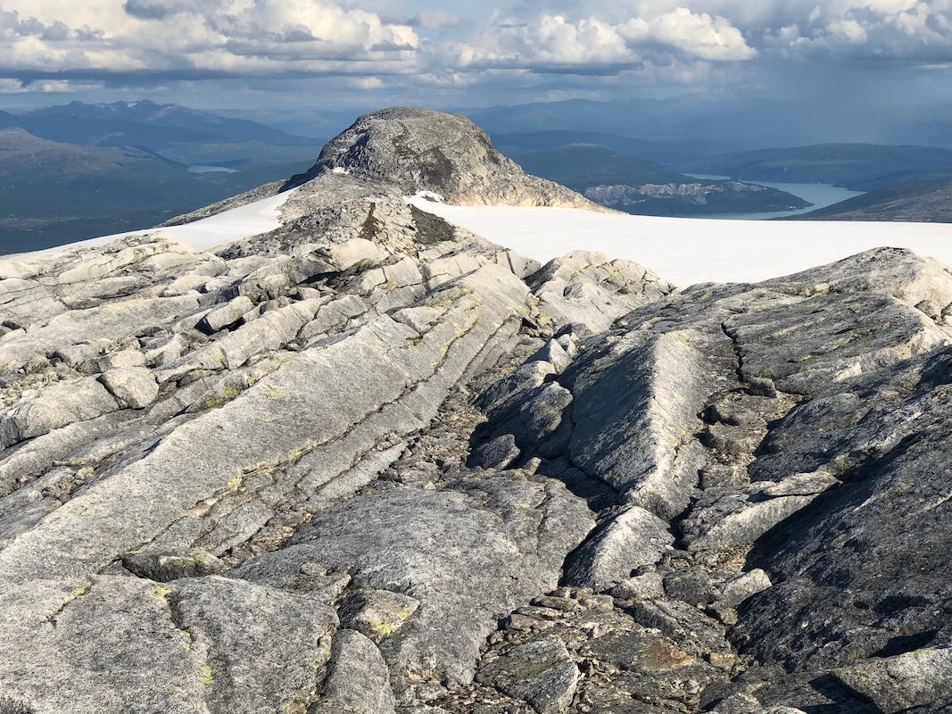
we decided to climb the highest point above the Høgtuva glacier -
Vestre Høgtuva, at 1294 m.
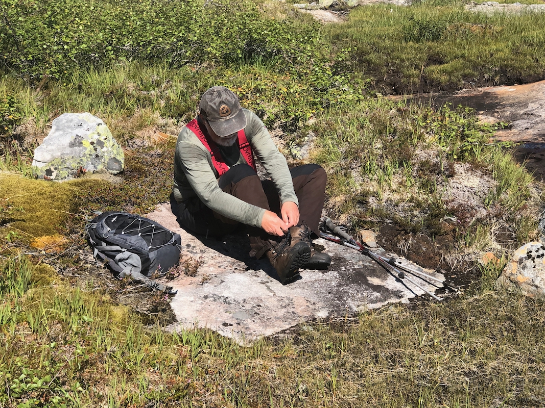
We started at 1140 and easily crossed the first creek-system without touching any
water. Dry weather had caused rather small rivers this summer.
However, when we came to the main river draining the valley, it was clear that it
needed fording.
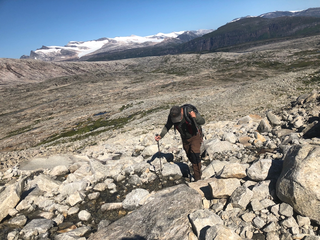
I carefully stepped (barefoot) onto some smooth rock, only to
discover that it was more slippery than polished ice! No way to cross here. We walked
a bit down stream to find a place where the rocks were just medium sized and much better
to walk across.
The walking was easy and we soon ascended on
smooth rock to the next step uphill where
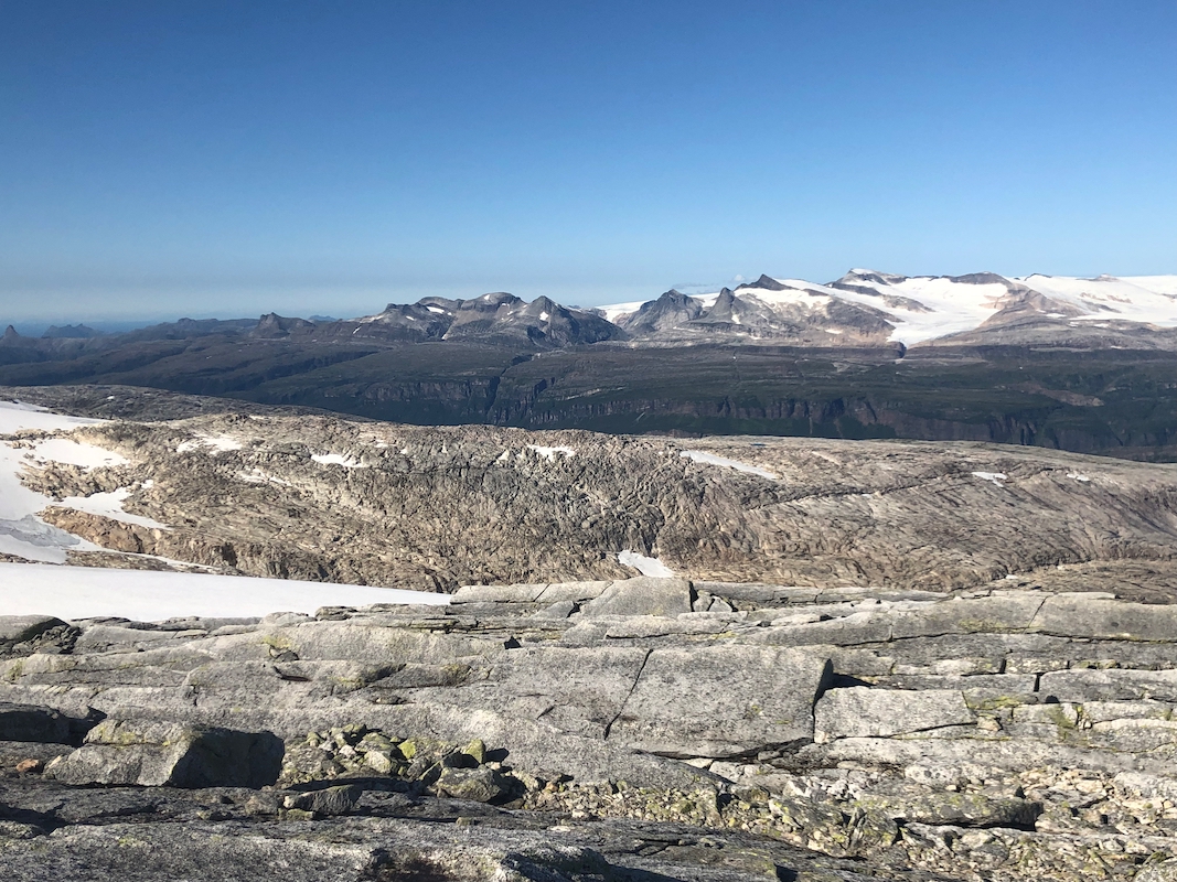
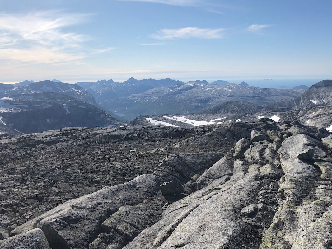
we would meet snow. The views north
became only better and better. After reaching the main
crest, we followed a distinct (black) ledge that ran below the ridgeline and connected
nicely to the main summit. Arriving at 1615, we lingered until 1640 and made our
return hike along roughly the same line, back at the car by 2000.
Resources:
Images
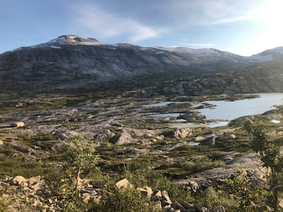
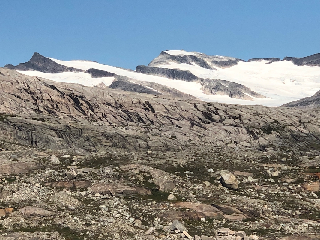
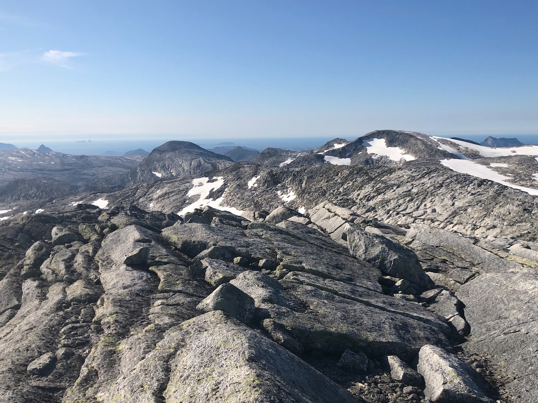
Høgtuva, the highest (west) peak is above the snow to the right.