Location: North 60.86295, East 005.79521 (GPS on the summit)
Hordaland, Norway
Difficulty: (YDS) class 2
Climbed July 21. 2022
Information:
How to get there:
Take E-39 north from Bergen. After Romarheim, cross the mountain pass, then exit right
just before the long (downhill) tunnel to Matre. Pass under the Hwy., then turn right
to start driving a very long mountain road built to construct the hydro power dams and plants
to the north. Drive this road to its very end, there is parking on the left side of the pretty
large dam. This location is N60.88075, E005.79398, elevation about 785 meter.
Route description:
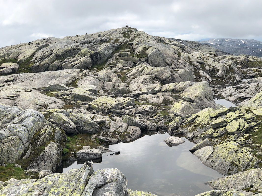
Follow the signed and T-marked trail towards Skavlabu.
You start by crossing on top of the dam.
When reaching the 2nd. small lake near 900 meter of elevation, you should see
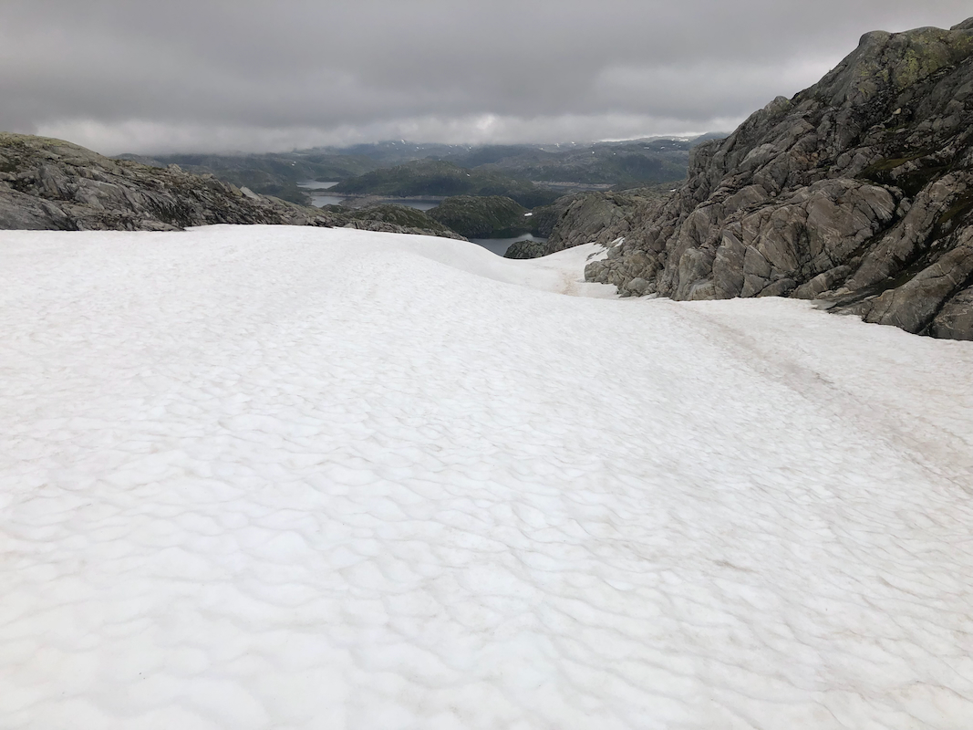
a very distinct gully coming down towards this lake from your right.
Most likely, a long patch of snow remains. Hike up this snow to reach the top
of the ridge, continue south along the
now gently rising ridge to the
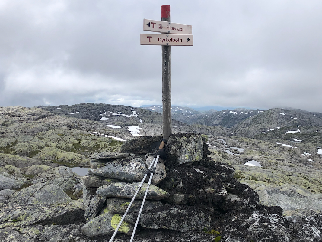
summit marked with a pole and trail signs.
Alternatively, follow the trail a bit longer - to a third small lake.
Turn right here and ascend the ridge to gain the summit.
Comments:
I did this trip with my friend Harald. WE left the car around
noon and arrived at the summit in about 45 minutes
We decided to take different routes on our way back.
I followed the ridge north, then
descended the snow gully to
reach the small lake near 900 meter.
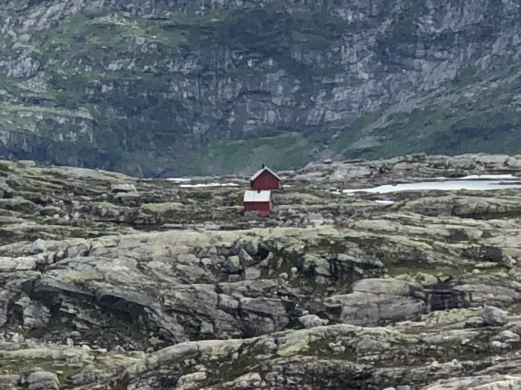
Harald would do a small mountain run and pay a brief visit to
Skavlabu.
I returned in about 40 minutes and the extra distance caused
Harald to spend about one hour on his run.
