Location: North 65.86170, East 014.37351 (GPS at the summit)
Difficulty (YDS) class 2
Climbed April 25. 2021
Information:
How to get there:
From Hwy. E-6, turn east towards Hattfjelldal in the small place called
Trofors, this is about 35 kilometer south of Mosjøen. In Hattfjelldal, continue
Hwy. E-73 towards Sweden, but fork left in Krutå, in order to remain along the
shore of lake Røssvatn. Drive this road until it ends at the farm Bakketun.
There is a large turn-around place, park near the side. This is location
N65.85828, E014.21681, elevation 400 meter.
Route description:
A farm road (closed by snow in winter/spring), forks off right just before
the parking area. Ski up right at the side of the Bakketun farm and you will
quickly merge with this road. Follow the road gently uphill, then downhill to
a place where it turns more left, elevation about 460 meter. Leave the road here,
you will cross a meadow. Pick a route more or less directly towards point 729m,
you will cross a number of smaller gullies with creeks (frozen in April). Tun slightly
below and north of point 729m, and cross Hjartfjelldalen, then continue your
climbing traverse and reach the 800 meter level. Continue your traverse along the
best line, possibly ascending slightly, to reach a huge, very nice gully that basically
runs from near the summit, all the way to the lake. You will have steeper terrain both
below and above, elevation near 850m is likely a good goal to shoot for.
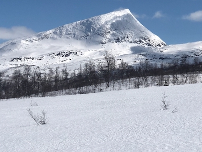
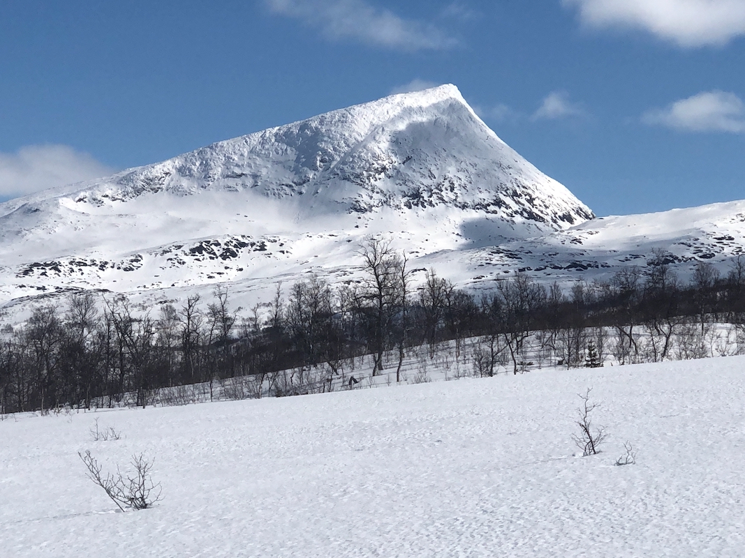
Next, ski uphill in this large and wide gully, as you approach the top, bend slightly
right and continue to the short, highest summit ridge. The top is a short distance
right. Be careful with the south side, it may be corniced and the drop is sheer vertical.
Comments:
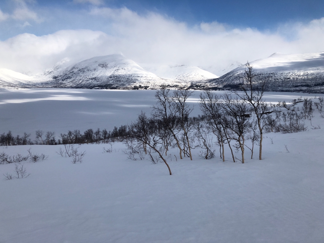
I left Sæterstad after a brief breakfast and drove to the trailhead.
Leaving at 0720, the snow was crusty after a cold night. Skiing was easy and
I decided to pick a line that went more or less directly to the area of the peak
that looked best for ascending. This did involve quite a few smaller ups and downs
due to a number of smaller creeks that drains the slope down towards lake Røssvatnet.
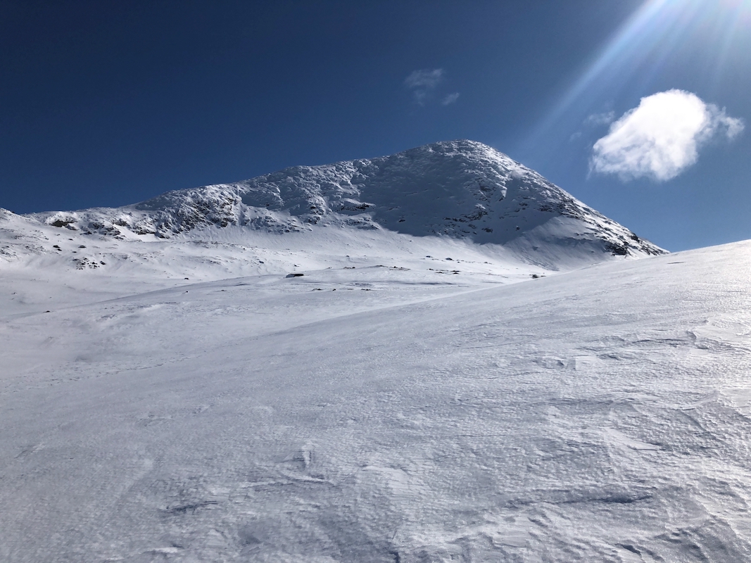
I made good progress and skied across Hjartfjelldalen, ascending to about 800 meter.
From here, one need to traverse in order to reach the nice, big gully that runs up to the
summit. This traverse was slightly cumbersome, as the crust was hard and the wide skins on
my skis reduced the grip of the ski edge. I was happy when reaching the gully. The rest of
the ascent was pure delight, a good layer of soft snow on top of sturdy crust, I was
already looking forward to descending!
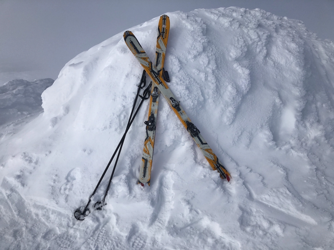
I arrived at the summit at 1045, so 3:25 up.
Good views all around, the peaks in
Okstindan winning first price.
I took a brief rest and prepared boots and skis for
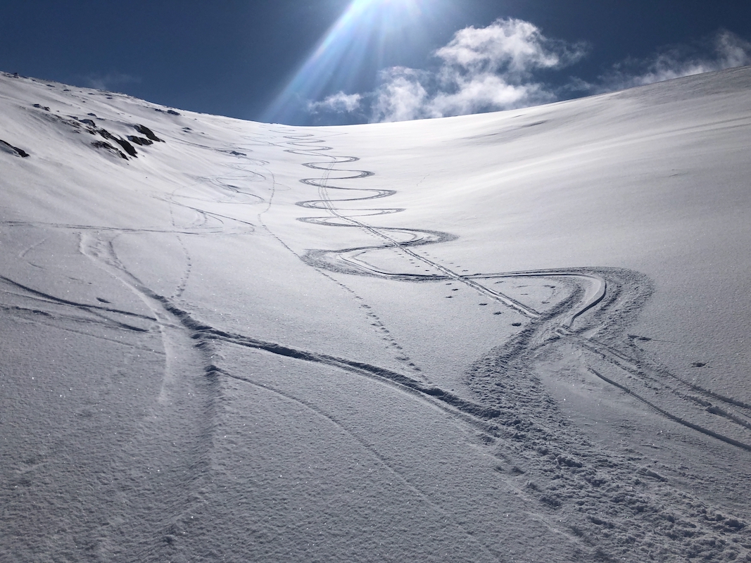
the descent. Leaving at 1100, the skiing back down was
just as good as promised.
Traversing, now with steel edges, was all easy and then I decided to explore a
higher route back, hopefully avoiding all the (small) uphills that I had skied (down)
on my ascent route.
This worked pretty well, I side-stepped up a small hill in one place, otherwise
kept gliding in and outt of the various valley basins, finally coming down a gentle,
wide open area connecting with the (now) downhill part of the farm road. A couple of
turns while skiing down this road, then stopping next to my car at 1200. A very nice,
one hour descent.