How to get there:
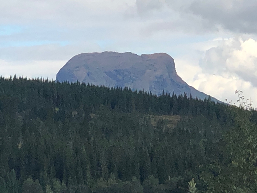
This characteristic mountain is located in Hattfjelldal. In fact, the municipality
is named after the peak. Drive E-6 north from Trøndelag into Nordland. Fork
right (east) in Trofors, onto Hwy. 73. Drive through the center of Hattfjelldal, about
2 kilometer from the center, fork right onto the smaller road 7344. Find signed parking
with information about the trail at location N65.57330, E014.20592, elevation about 520 meter.
Route description:
Continue about 100 more meter along the road, the trail forks left here, following an old
tractor track. The trail is well marked from here and all the way to the summit.
Comments:
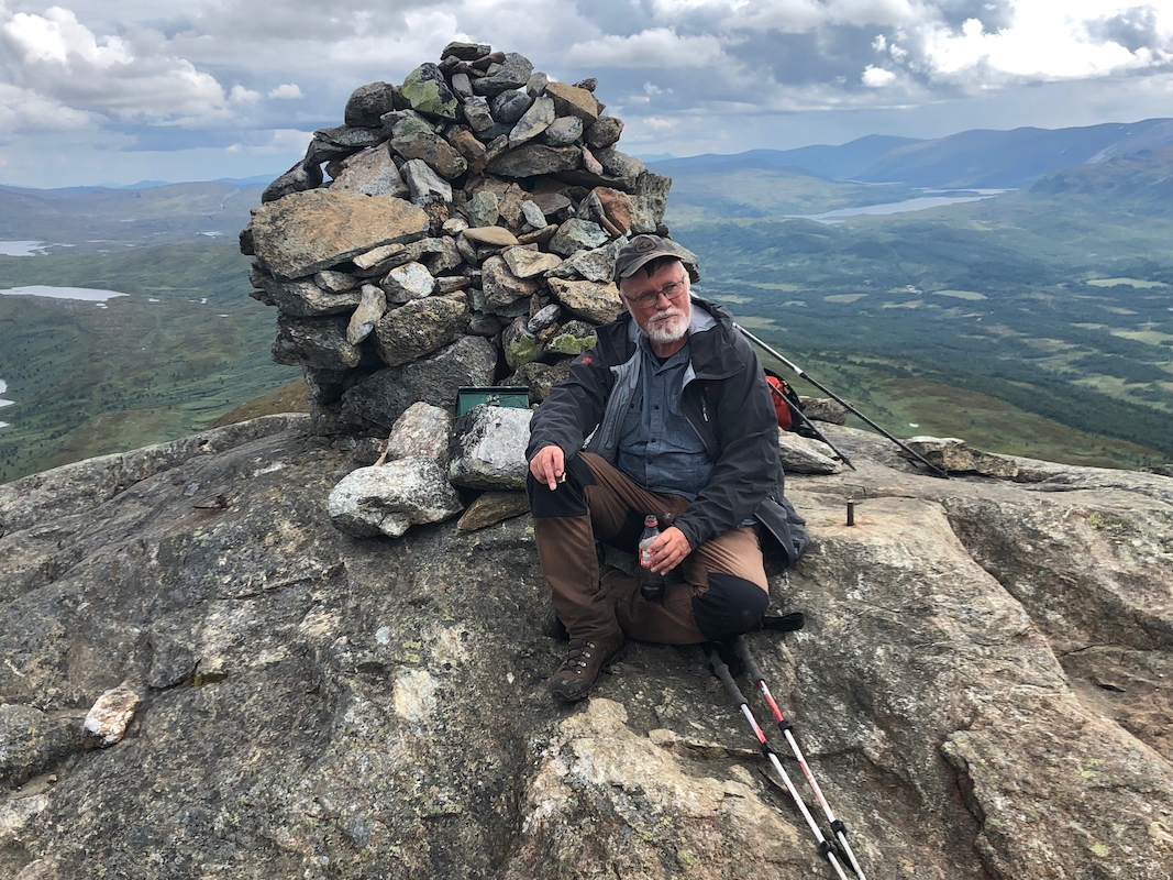
Another nice day. We started at
1110 and arrived at the summit 2 hours later.
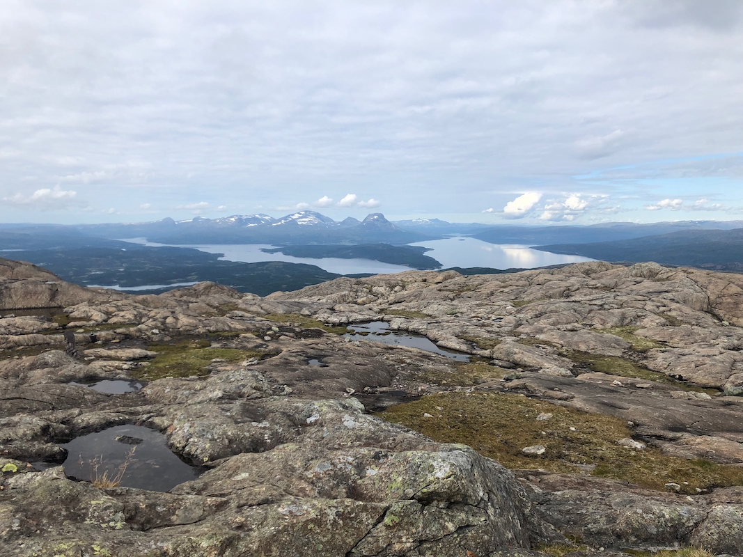
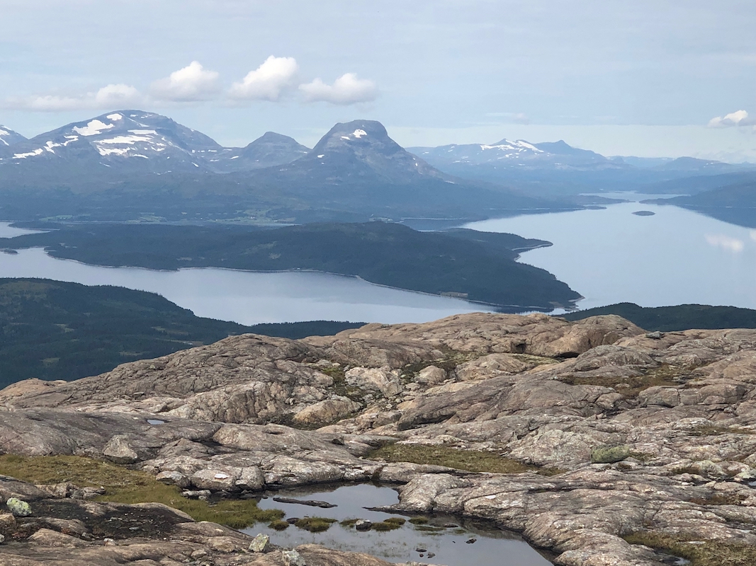
Good views all around, perhaps most interesting across the huge lake Røssvatn, second
largest in Norway.
The return hike took 1:20. We stayed at the Hattfjelldalen hotel. I had been asked
to give a couple of lectures about mountains. This had been announced and about
20 people attended.
The next morning, our trip continued north to Rana.
