Location: North 59.79264, East 006.41965 (GPS at the summit)
Difficulty (YDS) class 2
Climbed April 19. 2020
Information:
How to get there:
Locate Odda at the south end of Sørfjorden. Drive south the intersection with
Hwy. E-134, turn right (west) towards Haugesund. Drive about 7 kilometer, turn right
onto the (old) road signed for bicycles before entering the tunnel.
Drive about 2 kilometer and locate a small parking area near the beginning of a gated
forest road (do not block the gate). This is the trailhead,
location N59.87761, E006.46012, elevation
about 285 meter.
Route description:
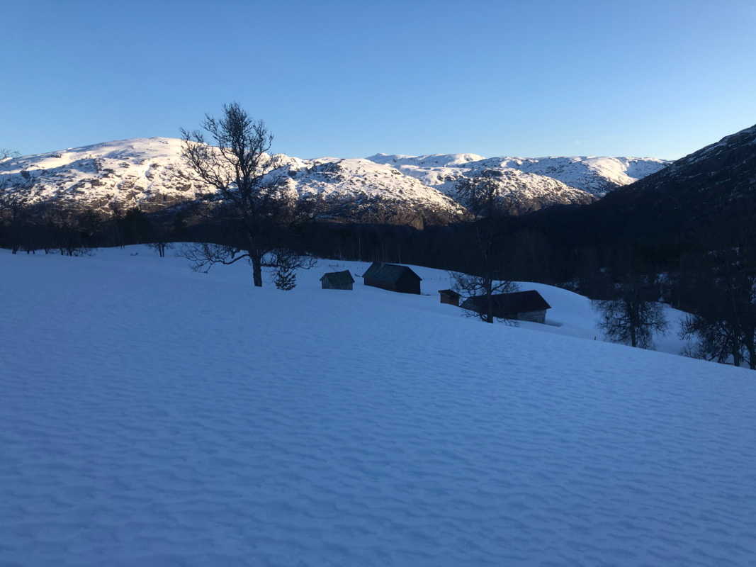
Follow the forest road (steeply uphill) until it ends near 400 meter of elevation.
A T-marked trail continues south, it crosses a river then arrives at the mountain
farm called Mjelkestølen.
Continue up the valley, then ascend more west to
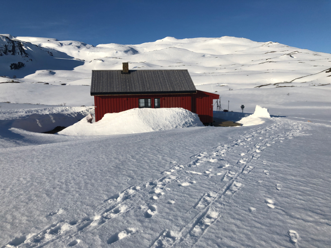
reach the DNT hut Simlebu.
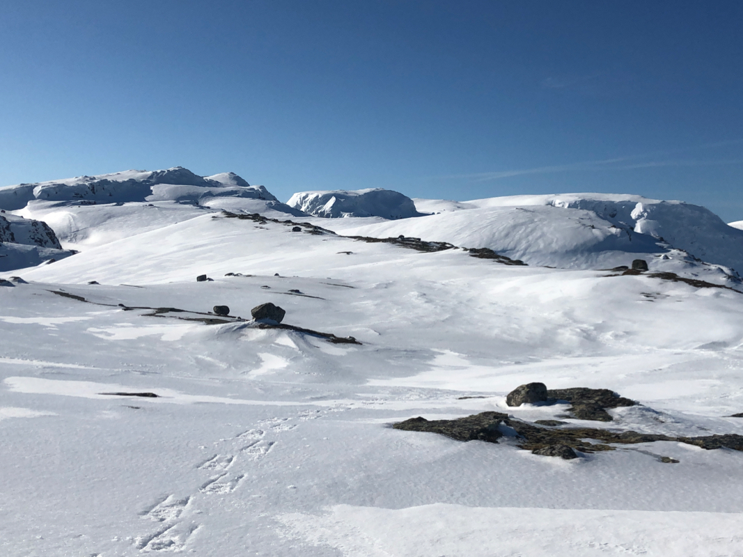
From Simlebu, ascend the large slope going south. Continue uphill in the same general
direction until you reach the top of this ridge at location N59.83178, E006.42952, elevation
about 1220 meter.
Turn more south, follow the main ridge as it descends to a broad saddle north of
Kvannurdenuten. Turn more right, cross the small valley
and continue across south
of point 1255m, north of Kvannurdenuten,
in order to descend to the lake
Øvra Fjærebotnavatnet at 1101 meter. Cross the lake and ascend a
distinct gully, first a bit west of south, then more left (east of south), to
reach the area north of lake 1318m. Note that you must stay a bit left since there
is a steep drop if you pick a route more right.
The remaining ascent is quite easy, note that the biggest cairn marking a bend
in a community border is not the highest point.
Comments:
I slept in the car at the trailhead before this climb. I arrived before sunset, got myself
a pizza at
the Rullestad camping (located by the lake).
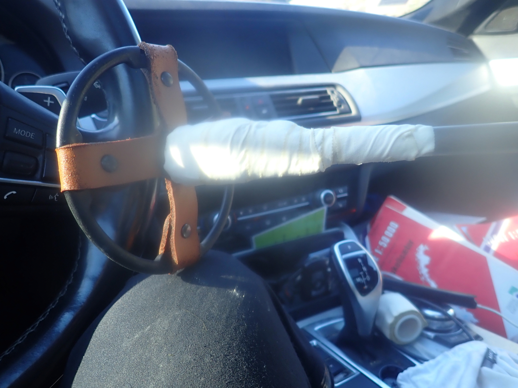
I also had time to repair my ski pole,
it had broken down the day before - a thing that should not have happened, this
pole was brand new.
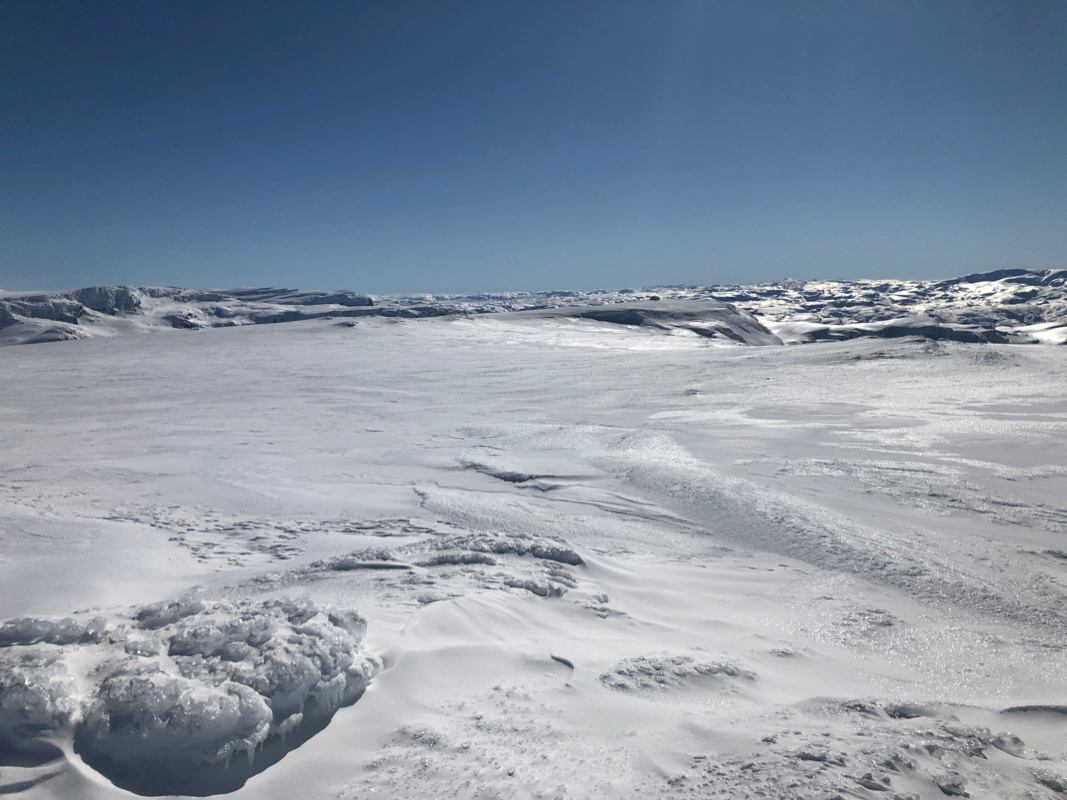
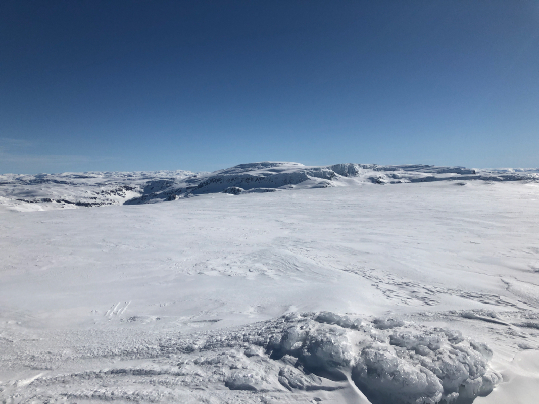
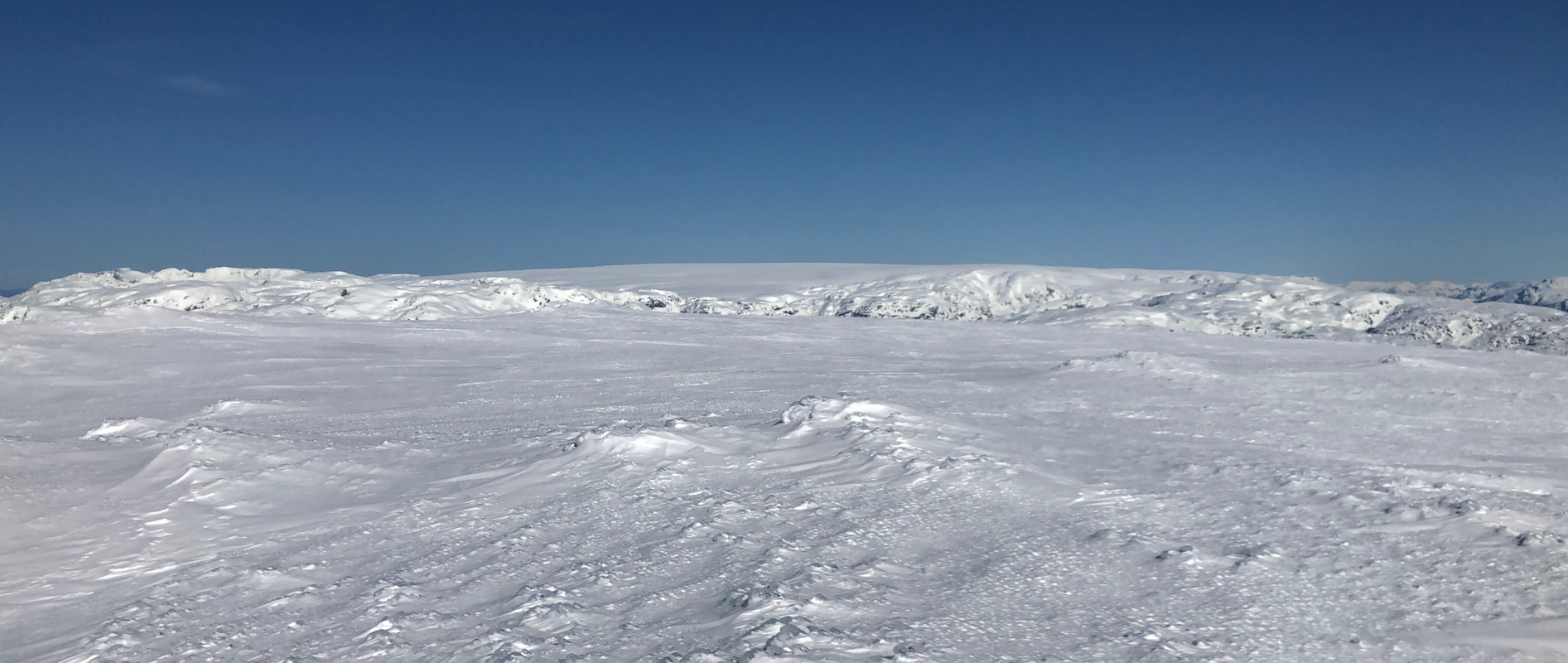
I started out at 0700, after hiking up the steep forest road, patches of snow showed
up, but since the morning crust supported me well, I walked all the way to the first
mountain farm. From here, I skied steeply up the first valley then more gently, arriving at
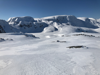
Simlebu by 0815. I took a 15 minute break here, then continued up the broad slope towards the
first main ridge above 1200 meter. It was still very icy and the terrain near Helgedalsnuten
looked steepish on my map. I carried my crampons and an ice axe for that purpose. Skiing would
certainly improve if I waited 1-2 hours to let the sun work, however, I just left my skis here
at 0945 and decided that the crust would likely carry my weight for many hours.
I continued on foot and arrived at
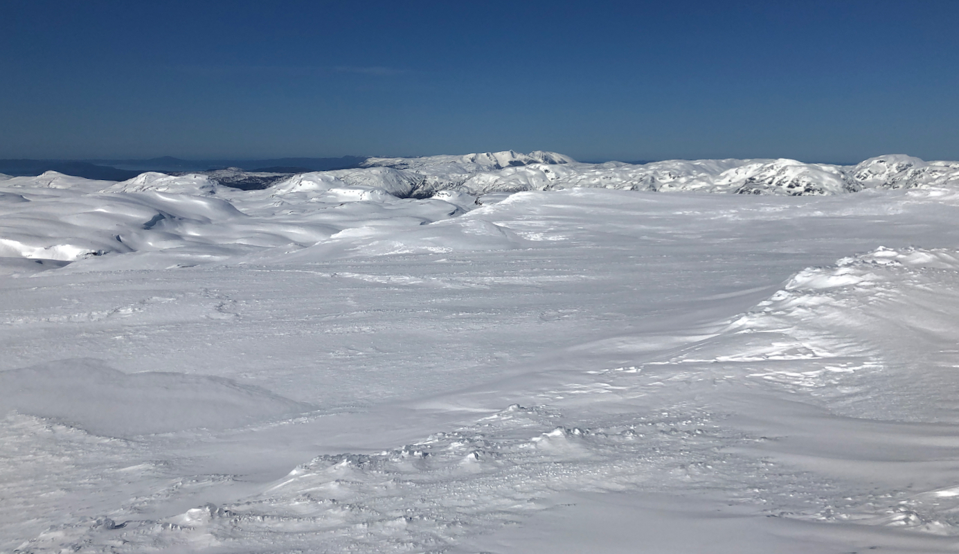
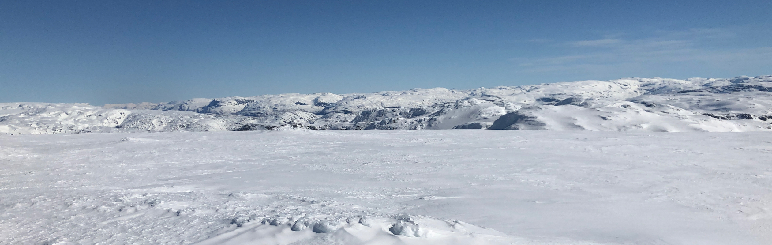
the proper highest point on Helgedalsnuten at
1130. Very good views in all directions. I continued after 15 minutes towards
Kvannurdenuten.